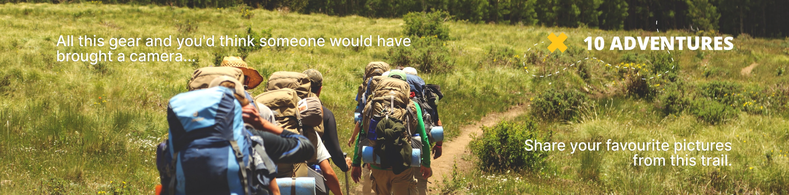
Baker Lake Trail
View Photos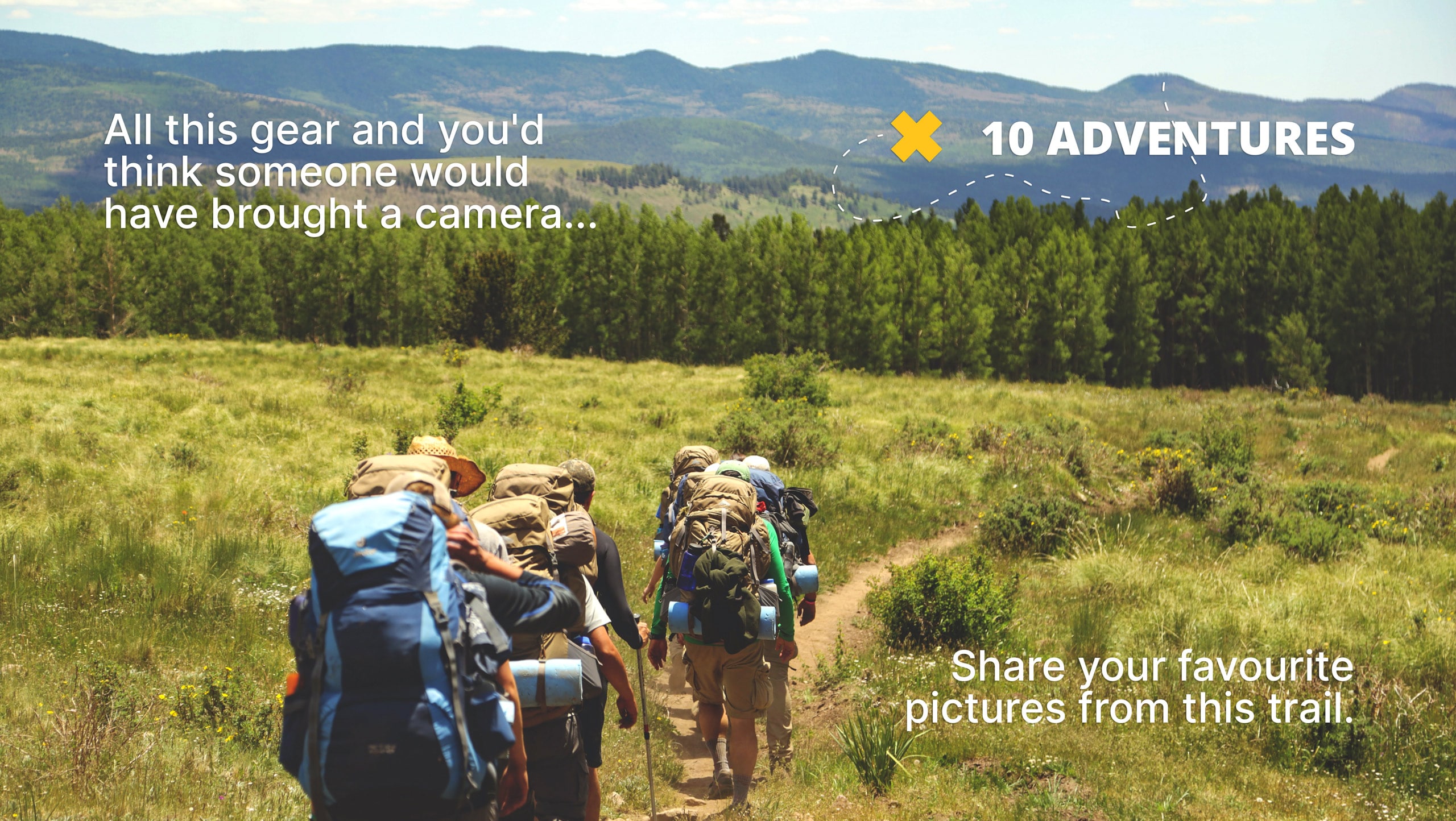
Baker Lake Trail
Difficulty Rating:
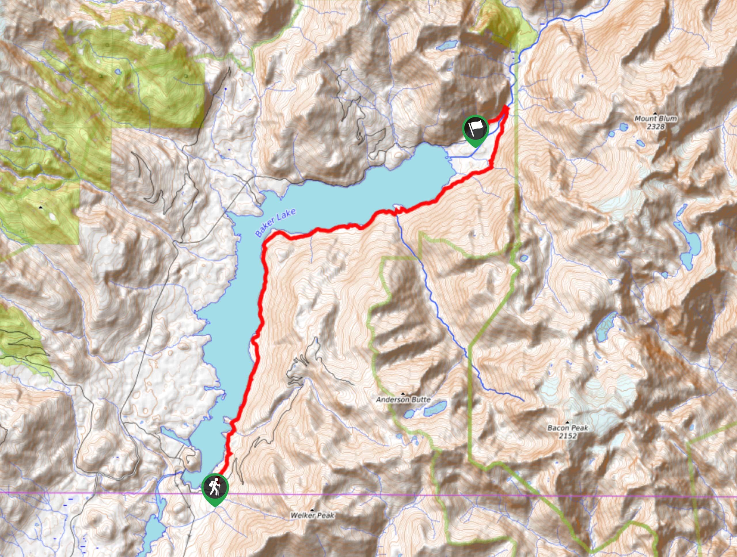
Baker Lake Trail is a 14.0mi point-to-point hike that can be used for day trips or multi-day adventures. This trail is dotted with campsites as it stretches along the southern shore of Baker Lake, but despite the number of adventurers it attracts, it still feels very peaceful and quiet.
This trail has two access points, one at the southern end of the lake and one at the northern end of the lake. You can hike as far as you like on this route before turning back if you intend to use it for day trips, and the lack of junctions and straightforward nature of the trail make navigation a breeze. The trail also enjoys a relatively low elevation, making it hikeable when other routes are covered in snow.
Getting there
The southern trailhead for the Baker Lake Trail is on Forest Road 1107 and the northern trailhead is on Baker Lake Road.

About
| Backcountry Campground | Various sites |
| When to do | April-November |
| Pets allowed | Yes - On Leash |
| Family friendly | Yes |
| Route Signage | Average |
| Crowd Levels | High |
| Route Type | One Way |
Baker Lake Trail
Elevation Graph
Weather
Baker Lake Trail Description
Trailing through old-growth trees alongside a long blue stretch of water, Baker Lake Trail is an ideal way to get lost for an afternoon or a couple of days. This trail runs along the entire southeastern shore of Baker Lake from one end to the other, with 14.0mi of trail to explore in between.
On hot days, the lake provides a refreshing spot for a dip. In the winter, the relative lack of snow on the route allows for a most dry-footed hike.
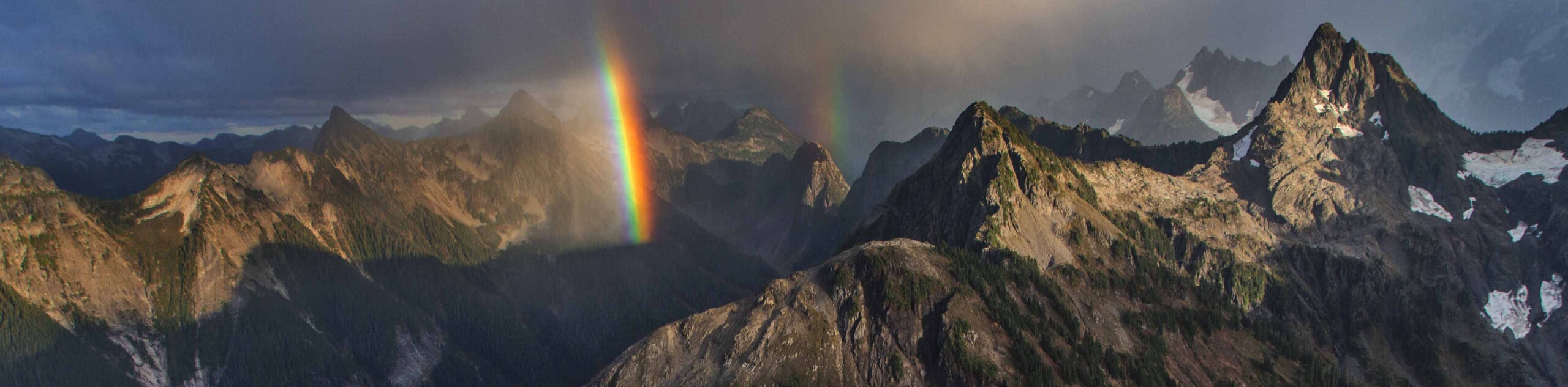
The scenery on this route is dominated by old-growth forests and the sparkling lake, situated underneath impressive nearby mountains. Look a little closer and you’ll be able to appreciate mushrooms, lichens, and moss. Creeks flow into the lake along the route, adding pleasant background noise to your adventure.
You can hike as much or as little of this trail as you like for a day trip, or you can make use of the several campsites should you want to take a longer adventure. The campsites have fire pits and backcountry toilets.
The southern trailhead for Baker Lake Trail is on the forest road at the bottom tip of the lake. From here, the route gently descends to the lakeshore. You’ll hike across one point before coming to Anderson Point, where there are campsites.
Continuing past Anderson Point, you’ll hike alongside the water to the Maple Grove campsites. Past here, you’ll round a wide point and continue along the shore to Noisy Creek, where more campsites await. Most day hikers turn around at either Maple Grove or Noisy Creek.
Take a moment to appreciate the creek bubbling its way to the lake before completing your trek at the northern end of the lake, where the trail extends past the end of the water and across Baker River before doubling back to the Baker Lake road trailhead.
Hiking Route Highlights
Baker Lake
The 4,800-acre Baker Lake sits in northern Washington state in the Mount Baker-Snoqualmie National Forest. The lake, situated at an elevation of 700ft, receives much less snow than other more elevated features, making it a popular camping, fishing, boating, and hiking destination year-round.
Frequently Asked Questions
Can you swim in Baker Lake?
Yes, you can swim in the lake.
Are dogs allowed at Baker Lake?
Yes, dogs are allowed at the lake and on the trail. Dogs should be kept on leash at all times.
Insider Hints
You’ll need a Northwest Forest Pass for this hike.
There is lots of additional camping space on the other side of the lake should you wish to visit with an RV or use a more developed campground.
Similar hikes to the Baker Lake Trail hike
Twin Lakes Trail
Twin Lakes Trail is a 14.7mi hike in the Mount Baker Wilderness that leads you to two picturesque…
Racehorse Falls Loop
The Racehorse Trail Loop is an easy hike to a pretty waterfall that cascades over several tiers. The hike to…
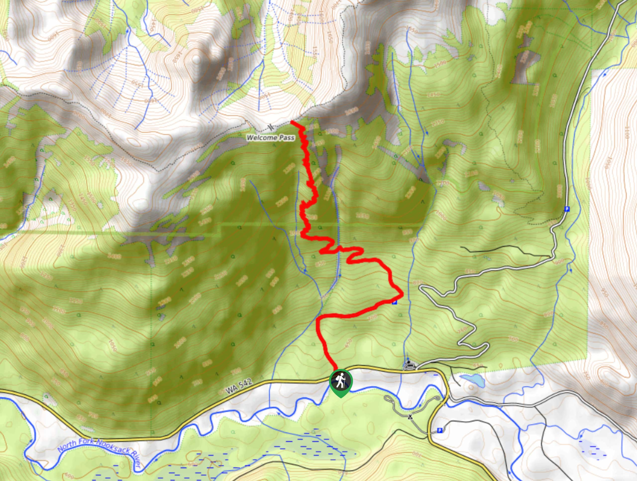
Welcome Pass Hike
The hike to Welcome Pass on High Divide Trail offers fantastic views of the surrounding mountains and lakes too numerous…
Comments