

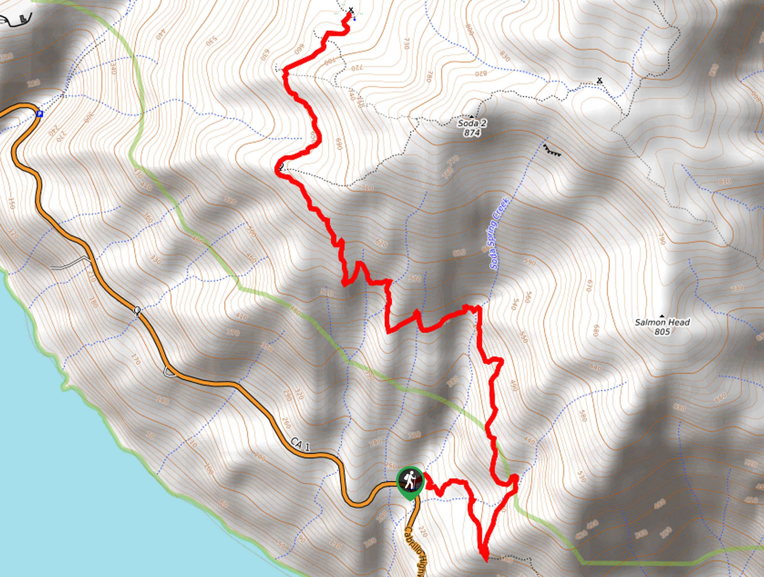
Soda Springs Creek Hike
View PhotosSoda Springs Creek Hike
Difficulty Rating:
The Soda Springs Creek Hike is a wonderful adventure along the California coast that boasts unrivaled scenery. This wonderful adventure exhibits the area’s topographic variety as well as the diversity of flora and fauna—this trek can’t be topped.
Getting there
The Soda Springs Creek Hike departs from the trailhead off State Route 1.
About
| Backcountry Campground | No |
| When to do | Year-round |
| Pets allowed | Yes - On Leash |
| Family friendly | Older Children only |
| Route Signage | Average |
| Crowd Levels | Moderate |
| Route Type | Out and back |
Soda Springs Creek Hike
Elevation Graph
Weather
Soda Springs Creek Hike Description
The Soda Springs Creek Trail makes for an amazing day of hiking. Travel through high brush and lush coastal woodlands up to a breathtaking overlook of the dramatic coastline bound by lush headlands. Offering awe-inspiring views, the exposed route also warrants extreme conditions—expect fog and wind! We encourage you to dress in layers as insurance against changing conditions. Don’t forget to charge your camera; the sneery along this route is picture-perfect.
Embark on your adventure along the Soda Springs Creek Hike from the trailhead off State Route 1. Setting out from here, you will be guided southeast to an intersection. Here, veer left, and you will be diverted onto the Buckeye Trail. This route will lead adventurers northwest along the mountainside decorated with chaparral shrubs and wildflowers. As you navigate the winding terrain, be sure to admire the beautiful scenery.
You will ultimately reach the trail’s end at the Buckeye Campground. Marvel in the postcard perfect scenery of the Pacific and the bounding headlands from here. After reveling in the view, retrace your footing along the path back down to the trailhead.
Similar hikes to the Soda Springs Creek Hike hike
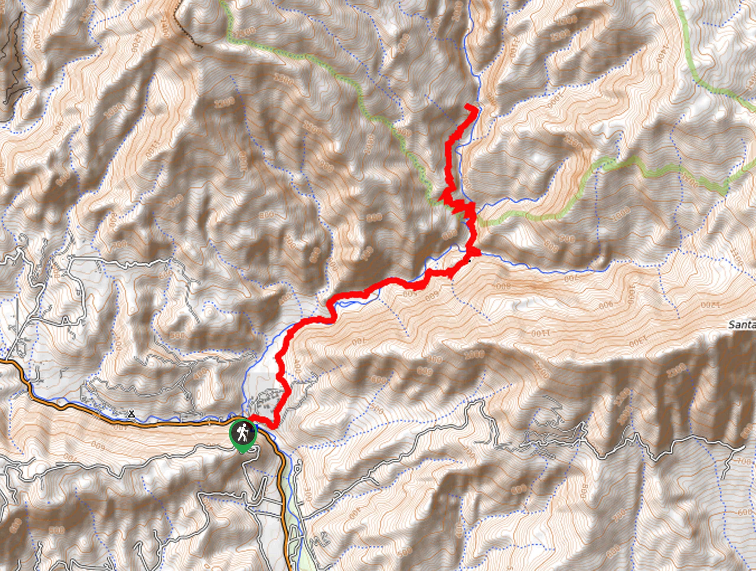
Last Chance Trail
The Last Chance Trail is an amazing adventure through the Santa Paula Canyon amongst the Topatopa Mountains. Indulge in the…
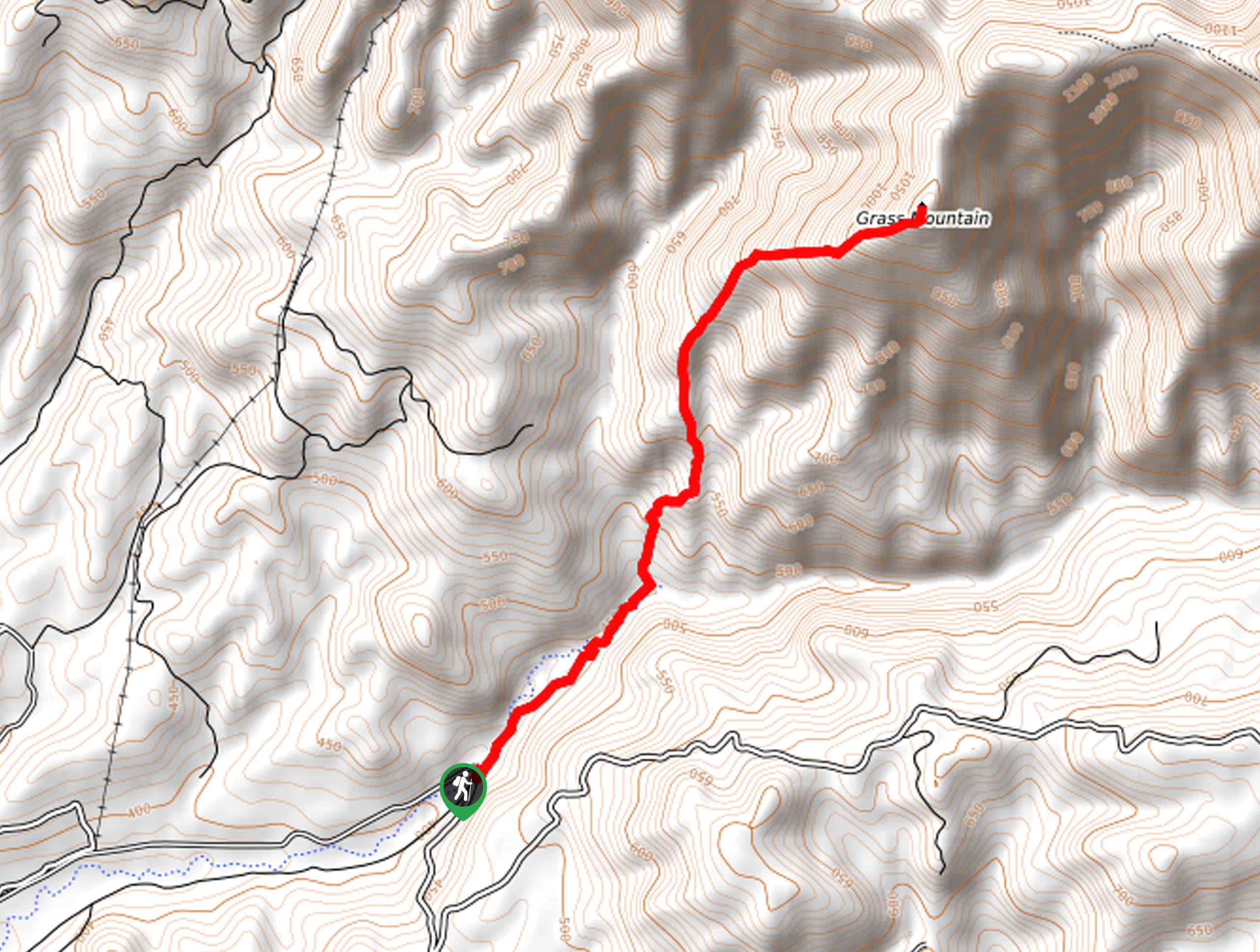
Grass Mountain Trail
The Grass Mountain Trail is an amazing adventure in the Los Padres National Forest that boasts commanding vistas of the…
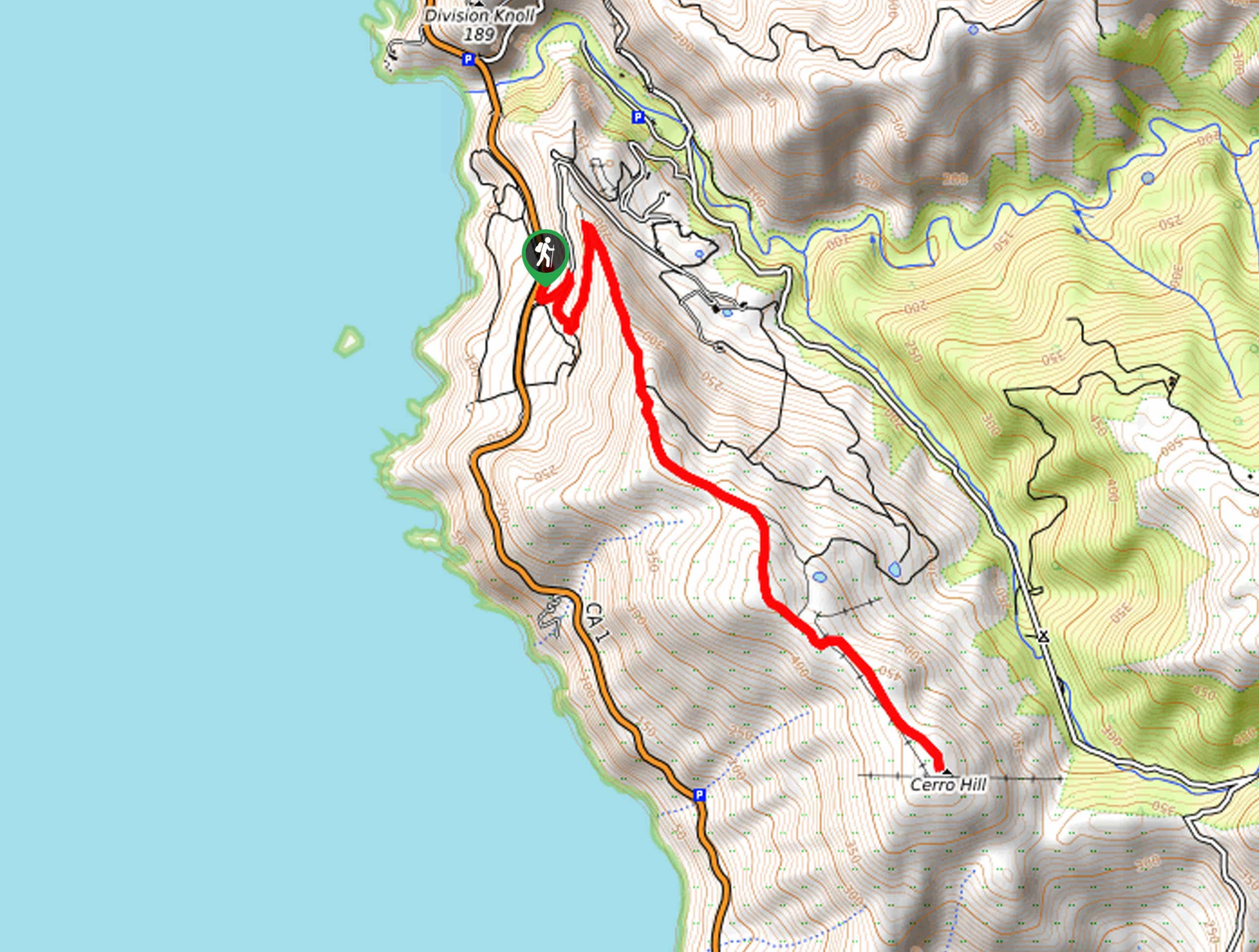
Brazil Ranch Trail
The Brazil Ranch Trail is an amazing adventure in the Los Padres National Forest that is sure to impress. Walk…



Comments