
Sisar Canyon Road Hike
View Photos
Sisar Canyon Road Hike
Difficulty Rating:
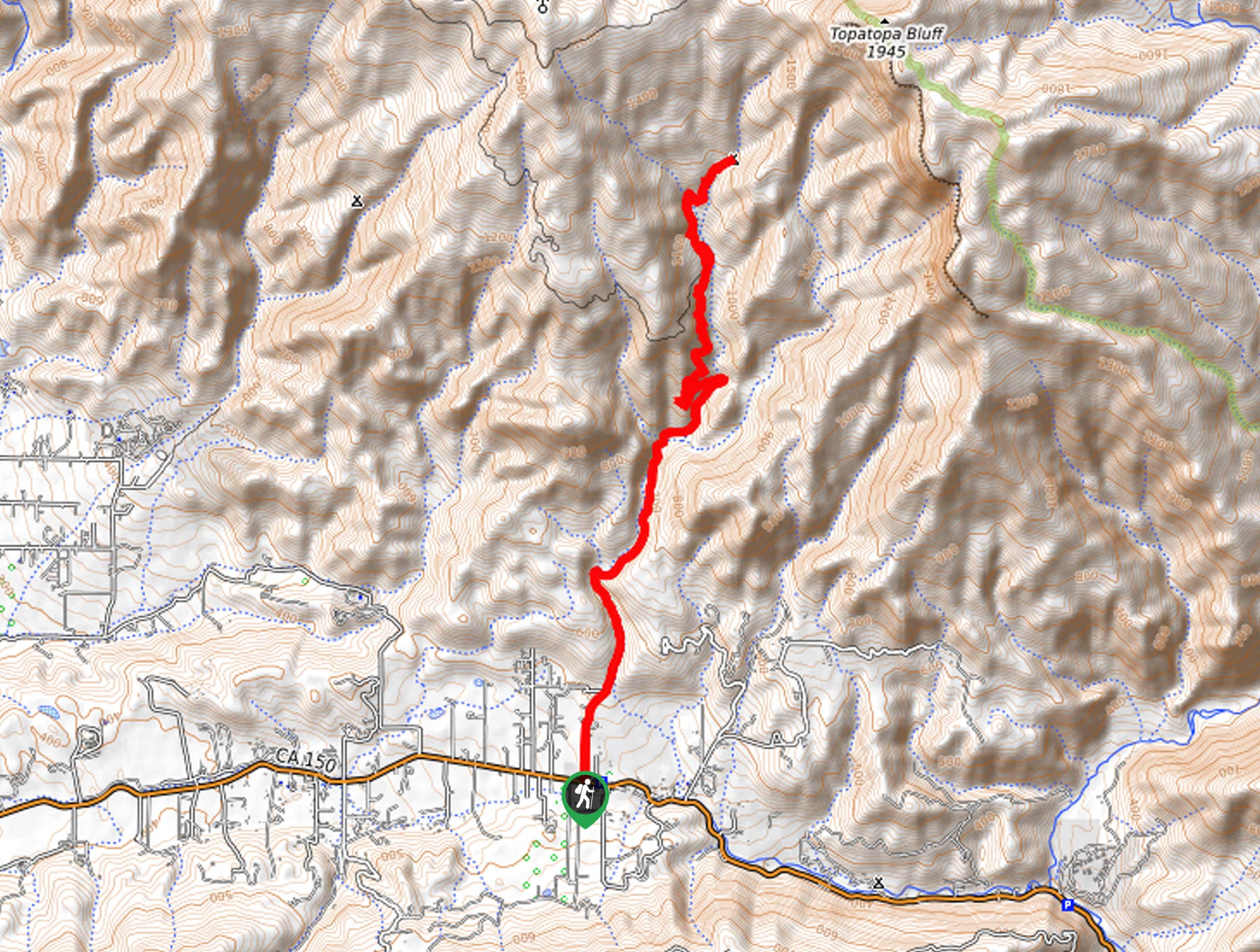
Leading adventurers along a well-maintained fire route, the Sisar Canyon Road Hike boasts a wonderful day of hiking. Easy to navigate and incredibly scenic, this trail attracts explorers of all sorts eager to indulge in the wonderful views of the Topatopa Ridge towering above and epic valley views below.
Getting there
The Sisar Canyon Road Hike departs from the parking lot off Ojai Santa Paula Road.

About
| Backcountry Campground | White Ledge Campground |
| When to do | Year-round |
| Pets allowed | Yes - On Leash |
| Family friendly | Older Children only |
| Route Signage | Average |
| Crowd Levels | Moderate |
| Route Type | Out and back |
Sisar Canyon Road Hike
Elevation Graph
Weather
Sisar Canyon Road Hike Description
The Sisar Canyon Road Hike makes for a great adventure. Conveniently located near Ojai, this route attracts plenty of adventurers year-round. Whether you are a hiker, biker, or runner, you can venture this amazing route. Note that much of the trail is exposed, so be sure to wear SPF and bring plenty of water. Additionally, this trek requires a few stream crossings—don’t wear your new white runners, and mind your footing if you attempt some boulder hopping!
When your camera is charged, and your shoes are laced, you’re all set to begin your adventure along the Sisar Canyon Road Hike. Setting out from the trailhead, follow the Sisar Canyon Road north through the shaded terrain before nearing Sisar Creek. Gradually climbing into the canyon, the path will become increasingly exposed. Mind your footing as you cross the gurgling creek, and be sure to revel in the sights of the Topatopa Ridge looming above. Continue hiking, navigating the winding terrain through wildflowers and chaparral.
You will ultimately reach the route’s end at the White Ledge Camping. Revel in the scene of the Topatopa Mountains in one direction and the valley in the other. After admiring the scene, retrace your footing down the path back to the trailhead.
Similar hikes to the Sisar Canyon Road Hike hike
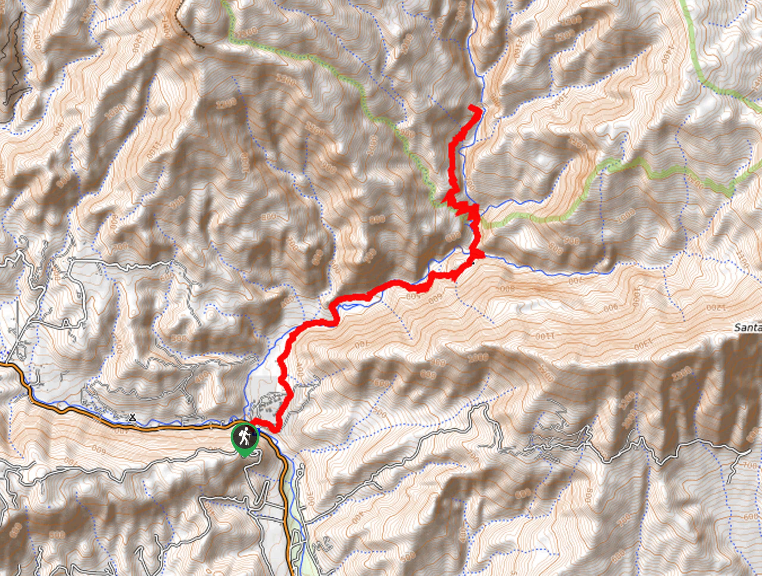
Last Chance Trail
The Last Chance Trail is an amazing adventure through the Santa Paula Canyon amongst the Topatopa Mountains. Indulge in the…
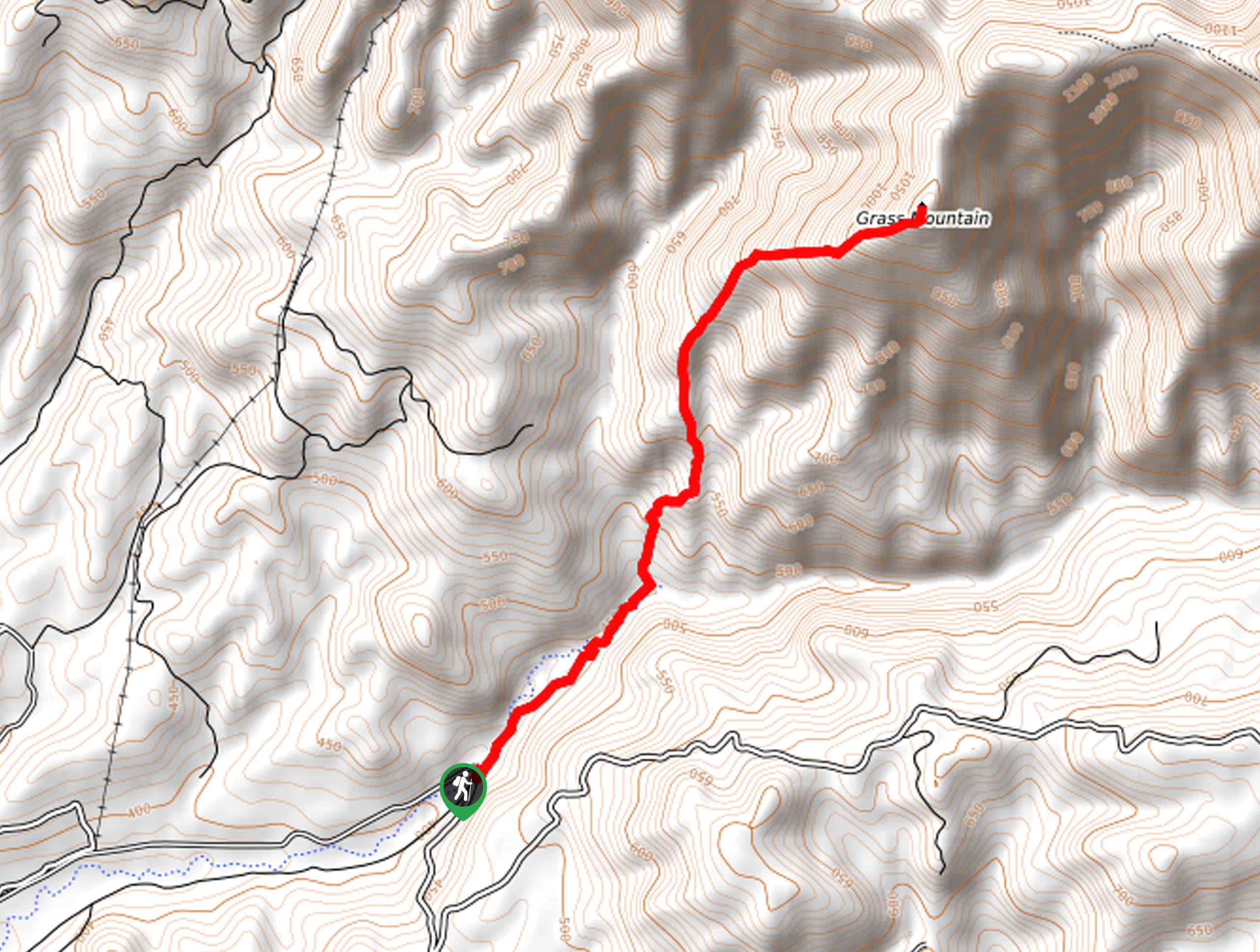
Grass Mountain Trail
The Grass Mountain Trail is an amazing adventure in the Los Padres National Forest that boasts commanding vistas of the…
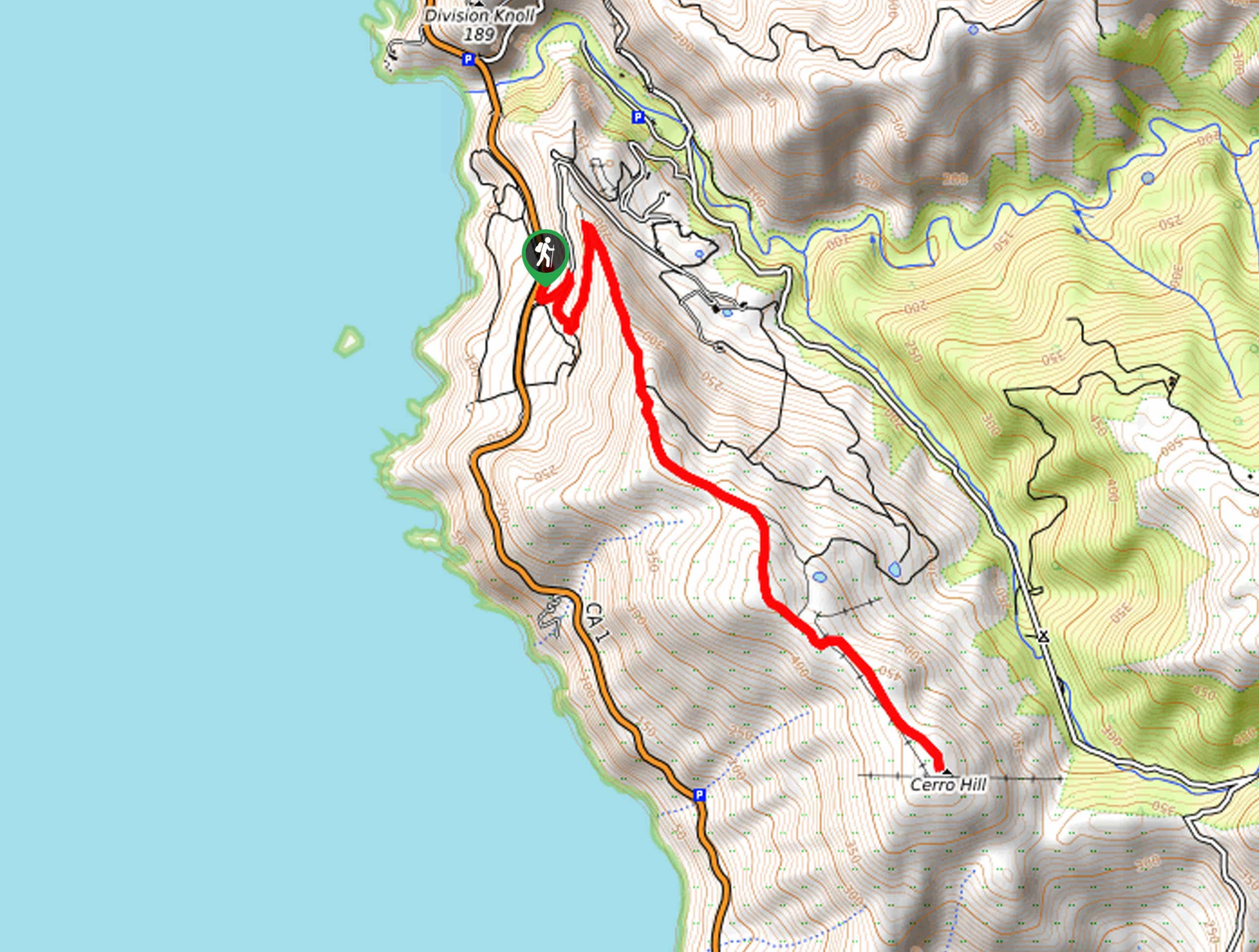
Brazil Ranch Trail
The Brazil Ranch Trail is an amazing adventure in the Los Padres National Forest that is sure to impress. Walk…
Comments