

Reyes Peak Trail
View PhotosReyes Peak Trail
Difficulty Rating:
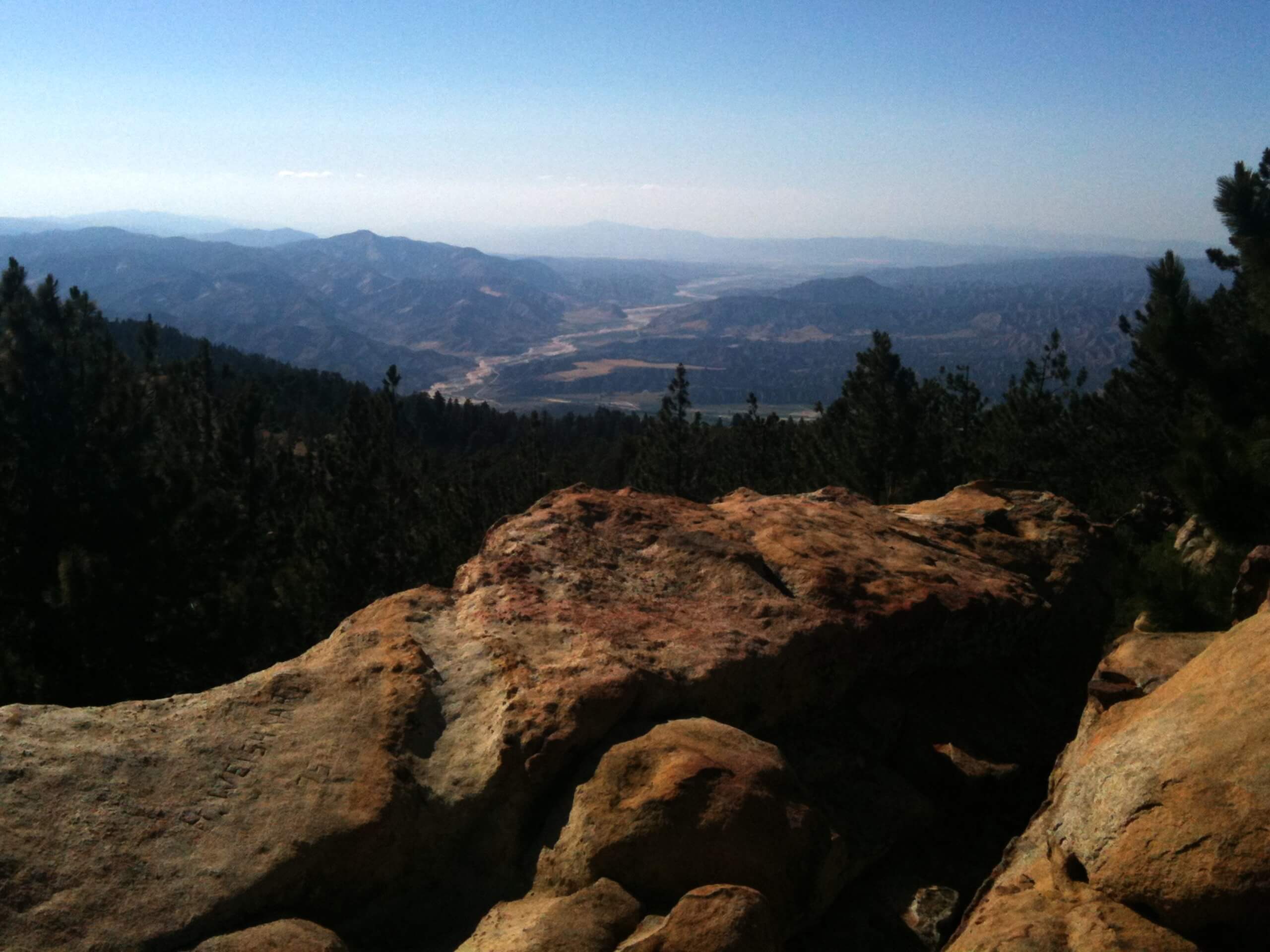
The Reyes Peak Trail is a fun family hike near Ojai, California that affords anyone a great time. This lovely nature trail travels to the summit of Reyes Peak, which offers incredible views of the Pacific Ocean and the Cuyama Badlands.
Getting there
The Reyes Peak Trail is accessed via the trailhead off Pine Mountain Ridge Road.
About
| Backcountry Campground | |
| When to do | Year-round |
| Pets allowed | Yes - On Leash |
| Family friendly | Yes |
| Route Signage | Average |
| Crowd Levels | Moderate |
| Route Type | Out and back |
Reyes Peak Trail
Elevation Graph
Weather
Reyes Peak Trail Description
The Reyes Peak Hike is a family-friendly adventure in the Los Padres National Forest that will not disappoint. This epic excursion up to the summit of Reyes Peak offers unrivaled views of the coastal Californian landscape. Hike through Douglas firs, chaparrals, and granite gardens up to the summit. The terrain is rocky and exposed, so plenty of water, SPF, and a pair of sturdy footwear is necessary. Note that the road to the trailhead is subject to seasonal closure.
The Reyes Peak Hike departs from the trailhead off Pine Mountain Ridge Road. From here, you will be guided east through tree stands and chaparral brush. Be mindful of your footing as you climb up the rocky ridge and you will soon reach the summit of Reyes Peak.
From atop the mountain, you will be granted 360-degree panoramas of the encompassing landscape. Admire the beauty of the mountainous terrain, the Pacific Ocean, and on a clear day—the Channel Islands.
Similar hikes to the Reyes Peak Trail hike

Brazil Ranch Trail
The Brazil Ranch Trail is an amazing adventure in the Los Padres National Forest that is sure to impress. Walk…

Tequepis Trail
Challenge yourself along the Tequepis Trail. This demanding adventure in the Los Padres National Forest rewards hikers for their efforts…

Spyglass Ridge Road Hike
The Spyglass Ridge Road Hike would make a wonderful addition to an experienced hiker’s adventure itinerary. Demanding the navigation of…


Comments