

Red Rock Loop Trail
View PhotosRed Rock Loop Trail
Difficulty Rating:
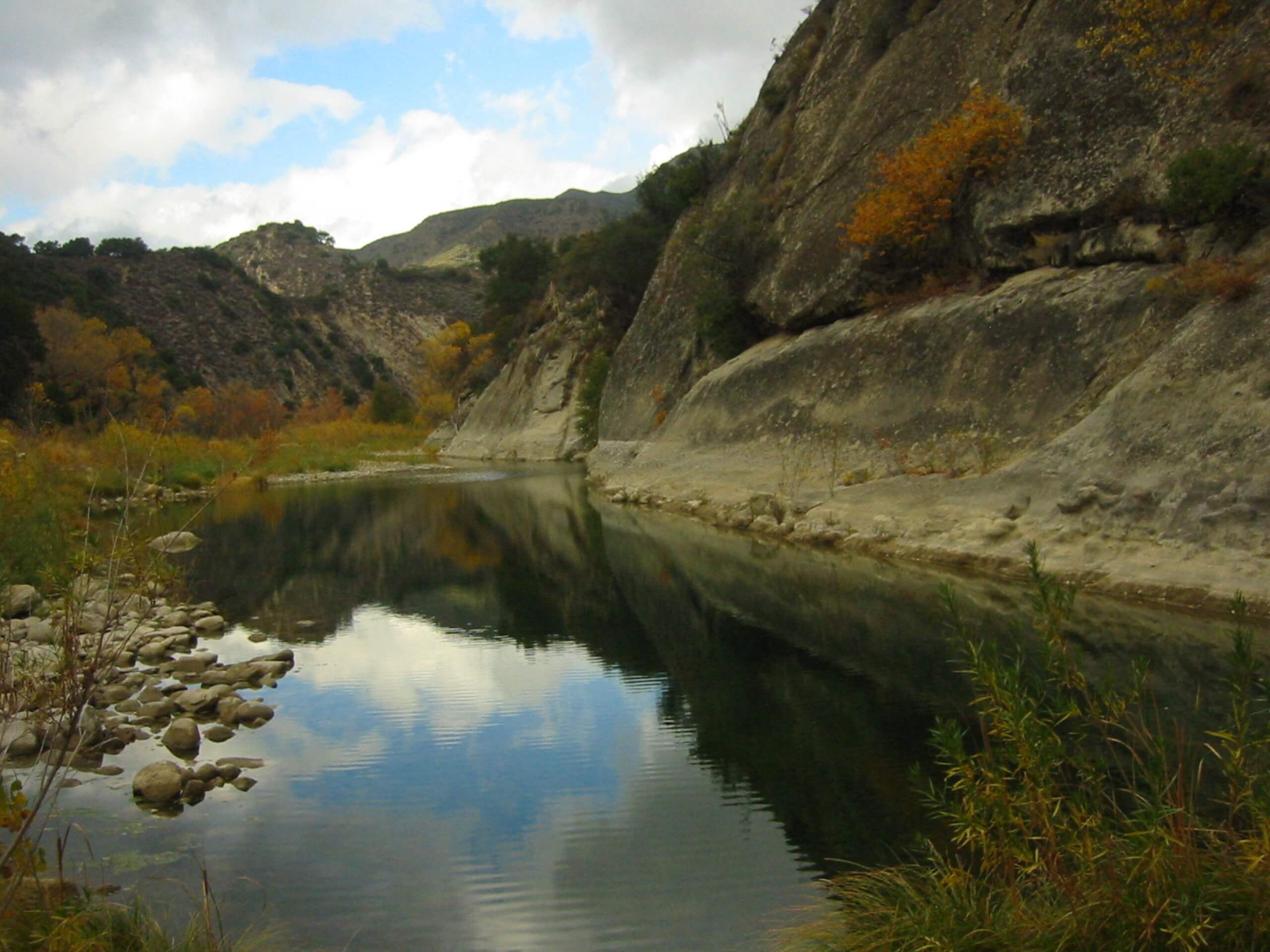
The Red Rock Loop Trail is a wonderful trail in the Los Padres National Forest that travels through unique rock formations known as the Red Rocks to the Gibraltar Reservoir. Enjoy the scene of the dramatic Santa Ynez Mountains as you explore and indulge in the beautiful landscape.
Getting there
Access this route from the Forest Route 5N18 trailhead off Paradise Road.
About
| Backcountry Campground | No |
| When to do | Year-round |
| Pets allowed | Yes - On Leash |
| Family friendly | Yes |
| Route Signage | Average |
| Crowd Levels | Moderate |
| Route Type | Lollipop |
Red Rock Loop Trail
Elevation Graph
Weather
Red Rock Loop Trail Description
Seeking a scenic, family-friendly, versatile adventure near Santa Barbara? Well, this route boasts incredible scenery of the Santa Ynez Mountains as it travels through a canyon bound by unique geological features and the meandering Santa Ynez River. Offering epic views, the exposed terrain warrants unbearably warm conditions, so head out in the early morning to beat the heat or wear SPF and pack plenty of water. Note that the trailhead charges a parking fee of $10USD.
Embark on your adventure along the Red Rock Loop Trail from the Forest Route 5N18 Trailhead. From here, follow Forest Route 5N18 through the woodlands. This route will guide you up a steep ridge that boasts wonderful views of the encompassing mountains from the tree breaks. Eventually, the path will descend down to the Gibraltar Reservoir and Dam. Admire the beauty of the shimmering reservoir bound by the mountains of Santa Ynez before retracing your steps to an intersection with the Red Rock Trail.
Veer right here and wander the Red Rock Trail through the unique geological features and along the Santa Ynez River. You will ultimately reach your adventure’s end when you are delivered back to the trailhead.
Similar hikes to the Red Rock Loop Trail hike

Brazil Ranch Trail
The Brazil Ranch Trail is an amazing adventure in the Los Padres National Forest that is sure to impress. Walk…

Tequepis Trail
Challenge yourself along the Tequepis Trail. This demanding adventure in the Los Padres National Forest rewards hikers for their efforts…

Spyglass Ridge Road Hike
The Spyglass Ridge Road Hike would make a wonderful addition to an experienced hiker’s adventure itinerary. Demanding the navigation of…


Comments