

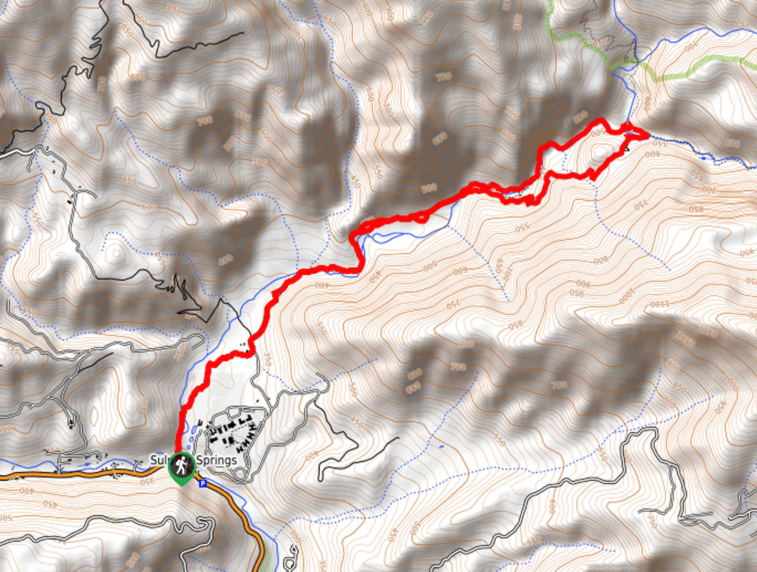
Punch Bowls Trail
View PhotosPunch Bowls Trail
Difficulty Rating:
The Punch Bowls Hike is one of the most popular trails in Ventura County—and rightfully so. Explore the shaded valley of the Santa Paula Creek and cool off in one of the many, idyllic swimming holes along the way. This wonderfully scenic hike is a must add to your adventure to-do list.
Getting there
The Punch Bowls Hike is accessed via the East Fork Trailhead off Ojai Road.
About
| Backcountry Campground | Big Cone Camp |
| When to do | Year-round |
| Pets allowed | Yes - On Leash |
| Family friendly | Older Children only |
| Route Signage | Average |
| Crowd Levels | Extreme |
| Route Type | Lollipop |
Punch Bowls Trail
Elevation Graph
Weather
Punch Bowls Trail Description
Explore the Santa Paula Canyon adorned with inviting pools and mesmerizing cascades along the Punch Bowls Trail. The crowds that flock to the area are a testament to its beauty. Though well-revered, this route lacks proper signposts in sections, so we suggest downloading the trail GPS before departure. Additionally, much of the route travels through forestlands and high brush—so it is important to be wary of poison oak! Wear long pants if you are nervous about exposure!
Setting out from the East Fork Trailhead, the Punch Bowls Hike travels north along the East Fork Trail. Wandering north, the path will gradually climb into a meadow before escaping into the shaded canyon of Santa Paula. Enjoy the scene of the nearby craggy peaks of the Santa Ynez Mountains as the chaparral bushes that hem the footpath. Following the route along the picturesque creek, you will eventually confront an intersection; veer left onto the Punch Bowls Trail. As you hike, you will understand how the trail got its name as you pass several inviting, punchbowl-shaped swimming holes fed by beautiful cascades.
Wander around the loop, and at the following junction, turn right, and you will reconnect with the East Fork Trail. Now tracking southwestward, you will pass the Big Cone Camp before descending into the Santa Paula Canyon. At this point, you will simply retrace your steps along the East Fork Trail back to the trailhead and car park.
Similar hikes to the Punch Bowls Trail hike
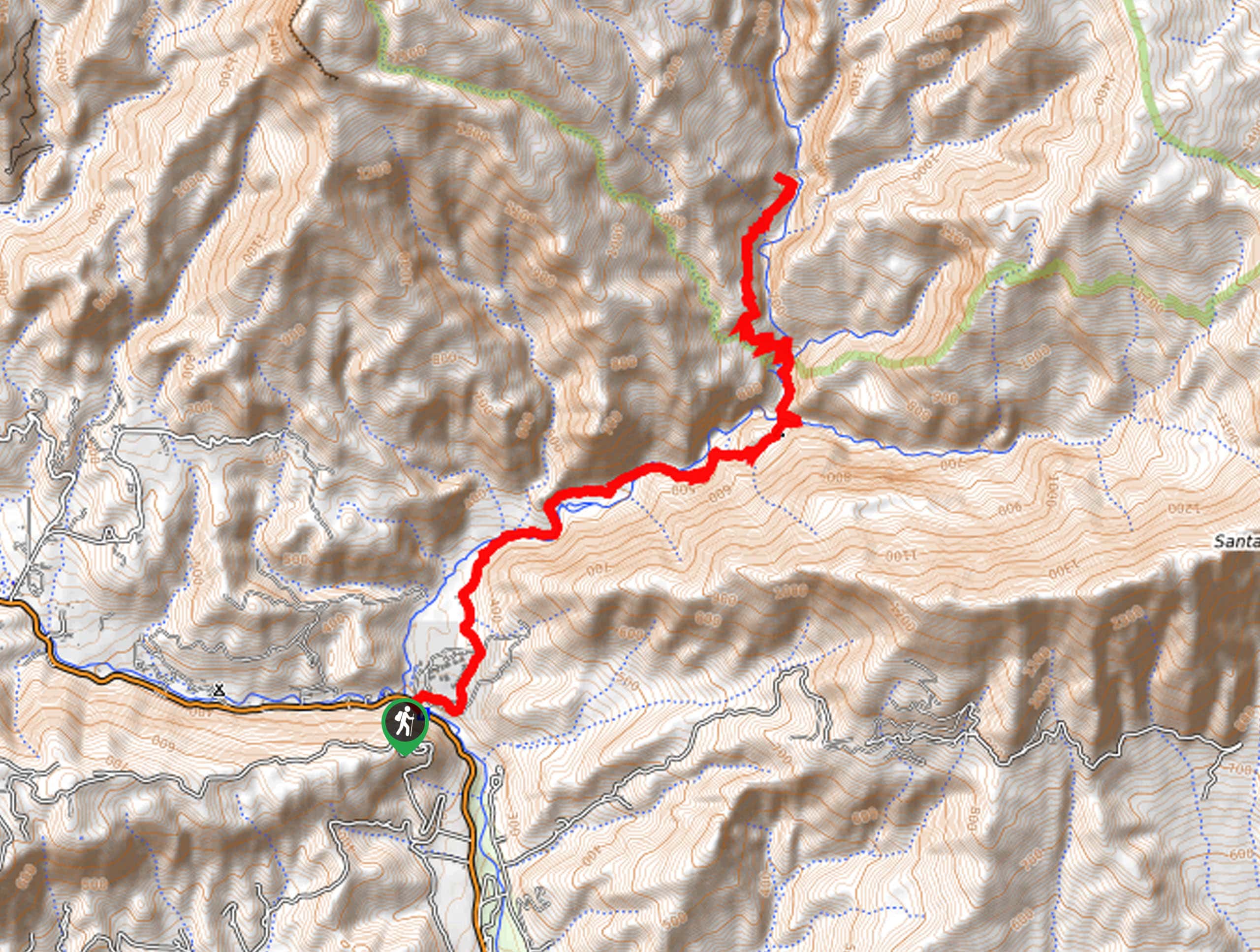
Last Chance Trail
The Last Chance Trail is an amazing adventure through the Santa Paula Canyon amongst the Topatopa Mountains. Indulge in the…
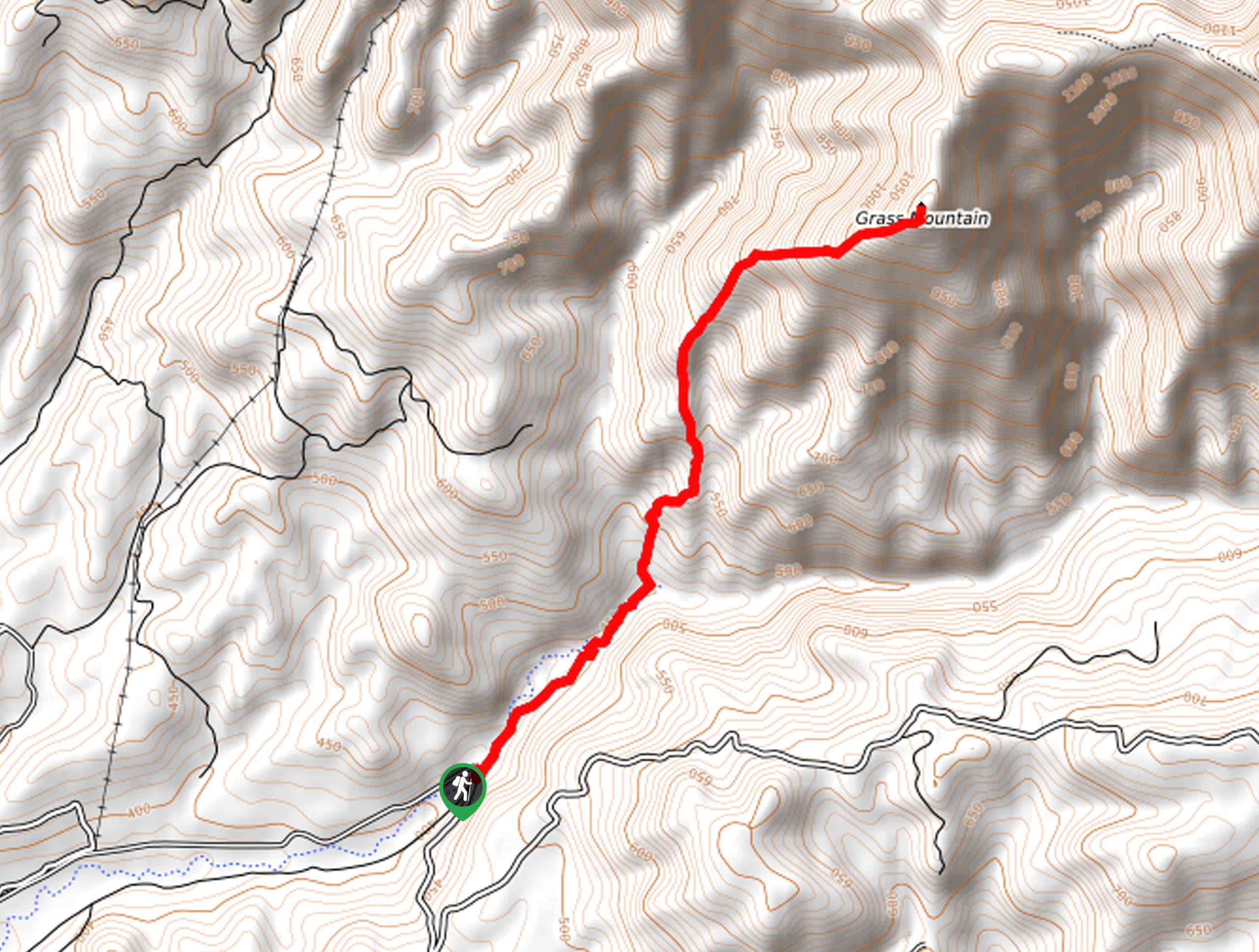
Grass Mountain Trail
The Grass Mountain Trail is an amazing adventure in the Los Padres National Forest that boasts commanding vistas of the…
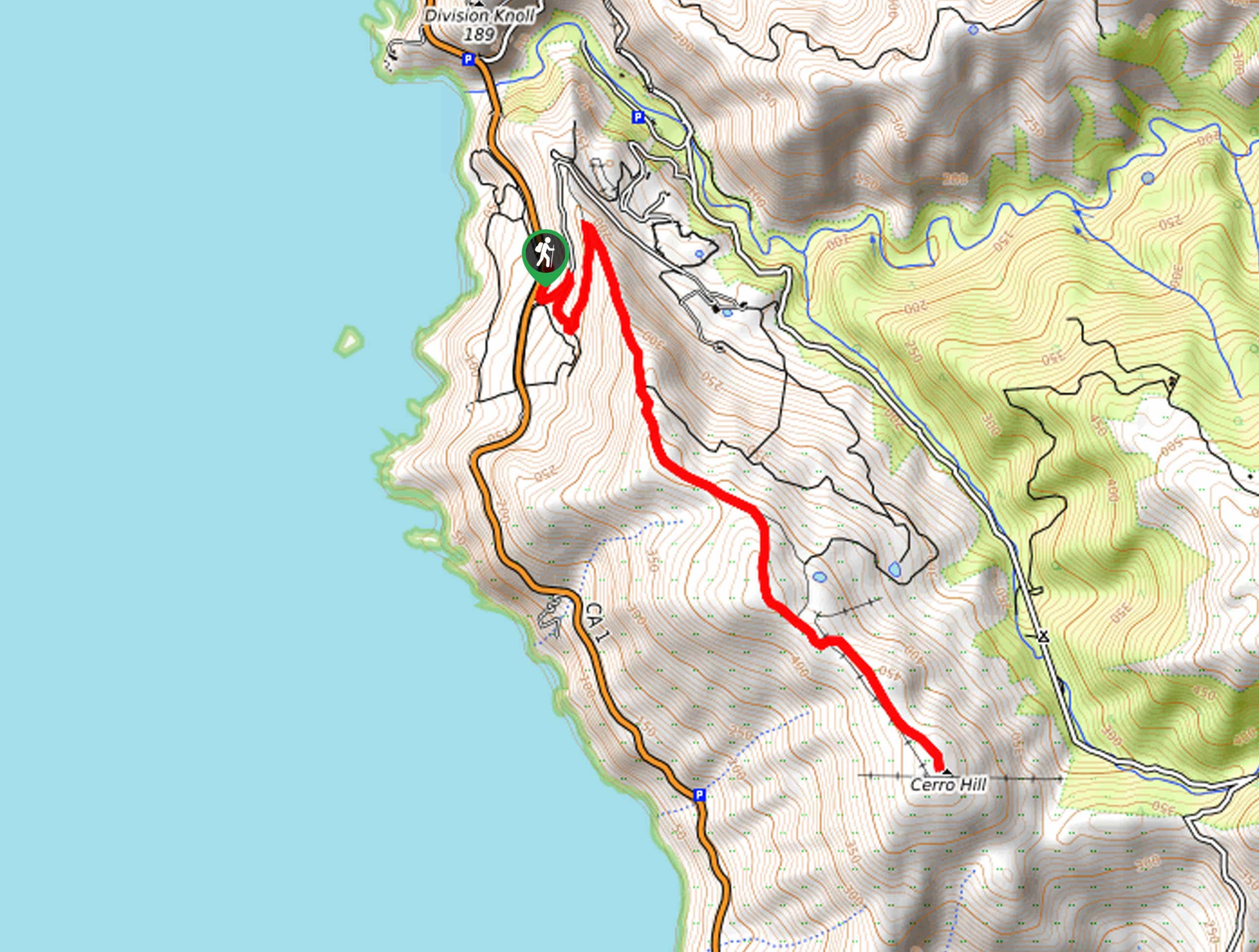
Brazil Ranch Trail
The Brazil Ranch Trail is an amazing adventure in the Los Padres National Forest that is sure to impress. Walk…



Comments