
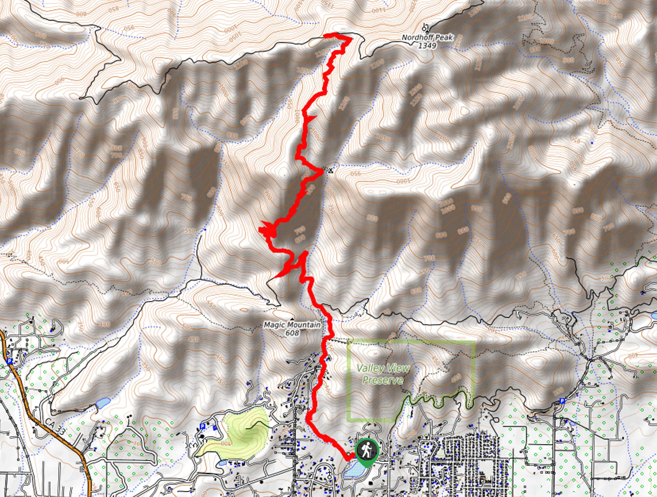
Pratt Trail
View Photos
Pratt Trail
Difficulty Rating:
The Pratt Trail is an incredible adventure in the Los Padres National Forest that travels through incredibly scenic terrain, boasting awe-inspiring views of the Ojai Valley and encompassing Topatopa Mountains.
Getting there
Access this adventure via the trailhead off N Signal Street.

About
| Backcountry Campground | No |
| When to do | Year-round |
| Pets allowed | Yes - On Leash |
| Family friendly | No |
| Route Signage | Average |
| Crowd Levels | High |
| Route Type | Out and back |
Pratt Trail
Elevation Graph
Weather
Pratt Trail Description
This route makes for an amazing day of hiking. Wander through dense communities of chaparral shrubs, redwood tree stands, and meadows abundant with vibrant wildflowers. This incredibly scenic adventure travels along an exposed path, so make sure you head out early to beat the heat or layer on the SPF and wear a sunhat when heading out in the afternoon. Note the terrain is also uneven and rocky, so a sturdy pair of footwear will make a world of difference.
Setting out from the trailhead, the Pratt Trail travels northwardly along a meandering stream into the foothills. Gradually climbing, the path will pass through a more residential area before escaping into the wilderness. Eventually, you will pass Magic Mountain—beyond this point; you will be guided up several switchbacks through wildflower meadows and chaparral brush. The further you ascend into the Topatopa Mountains, the better the views will be!
Ultimately you will reach the trail’s end at Nordhoff Ridge Road. Here you will notice the fire lookout tower. Admire the impressive views of Ojai and the neighboring Topatopa Mountains from here. After reveling in the scenery, retrace your footing back down the path to the trailhead.
Similar hikes to the Pratt Trail hike
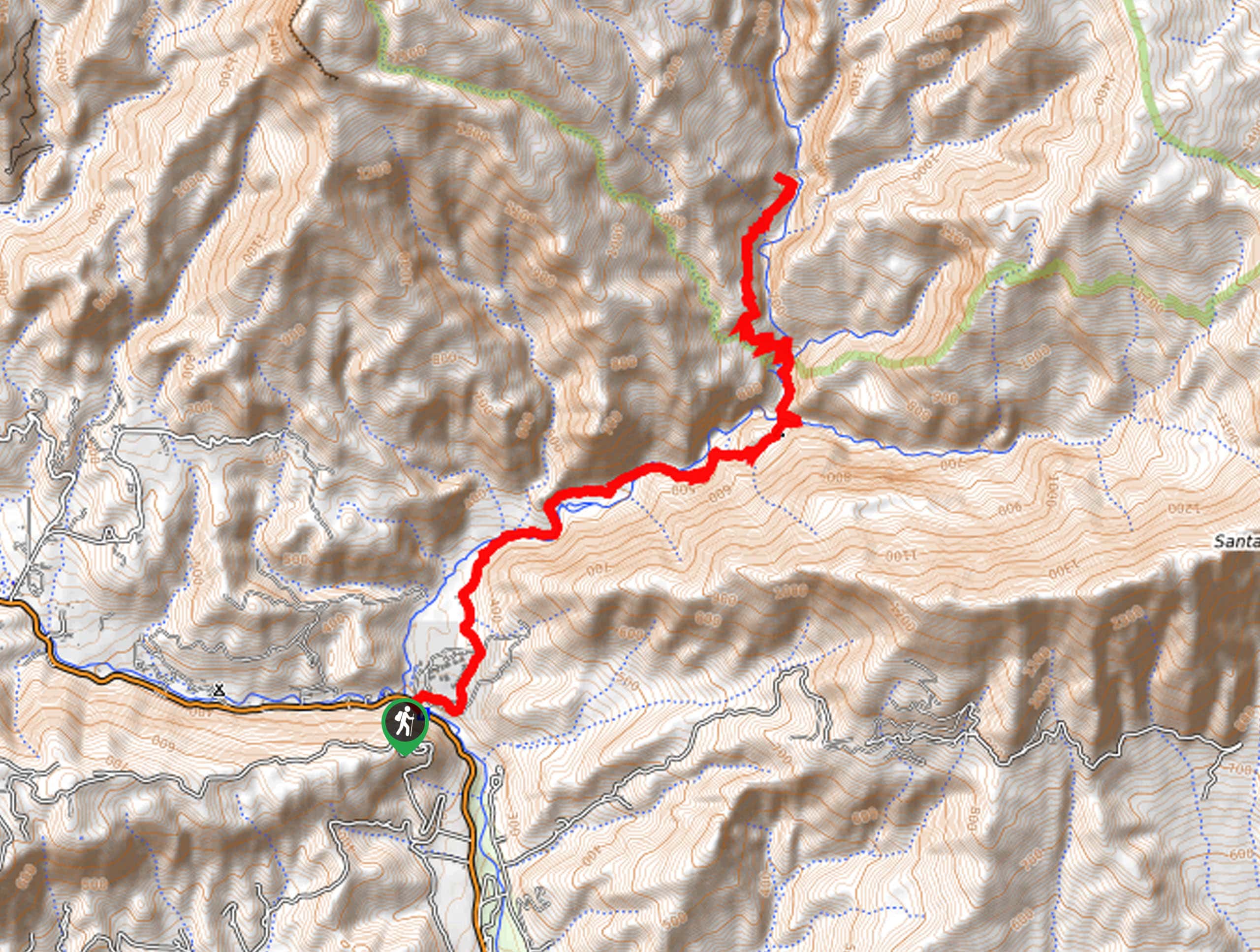
Last Chance Trail
The Last Chance Trail is an amazing adventure through the Santa Paula Canyon amongst the Topatopa Mountains. Indulge in the…
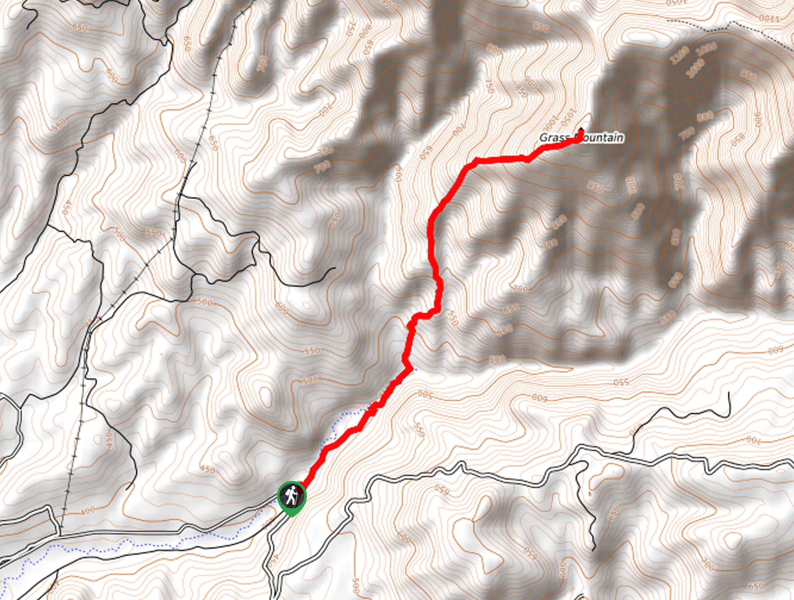
Grass Mountain Trail
The Grass Mountain Trail is an amazing adventure in the Los Padres National Forest that boasts commanding vistas of the…
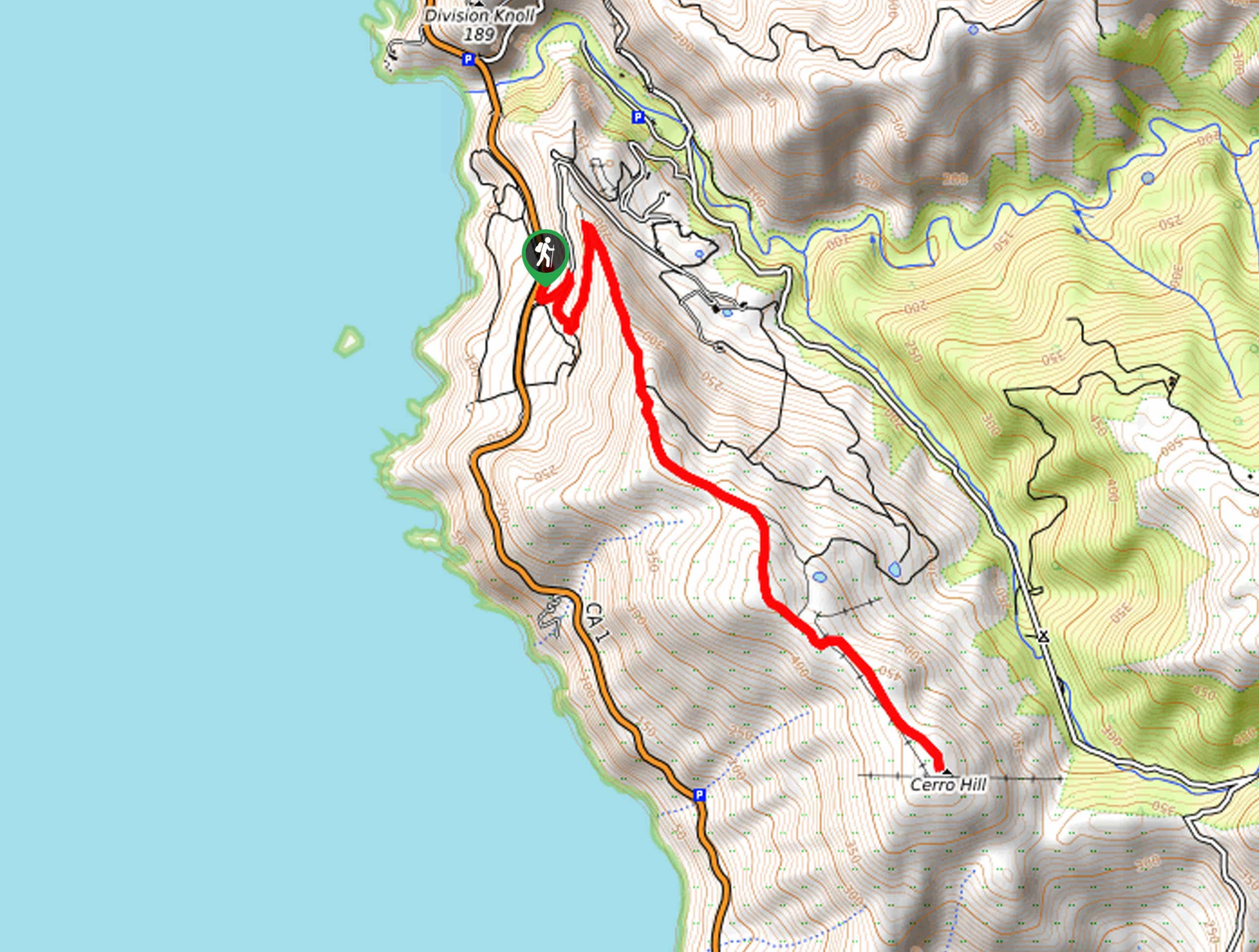
Brazil Ranch Trail
The Brazil Ranch Trail is an amazing adventure in the Los Padres National Forest that is sure to impress. Walk…
Comments