
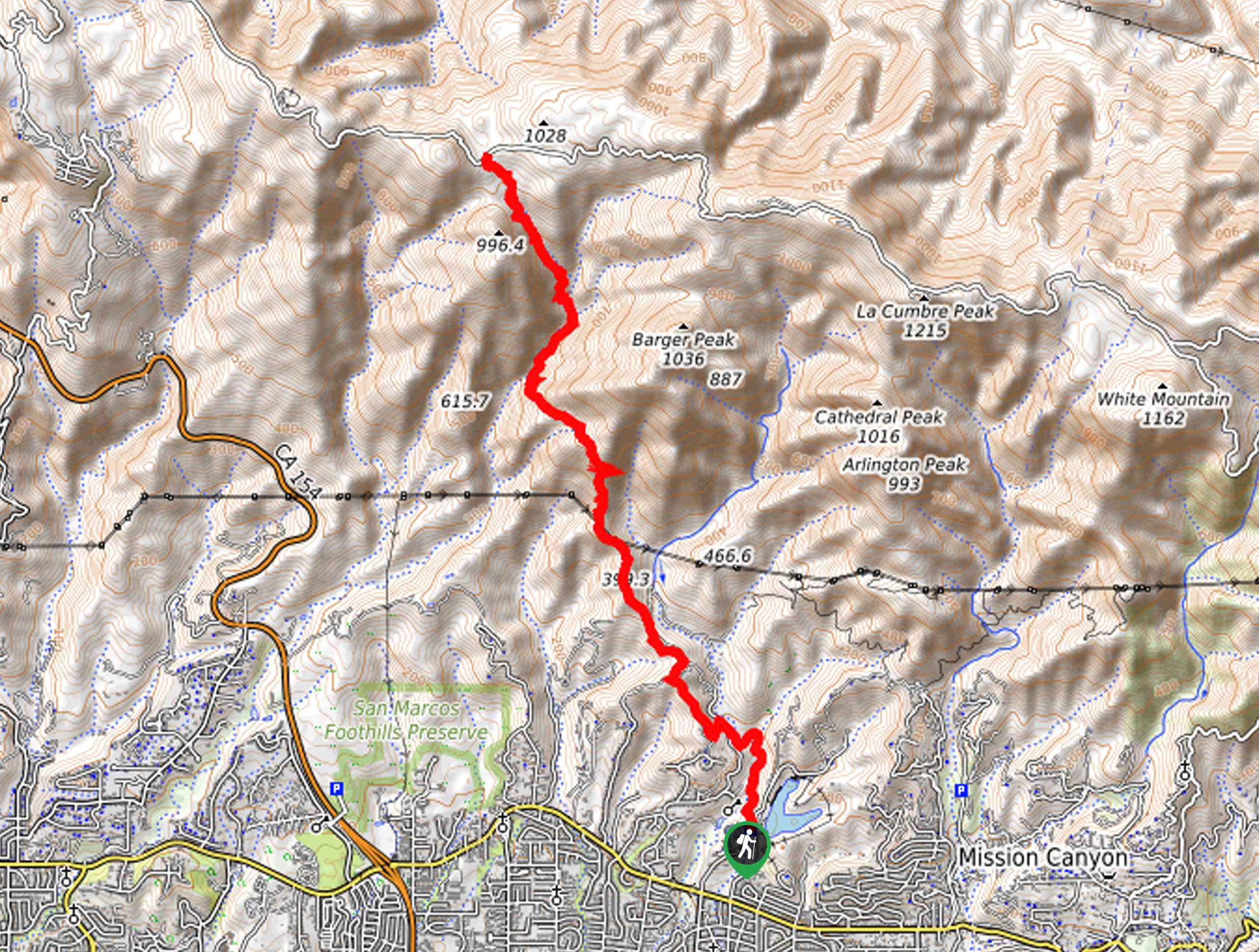
Arroyo Burro Trail
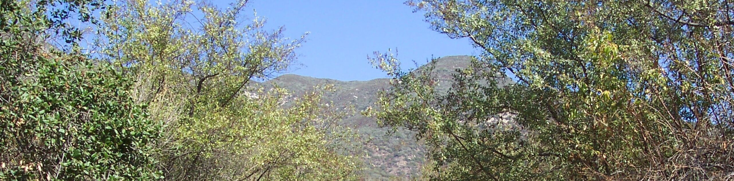
View Photos
Arroyo Burro Trail
Difficulty Rating:
Seeking a challenging adventure near Santa Barbara? The Arroyo Burro Trail is a high-demand, high-reward type of hike in the Los Padres National Forest that boasts unrivaled views of the Mission Crags, Santa Barbara, and the Pacific.
Getting there
The Arroyo Burro Hike departs from Jesusita Trailhead off San Roque Road.

About
| Backcountry Campground | No |
| When to do | Year-round |
| Pets allowed | Yes - On Leash |
| Family friendly | No |
| Route Signage | Average |
| Crowd Levels | Moderate |
| Route Type | Out and back |
Arroyo Burro Trail
Elevation Graph
Weather
Arroyo Burro Trail Description
The Arroyo Burro Trail is an excellent addition to intrepid adventurers hiking itineraries. Tackle technical terrain, maneuver stream crossings and indulge in the wonderful scenery. Reserved for experienced hikers, this route ascents vertiginous, rocky terrain demanding endurance and a pair of comfy footwear! Additionally, much of the trail is exposed, so be sure to pack plenty of water and wear SPF. Though not necessary, the trail GPS may prove useful when navigating overgrown sections of the trail. Note there is poison oak along this route—some wear long pants to avoid exposure.
Embark on your adventure along the Arroyo Burro Hike from the Jesusita Trailhead. From here, follow the Jesusita Trail north, diverting left onto the Arroyo Burro Trail at the next junction. Follow this path northwest, gradually climbing through tree stands and exposed meadows abundant with wildflowers in the summer months. Eventually, the route will wind along the mountainside of Barger Peak before dipping down into a creek canyon. Beyond this point, the trail will intensely climb via switchbacks to E Camino Cielo Road.
From here, you will be rewarded with awe-inspiring vistas of the neighboring mountains and Santa Barbara below. On a clear day, you will also be granted views of the Channel Islands in the Pacific. After reveling in the scenery, retrace your footing back down to the trailhead.
Similar hikes to the Arroyo Burro Trail hike
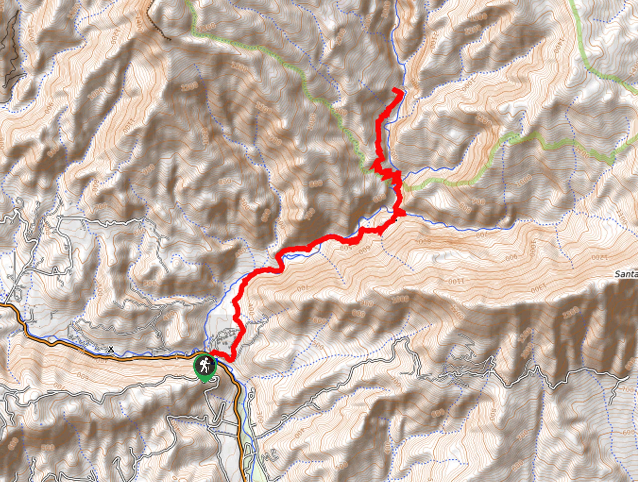
Last Chance Trail
The Last Chance Trail is an amazing adventure through the Santa Paula Canyon amongst the Topatopa Mountains. Indulge in the…
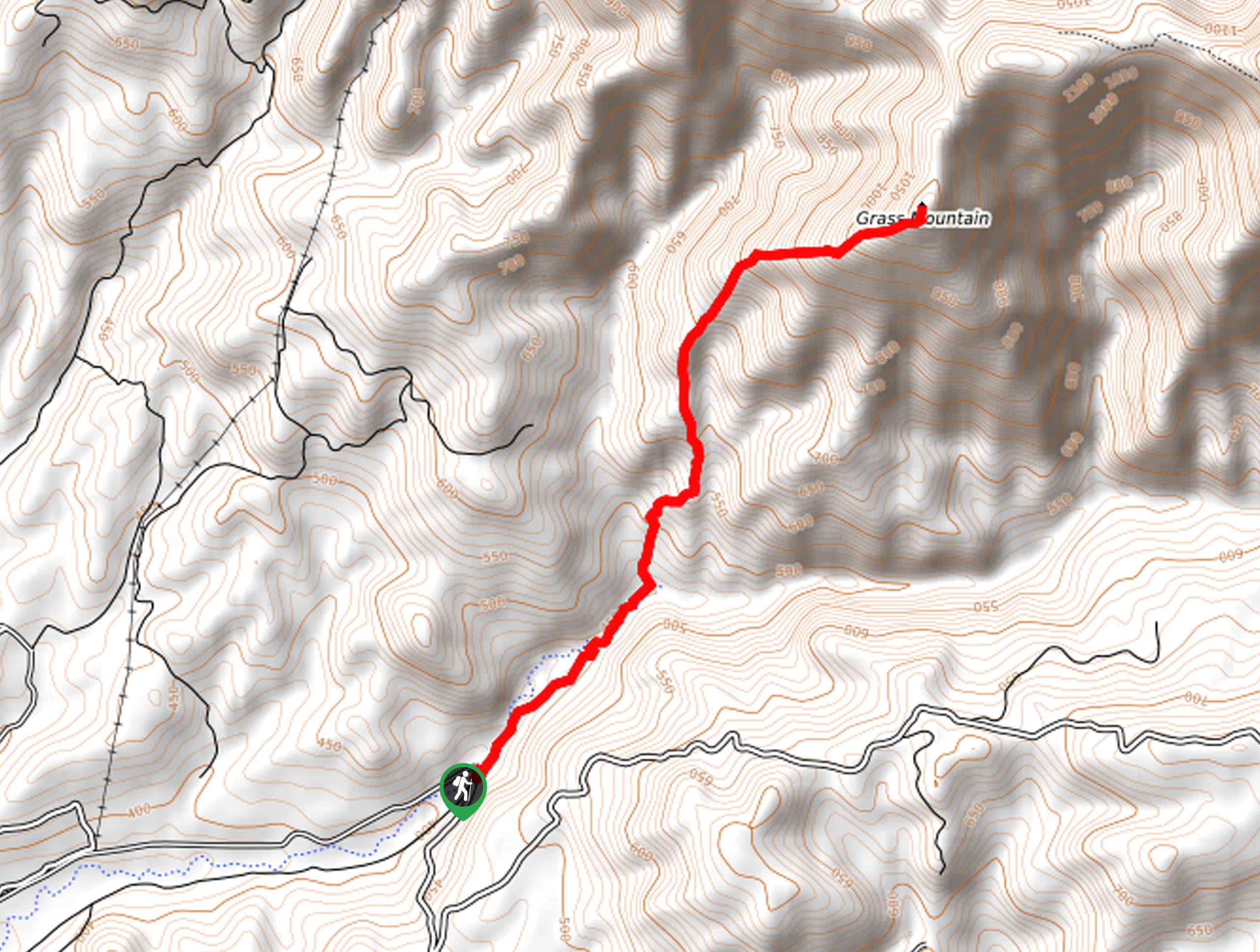
Grass Mountain Trail
The Grass Mountain Trail is an amazing adventure in the Los Padres National Forest that boasts commanding vistas of the…
Gridley Trail
The Gridley Trail is an amazing nature trail in the Los Padres National Forest reserved for experienced hikers and intrepid…
Comments