Harrison Stickle Walk
View Photos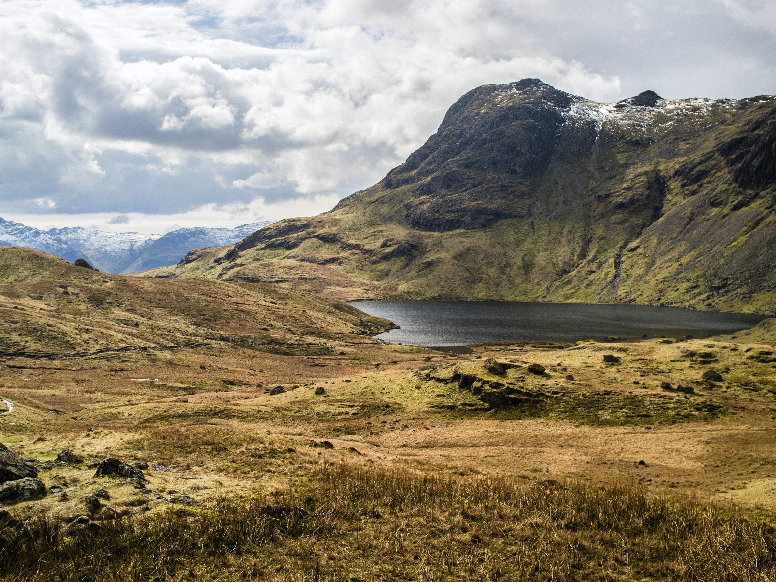
Harrison Stickle Walk
Difficulty Rating:
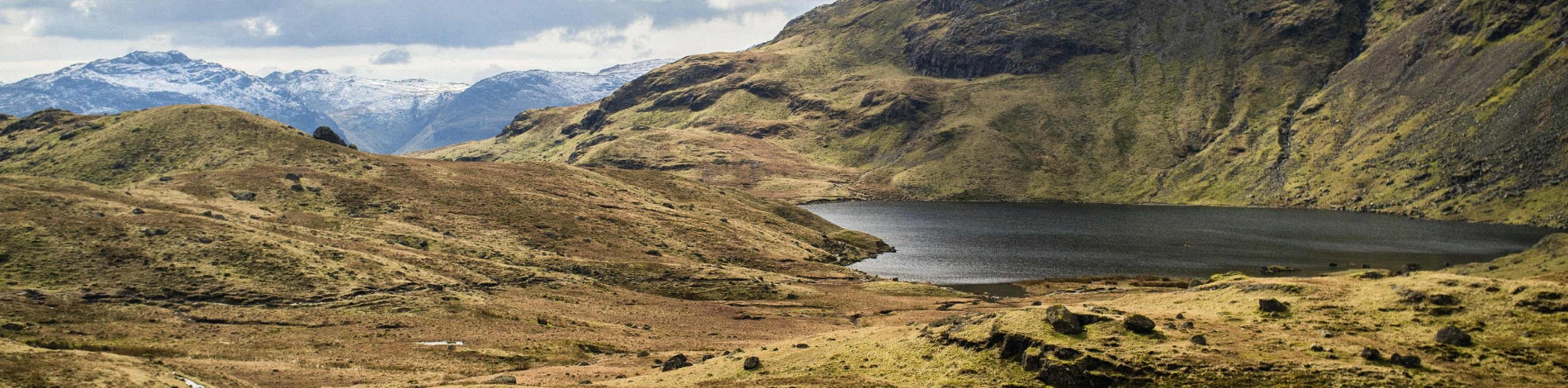
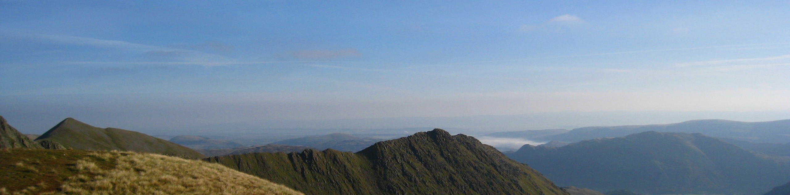
The Harrison Stickle Walk is a tough uphill journey that will see you traverse several peaks known as the Langdale Pikes. While walking along this elevated position, you will enjoy some spectacular views across the undulating terrain of the Lake District, including Great Langdale Valley and Windermere off in the distance. The trail may be steep and rugged in some places, but exploring the Langdale Pikes is an extremely popular activity in the Lake District and should be sought out if you find yourself wandering the area.
Getting there
To reach the trailhead for the Harrison Stickle Walk from Skelwith Bridge, head west along the B5343 for 4.2mi and make a right turn. Over the next 350ft, you will find several options for parking near the trailhead.

About
| When to do | March-October |
| Backcountry Campsites | No |
| Pets allowed | Yes - On Leash |
| Family friendly | No |
| Route Signage | Average |
| Crowd Levels | High |
| Route Type | Lollipop |
Harrison Stickle Walk
Elevation Graph
Weather
Harrison Stickle Walk Description
The Harrison Stickle Walk is a challenging adventure due to the steep, rugged, and rocky terrain that you will experience while traversing the Langdale Pikes. To better traverse this rough route, be sure to wear sturdy walking boots and bring poles for stability on the uneven terrain. Additionally, the upper portions of the trail are fairly exposed to the elements, so pay close attention to weather patterns and plan ahead for all eventualities. Although the trail may be tough, it is also extremely scenic and will provide you with breathtaking views of the surrounding area.
Setting out from the trailhead next to Sticklebarn, make your way to the northwest as the trail begins to climb uphill along Stickle Ghyll. Once you have reached Stickle Tarn, make your way around the eastern edge of the water and continue climbing uphill, following the trail as it bends west to traverse Pavey Ark. From here, you will traverse the Thunacar Knott before turning towards the south to make your way over the rugged terrain of Harrison Stickle. After taking in the breathtaking views across the Great Langdale Valley, you will descend the hillside to the southeast, making your way down past the rushing waters of Dungeon Ghyll Waterfall before arriving back at the trailhead where you began your journey. Feel free to pop into Sticklebarn for some post-walk refreshments before heading home.
Similar hikes to the Harrison Stickle Walk hike
Nethermost Pike via East Ridge Walk
Walking to Nethermost Pike via East Ridge is a tough climb up several rugged fells that will expose you to…

Hawkshead, Wray Castle, and Windermere Walk
The Hawkshead, Wray Castle, and Windermere Walk is a fantastic journey that will lead you through some picturesque locations that…

Pike of Blisco and Crinkle Crags Walk
The Pike of Blisco and Crinkle Crags Trail is a challenging adventure that will see you climb several rugged peaks…
Comments