Eagle Crag and Ullscarf Walk
View Photos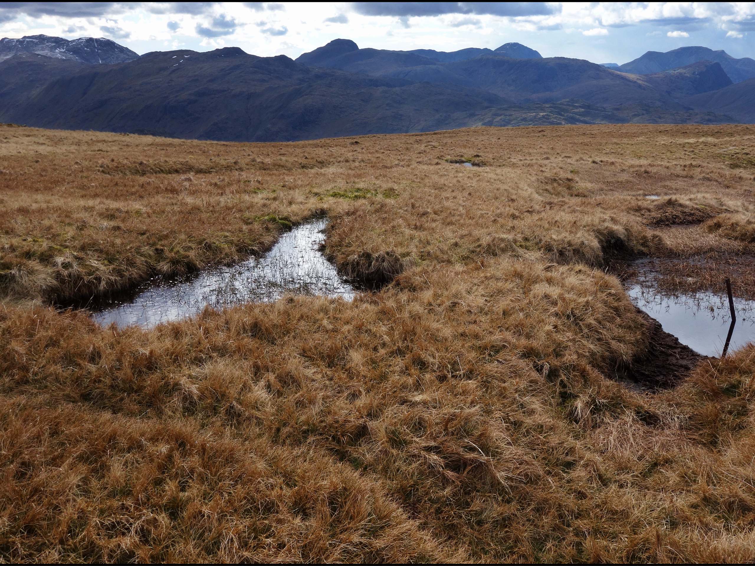
Eagle Crag and Ullscarf Walk
Difficulty Rating:
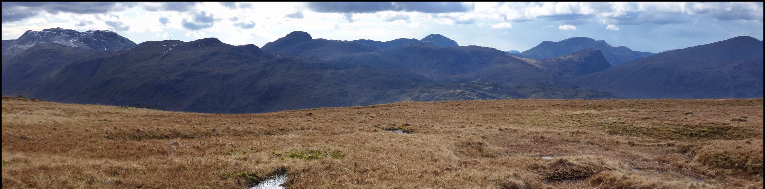
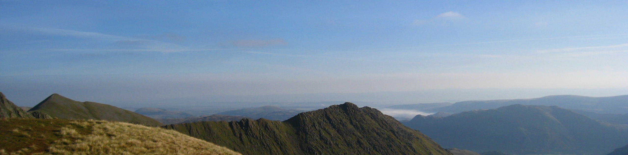
The Eagle Crag and Ullscarf Walk is a tough yet rewarding journey through some rough and rugged Lake District terrain. While out on the trail, you will make your way through the valley alongside Stonethwaite Beck and climb uphill to traverse the summits of Eagle Crag, Sergeant’s Crag, and Ullscarf, passing by several tarns on the way back to the starting point of the walk. This lengthy adventure is geared more towards experienced walkers, but if you can handle the rough terrain, you will be rewarded with spectacular views.
Getting there
To reach the trailhead for the Eagle Crag and Ullscarf Walk from Keswick, head to the southeast for 6.1mi on Borrowdale Road/B5289 and turn right. Continue on for 0.2mi and make a left to arrive at the parking area.

About
| When to do | March-October |
| Backcountry Campsites | Chapel House Farm Campsite, National Trust Campsite |
| Pets allowed | Yes - On Leash |
| Family friendly | No |
| Route Signage | Average |
| Crowd Levels | Moderate |
| Route Type | Lollipop |
Eagle Crag and Ullscarf Walk
Elevation Graph
Weather
Eagle Crag and Ullscarf Walk Description
Due to the variety of terrain, longer distance, and ultra-scenic vistas, the Eagle Crag and Ullscarf Walk is a popular excursion with seasoned walkers and casuals looking for a more challenging route. Beginning at the YHA Borrowdale, the trail will take you across the River Derwent and turn to the southeast, following closely alongside Stonethwaite Beck as it winds through the valley floor. Eventually, the trail will turn more to the south and begin the steep climb up to the summit of Eagle Crag, where you will enjoy some nice views over the valley that you just passed through. From here, you will continue along the ridge to the south and traverse the summit of Sergeant’s Crag before turning to the north on the ascent of Ullscarf. After making your way across the rugged peak of the mountain, follow the trail downhill to skirt around the shores of Blea Tarn and continue north to eventually arrive in the village of Watendlath. Here, you can grab a cup of tea at the Caffle House Tearooms before following the trail west around the shores of Watendlath Tarn on the return leg of the walk back to the car park.
Similar hikes to the Eagle Crag and Ullscarf Walk hike
Nethermost Pike via East Ridge Walk
Walking to Nethermost Pike via East Ridge is a tough climb up several rugged fells that will expose you to…

Hawkshead, Wray Castle, and Windermere Walk
The Hawkshead, Wray Castle, and Windermere Walk is a fantastic journey that will lead you through some picturesque locations that…
Nether Wasdale and Wastwater Walk
The Nether Wasdale and Wastwater Walk is a fairly relaxing stroll through a variety of Lake District terrain that will…
Comments