Brantwood to Coniston Walk
View Photos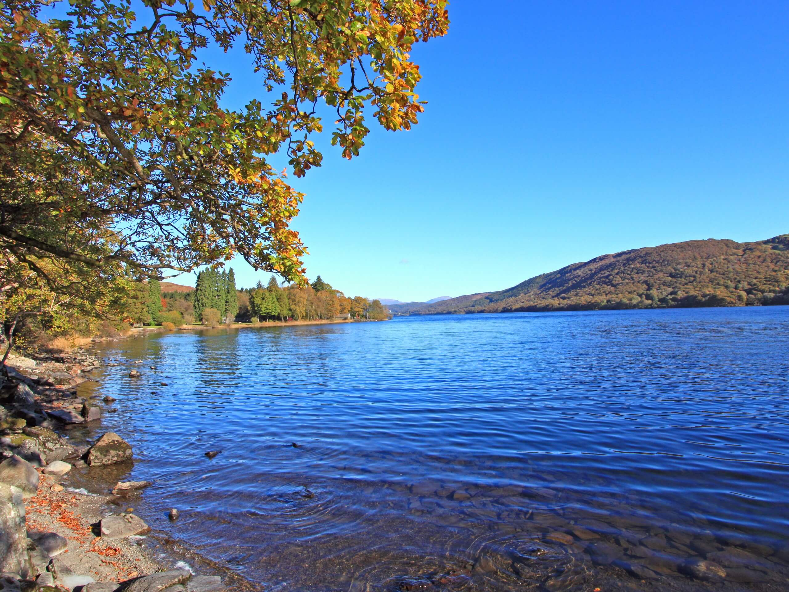
Brantwood to Coniston Walk
Difficulty Rating:
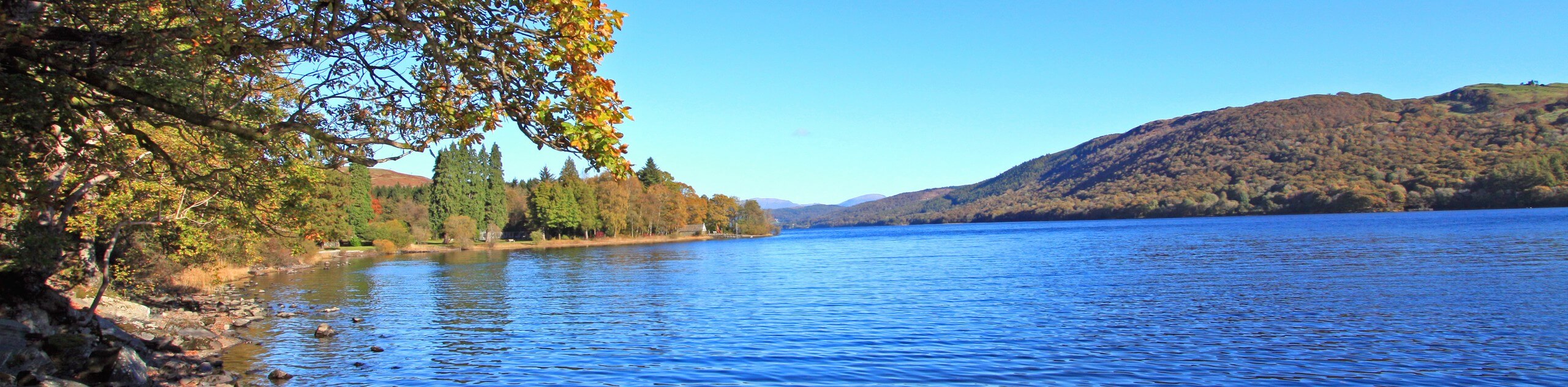
The Brantwood to Coniston Walk is a scenic lakeside route that will take you around the northern tip of Coniston Water for some amazing views that are characteristic of the Lake District. While out on the trail, you will traverse the peaceful stretches of forest and open farmland that surround the beautiful lake, making your way between these two villages on a point-to-point trail. While you certainly can walk along the shores of the lake, the start and end point of the walk are located at ferry crossings, creating the perfect opportunity for a relaxing boat ride on the return to the trailhead.
Getting there
To reach the trailhead for the Brantwood to Coniston Walk from Hawkshead, drive northeast on E of Lake Road for 1.1mi and make a slight right to continue on for 0.9mi. Continue straight onto B5285 for 1.5mi and make a right to follow the same road for another 0.3mi. Continue straight onto Main Street and you will reach the trailhead in 150ft.

About
| When to do | March-November |
| Backcountry Campsites | No |
| Pets allowed | Yes - On Leash |
| Family friendly | Older Children only |
| Route Signage | Average |
| Crowd Levels | Moderate |
| Route Type | Circuit |
Brantwood to Coniston Walk
Elevation Graph
Weather
Brantwood to Coniston Walk Description
The Brantwood to Coniston Walk offers the perfect way to spend a fun afternoon in the Lake District if you enjoy beautiful views and boating across gorgeous lakes. The trail begins at the Brantwood Ferry Landing and heads to the northeast along the road, passing by the beautiful woodlands of Kye Wood and Knipe Wood on your right, before branching off to the left in the direction of Coniston Water. Here, you will descend the hillside slightly and walk along the edge of the lake, enjoying picturesque views across its blue expanse with rugged mountains in the backdrop. After making your way around the northern tip of Coniston Water, you will traverse some open farmland to the southwest, before arriving at the Coniston Ferry Landing. At this point, you can either explore the charming village, walk back along the trail, or take a boat across the lake to gain a different perspective of the landscape enroute to the trailhead where you began your adventure.
Similar hikes to the Brantwood to Coniston Walk hike

Osprey Viewpoint & Bassenthwaite Lake Walk
The Osprey Viewpoint & Bassenthwaite Lake Walk is a scenic Lake District adventure that will expose you to some beautiful…

Hawkshead, Wray Castle, and Windermere Walk
The Hawkshead, Wray Castle, and Windermere Walk is a fantastic journey that will lead you through some picturesque locations that…
Nether Wasdale and Wastwater Walk
The Nether Wasdale and Wastwater Walk is a fairly relaxing stroll through a variety of Lake District terrain that will…
Comments