
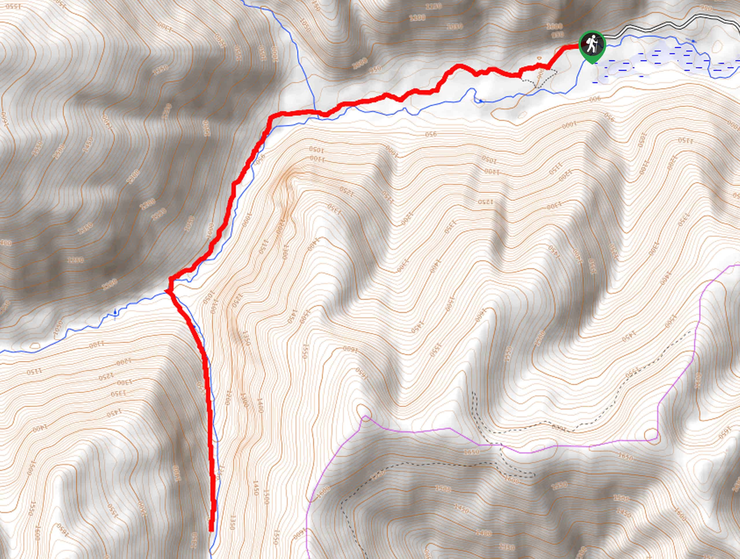
South Fork Ross Creek Trail
View Photos
South Fork Ross Creek Trail
Difficulty Rating:
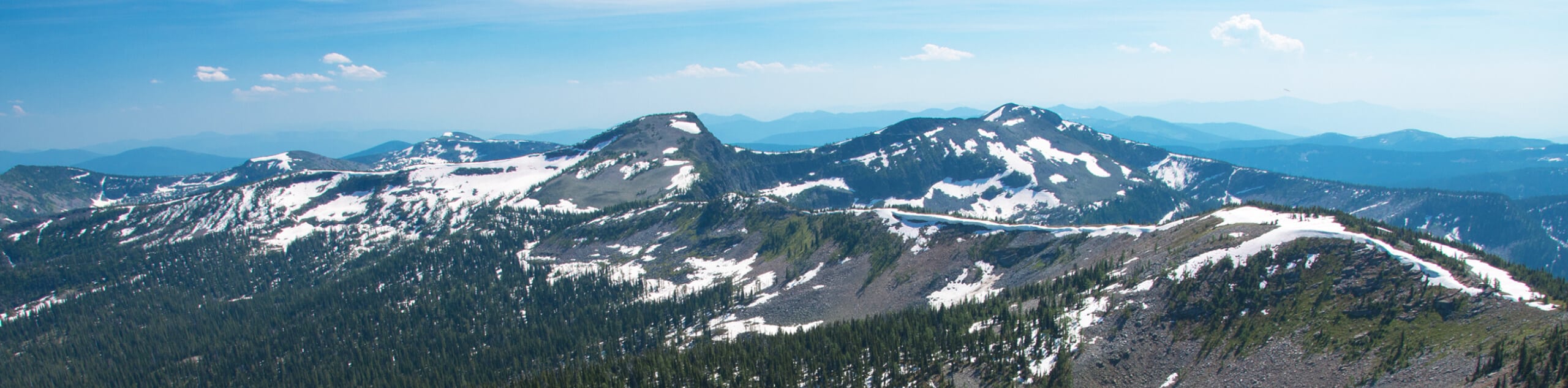
The South Fork Ross Creek Trail is a pleasant trail that explores an enchanting grove occupied by ancient giant red cedars. Traveling through the Ross Creek Cedars Scenic Area, hikers can learn all about the ecology and history of the unique environment before discovering a hidden waterfall.
Getting there
Access this hike from the Ross Creek Nature Trailhead off National Forest Development Road 398.

About
| Backcountry Campground | No |
| When to do | March-October |
| Pets allowed | Yes - On Leash |
| Family friendly | Yes |
| Route Signage | Average |
| Crowd Levels | Moderate |
| Route Type | Out and back |
South Fork Ross Creek Trail
Elevation Graph
Weather
South Fork Ross Creek Hike Description
Immerse yourself in a magical forest reminiscent of the coastal redwood grove in the west. The South Fork Ross Creek Trail is a pleasant hike that the whole family can enjoy—no matter the season. Wandering beneath the cedar and moss canopy through the interpretive area before escaping the crowds and heading further into the wilderness along Ross Creek. As this area is quite popular amongst weekend day-trippers, you can expect some company. Those seeking a more secluded experience should head out in the early morning. Note there are creek fords on this trek, so expect to get your feet wet.
Setting out from the trailhead, your adventure begins by following the Ross Creek Nature Trail west into the lush grove. Soon after your departure, you will encounter an intersection; keep right, hiking through the corridor of towering red cedars. Make sure to take the time to read the interpretive signs that line the path. After some hiking, you will diverge off the nature trail and onto the Ross Creek Trail. This segment of the hike is more primitive and rugged, so mind your footing on obstacles that impede the path. After crossing a few creeks, the path will reroute you south, climbing up to the waterfall.
Admire the charm of the chute that tumbles down the rockface from the South Fork Ross Creek. Then, when you are through reveling in the mesmerizing scene, head back along the route the way you came, all the way to the trailhead.
Similar hikes to the South Fork Ross Creek Trail hike
Northwest Peak Trail
Located in the far northwestern corner of Montana in the Kootenai National Forest, the Northwest Peak Trail is quite a…
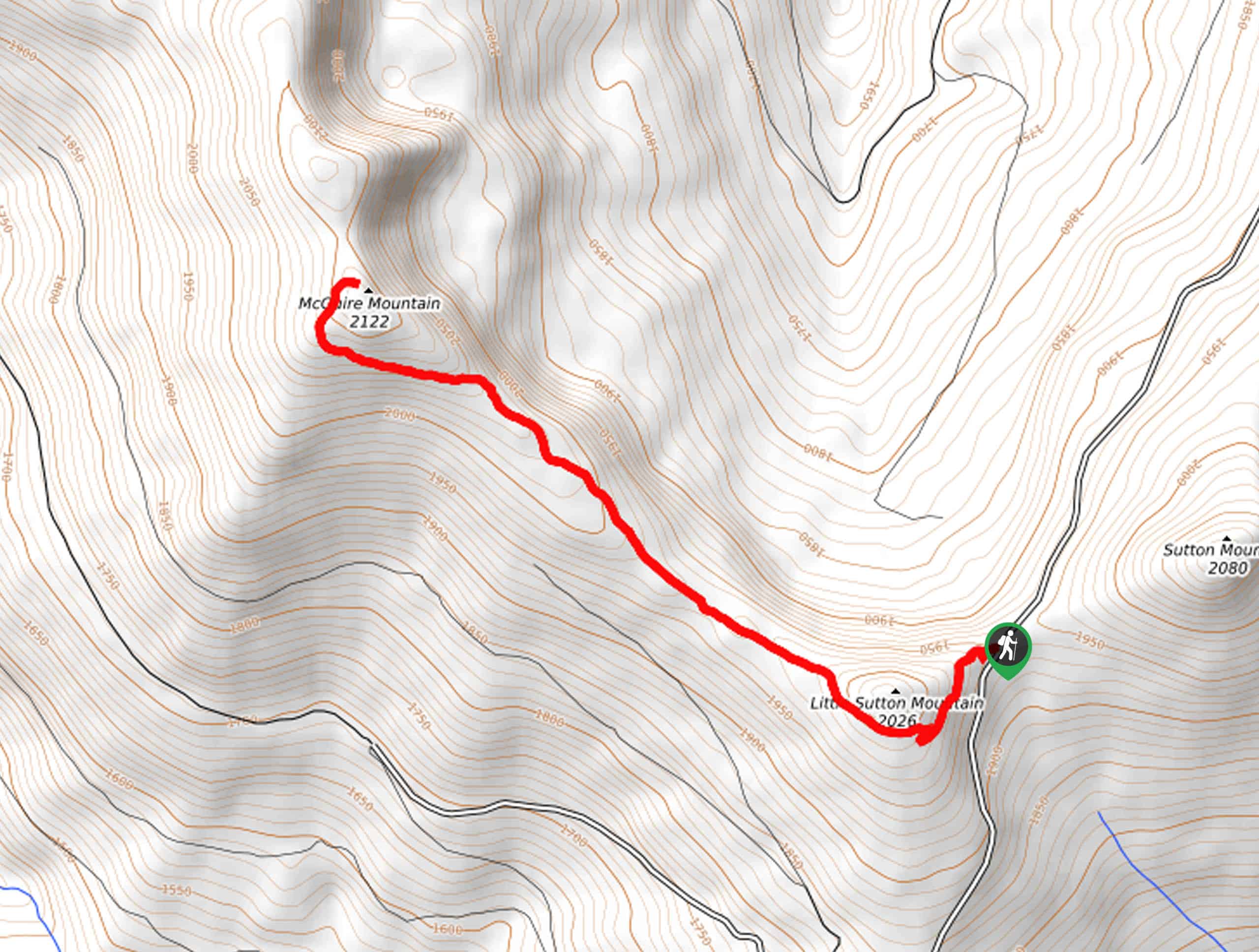
McGuire Mountain Trail
The McGuire Mountain Trail is an excellent adventure that is worth adding to your hiking itinerary. Wander through lodgepole pine…
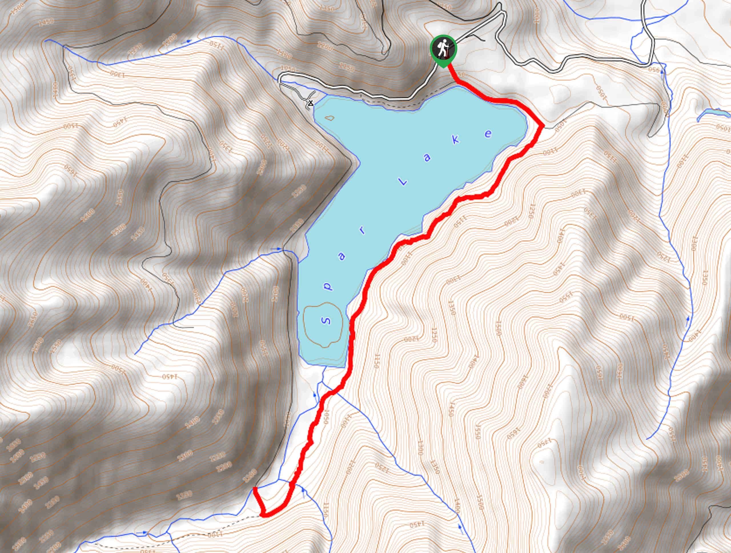
Big Spar Lake Hike
Get outside and reconnect with nature on the Big Spar Lake Hike. This family-friendly adventure explores the shady cedar shoreline…
Comments