

Historic Highway 2 East Trail
View PhotosHistoric Highway 2 East Trail
Difficulty Rating:
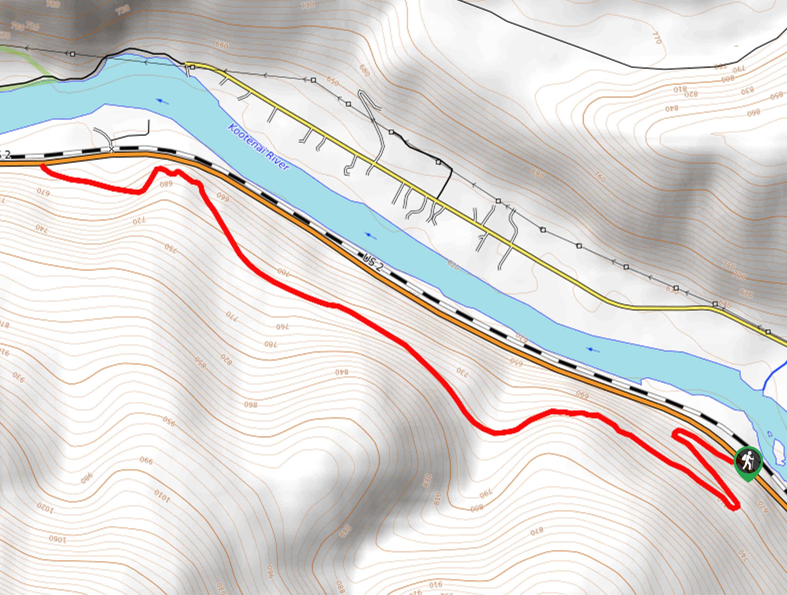
The Historic Highway 2 East Trail is a moderate day adventure for intermediate hikers and families with older children. Located near Troy, this scenic route contours the timbered ridges that bound the gorgeous Kootenai River valley.
Getting there
Access this adventure from the trailhead off US Highway 2.
About
| Backcountry Campground | No |
| When to do | April-October |
| Pets allowed | Yes - On Leash |
| Family friendly | Older Children only |
| Route Signage | Average |
| Crowd Levels | Moderate |
| Route Type | Out and back |
Historic Highway 2 East Trail
Elevation Graph
Weather
Historic Highway 2 East Hike Description
Explore the Historic Highway 2 East Hike and learn all about the history and ecology of the area through the interpretive signs that line the lovely path. Wander through a corridor of mixed pines, unique geological features, and vibrant wildflowers. Exhibiting wonderful views of the beautiful Kootenai River and the surrounding mountainscape. Don’t forget your camera—the scenery is picture perfect!
Embark on your adventure along the Historic Highway 2 East from the trailhead off US Highway 2. Setting out from here you will be led up a switchback before the trail reroutes northwest. This gently undulating route will gently climb through the forestlands, offering mesmerizing scenery and a heart-pumping workout. Take the time to read the interpretive signs that line the historic highway, and you will eventually reach the route’s end at the western trailhead.
To get back to the trailhead simply retrace your footing along the path and all the way back to the trailhead.
Similar hikes to the Historic Highway 2 East Trail hike

Northwest Peak Trail
Located in the far northwestern corner of Montana in the Kootenai National Forest, the Northwest Peak Trail is quite a…

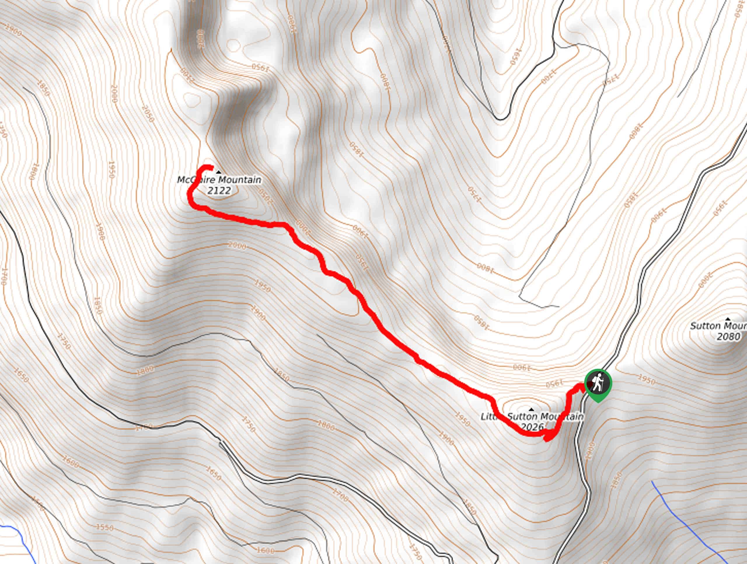
McGuire Mountain Trail
The McGuire Mountain Trail is an excellent adventure that is worth adding to your hiking itinerary. Wander through lodgepole pine…

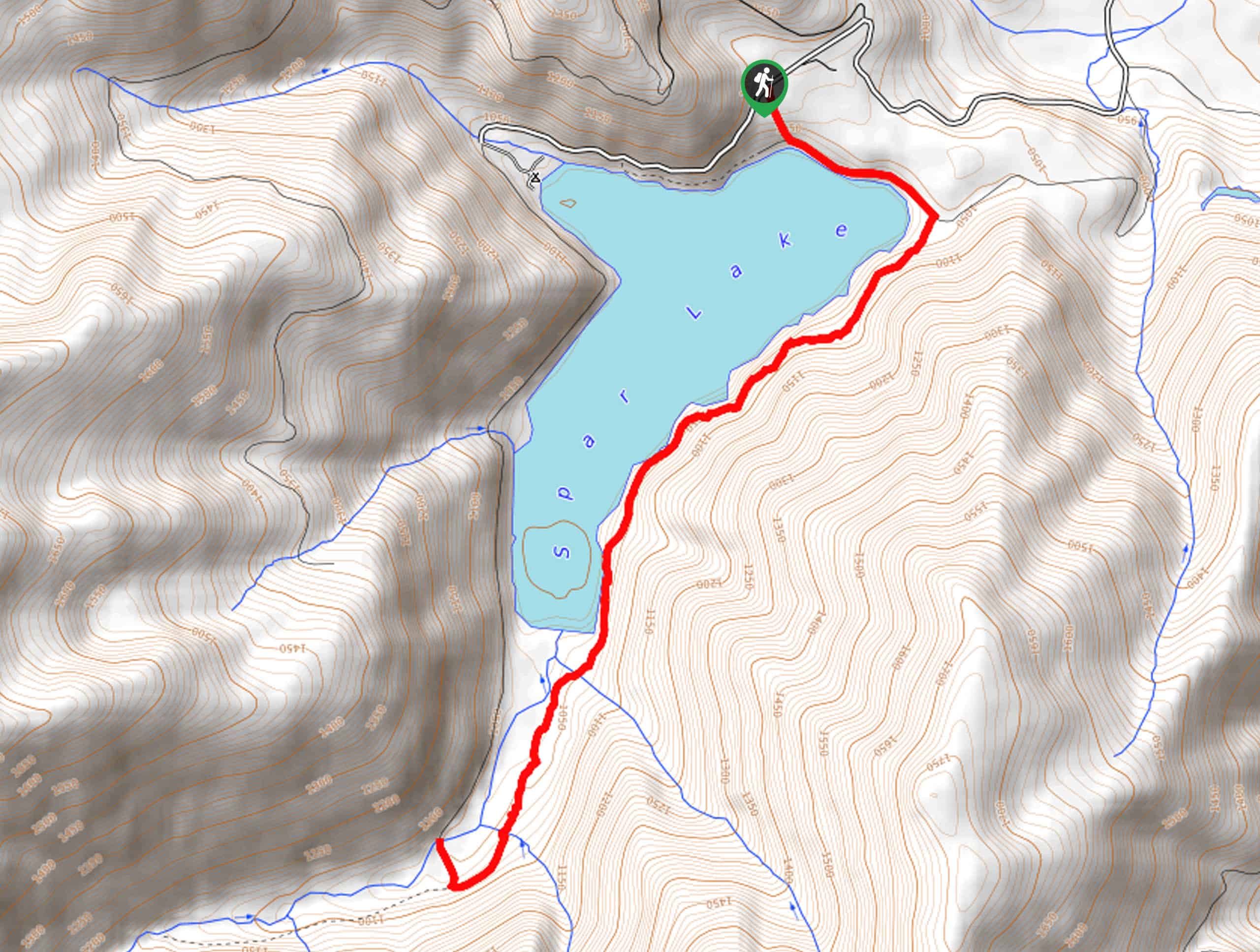
Big Spar Lake Hike
Get outside and reconnect with nature on the Big Spar Lake Hike. This family-friendly adventure explores the shady cedar shoreline…


Comments