

Bighorn Trail #42
View PhotosBighorn Trail #42
Difficulty Rating:
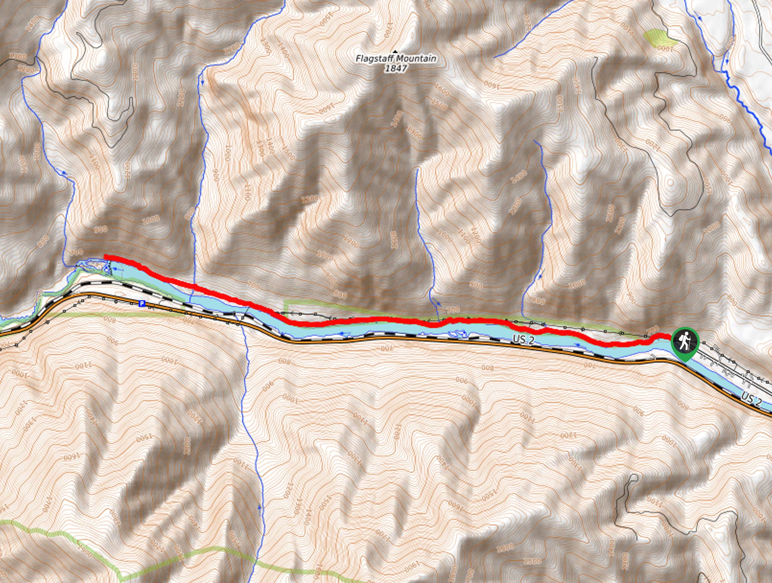
The Bighorn Trail #42 is an exciting expedition that explores the riverbanks of the Kootenai River. Shared with mountain bikers, this route boasts a more secluded, and arguably more scenic way to experience the Kootenai Falls.
Getting there
Access this adventure from the trailhead off the Kootenai River Road.
About
| Backcountry Campground | No |
| When to do | April-October |
| Pets allowed | Yes - On Leash |
| Family friendly | Older Children only |
| Route Signage | Average |
| Crowd Levels | Moderate |
| Route Type | Out and back |
Bighorn Trail #42
Elevation Graph
Weather
Bighorn Trail #42 Hike Description
Indulge in the beauty of the Kootenai River and the layered sediment and shale walls that bound the water. This scenic adventure is conveniently located near Tory; you will likely enjoy the company of locals as you wander. Note that much of the terrain is uneven and rugged, and there are even sections of loose scree—so a comfy pair of footwear is a must! Don’t forget to wear sunscreen and bring plenty of water to avoid overexposure.
Setting out from the trailhead off the Kootenai River Road, your adventure progresses westward, contouring the riverbanks. Enjoy the scene of the fast-moving water bisecting the mountainous landscape and notice hikers on the opposite side of the water. Revel in the beauty of the timbered mountains rising from the landscape. After some hiking, you will intersect with Dad Creek, Burnell Creek, and China Creek. Passing by historic cabins and artifacts, you will eventually reach the trail’s end at the overlook of the falls.
Take the time to admire the mesmerizing scene of the cascading water, and if you are lucky, you may even get a chance to watch an intrepid kayaker braving the rapids. Then, when you are through admiring the scenery, head back to the trailhead the way you came.
Similar hikes to the Bighorn Trail #42 hike

Northwest Peak Trail
Located in the far northwestern corner of Montana in the Kootenai National Forest, the Northwest Peak Trail is quite a…

McGuire Mountain Trail
The McGuire Mountain Trail is an excellent adventure that is worth adding to your hiking itinerary. Wander through lodgepole pine…

Big Spar Lake Hike
Get outside and reconnect with nature on the Big Spar Lake Hike. This family-friendly adventure explores the shady cedar shoreline…


Comments