


Raspberry Ridge Hike
View PhotosRaspberry Ridge Hike
Difficulty Rating:
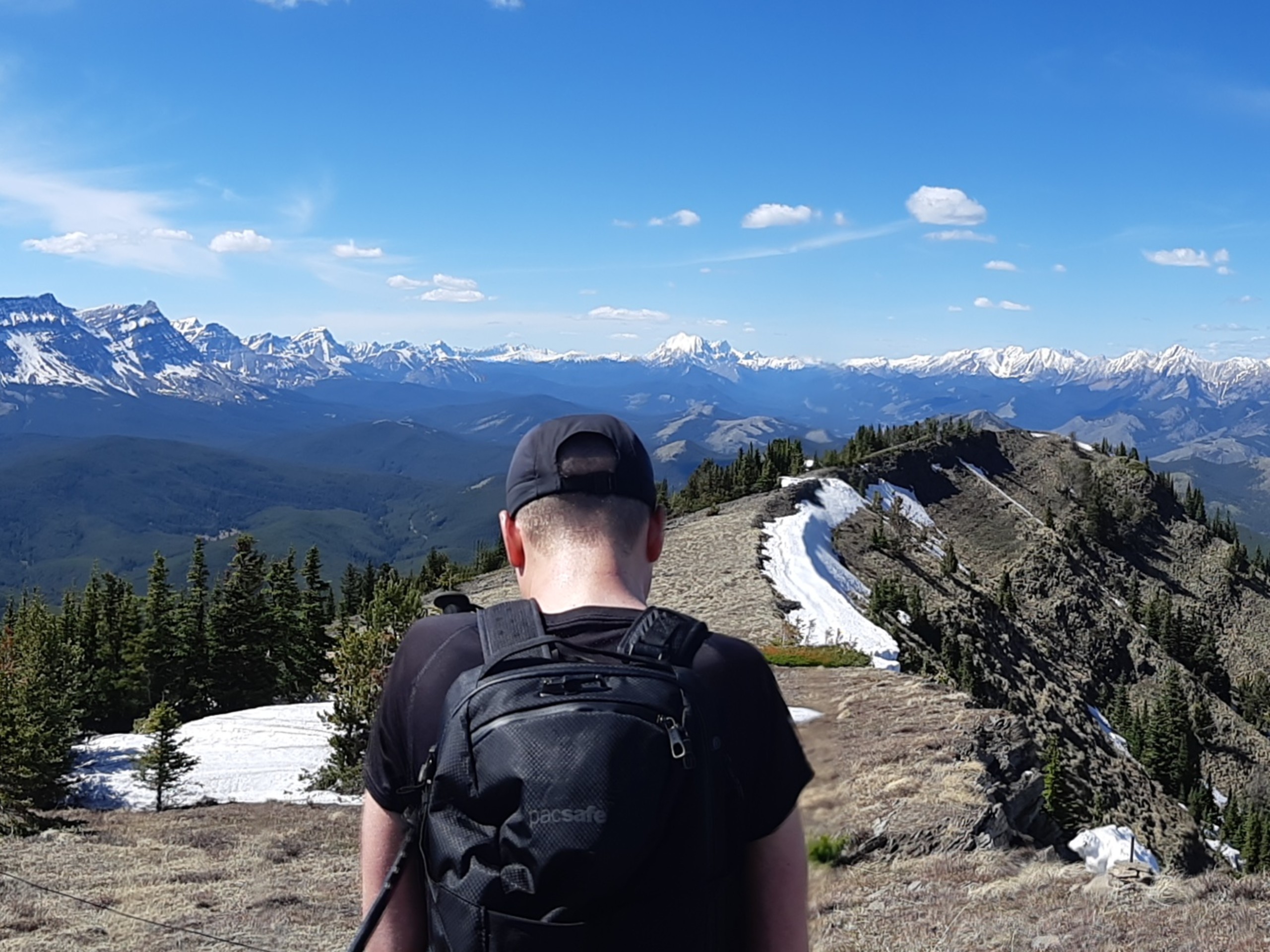
Raspberry Ridge is a great trail to hike if you are staying at Cataract Creek campground. It is located across the street and features a well-graded path through the forest that opens up to great views of the foothills and eventually the rockies. Enjoy this route with the family for a half-day adventure near your campsite.
Getting there
From Calgary, take AB-8 westbound to the roundabout and join AB-22 south. When you reach Longview, turn right onto Highway 541. Turn left onto Highway 940 and drive south to the Raspberry Ridge trailhead on your right. It is across from the Cataract Creek Campground.
About
| When to do | June-October |
| Backcountry Campsites | No |
| Pets allowed | Yes - On Leash |
| Family friendly | Older Children only |
| Route Signage | Average |
| Crowd Levels | Moderate |
| Route Type | Out and back |
Raspberry Ridge Hike
Elevation Graph
Weather
Raspberry Ridge Trail Description
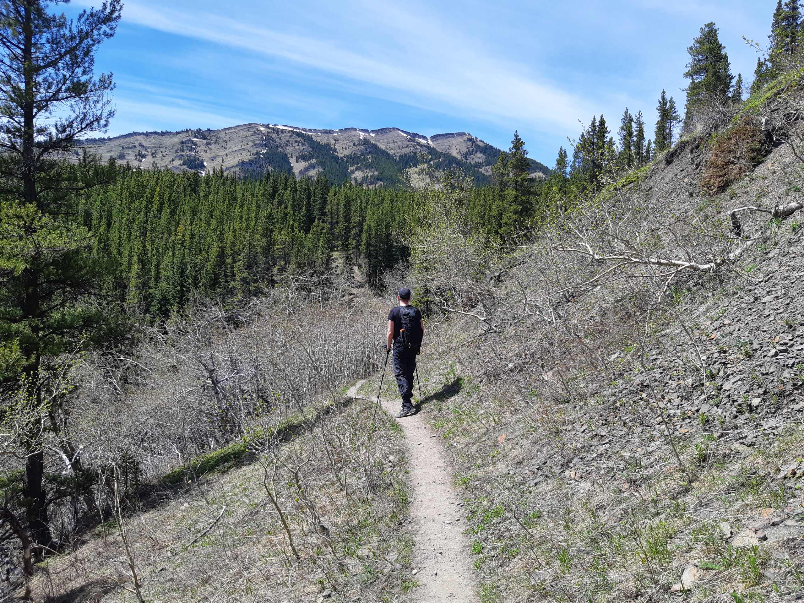
Hiking Raspberry Ridge is a great way to see where the foothills meet the Rockies. Starting from the Highway, begin your hike by making your way into the forest, where many clearings will reveal excellent views towards Longview. At 2.0mi, you will come to a junction known as the Raspberry Ridge easy route. This also gives you an option to create a lollipop on your return. The easy route to the left of the mountain slope adds only about 0.6mi each way, however, it’s much more convenient and the views are a lot nicer than grinding your way with practically no views on the main trail.
If you decide to use the main route, switchback up for 0.6mi before reaching the ridge and your final stretch. Enjoy the panoramic views from here before returning. If you’d like to take it easy and be kind to your knees, stay right following the ridge to join the easy route on your descent.
Find other amazing hikes in Kananaskis Country
- Kananaskis – Smith Dorrien Trail: Chester Lake, Tent Ridge, Burstall Pass, West Wind Pass and Rummel Lake.
- Bragg Creek and Sheep River Provincial Park: Prairie Mountain, Powderface Ridge, Nihahi Ridge and ForgetMeNot Ridge.
- Kananaskis Trail: Troll Falls, Rawson Lake, Wasootch Ridge, Sarrail Ridge and Pocaterra Ridge.
Insider Hints
We recommend adding 0.6mi each way and using the easy route up and down. The views are much nicer as you can see more of the mountain range separating Alberta and British Columbia. And if you have the time, this way is a lot more enjoyable.
Similar hikes to the Raspberry Ridge Hike hike
Gorge Creek Loop
Hiking the Gorge Creek Loop requires some route knowledge and a bit of extra effort as it is not as…
Powderface Creek Trail
The Powderface Creek trail in Kananaskis is a popular hiking, biking, and horseback trail, so be aware of traffic when…
Barwell Trail
Hiking the Mount Barwell Trail is a half to full day effort that is very rewarding. With minimal crowds and…


Lukas Saville 4 years ago
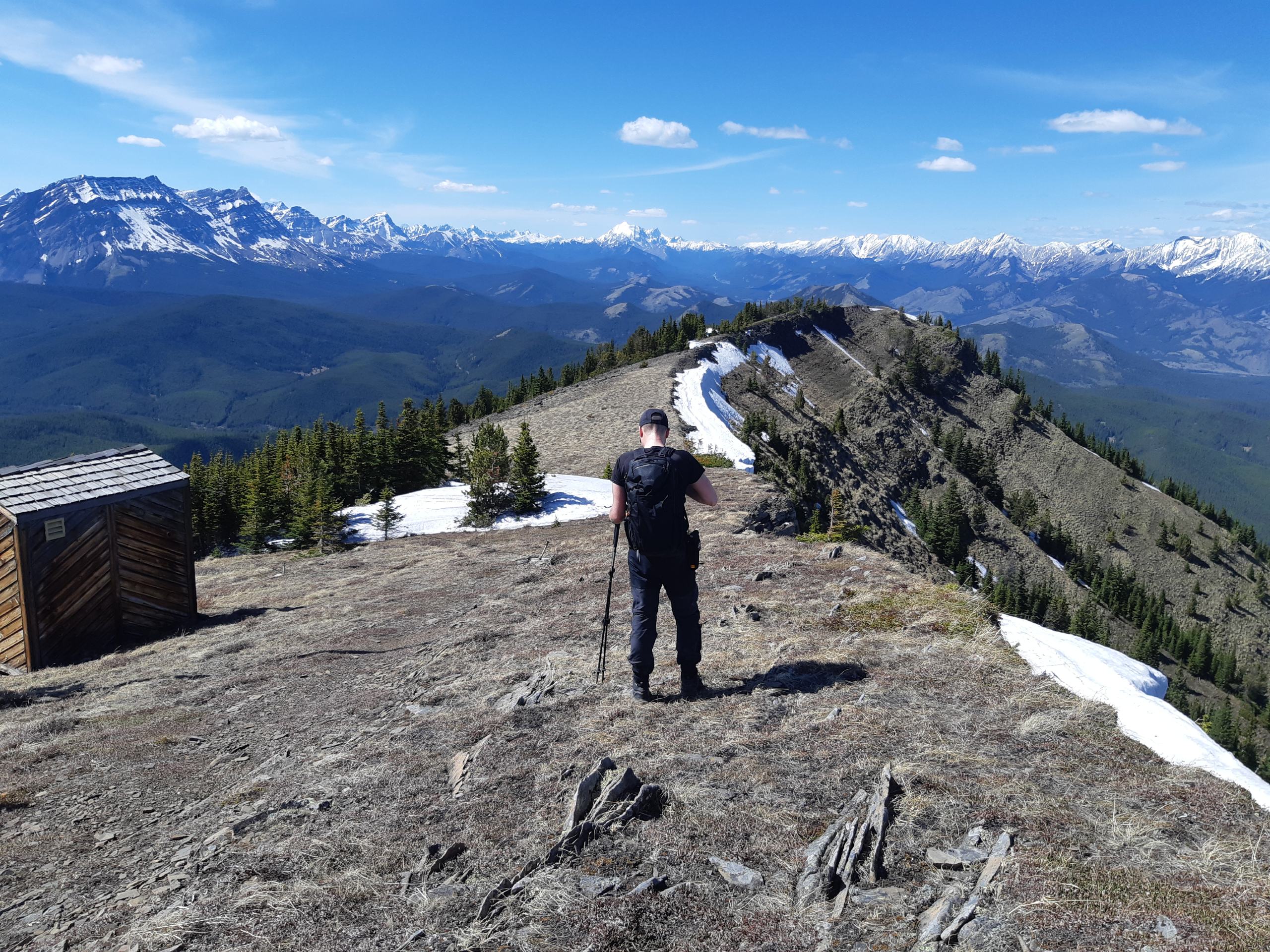
A great trail in the Cataract Creek area. The views are beautiful, the hike isn't too hard, and the area itself is very pleasant. If you're in the area, I'd say, Mt Burke and this hike are the two I'd definitely recommend. I'd also recommend the easy route that goes slightly to the left of the ridge and not straight up. The main reason - you get to see more of the stunning mountain ranges from more sides. And going down too, my knees did not like the main route going down, I'd use the alternative one for both ascent and descend next time I'm there.
Giedre 4 years ago
Did this hike a week ago and it exceeded my expectations by a lot. The trail was pleasant, and the views above were just stunning. I'm surprised that this trail is not well known as it is one of the hidden gems. The route is very well defined and I strongly suggest keeping on your left on the small junction below the ridge (marked by a small cairn) as that path is way more scenic and pleasant. I went back taking the short route just to check it out, and honestly, next time I'm here I'd take the longer route down as well.