Galatea Lakes Hike
View Photos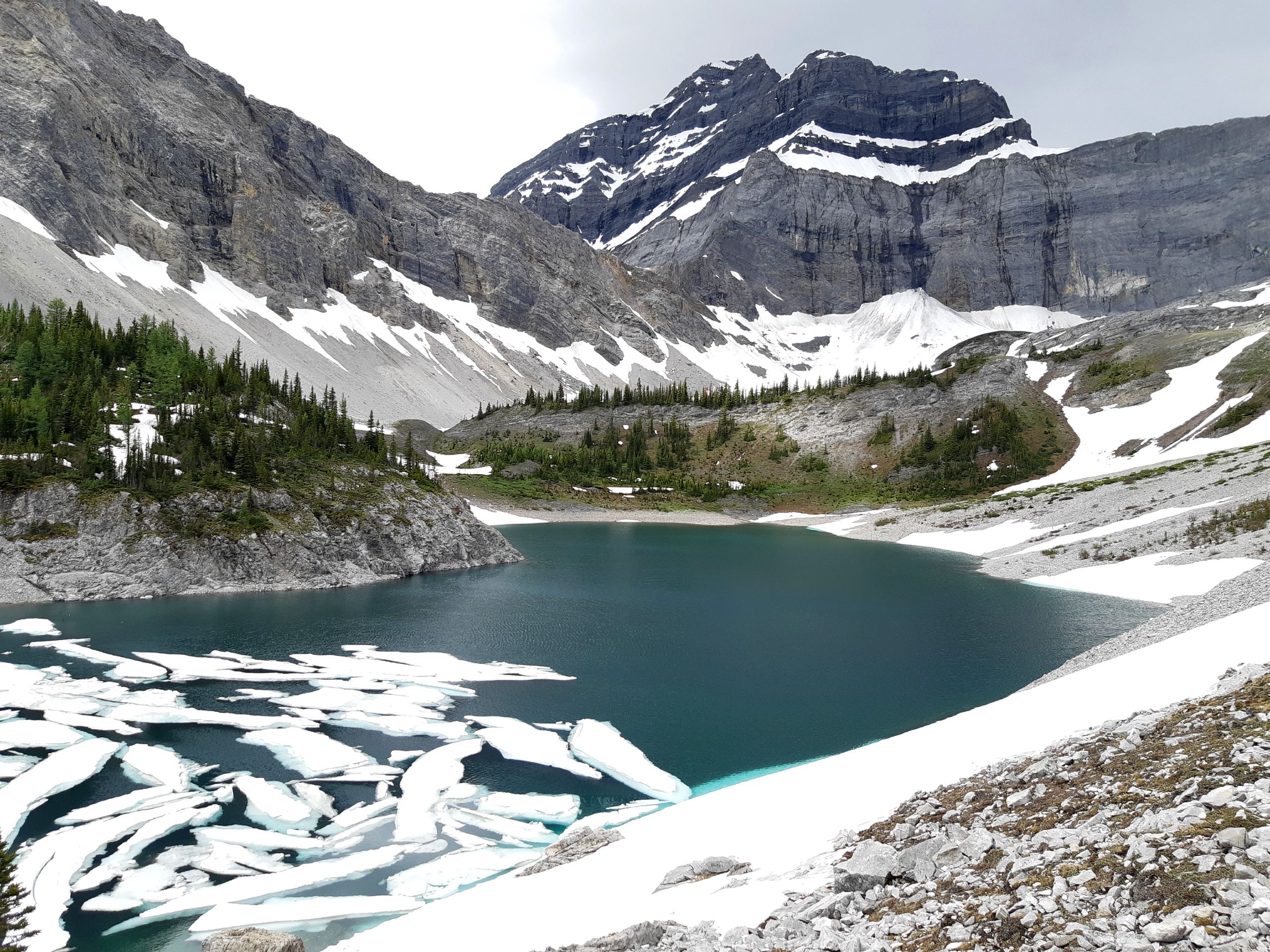
Galatea Lakes Hike
Difficulty Rating:
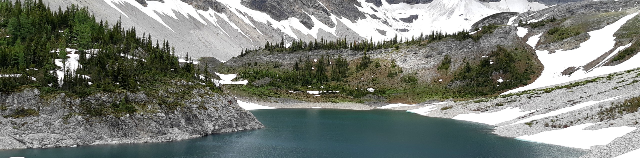
The hike to Galatea Lakes follows a beautiful trail that winds up through the forest to the stunning Lillian Lake. A well-equipped backcountry campsite is located here, where you can take a rest on the benches and enjoy the scenery before moving on. You’ll climb up into the subalpine, where you will find the Upper and Lower Galatea Lakes.
Getting there
From the Highway 40 junction at the Trans Canada Highway, follow Highway 40 for 19.9mi until you come to the Galatea Creek parking area on your right.

About
| When to do | May-October |
| Backcountry Campsites | Lillian Lake |
| Pets allowed | Yes - On Leash |
| Family friendly | Older Children only |
| Route Signage | Average |
| Crowd Levels | High |
| Route Type | Out and back |
Galatea Lakes Hike
Elevation Graph
Weather
Galatea Lakes Hike Description
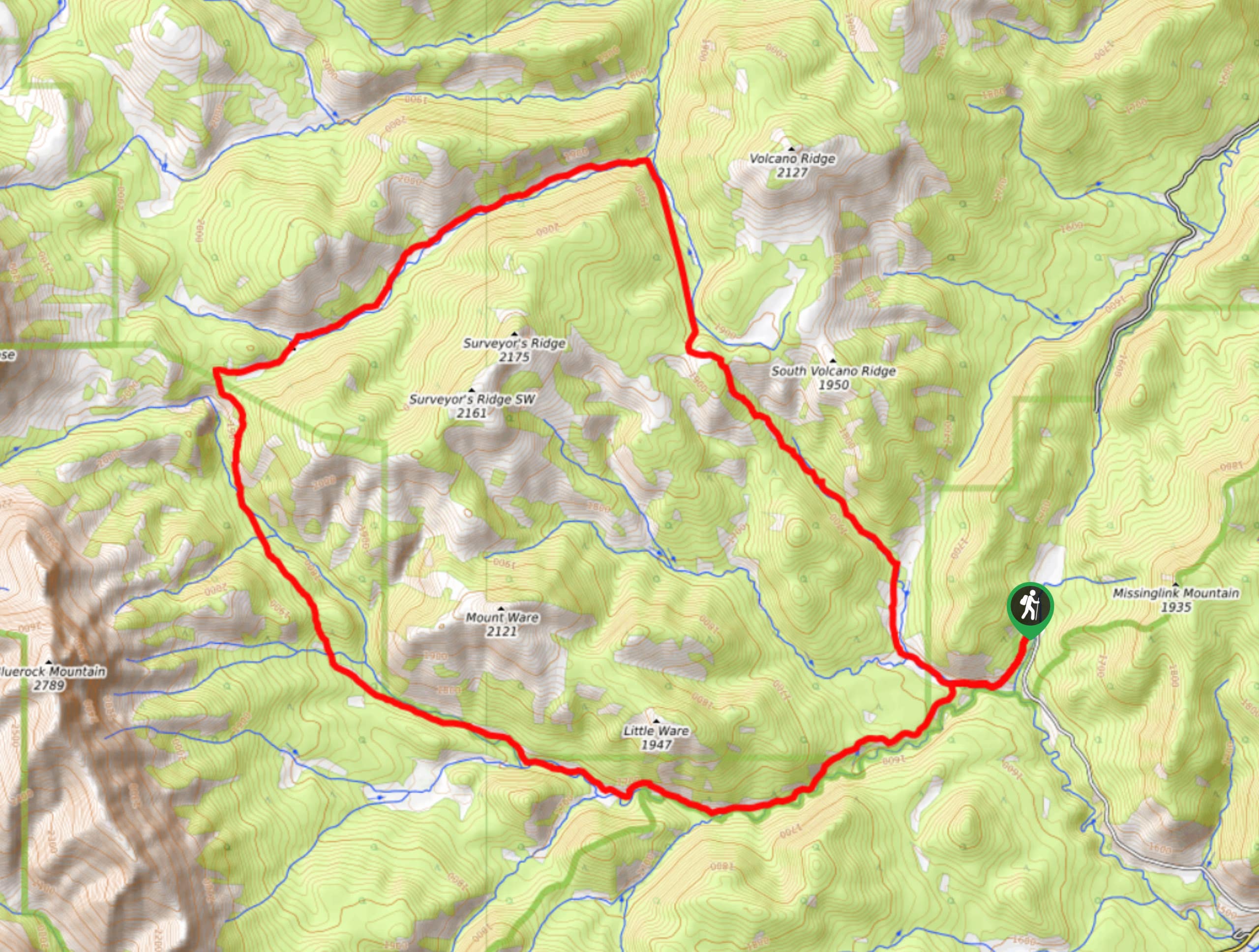
The Galatea Lakes hiking trail leaves from Galatea Creek trailhead on Highway 40. This is an extremely popular multi-use trail that sees a lot of traffic in the summer months. Lillian Lake along the trail is a popular destination on it’s own for both day hikers and overnighters, so beware that you will be sharing the trail. It takes extra effort to reach the Galatea Lakes, so you have a chance to leave some of the crowds behind at Lillian Lake.
Follow the trail up Galatea Creek from the parking lot, and gain elevation gradually. At 2.5mi, you will pass a junction for the Lost Lake trail on your left, and in 1640ft, you will pass the Mount Kidd-South junction on your right. Continue making your way up the trail before arriving at the alluring Lillian Lake at the 3.5mi mark. The established campsite is 984ft towards the back of the lake and makes for a great break spot if needed.
The first Galatea Lake is only about 0.7mi from the campsite; however, you will be required to climb some steeper switchbacks to get there. Once at the lake, you’ll notice the trail split. There is a loop trail around the first Galatea Lake that allows you to create a small lollipop by adding the 984ft out and back on the shore of the second Galatea Lake. Explore this area and take your time doing so because it is one of the must-see alpine lake areas in Kananaskis.
Make your way back to the trailhead the way you came. If you are feeling up to it, book a night at Lillian Lake and make Galatea Lakes a side trip from camp. You’ll be able to take advantage of the astounding campsites right on the lake and break up the distance of your hike at the same time!
Find other amazing hikes in Kananaskis Country
- Kananaskis – Smith Dorrien Trail: Chester Lake, Tent Ridge, Burstall Pass, West Wind Pass and Rummel Lake.
- Bragg Creek and Sheep River Provincial Park: Prairie Mountain, Powderface Ridge, Nihahi Ridge and ForgetMeNot Ridge.
- Kananaskis Trail: Troll Falls, Rawson Lake, Wasootch Ridge, Sarrail Ridge and Pocaterra Ridge.
Similar hikes to the Galatea Lakes Hike hike
Gorge Creek Loop
Hiking the Gorge Creek Loop requires some route knowledge and a bit of extra effort as it is not as…
Powderface Creek Trail
The Powderface Creek trail in Kananaskis is a popular hiking, biking, and horseback trail, so be aware of traffic when…
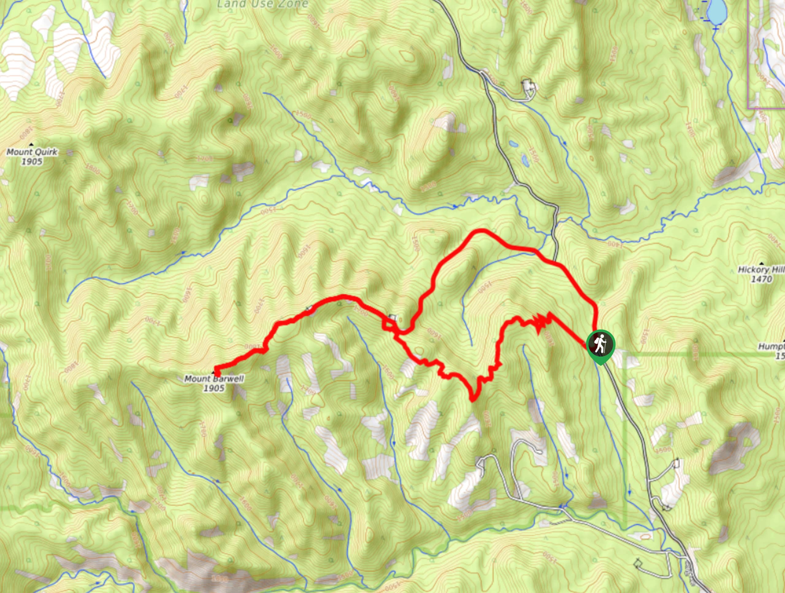
Barwell Trail
Hiking the Mount Barwell Trail is a half to full day effort that is very rewarding. With minimal crowds and…
Comments