

Coal Mine Trail
View PhotosCoal Mine Trail
Difficulty Rating:
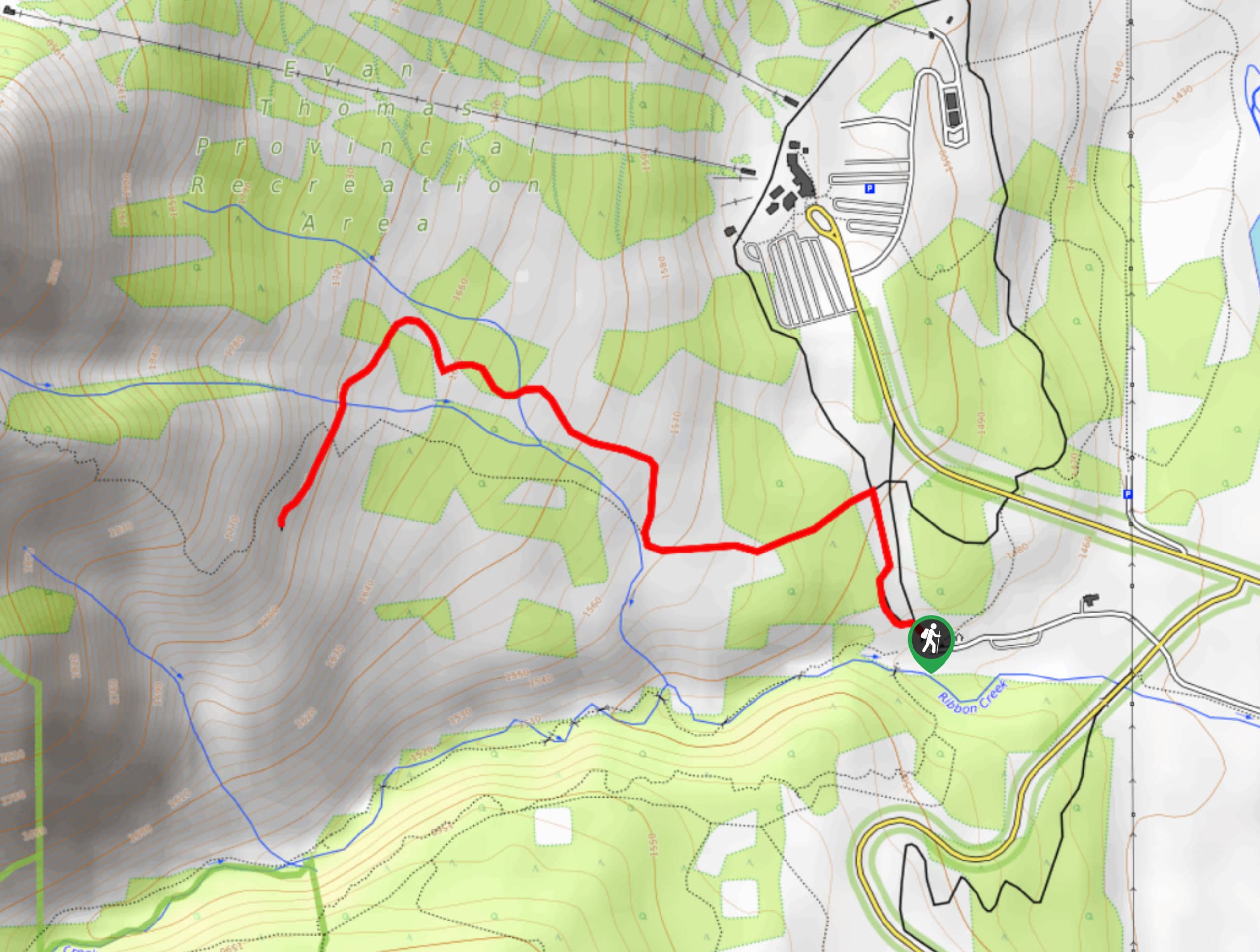
The Coal Mine trail takes hikers to a now defunct mine site with amazing views. This is a great hike to choose when staying in the Kananaskis Village area. The route stays in the forest before opening up to stunning views of the surrounding mountains.
Getting there
Join Highway 40 from the exit off the Trans Canada Highway and travel southbound for 13.0mi. Turn Right onto Mount Allan Drive, following signs for the HI Kananaskis Wilderness Hostel. After 2625ft, turn left onto Centennial Drive. Turn onto Ribbon Creek Road, and park in the day-use area beyond the hostel.
About
| When to do | May-September |
| Backcountry Campsites | No |
| Pets allowed | Yes - On Leash |
| Family friendly | Yes |
| Route Signage | Average |
| Crowd Levels | Moderate |
| Route Type | Out and back |
Coal Mine Trail
Elevation Graph
Weather
Coal Mine Trail Description
The Coal Mine trail begins on the popular Hidden Trail near Kananaskis Village. Follow the clearly marked trail from the Ribbon Creek day-use area and join the Coal Mine trail after 1312ft. The trail gains elevation slowly to reach a coal mine site. The mine was in use from 1947 to 1952 and is no longer in operation. The views from the mine site are excellent.
Similar hikes to the Coal Mine Trail hike

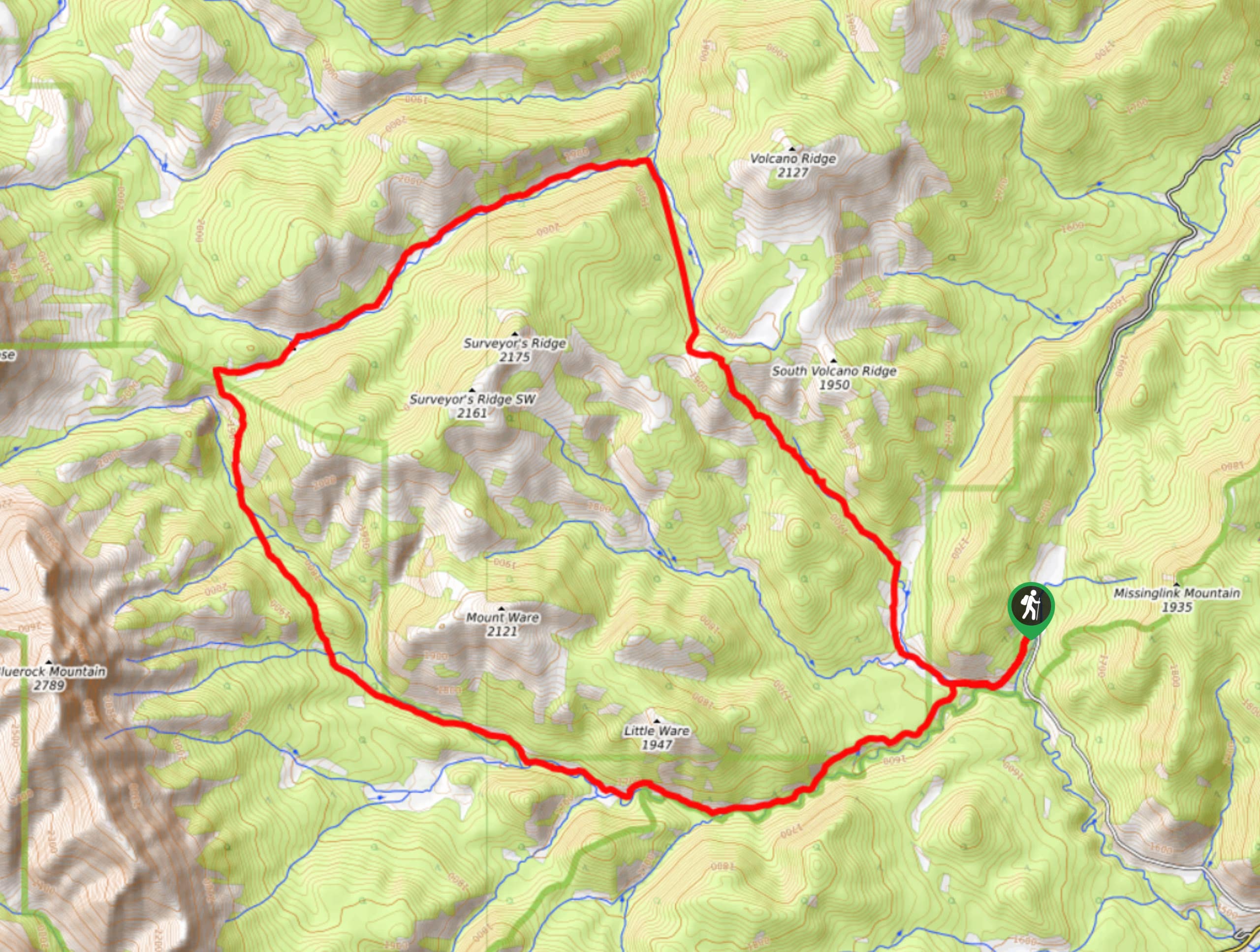
Gorge Creek Loop
Hiking the Gorge Creek Loop requires some route knowledge and a bit of extra effort as it is not as…

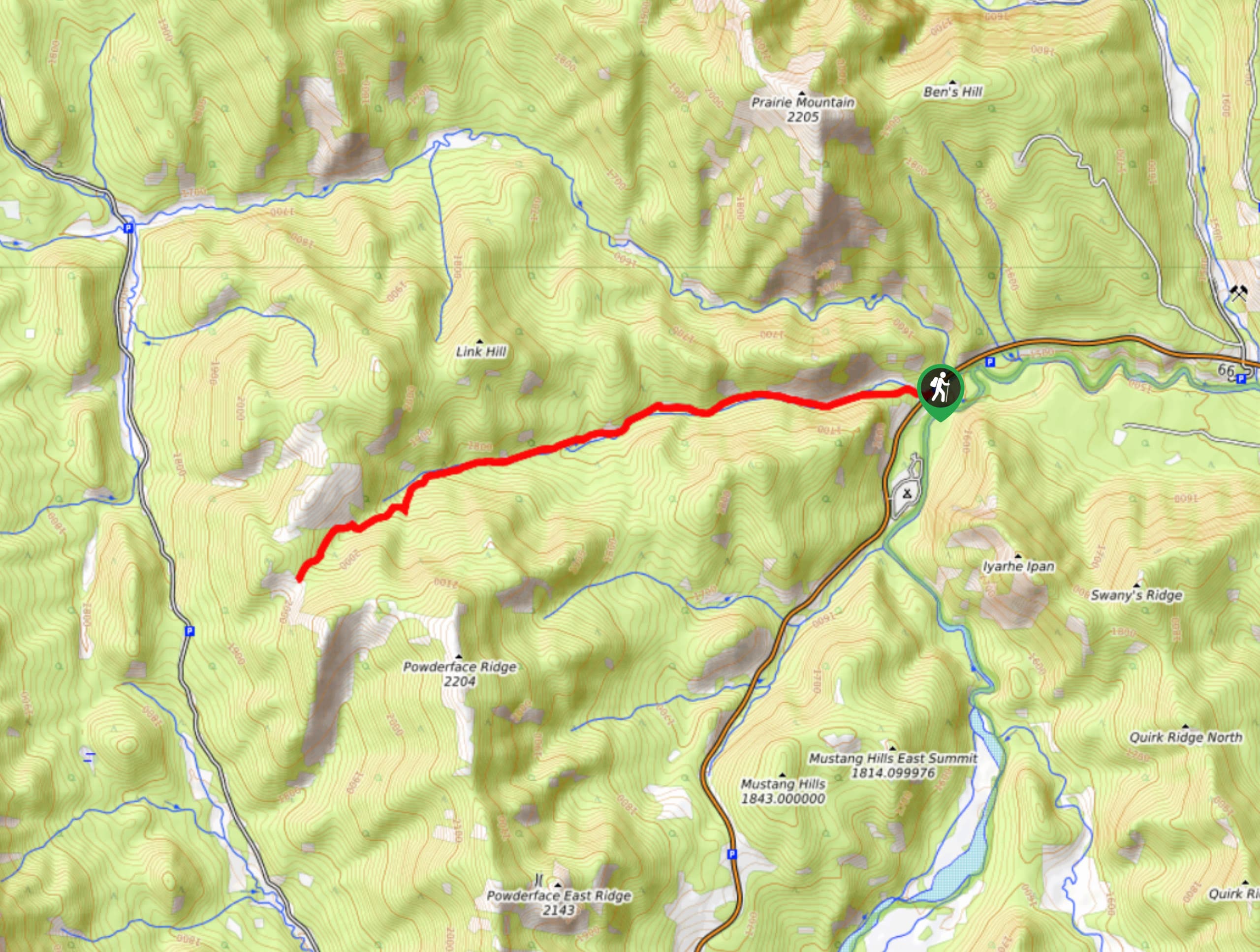
Powderface Creek Trail
The Powderface Creek trail in Kananaskis is a popular hiking, biking, and horseback trail, so be aware of traffic when…

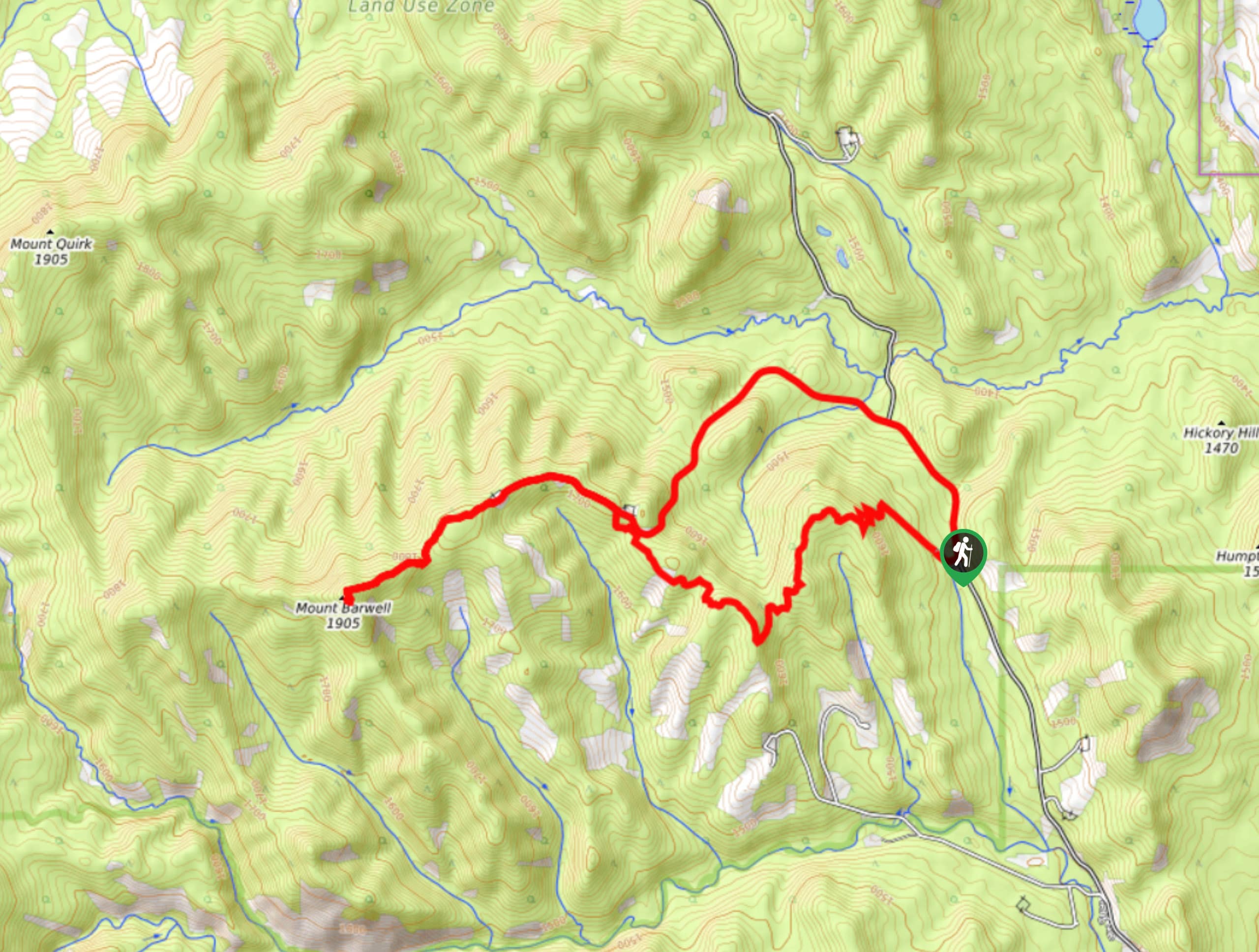
Barwell Trail
Hiking the Mount Barwell Trail is a half to full day effort that is very rewarding. With minimal crowds and…


Comments