

Barrier Lake Trail
View PhotosBarrier Lake Trail
Difficulty Rating:
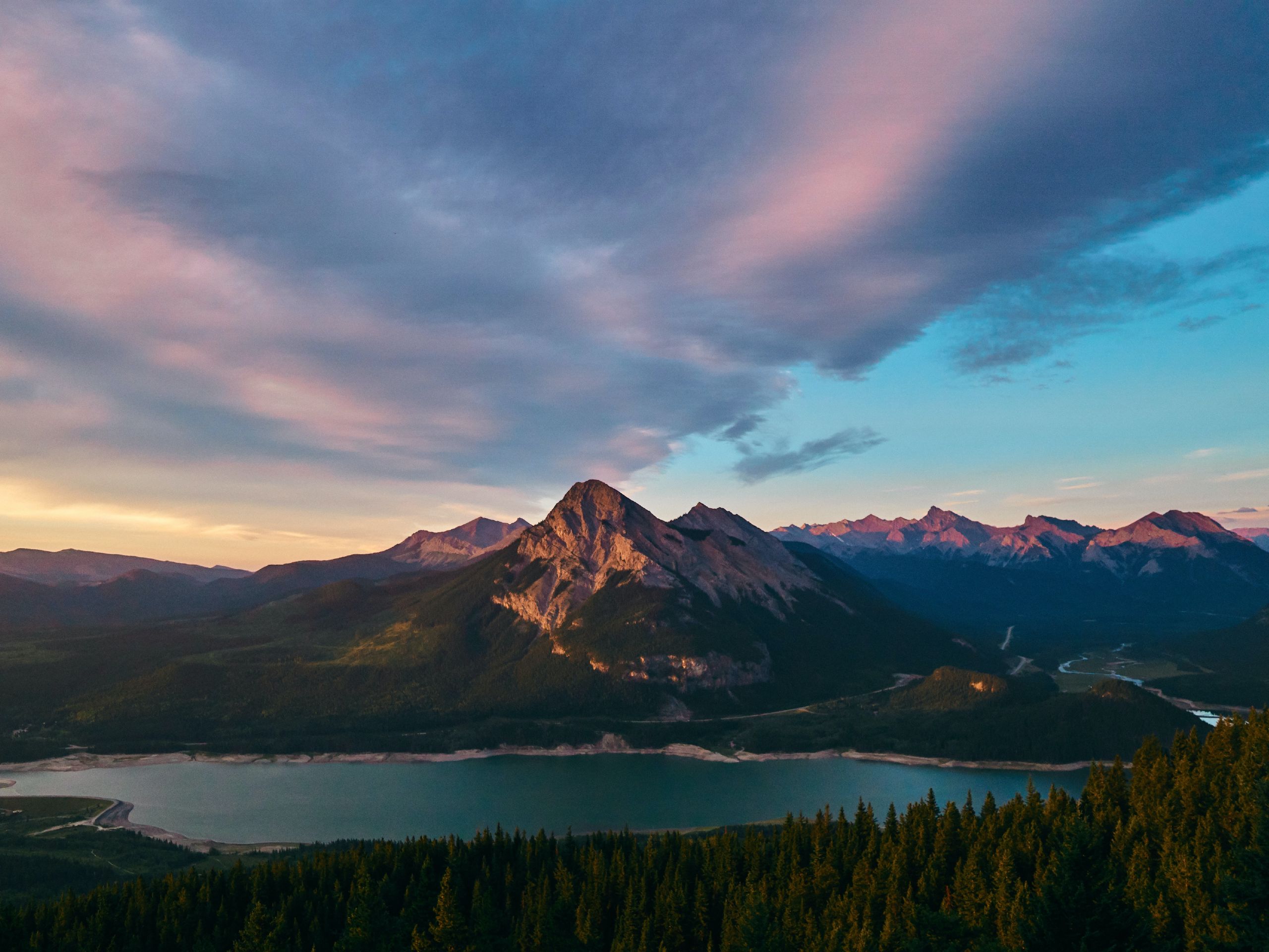
The Barrier Lake trail is a smooth and gentle multi-use trail that sees hikers, backpackers, and cyclists. It travels across the Barrier Dam and into the forest offering excellent views of the lake through the clearings. This is a great hike for families looking to explore trails around the day-use area.
Getting there
From Calgary, merge onto the Trans-Canada Highway westbound towards Banff. Follow this until you reach Highway 40. Exit onto Highway 40 and enter Kananaskis. Barrier Lake day use area will be on the right hand side.
About
| When to do | May-September |
| Backcountry Campsites | Jewel Bay |
| Pets allowed | Yes - On Leash |
| Family friendly | Yes |
| Route Signage | Average |
| Crowd Levels | High |
| Route Type | Out and back |
Barrier Lake Trail
Elevation Graph
Weather
Barrier Lake Trail Description
Barrier Lake Trail starts at one of the most popular day-use areas in Kananaskis. It’s proximity to the city, concentration of easy to moderate trails, and excellent day use area make it a regular stop for all sorts of visitors. Don’t be discouraged by the crowds, you will soon escape them.
This is a great family-friendly trail that is commonly used by those heading to the nearby backcountry site at Jewel Bay. It is an easy trail with a moderate distance that is an excellent way to find solitude at Barrier Lake.
From the parking lot, make your way past the bathrooms towards the dam. Cross the dam leaving picnickers and swimmers behind. After 0.8mi, you will come to a junction with the popular Prairie View trail. You’ll stay low and take the trail to the left towards Jewel Bay and Stoney Trail.
In another kilometre, a connector trail joins the main trail at a small junction. Ignore this and continue on as views across the lake come into clear view. You’ll be in and out of the forest switching from single track to decommissioned road on this trail.
1640ft from the junction, the one and only steep section appears. Don’t get discouraged, it is short and you won’t be expecting any more steep areas. Another kilometre brings you to the junction with the Jewel Pass and Quiate Creek connector trail. This is a regular turn around point; however, if you continue roughly 328ft you’ll come to a large cook area at the Jewel Bay campsite. This is an excellent spot to stop for lunch and enjoy the lake with some amenities. Return the way you came, always staying right at the junctions until you reach the dam, where you will find the parking lot on the left.
Find other amazing hikes in Kananaskis Country
- Kananaskis – Smith Dorrien Trail: Chester Lake, Tent Ridge, Burstall Pass, West Wind Pass and Rummel Lake.
- Bragg Creek and Sheep River Provincial Park: Prairie Mountain, Powderface Ridge, Nihahi Ridge and ForgetMeNot Ridge.
- Kananaskis Trail: Troll Falls, Rawson Lake, Wasootch Ridge, Sarrail Ridge and Pocaterra Ridge.
Insider Hints
Pack a picnic lunch and go the extra 328ft to Jewel Bay campground to enjoy the picnic tables and swimming opportunities in the bay
Reserve a backcountry site at Jewel Bay for the whole family. This is the perfect campsite for beginners and kids
If you want to gain some vertical, head up to Prairie View on your way back. The lookouts from this trail are excellent.
Similar hikes to the Barrier Lake Trail hike

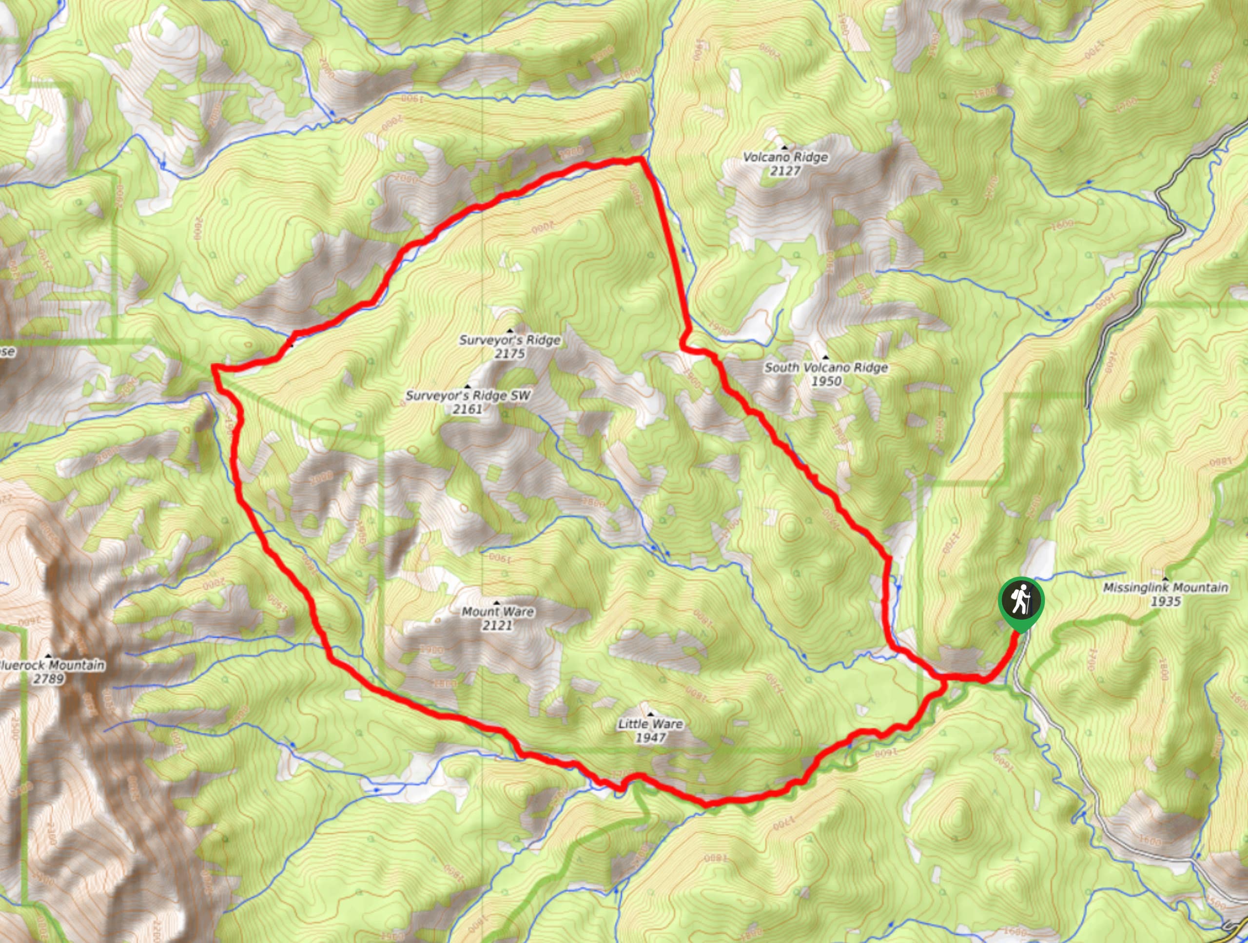
Gorge Creek Loop
Hiking the Gorge Creek Loop requires some route knowledge and a bit of extra effort as it is not as…

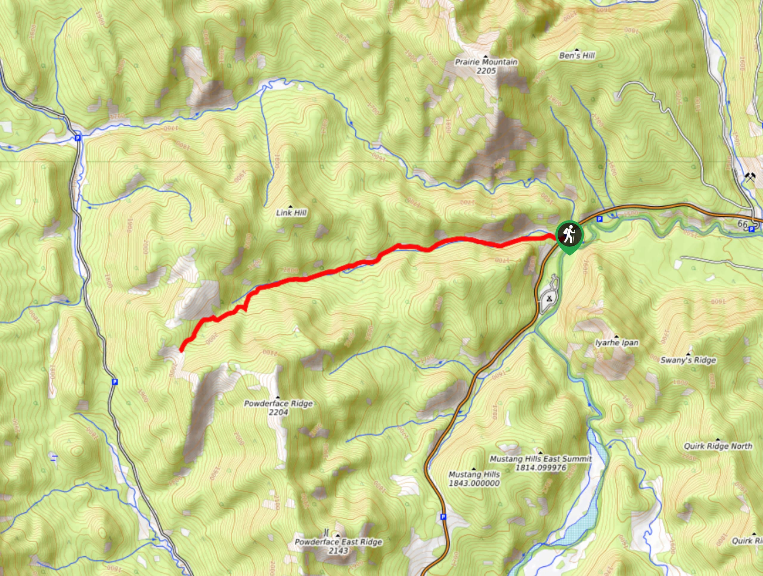
Powderface Creek Trail
The Powderface Creek trail in Kananaskis is a popular hiking, biking, and horseback trail, so be aware of traffic when…

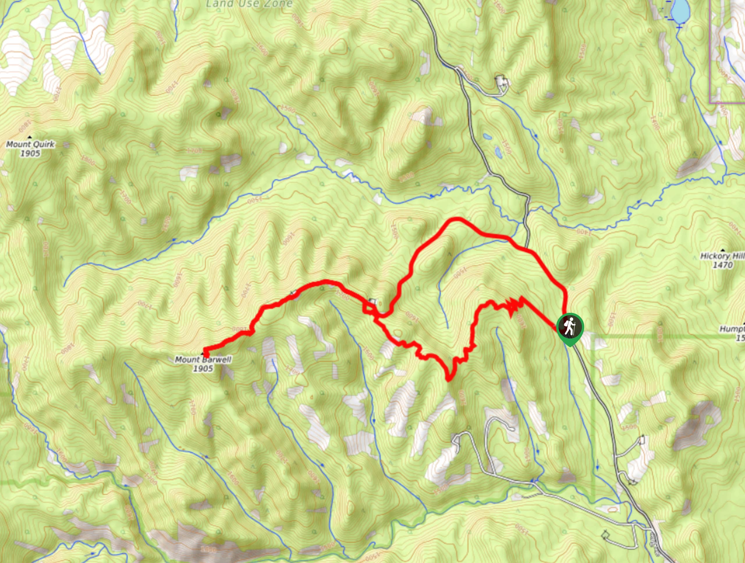
Barwell Trail
Hiking the Mount Barwell Trail is a half to full day effort that is very rewarding. With minimal crowds and…


Comments