Slemenova Špica hike
View Photos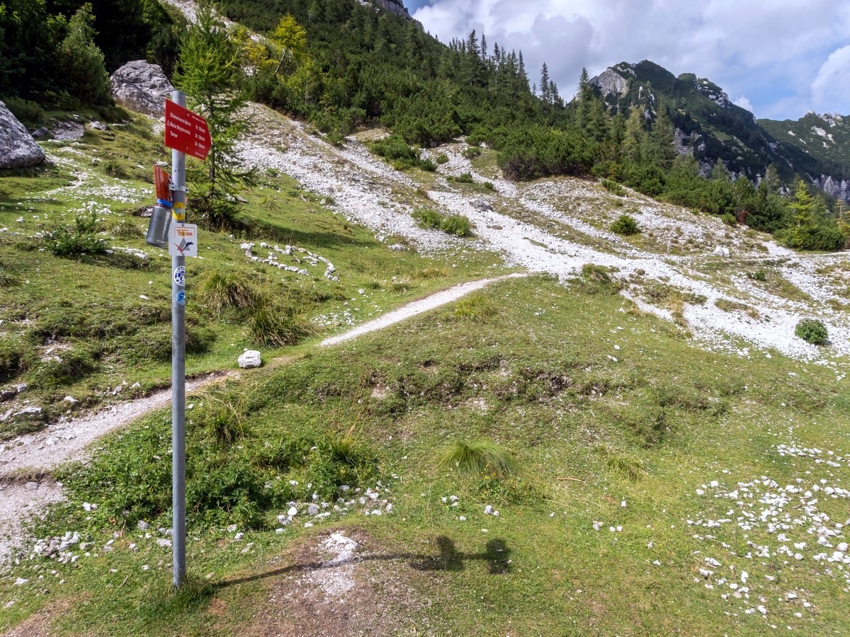
Slemenova Špica hike
Difficulty Rating:
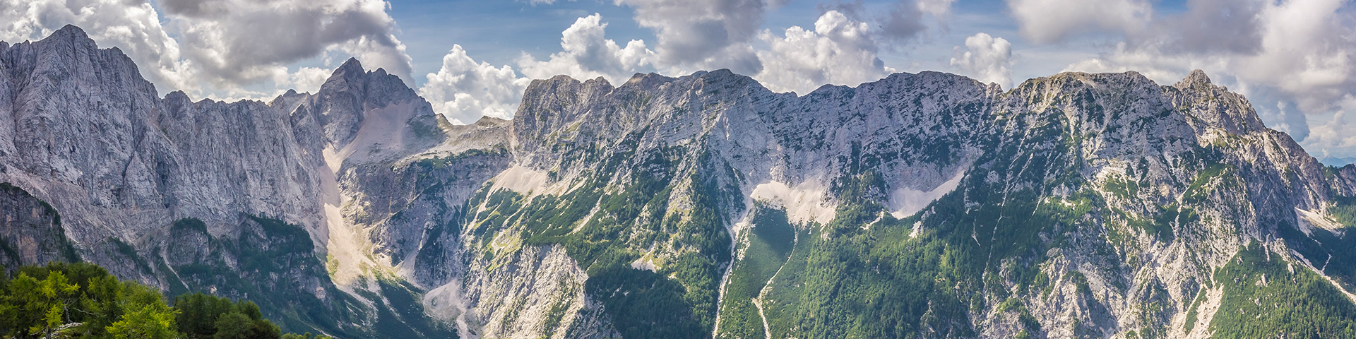
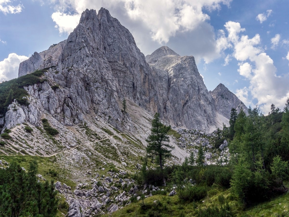
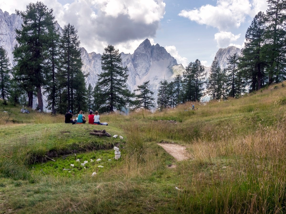
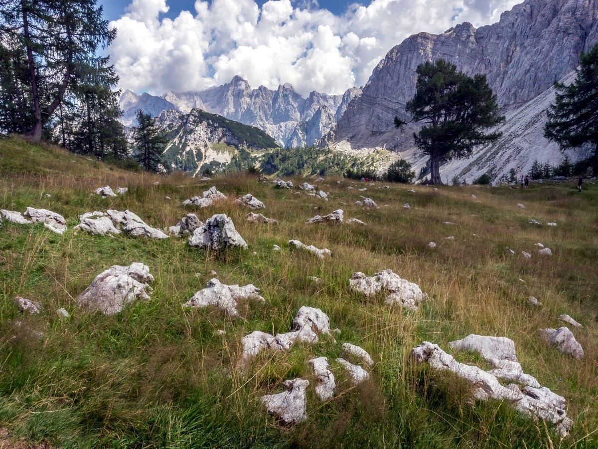
The hike to Slemenova Špica is incredible. Starting from Slovenia´s highest mountain road pass - Vršič - to Slemenova Špica is one of the classic short trails. With quite a small amount of effort, you can feel the presence of high walls and incredible views. The view just before you reach the top of this grassy peak is one of the most photographed shots in Slovenia.
Getting there
From Kranjska Gora take the road south towards Vršič pass. After 7.5mi, park at the top of the pass.

About
| When to do | Spring to fall |
| Backcountry Campsites | No |
| Toilets | Yes, at Tičarjev dom at Vršič pass |
| Family friendly | Yes |
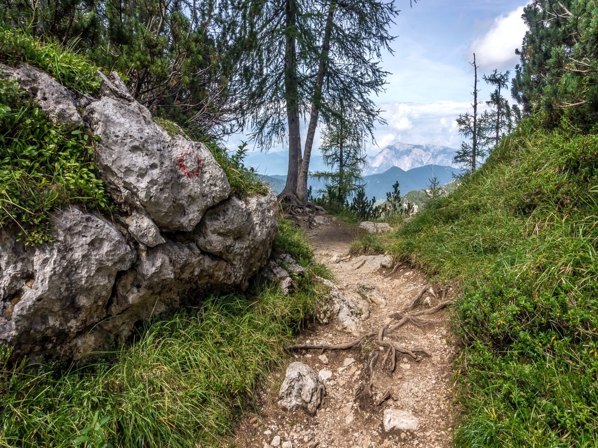
| Route Signage | Average |
| Crowd Levels | High |
| Route Type | Out and back |
Slemenova Špica
Elevation Graph
Weather
Route Description for Slemenova Špica
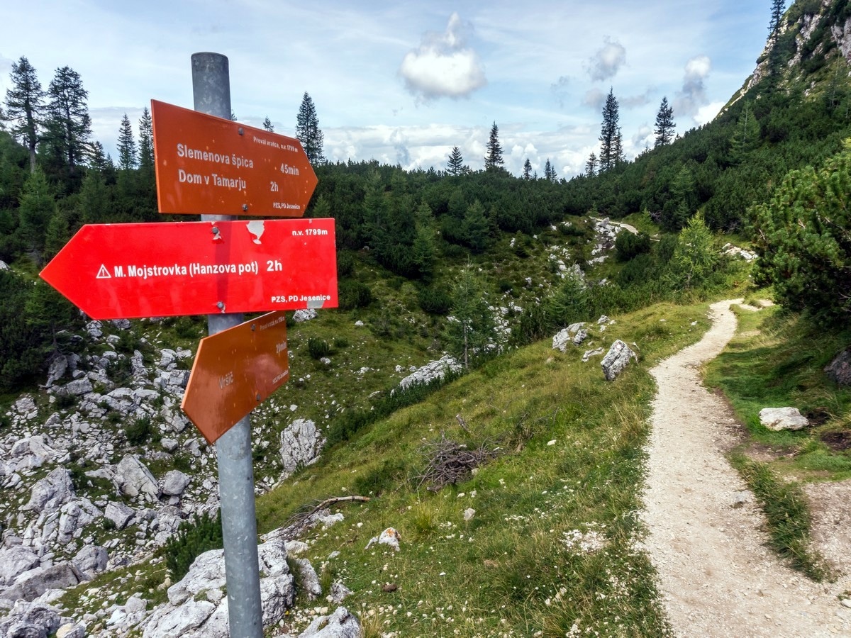
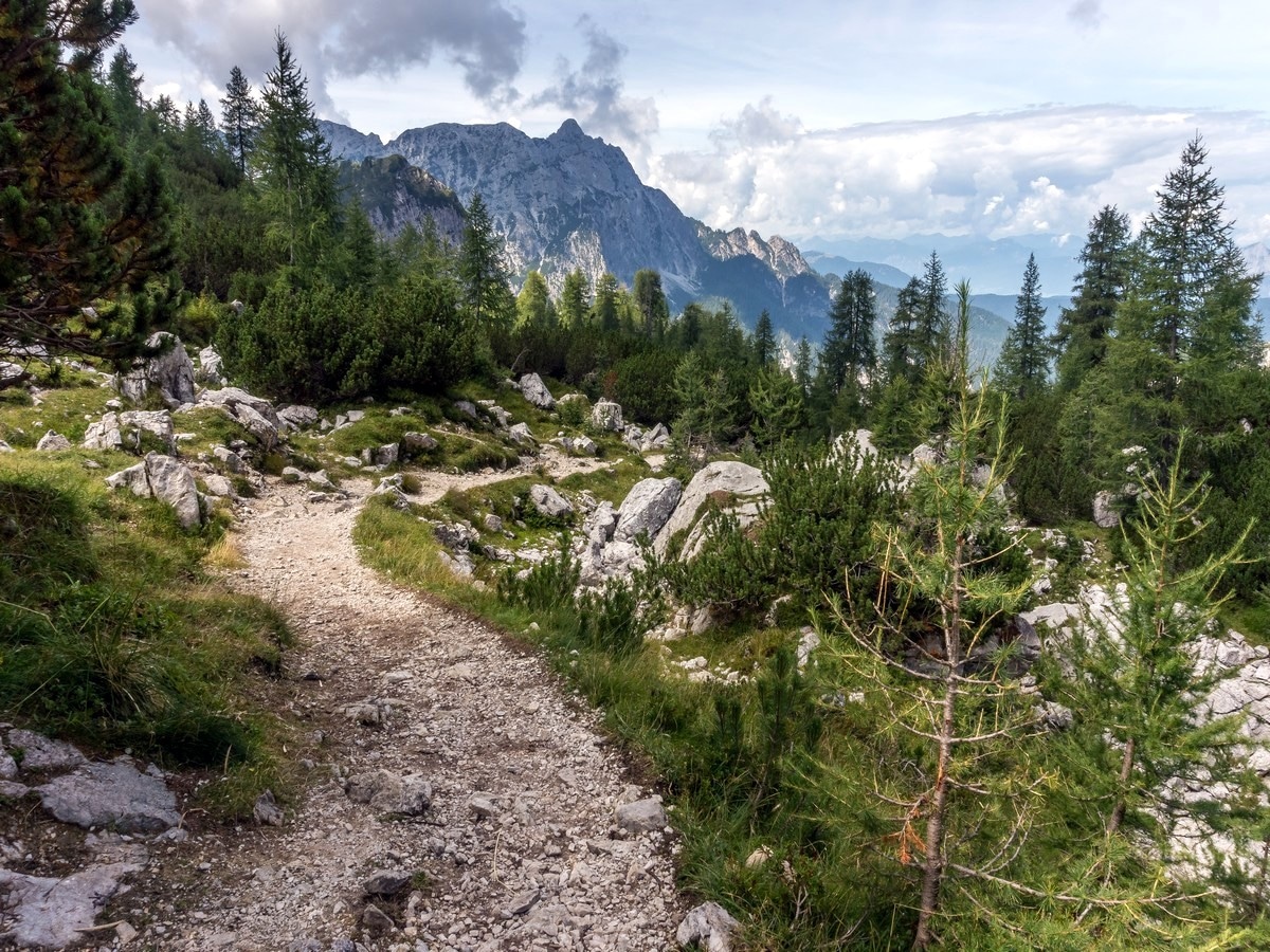
From the top of Vršič pass follow a red sign to the north. The path climbs across the slope at a low grade for about 45 minutes. You’ll walk towards the saddle of Vratca.
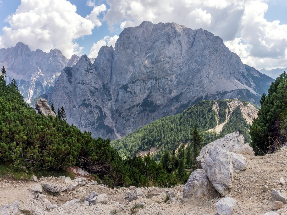
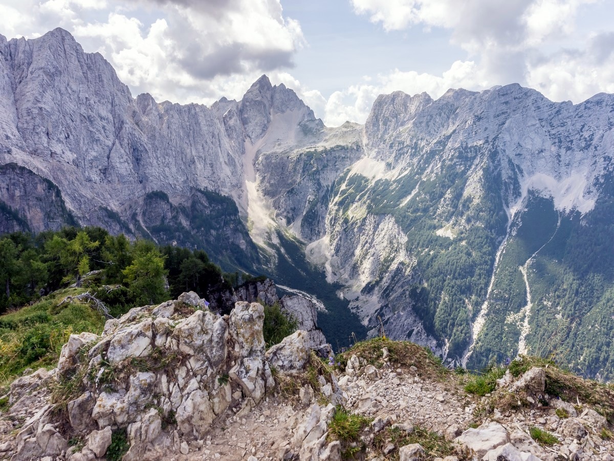
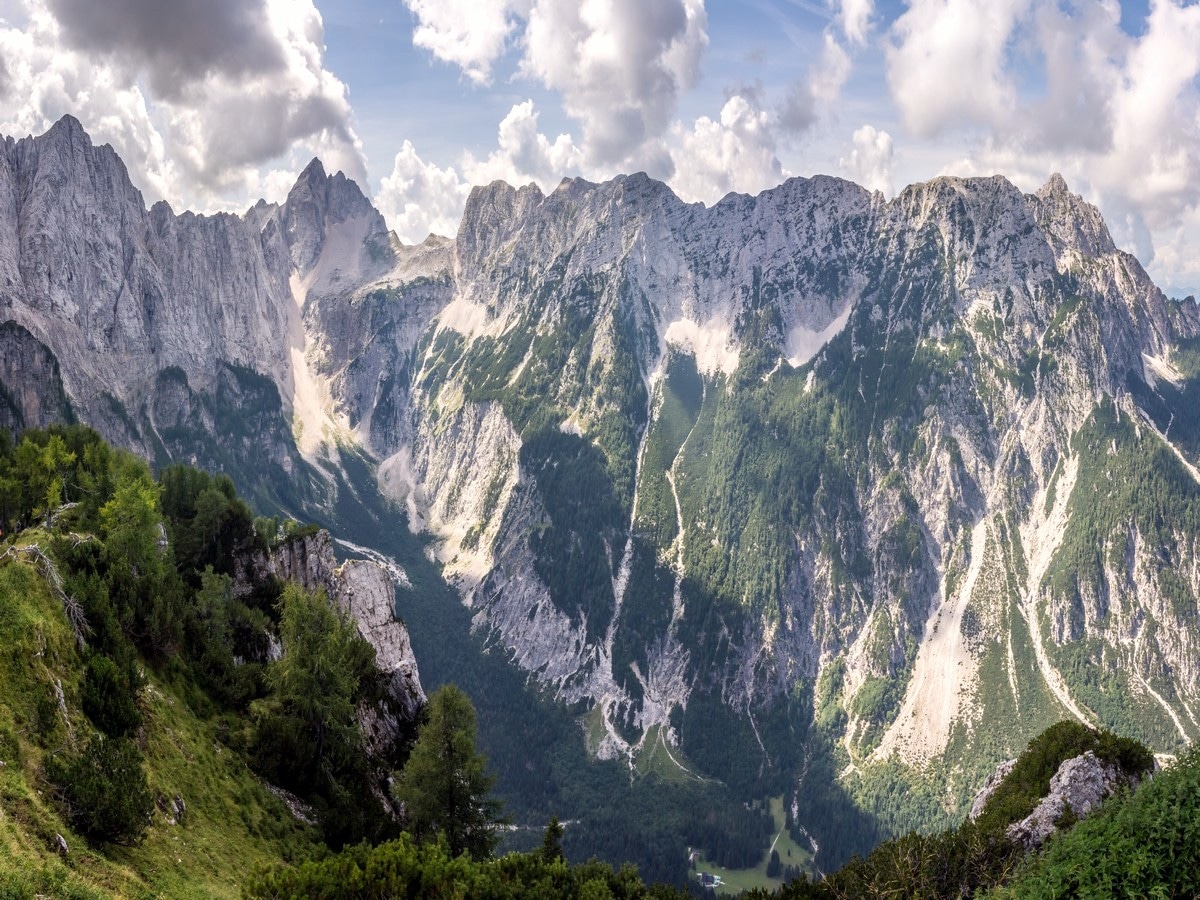
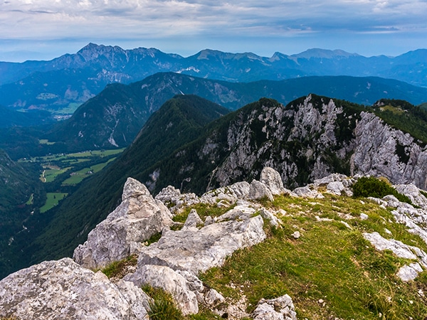
You’ll eventually reach the saddle: at the height of 5928ft. There is a stunning view behind you across the valley on the north face of Mount Prisojnik. Turn right on the saddle intersection towards Slemenova špica.
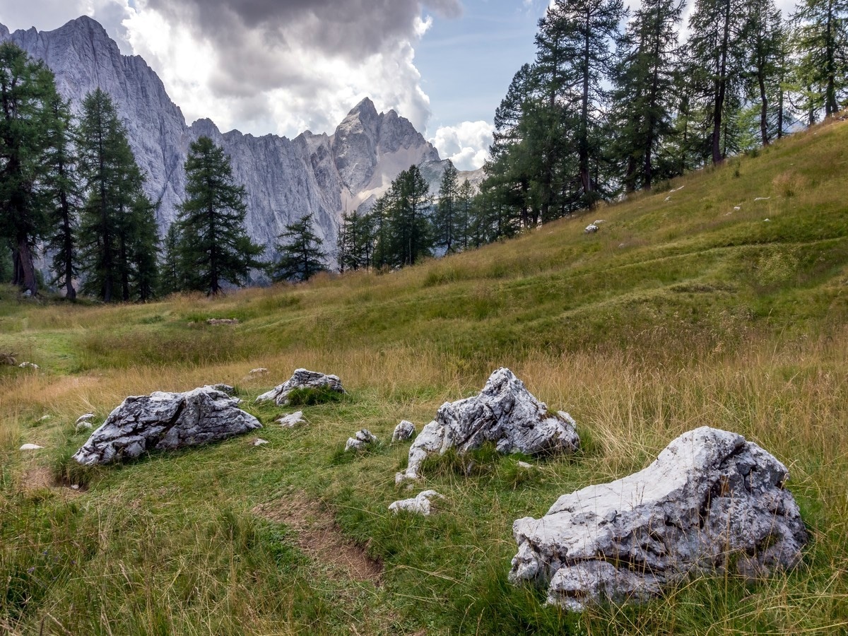
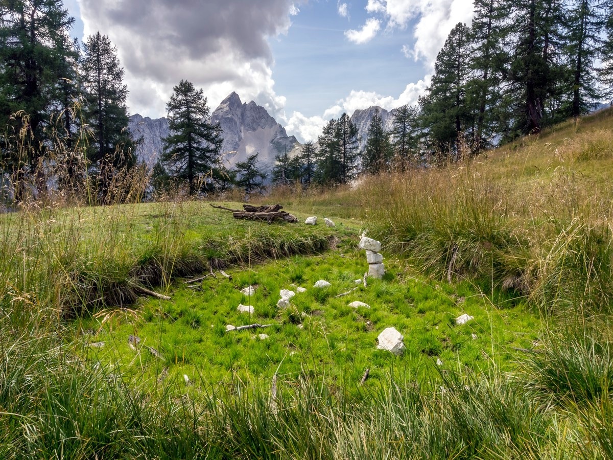
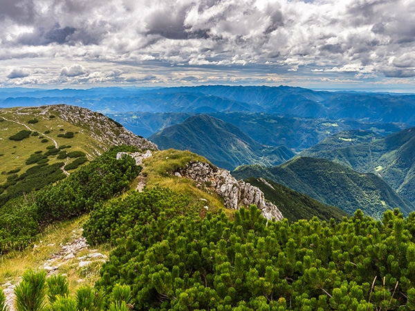
After a few minutes, the path moderately descends to the left and soon you can spot a hairy green peak. Keep to the left at the next intersection (to the right is a path that dips into Tamar valley). After a short climb, you’ll find yourself on a grassy plateau. The view to Mount Jalovec opens up, and on your left, the high walls of Mount Mojstrovka rise up.
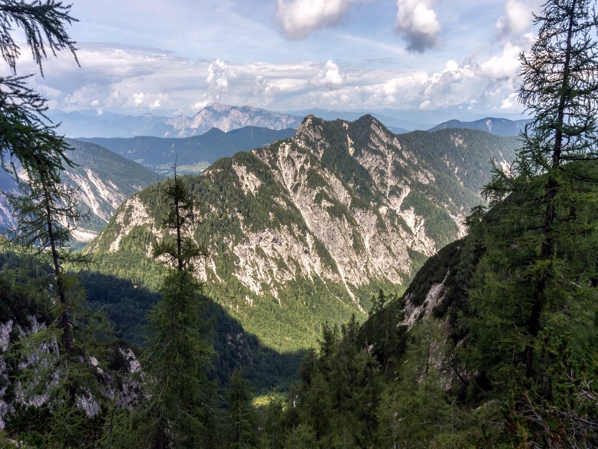
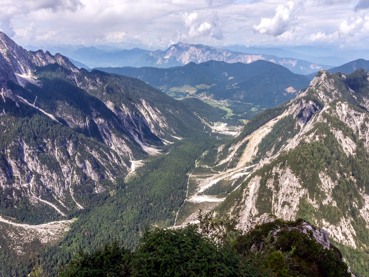
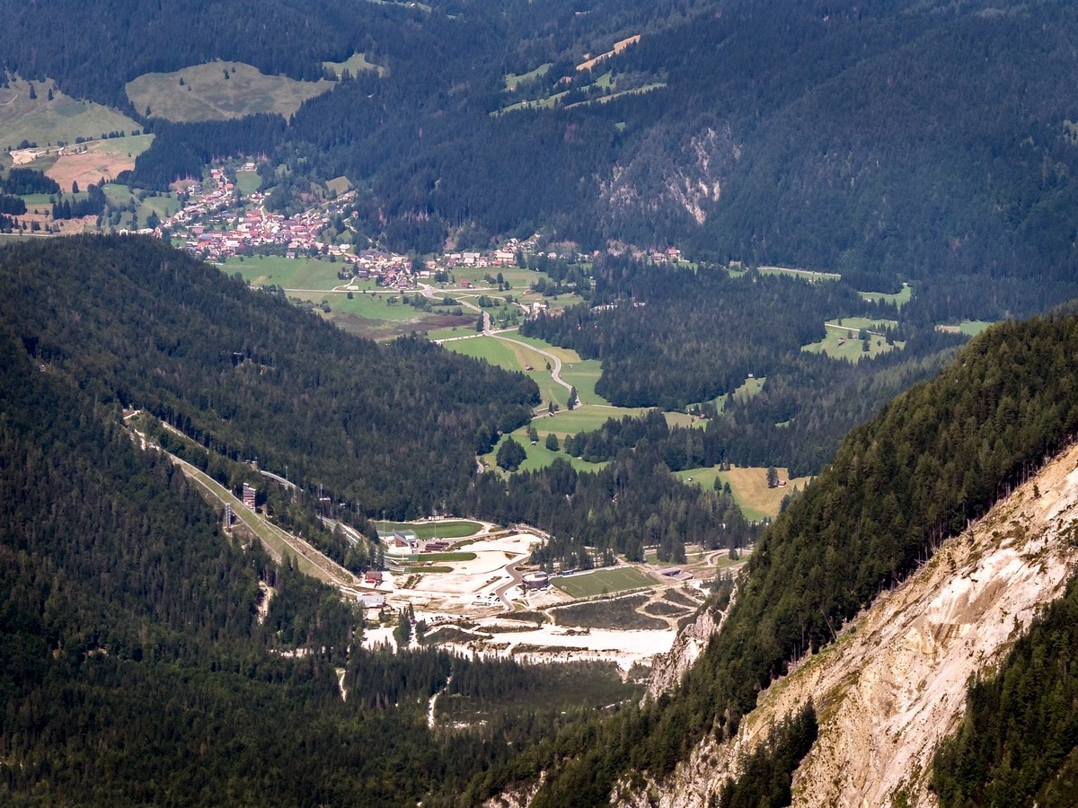
You’ll reach the summit of Slemenova špica by heading west. From this great vantage point you can see all the way down the Tamar valley.
Return the way you came up.
Insider Hints
At the northern end of the Tamar valley, you can spot the Planica Nordic centre, with one of the largest ski jumps in the world. It’s the birthplace of ski flying, which started in 1936.
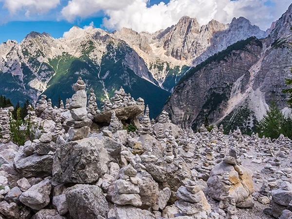
Get to Vršič pass early. During the day, especially in high season, there is a lot of traffic.
There are two small lakes that appear on the grassy plateau below the peak, if there is enough rain.

Similar hikes to the Slemenova Špica hike
The Path of The Pagan Girl
The Path of the Pagan Girl is a short trail around the Vršič pass area and is all about the…
Debela Peč
The Debela Peč hike will take you to one of the most panoramic peaks in the Julian Alps. Mount Debela…
Vogel and Rodica
Taking a hike near Vogel Ski resort is really a must see when hiking around Slovenia´s top natural sites. It…
Andrei G. 4 years ago
Awesome trail. Worth every step. So many views for minimal effort.
Doremi 4 years ago
There are lots of photo opportunity! Make sure to bring your camera.
David P. 4 years ago
This classic hike is jaw-dropping. From left to right you'll find natural beauty you won't find elsewhere.
Rich H. 4 years ago
really gorgeous and amazing. one of those hikes i can actually complete.
Joana Marie 4 years ago
The trail was a great leg workout. Definitely burned some calories along the way.
Maciej W. 4 years ago
the scenery is nice and the hike took me more than two hours
Jen Hollister 5 years ago
Very busy hike, with splendid views throughout! The high walls were remarkable. I highly recommend it.
Louane G. 5 years ago
It was an exciting trek towards the end. There are tons of remarkable views along the way. My 10 year old kid finds it so easy.
Alison H. 5 years ago
We fell in love with the scenery. Did this hike with my boyfriend and we completed it in 2 hours.
Andrew Walls 5 years ago
Busy hike. It's quite a popular destination for family and group hikes.