Mount Tosc hike
View Photos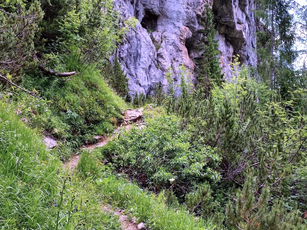
Mount Tosc hike
Difficulty Rating:
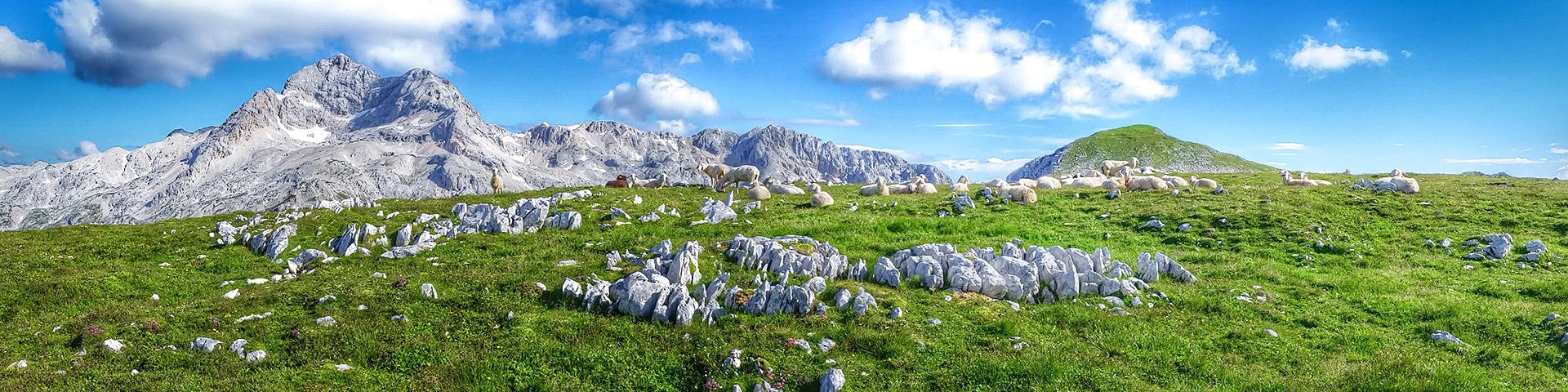
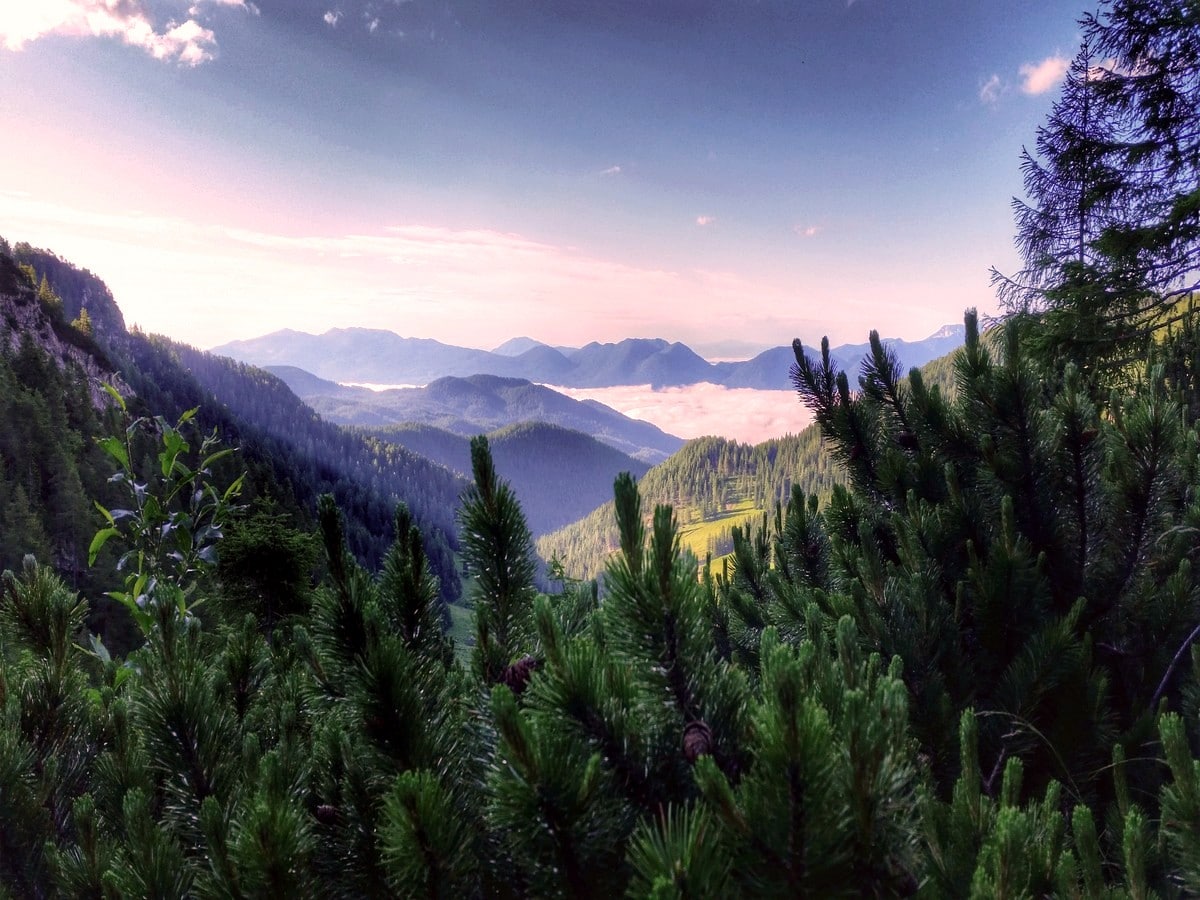
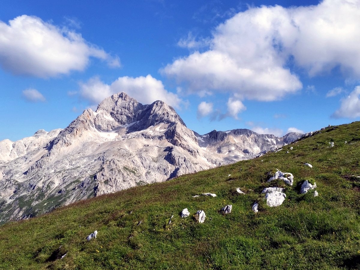
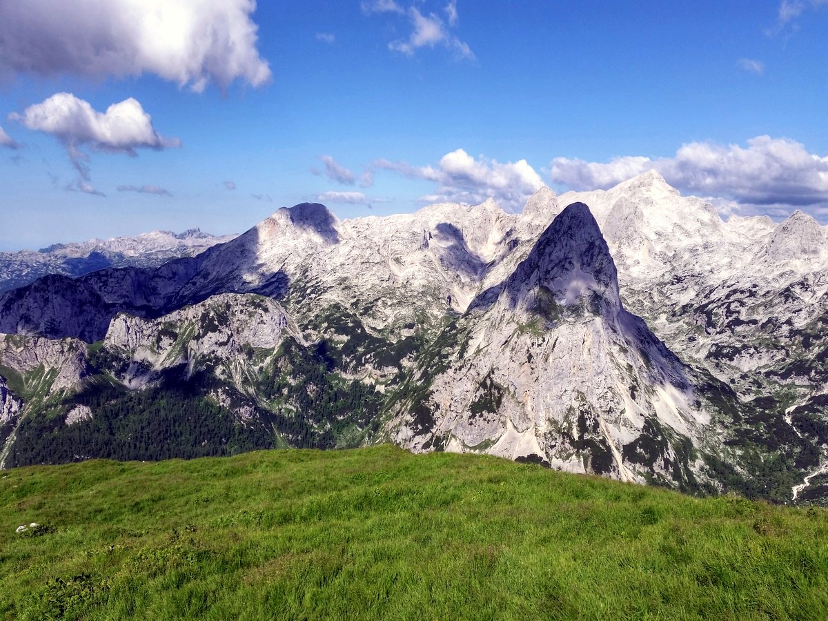
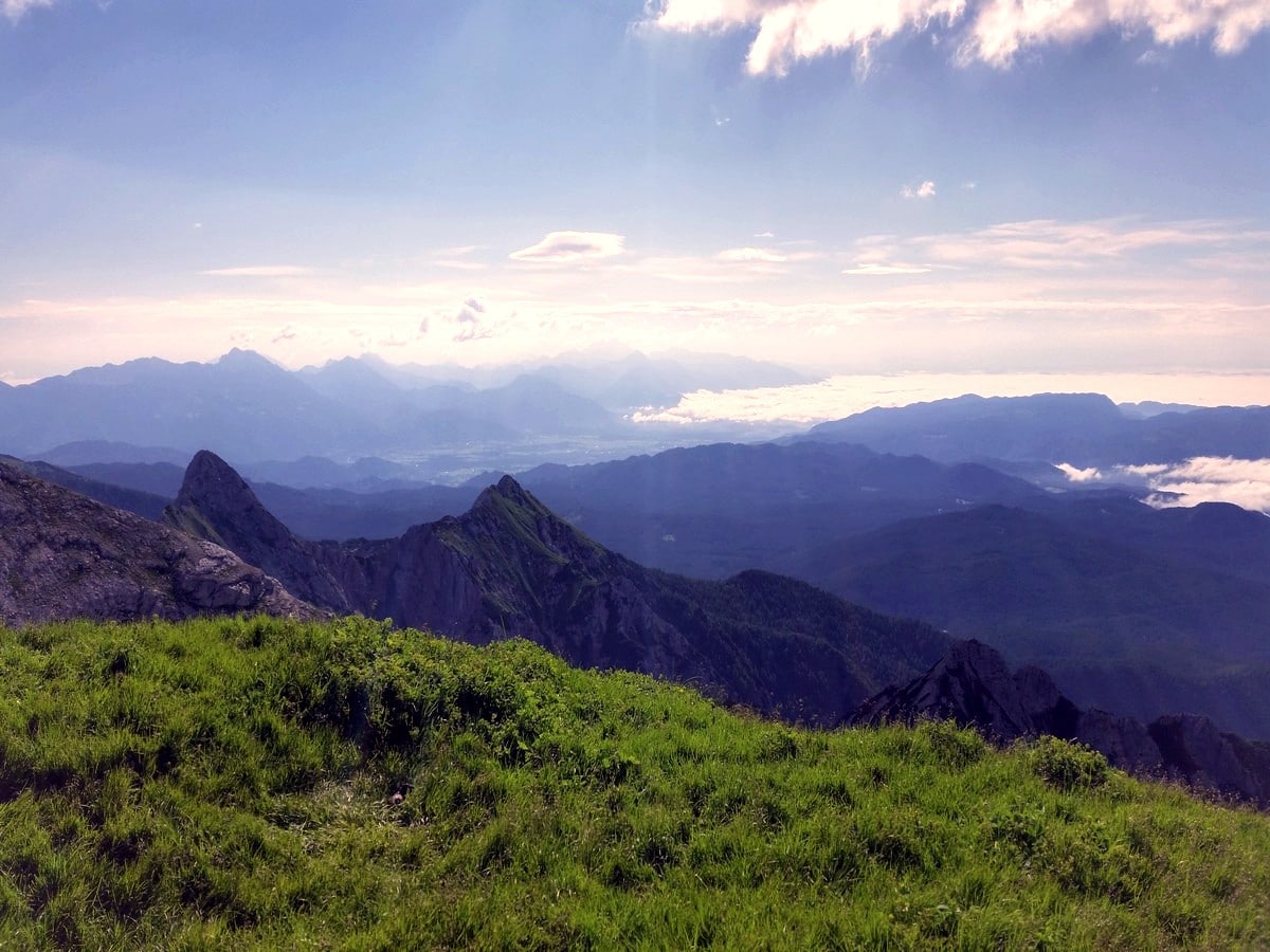
The Mount Tosc walk will take you from Pokljuka’s vast forests to the top of this prominent mountain. Mount Tosc has a steep and airy north face and, on its other side, it has gentle grassy slopes. This awesome trek also has the best view of Mount Triglav’s southern slopes.
Getting there
From Bled, drive 12.4mi towards Zgornje Gorje and Pokljuka. At the military/sports centre at Rudno Polje, turn right onto the gravel road between the buildings. In about 2297ft you will get to a small ski resort. Park on the side of the road.

About
| When to do | Spring to fall |
| Backcountry Campsites | Yes, in Bled |
| Toilets | Yes, at Sports Centre Pokljuka |
| Family friendly | No |
| Route Signage | Average |
| Crowd Levels | Moderate |
| Route Type | Out and back |
Mount Tosc
Elevation Graph
Weather
Route Description for Mount Tosc
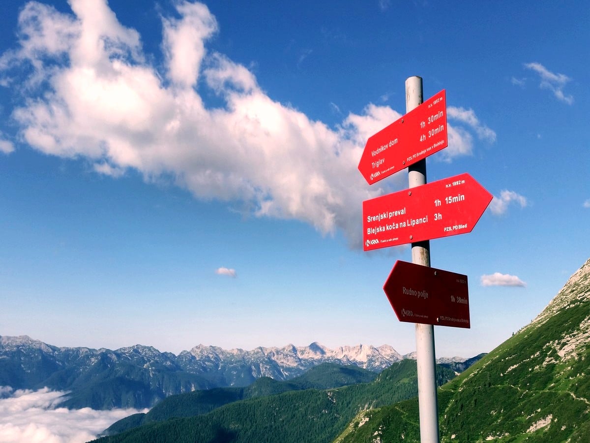
From the parking area, continue onto the gravel, forest road. Follow the marked path that leaves the road to the left. In a few minutes, you will end up on the road again in under 100m. At the junction, turn right on the footpath that is heading in the direction of Triglav.
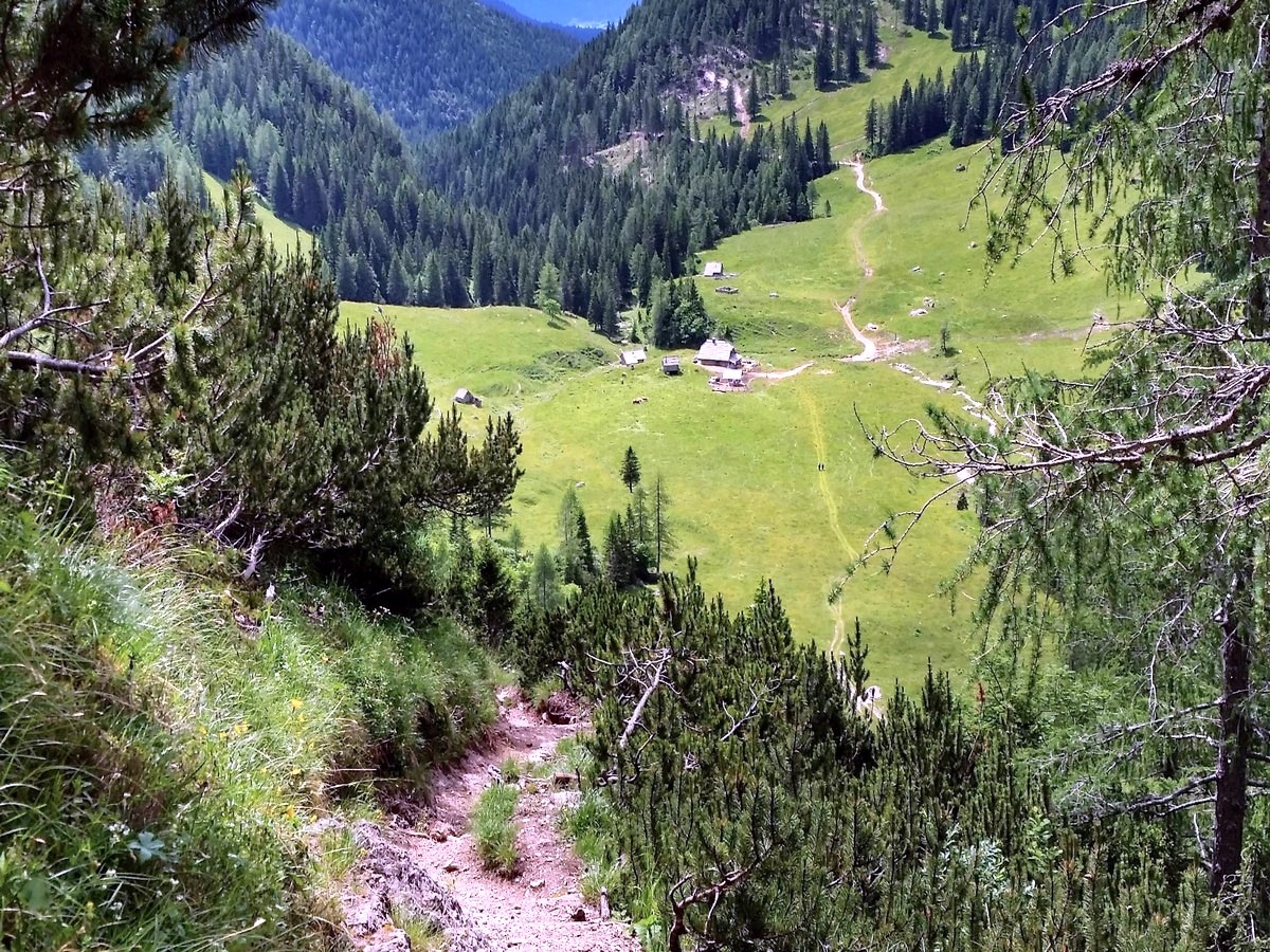
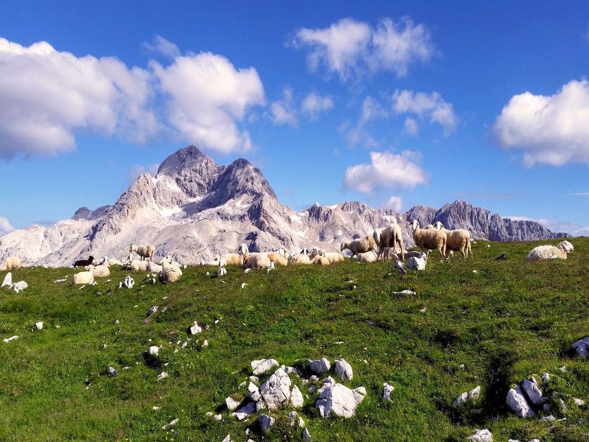
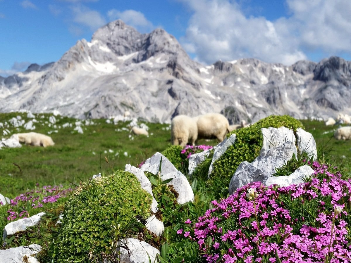
The path switchbacks up the steep southern slope of Plesišče. After the trail flattens, the view to the left, above the meadows of Konjščica pasture, opens up. Soon the path starts to climb again and, after a short rocky climb, you will eventually reach the Jezerca plateau. Take a quick break and inhale the fresh mountain air.
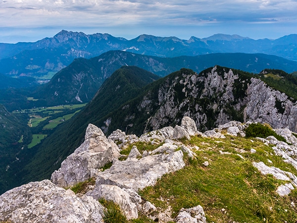
Surrounded by the high peaks of Viševnik, Veliki and Mali Draški vrh, you’ll continue to the left. Head in the direction of Triglav and Studorski preval.
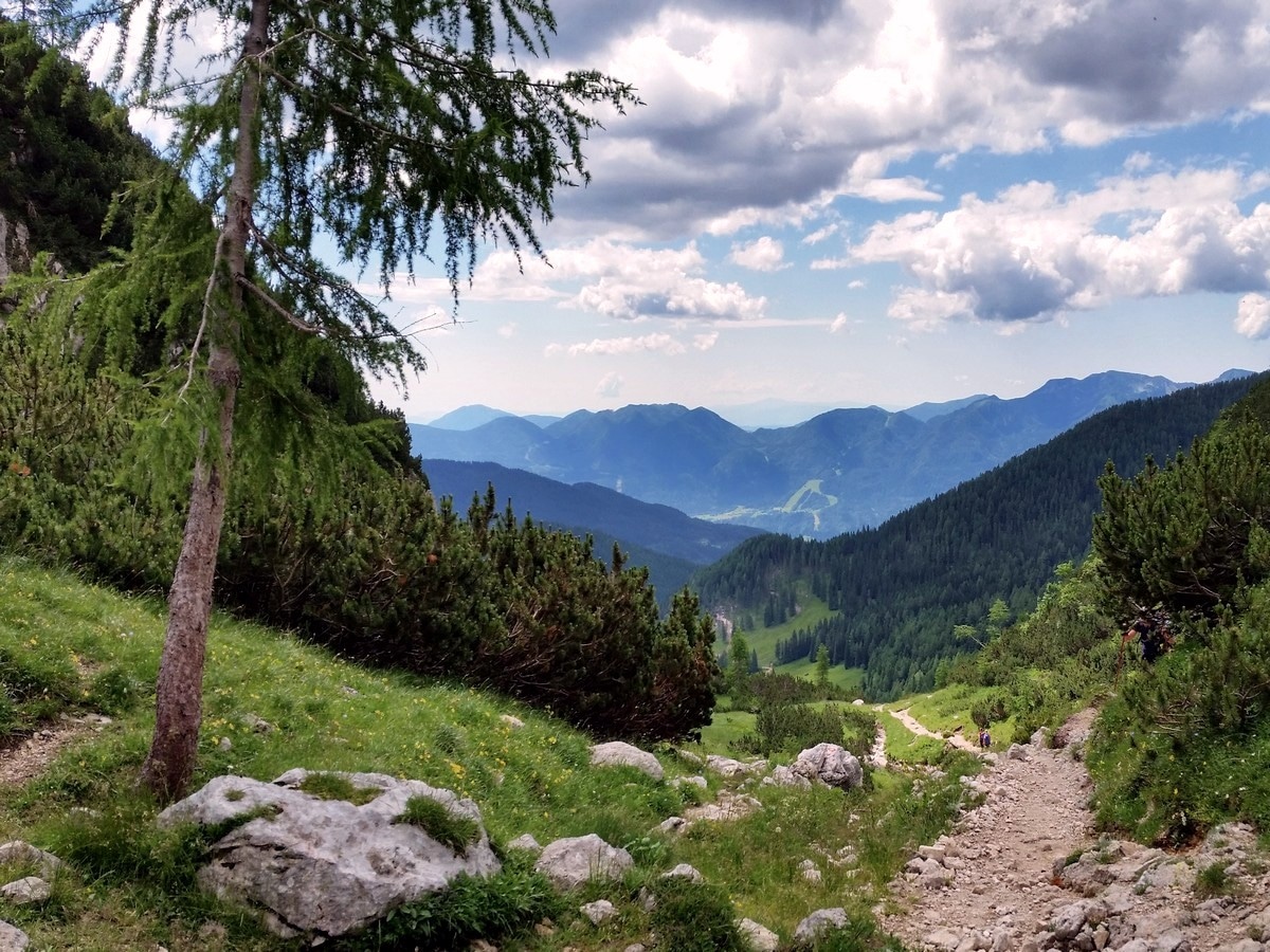
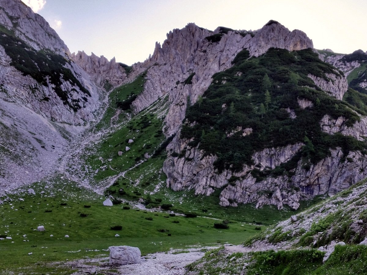
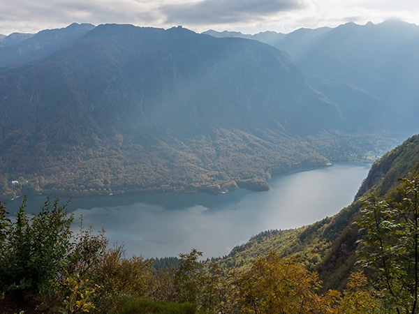
Eventually, you’ll cross the Jezerca plateau, and the path will climb up the torrent (stream). You’ll have great views of the Bohinj lakeside once you crest the next saddle. Alternatively, you can scramble up to Veliki Draški vrh peak to the right.
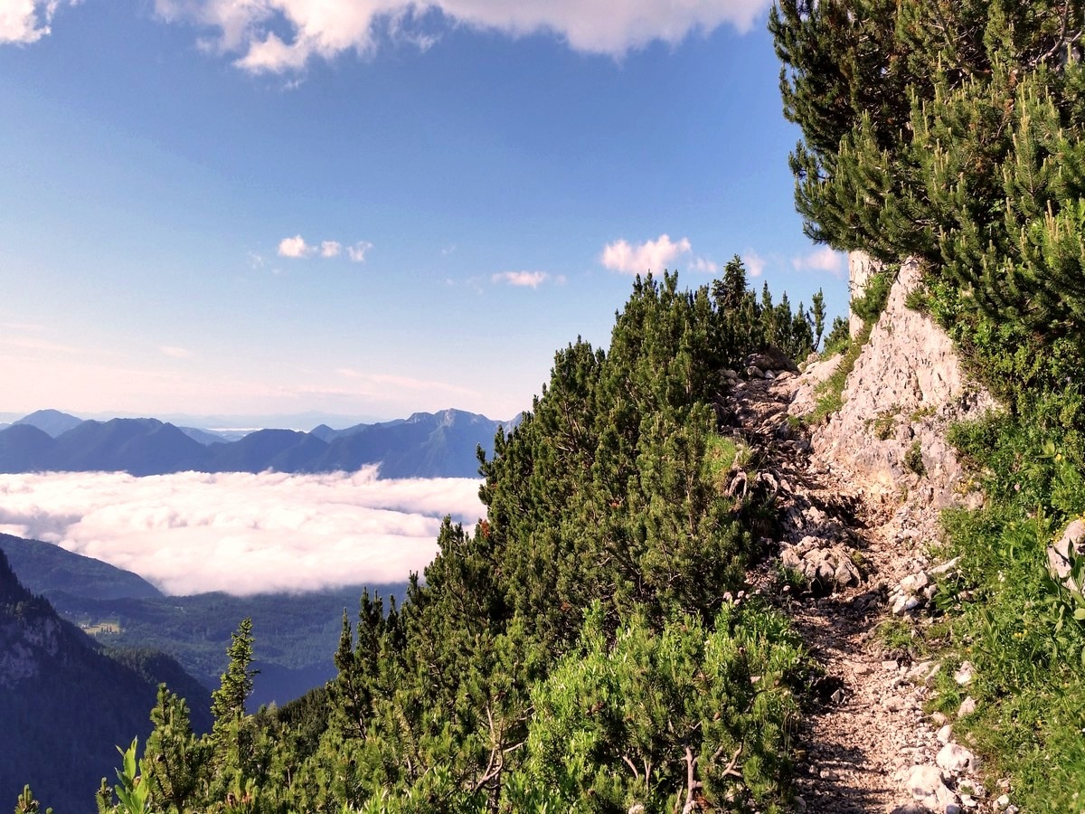
From the saddle, you’ll descend a few metres in the direction Vodnikov dom and Triglav. Your path will cross the south slopes of Mount Veliki Draški vrh. Eventually, you will exit the forest and find yourself at the barren southern slopes of Tosc.
Turn right onto the unmarked path (a large stone will be marked with your path!). The steep path reaches a plain ridge. Soon, you will turn a bit to the right, and then – all of the sudden – you can see your goal: the peak of Tosc.
After a short dip, the path will begin to climb to the top of Mount Tosc. Sit down on some soft mountain grass, eat your snacks, and enjoy the majestic view.
Return the same way to get back to your car.
Insider Hints
You can make a stop at the Vodnik lodge at Velo Polje pasture to get some food and drink. From the top of Tosc descend back to the crossroads (below the southern slope and before you enter the forest) and continue to the right in direction of Triglav. You will get to the lodge in about 40 minutes.
In foggy weather orientation can be difficult on top of Tosc. Notice that there is only one path up and one path back.

Similar hikes to the Mount Tosc hike
Debela Peč
The Debela Peč hike will take you to one of the most panoramic peaks in the Julian Alps. Mount Debela…
Bohinj Pastures Route
The Bohinj Pastures Route is a long but pleasant walk that will take you to six traditional cheese production farms…
Komna and Lanževica
The hike to Komna and Lanževica is a wonderful day out. As you hike around the area surrounding the Komna…
Andrei G. 4 years ago
The views from the peak are otherworldly. Some sections were too rocky, better wear some nice shoes.
Audrey Osullivan 4 years ago
Great views and interesting trail
Jakob F. 4 years ago
Fantastic views all around and Beautiful nature
Petr Vanchek 4 years ago
A fantastic tour, from the top a wonderful view of Triglav and the surrounding peaks
Maciej W. 4 years ago
the Elevation wasn't easy to get up but it was rewarded with the panoramic view
wakandaforever 5 years ago
Stunning grassy slopes. This one will take your breath away, literally and figuratively.
Celia P. 5 years ago
Great hike and not very touristy, unlike previous hikes I've done before.
Popol H. 5 years ago
Steep hike with pretty grassy slopes. Despite being high, it's not as difficult as I expected.
David P. 5 years ago
This is a fantastic hike in the Julian Alps. It requires a little more energy than others, but it definitely paid off in the end!
Rich H. 5 years ago
awesome views.. it was really hard because of the steep slopes and switchbacks.