


Nigel Pass hike
View PhotosNigel Pass hike
Difficulty Rating:
Hiking to Nigel Pass is a rewarding day hike in the Columbia Icefield area. Nigel Pass is an open meadow with spectacular views into the backcountry of Jasper National Park. This hike is a great trail near the Columbia Icefield Discovery Centre.
Getting there
From Lake Louise, go west on the Trans-Can Hwy and take the Icefields Parkway (93N). Drive 70.2mi north; turn right onto a small driveway with signs for Nigel Creek. Park near the trailhead kiosk. From the north, the trailhead is 8.1mi south of the Columbia Icefield Discovery Centre.
About
| When to do | July to September |
| Backcountry Campsites | Yes, 3.5km past the pass |
| Toilets | Yes, 2km down the trail |
| Family friendly | No |
| Route Signage | Average |
| Crowd Levels | Low |
| Route Type | Out and back |
Nigel Pass
Elevation Graph
Weather
Route Description for Nigel Pass
From the Nigel Creek parking area, the first 1.1mi of the hike follows an old road – the Wonder Road – which was the original Icefields Parkway. This single-track, gravel road was used until the early 1960’s, when it was upgraded and realigned to the route it travels on today. This section is still used by Parks Canada vehicles to access a warden cabin nearby, so it is smooth and easy hiking.
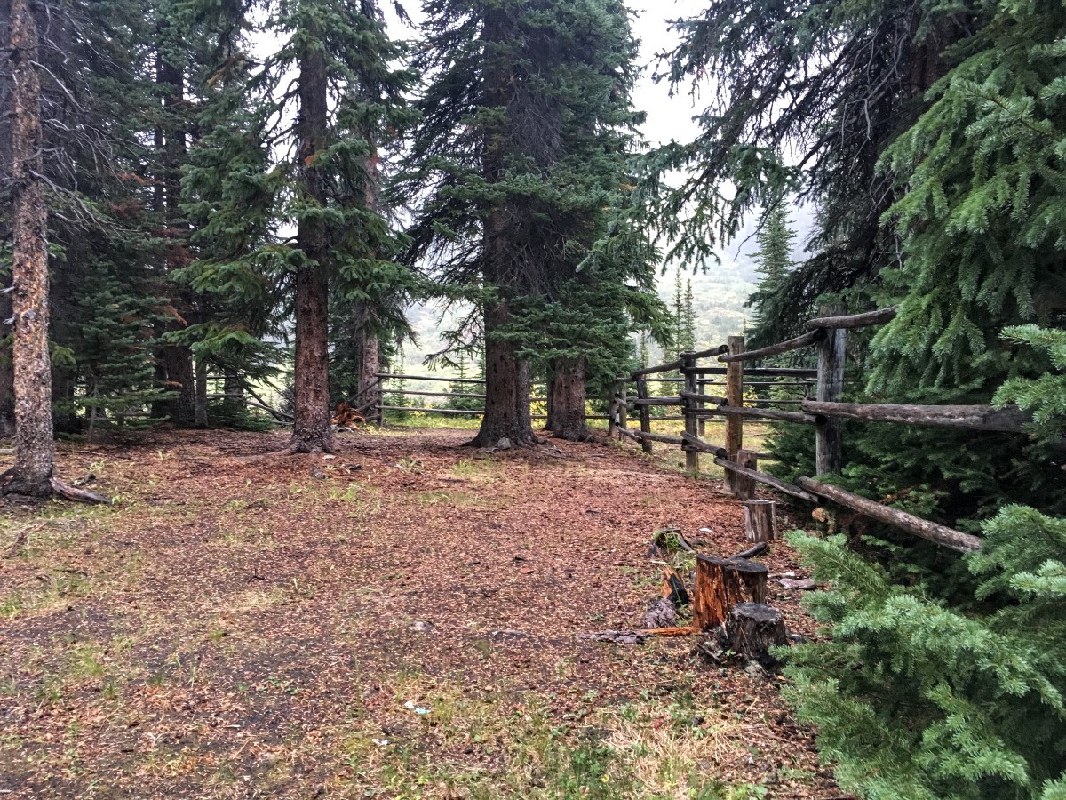
At approximately 0.8mi past the trailhead, an old horse corral sits between the road and the creek. As an access point to the Jasper backcountry, this would have been a staging area for early outfitters to prepare for their pack trips. Everything was constructed from resources available on hand, mainly lodgepole pine logs, although Parks Canada has since added picnic tables and a fire ring.
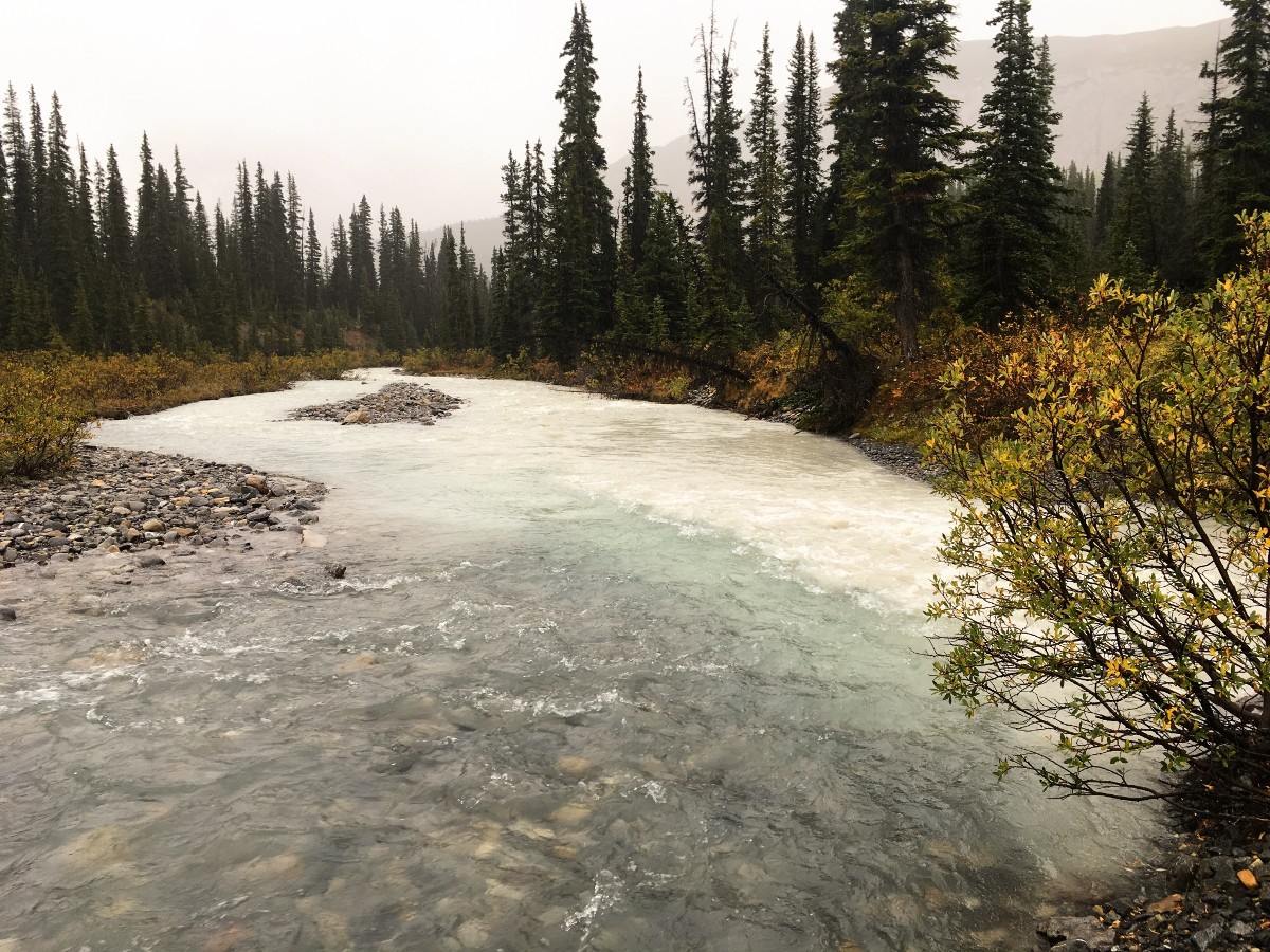
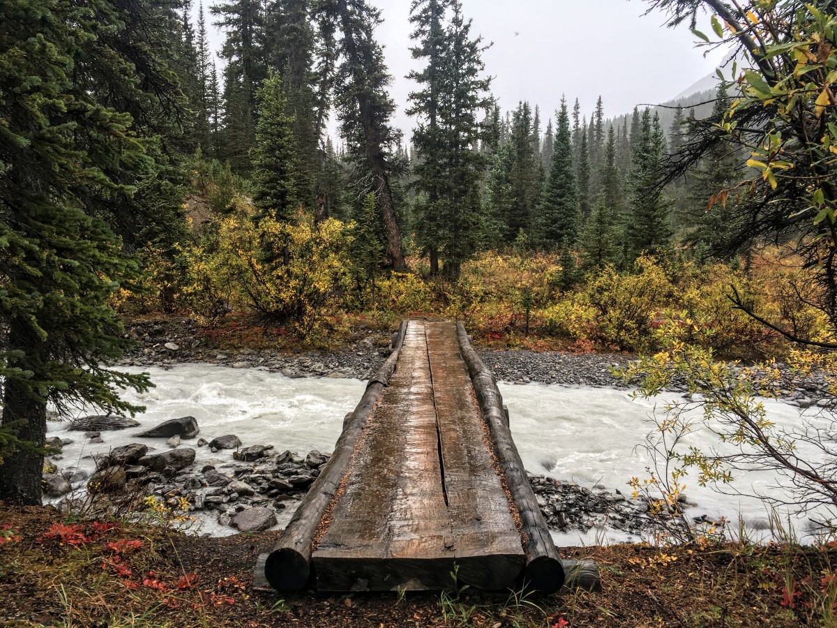
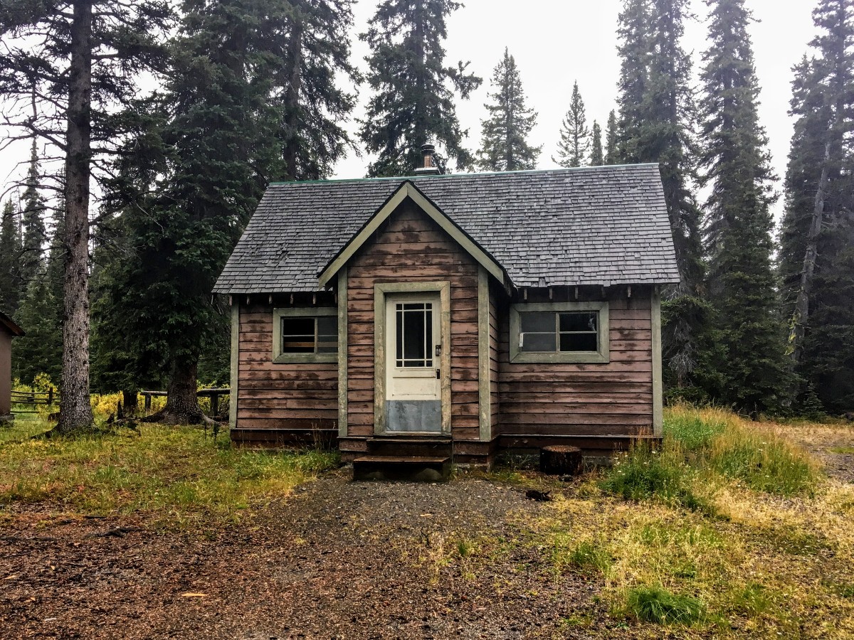
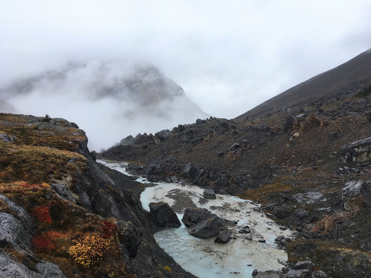
After hiking 1.1mithe road splits. Take the right-hand fork downhill to the yard of a park warden cabin. Like most park warden cabins, this is currently disused. Follow the trail to the north of the cabin. You’ll hike down a short steep slope, bringing you to the confluence of Hilda Creek and Nigel Creek. Cross both creeks on the bridges (a horse trail follows the north bank of Nigel Creek, but the hikers trail stays on the south side). The clear waters of Nigel Creek contrast starkly with the silt-laden Hilda Creek – its glacial source is only 3.1mi from here. The fast current doesn’t allow any of the rock flour to settle. Nigel Creek however, is fed by rain and snowmelt, running relatively clear.
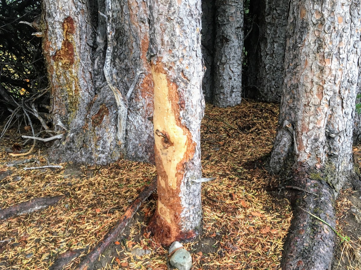
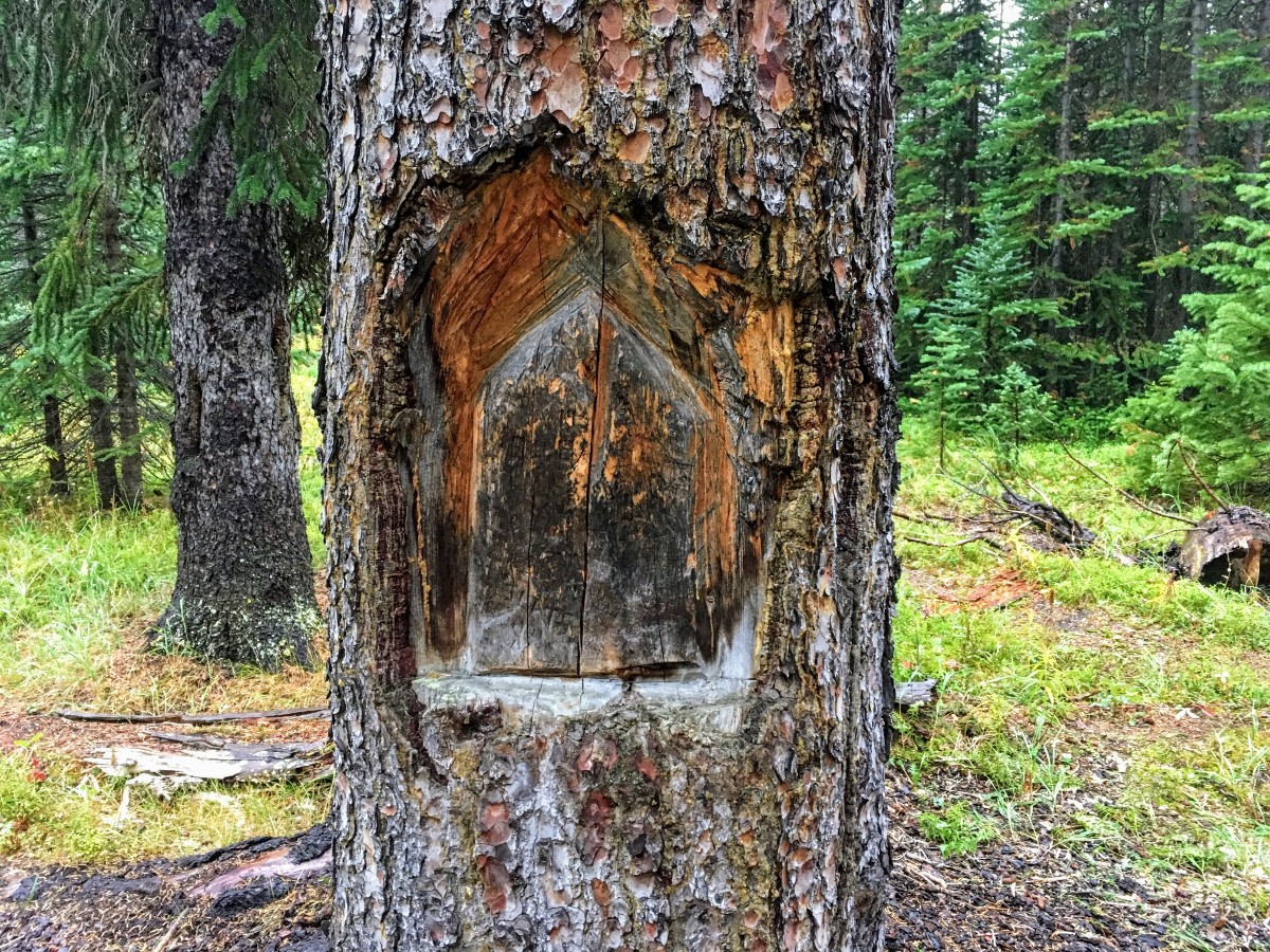
Once you’ve crossed the creeks, the hiking trail climbs up a short embankment to the site of Camp Parker. First Nations hunters – well before the arrival of Europeans – used this site as a campsite, and then travellers on the Wonder Road would use it. When the Icefields Parkway opened in 1941, the journey from Lake Louise to Jasper took at least two days. This already established campsite was an ideal spot near the halfway point of the highway. Most of the tree carvings date from this period. The view west from here displays the horns of Mt Athabasca and its outlier, Hilda Peak.
Hike uphill above Nigel Creek through a mixed spruce and fir forest. The path then levels out as you cross open avalanche slope among shrubs and willows. Two creeks flow down this drainage, which you must pick your way across carefully on rocks and logs.
You may still be able to hear traffic on the Icefields Parkway, but this area is the domain of bears. Make lots of noise on the trail. Make sure you have your bear spray, and ideally hike in a group!
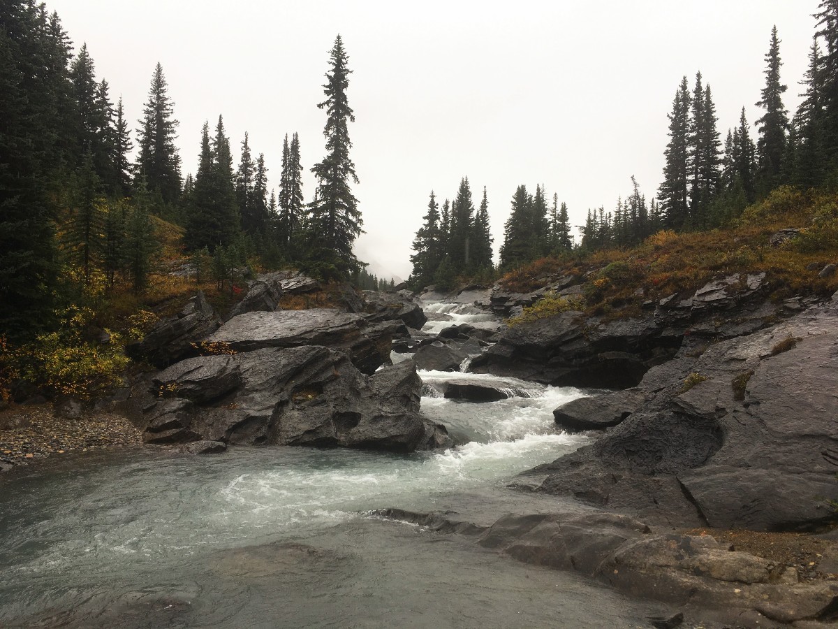
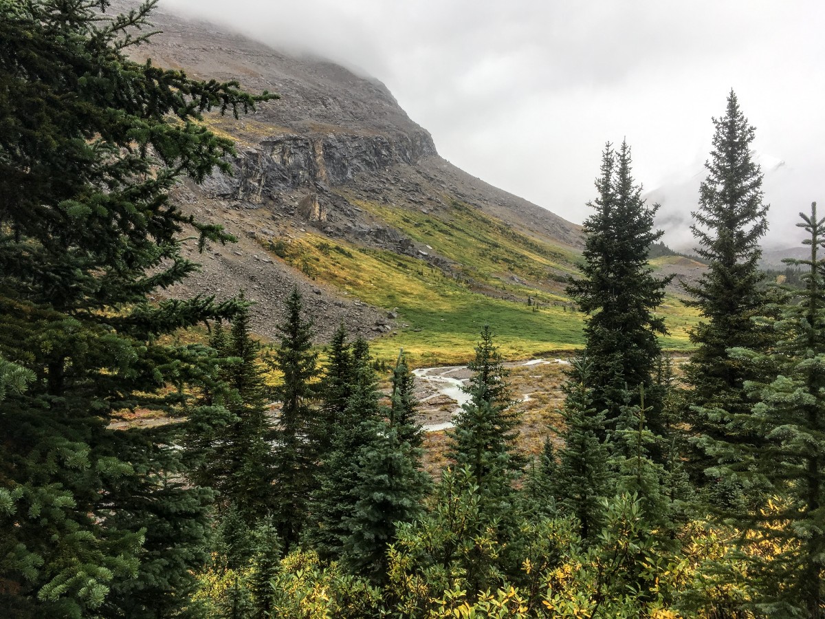
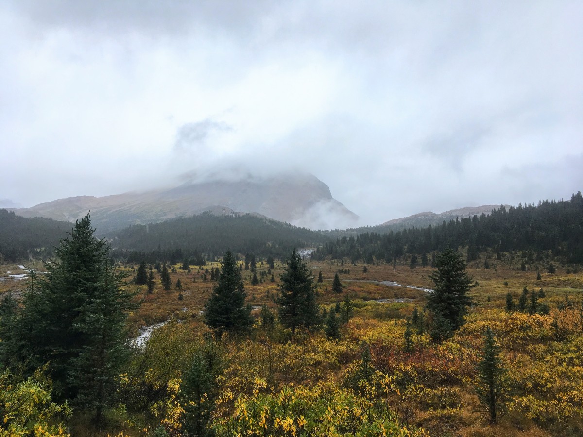
Just after you re-enter the trees, a short side trail takes you to a small waterfall – a large rapid really – on Nigel Creek. After a few more gentle sections of uphill, you’ll emerge from the trees into the meadows around the headwaters of Nigel Creek. To the left are the cliffs on the south face of Nigel Peak, the meadows below are an ideal grazing habitat for bighorn sheep. The next 0.9mi is flat, easy hiking with expansive views across the valley and up to Nigel Pass ahead.
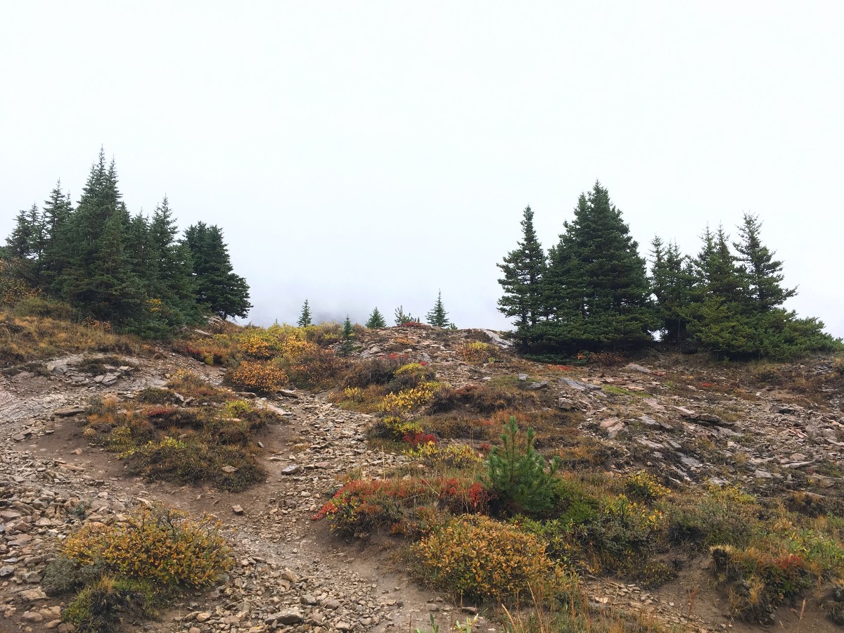
The trail is heavily braided due to the high amount of horse traffic in the past – now diverted to the trail on the other side. When the trail starts to climb again, you are almost at Nigel Pass. The last kilometre hikes up a steep, eroded trail, gaining 394ft of elevation to Nigel Pass. This is the only time you’ll be out of breath on this hike.
Nigel Pass is a craggy limestone bluff overlooking the Brazeau River, straddling the border of Jasper and Banff National Parks. The flat limestone face of one of Cirrus Mountain’s outlining ridges makes an impressive backdrop. To the southeast is Cataract Pass, to the northwest massive limestone cliffs support the ice clad summit of Nigel Peak. For extra views, you can continue north along the Brazeau River (cross directly below the pass) for 0.2mi and admire the wild and rugged Brazeau valley in the southeast corner of Jasper National Park.
Return along the same trail you hiked in on.
Insider Hints
The outhouse at the Warden Cabin is open if you need a mid-hike pit stop.
If there is or has been rain forecast, pack rain pants. Walking through the wet willows ensures that your pants will be soaked in no time.
To make it a quicker journey, bring a bike and cycle to the warden cabin, then hike 3.7mi from there.
Similar hikes to the Nigel Pass hike
Glacier Lake
The relatively flat Glacier Lake trail is commonly used by backpackers; however, it makes for an excellent day hike. Whether…
Sarbach Lookout
Hiking to Sarbach Lookout is a great way to cleanse your palate after walking through the crowds at Mistaya Canyon.…

Katherine Lake
Hiking to Katherine Lake will take you beyond the famed Helen Lake through fields of wildflowers beneath gigantic peaks. It…


havedogwillhike 5 years ago
kinda long but not much elevation to be gained, so it's pretty reasonable for a slightly longer hike. really great views and hardly any other people!
JohnCan 5 years ago
It's amazing how you can get a good view of Jasper National Park from here.
Greenlife 5 years ago
The rain poured for a while before we started, but it didn't stop us from conquering Nigel Pass!
Hiking-eh 5 years ago
I loved this hike! Definitely worth the effort.
Uzma Hasaam 5 years ago
It was a great moderate hike! The mixed spruce and fir forest look incredible!
FellWalker 5 years ago
Nigel pass has a unique beauty of nature. Overlooking views are wonderful.
Tomcote 6 years ago
Excellent place at such a height.
Jackson C. 6 years ago
It felt very different from the other hikes we did before. But it's awesome.
hannahthorns 6 years ago
Beautiful views! The trail is not real difficult for a beginner.
Ken89 6 years ago
Low elevation gain, beautiful area