High and Star Dune Loop
View Photos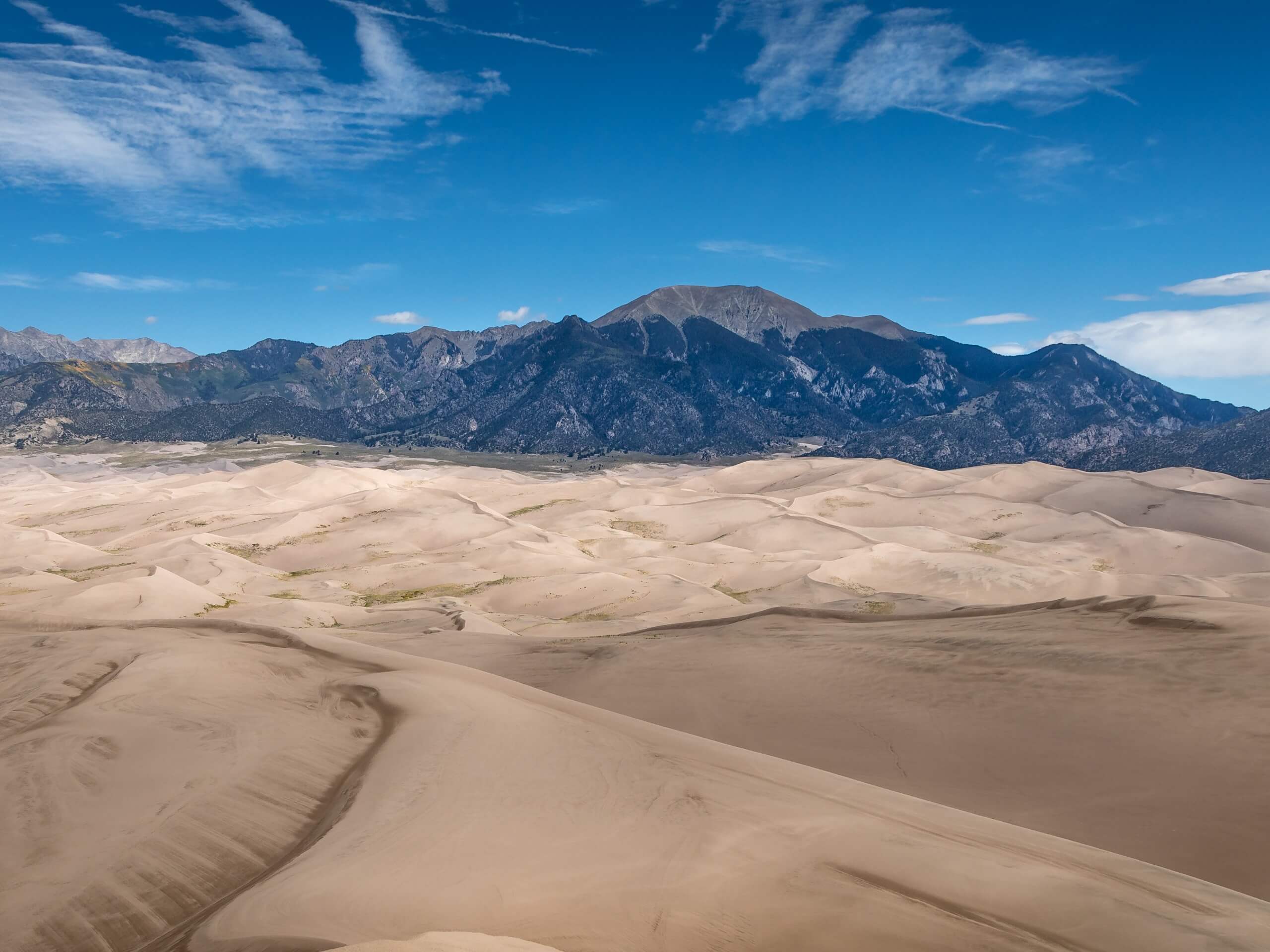
High and Star Dune Loop
Difficulty Rating:
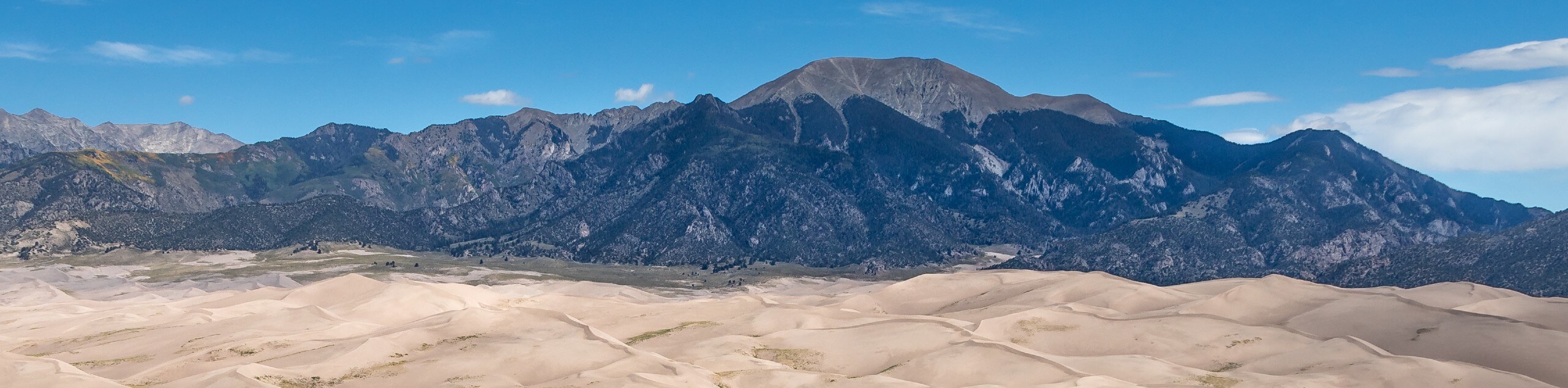
The High and Star Dune Loop’s beauty is unparalleled. Located in the Great Sand Dunes National Park, this adventure climbs up the highest dunes in North America. Exhibiting the grandeur of other-worldly terrain, this trek also reveals the distinct contrast between Colorado’s topographies—from the snow-capped Rockies to the sandy rolling dunes.
Getting there
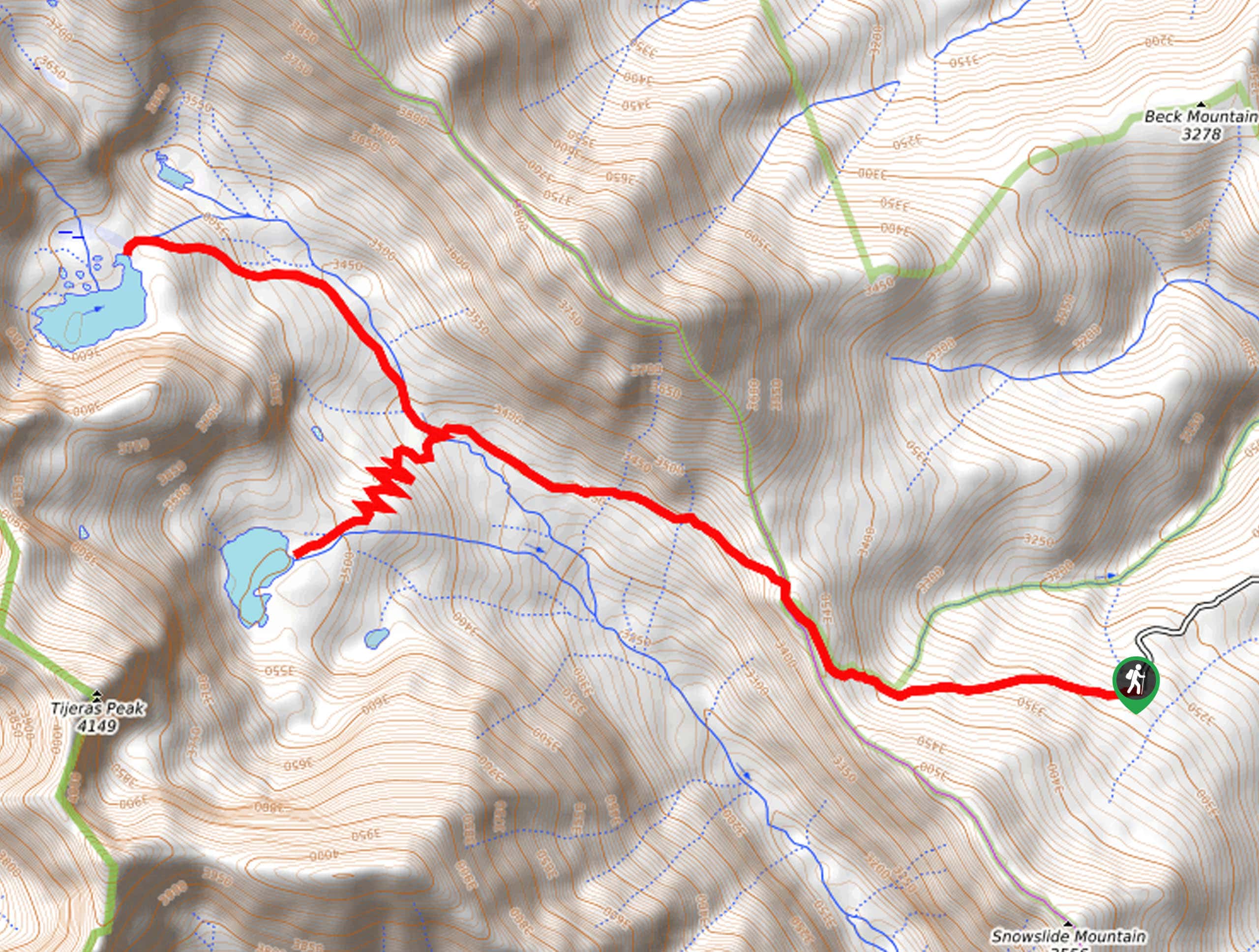
The High and Star Dune Loop departs from the High Dune Trailhead off Highway 150.

About
| Backcountry Campground | Dispersed Backcountry Camping. Note a permit is required from the Visitors Center. |
| When to do | Year-round |
| Pets allowed | No |
| Family friendly | No |
| Route Signage | Poor |
| Crowd Levels | Moderate |
| Route Type | Circuit |
High and Star Dune Loop
Elevation Graph
Weather
High and Star Dune Loop Description
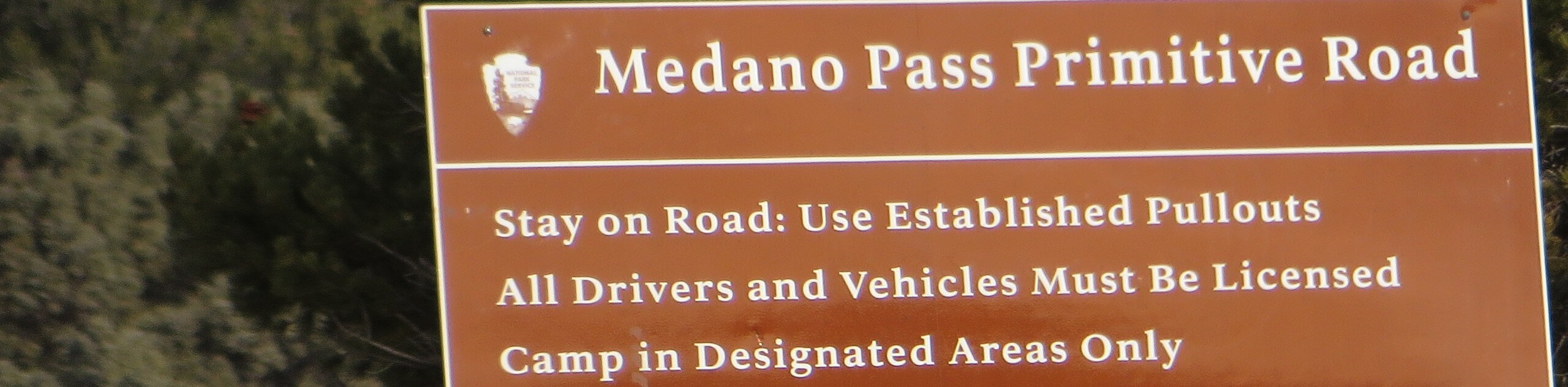
The High and Star Dune Loop may be the most scenic adventure in the National Park, but it is also the most technical. The postcard-worthy terrain presents inherent challenges—from the softness, heat, altitude to the weather conditions. Though you can go barefoot, it is important to test the heat as the hot sand can cause blistering. Additionally, the exposed dunes attract afternoon lightning storms which can be extremely dangerous, so try to summit before noon or head out in the evening. Layers and eye protection are also recommended. Note that dogs are permitted up to High Dune, but not any further into the interior dune field. The Great Sand Dunes NP charges an entrance fee of $25USD for 1-6 passenger vehicles.
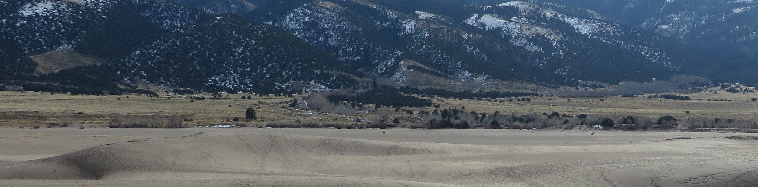
Setting out from the High Dune Trailhead, the High and Star Dune Trail tracks northwest over Medano Creek. Though the ascent to High Dune is revered, the worn path is often erased with a gust of wind, so the trail GPS may prove useful. Hike northwest up the wind-sculpted ridge up to the summit of High Dune. Revel in the grandeur of the dines and the vistas of the neighboring Sangre de Cristo Mountains. From here, track west briefly before diverting north up to Star Dune. In the inferior dune field, a sea of sand will surround you.
When you are ready, track south, descending the slopes of the dunes. Once you reach Medano Creek, begin trekking northeast. Take your shoes off here and rejuvenate your tired feet in the shallow waters. Eventually, you will be delivered back to the trailhead, marking the end of your exciting adventure!
Similar hikes to the High and Star Dune Loop hike
Star Dune Trail
Hiking the Star Dune Trail is an other-worldly experience. Adventure through the Great Sand Dunes National Park up to one…
Upper and Lower Sand Creek Lake Hike
Immerse yourself in the alpine terrain along the Upper and Lower Sand Creek Lake Hike. Hike up to no one,…
Medano Lake Trail
The Medano Lake Hike is an awesome alpine adventure in the Great Sand Dunes National Park. Immerse yourself in the…
Comments