

Maricopa Point, Powell Point, and Hopi Point via Rim Trail
View PhotosMaricopa Point, Powell Point, and Hopi Point via Rim Trail
Difficulty Rating:
If you plan to visit the Grand Canyon, you’ll almost certainly find yourself on the Grand Canyon rim Trail The hike to Maricopa Point, Powell Point, and Hopi Point on the Rim Trail hits three major viewpoints on the South Rim. Consider this your go-to Grand Canyon view hike if it’s your first time here. The route is easy and suitable for all ages and skill levels. It’s paved, so aside from steeper or rockier paths to viewpoints, the Rim Trail is perfect for all visitors to the park.
Getting there
The trailhead for the hike to Maricopa Point, Powell Point, and Hopi Point is beside the Village Route Transfer Station.
About
| Backcountry Campground | No |
| When to do | April-October |
| Pets allowed | No |
| Family friendly | Yes |
| Route Signage | Good |
| Crowd Levels | High |
| Route Type | Out and back |
Maricopa Point, Powell Point, and Hopi Point via Rim Trail
Elevation Graph
Weather
Maricopa Point, Powell Point, and Hopi Point via Rim Trail Description
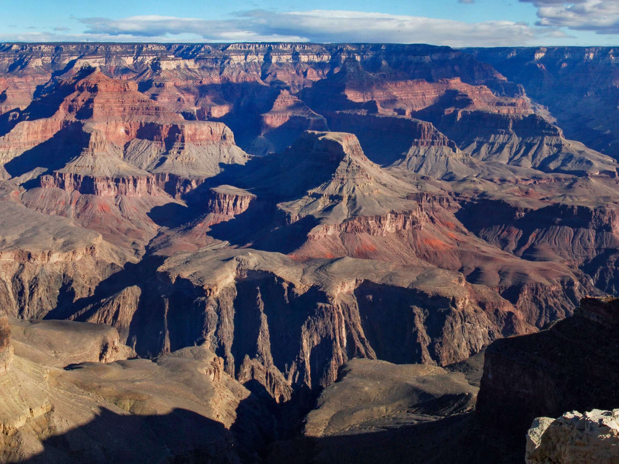
90% of visitors to the Grand Canyon come to the South Rim, and almost all of those visitors will hike along the Grand Canyon Rim Trail. This route stretches along the South Rim, hitting all the viewpoints accessible on this side of the canyon. Hiking Maricopa Point, Powell Point, and Hopi Point on the Rim takes you to three major viewpoints, including the one that extends furthest into the canyon (Hopi Point). This is a perfect first hike to take in the Grand Canyon.
The trail is paved and inclines and declines are very gentle. This makes the route suitable for all skill levels and ages. Take care in colder weather as the trail can become snowy and icy. Additionally, some viewpoints are right on the trail, but some require climbing down rocky, rugged steps to get to. Not all viewpoints are suitable for those with mobility challenges, but the views are excellent throughout the hike, so you won’t be missing too much by staying on the paved trail if necessary.
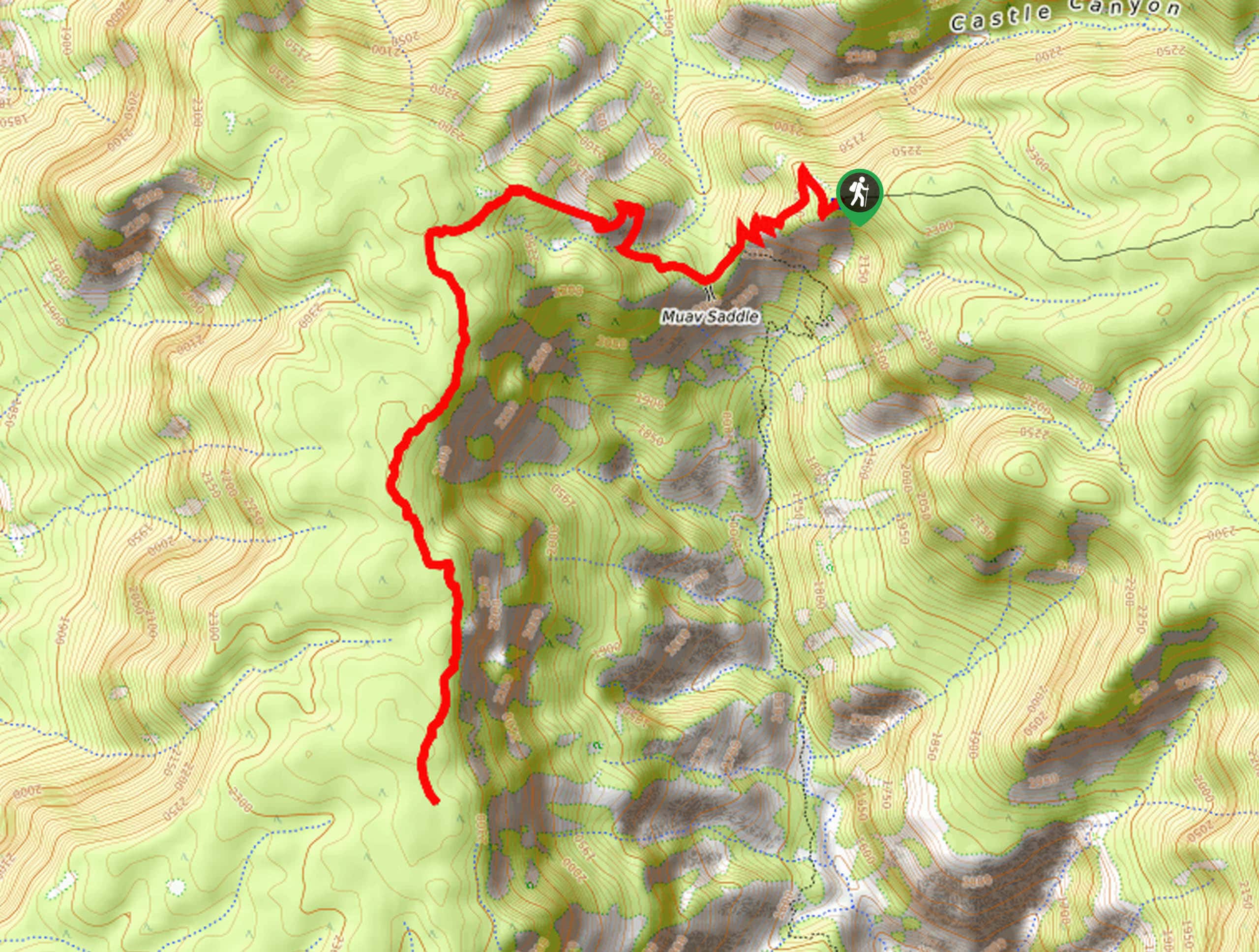
From the trailhead, the route hugs the canyon rim as it turns north. Stop into the Trailview Overlook for a quick viewpoint. Continue to where the route turns west, heading up to Maricopa Point for your first big viewpoint. Next is Powell Point, and then the final viewpoint is Hopi Point, the best viewpoint on the South Rim. From here, retrace your steps back to the trailhead.
Similar hikes to the Maricopa Point, Powell Point, and Hopi Point via Rim Trail hike

Powell Plateau Trail
Powell Plateau Trail is a hiking trail in the northwestern arm of the Grand Canyon. This spot in the canyon…

1.5-Mile Resthouse via Bright Angel Trail
The hike to the 1.5-Mile Resthouse on Bright Angel Trail is a nice compromise for hikers who want a little…

Hermit Camp to Monument Creek Camp via Tonto Trail
This guide follows a portion of Tonto Trail from Hermit Camp to Monument Creek Camp. This is a 6.3mi


Comments