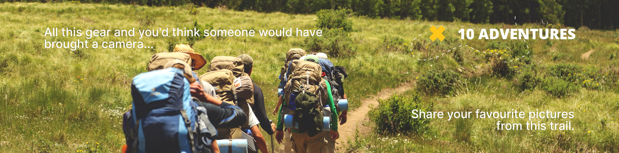
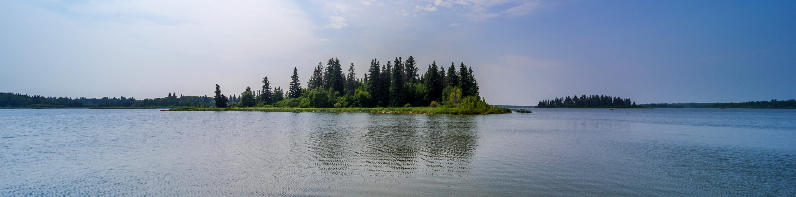
Islet Lake and Lost Lake Trail
View Photos
Islet Lake and Lost Lake Trail
Difficulty Rating:
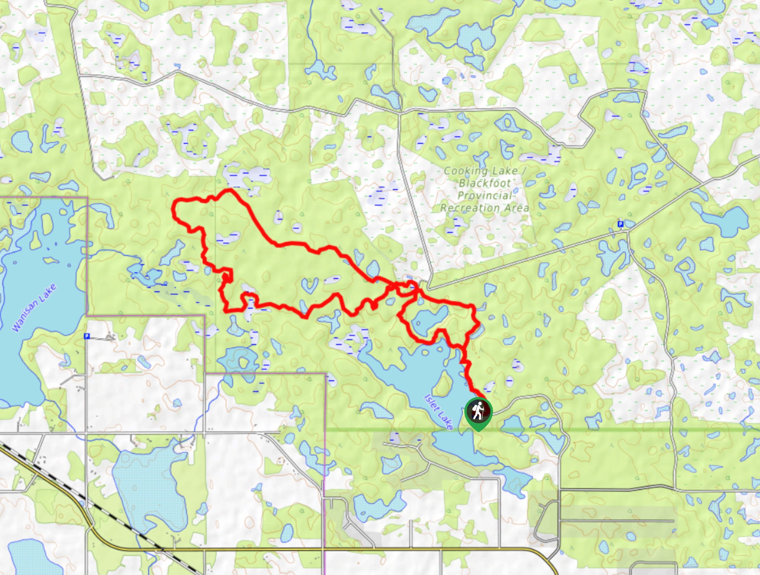
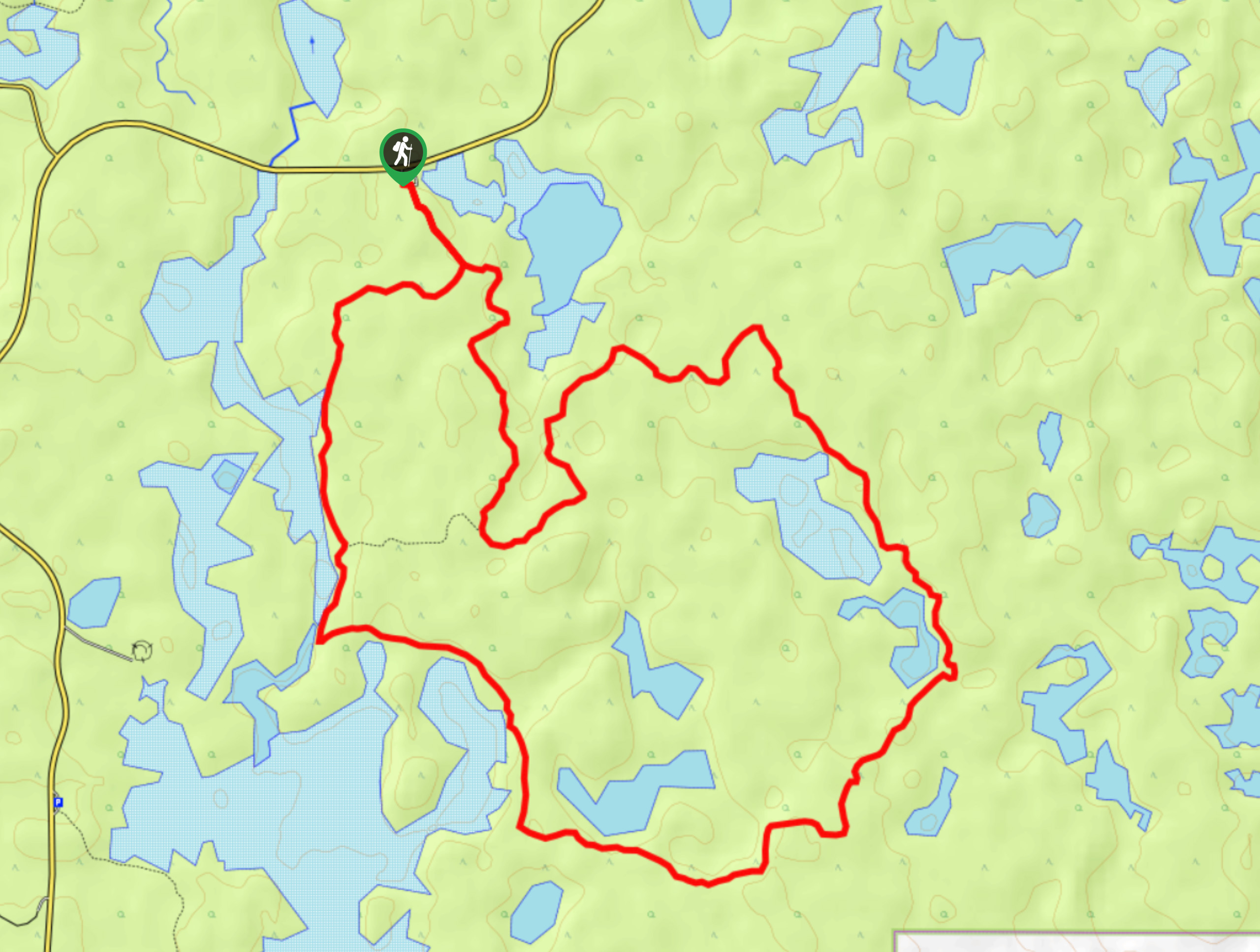
The Islet Lake and Lost Lake route follows a figure eight shape starting at Islet Lake. Many visitors stop at Islet Lake and take in the scenery without continuing on. The trail is largely forested between the lakes and features some lookout shelters, signage, and opportunities for wildlife sightings.
Getting there
From Elk Island National Park, travel southbound to get to Islet Lake and Lost Lake trail. The trail is located within Cooking Lake Blackfoot Grazing Reserve. Head west on AB-16 and turn left onto Range Road 210, then turn left again onto Wye Road/AB-630 E. Continue onto Islet Lake Drive on the left and stay on this road until you reach the Islet Lake staging area.

About
| When to do | May-October |
| Backcountry Campsites | No |
| Pets allowed | No |
| Family friendly | Yes |
| Route Signage | Average |
| Crowd Levels | Moderate |
| Route Type | Lollipop |
Islet Lake and Lost Lake Trail
Elevation Graph
Weather
Islet Lake and Lost Lake Trail Description
The Islet Lake and Lost Lake Trail is a 10.6mi figure eight circuit with rolling elevation. The trail begins at the Islet Lake parking lot and features various covered shelters, benches, and excellent signage. It is popular for bird and wildlife watching. The signage on the trail is easy to follow and you will begin your route passing by the shores of incredible Islet Lake. Continue on, crossing a junction that will create a figure eight loop to Lost Lake, returning back to Islet Lake making a full circuit.
Similar hikes to the Islet Lake and Lost Lake Trail hike
Astotin Lakeview Trail
From the campground, the Astotin Lakeview trail follows an interpretive route through marshes and beaver ponds to panoramic views of…
Moss Lake Trail
The Moss Lake Trail passes by Moss Lake almost immediately, yet continues on through marsh areas and various beaver dams…
Wood Bison Trail
The Wood Bison Trail is true to its name and offers the only chance to spot wood bison in the…
Comments