Trans Canada and Pandora Trail Loop
View Photos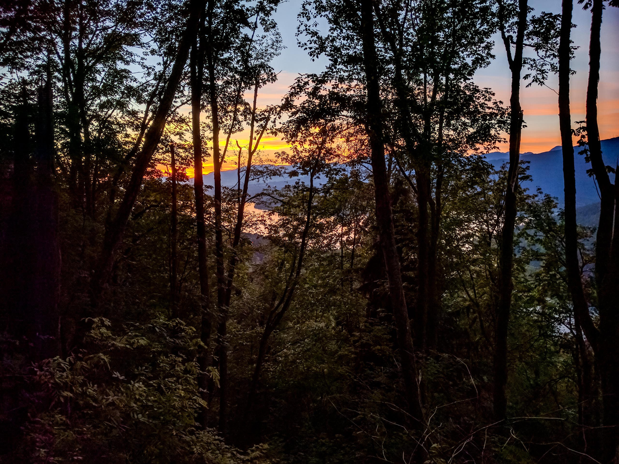
Trans Canada and Pandora Trail Loop
Difficulty Rating:
The Trans Canada and Pandora Trail Loop is a combination of several trails within the Burnaby Mountain Conservation Area that allow hikers to explore some of the terrain on top of the mountain. Located next to the Simon Fraser University Campus, this trail offers a mix of gravel paths and nature trails through the woods, making it a perfect option for an outdoor study break. Make sure to leave a few minutes to visit the Burnaby Mountain Centennial Rose Garden along the trail’s eastern edge.
Getting there
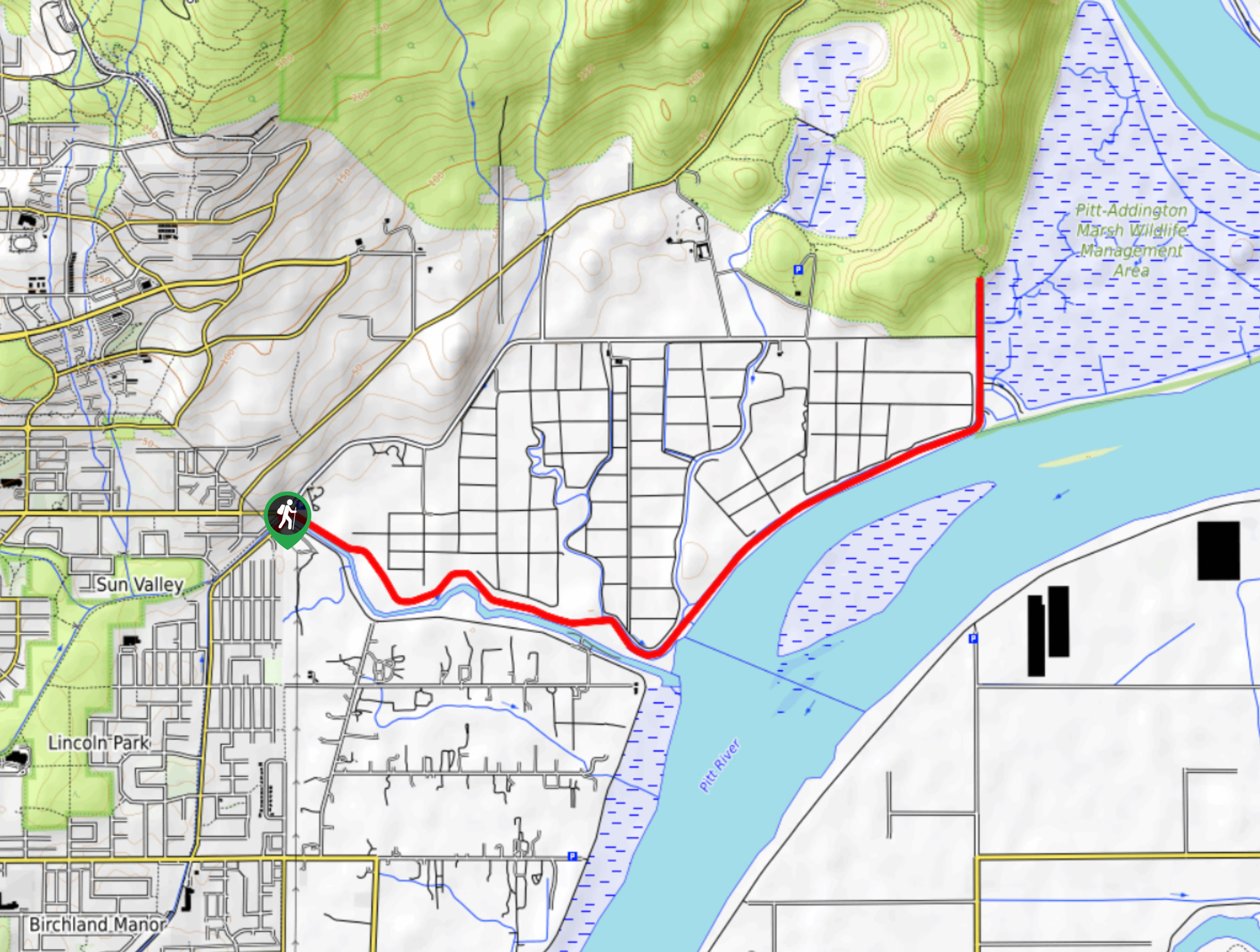
To get to the trailhead for the Trans Canada and Pandora Trail Loop from Vancouver, drive east on E Hastings Street/BC-7A for 1.2mi and make a right turn onto Hastings Street. After 2133ft, the road will turn into Burnaby Mountain Parkway. Continue for 0.7mi, and turn left onto Centennial Way. In 0.6mi, the parking area will be on the right.

About
| When to do | Year-Round |
| Backcountry Campsites | No |
| Pets allowed | Yes - On Leash |
| Family friendly | Yes |
| Route Signage | Average |
| Crowd Levels | Moderate |
| Route Type | Circuit |
Trans Canada and Pandora Trail Loop
Elevation Graph
Weather
Trans Canada and Pandora Trail Loop Description
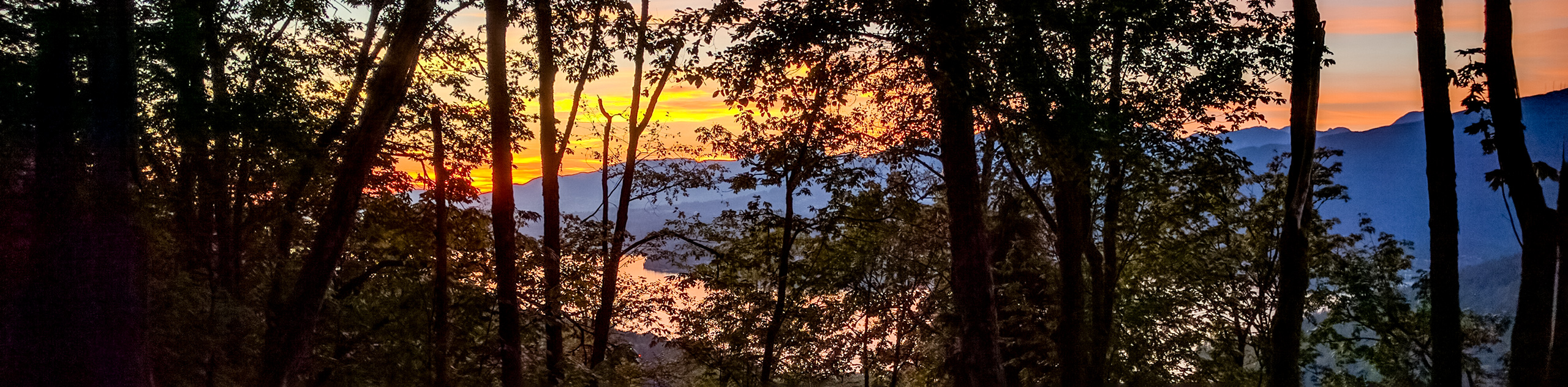
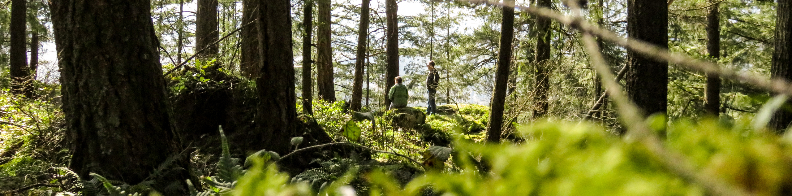
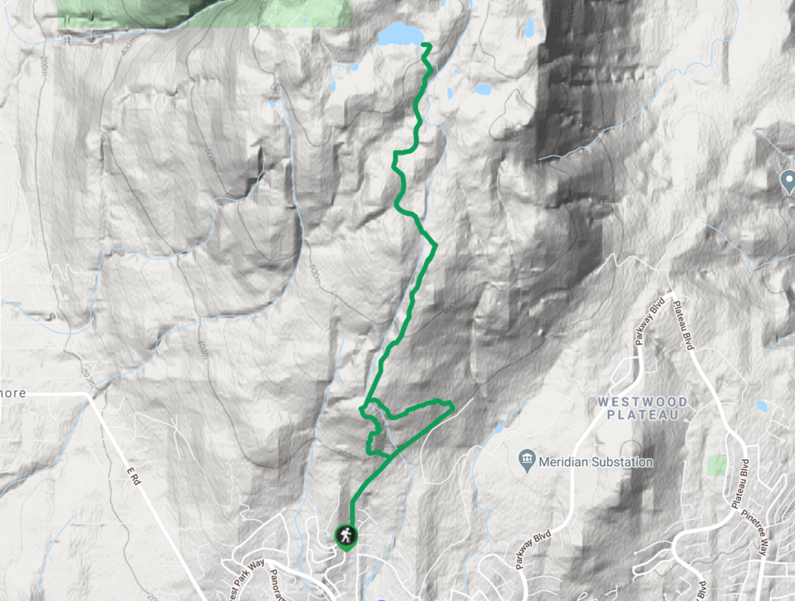
The Trans Canada and Pandora Trail Loop is a short 2.2mi route on Burnaby Mountain that passes over some varied terrain, including gravel paths and forested trails. Sections of the trail can become very muddy, so make sure to wear proper hiking footwear or trail runners in order to traverse the mild changes in elevation. As with most BC trails, you should pack bear spray in the event that you have an encounter with one of the majestic creatures.
This trail is a quick loop that makes for a great afternoon hike or study break if you are on campus at SFU. Follow the path as it passes by the Centennial Rose Garden and heads into the trees. From here, the route will descend gently downhill along the Pandora Trail before turning south along the often muddy stretch of the Gnome’s Home Trail. Continue following the trail through the heavy tree cover as it winds its way east along the Trans Canada Trail toward the campus. Eventually, you will return to the parking area, having completed the Trans Canada and Pandora Trail Loop on Burnaby Mountain.
Similar hikes to the Trans Canada and Pandora Trail Loop hike
Quarry Trail
The Quarry Trail is a scenic hike through the beautiful wetlands of Minnekhada Regional Park that takes hikers to several…
DeBoville Slough to Addington Lookout
The hike along DeBoville Slough to Addington Marsh is an easy 6.0mi out-and-back trail along a paved path…
Lungbuster Trail to Cypress Lake
The Lungbuster Trail is a challenging 5.1mi out-and-back hiking route near Coquitlam, BC, that follows along an extremely…
Comments