
Rolley Lake Trail
View Photos
Rolley Lake Trail
Difficulty Rating:
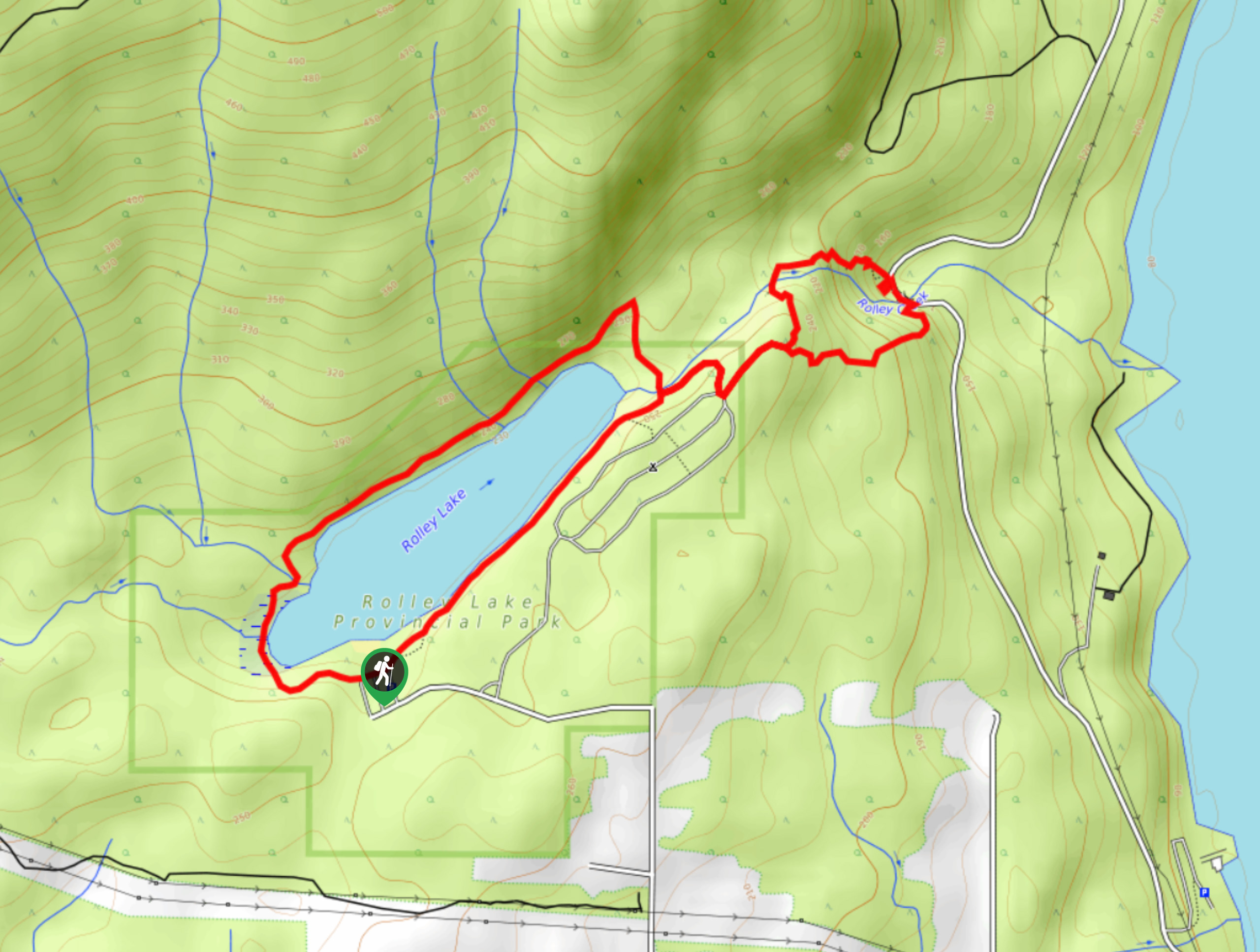
The Rolley Lake Trail travels along a 2.9mi loop through Rolley Lake Provincial Park and features a flat trail through the forest and a lakeside boardwalk. Along the trail you will be able to experience the serene atmosphere of this beautiful woodland lake, before travelling slightly downhill to visit a quaint waterfall along Rolley Creek. This is a great family-friendly hike due to the easy trail and multiple highlights.
Getting there
To get to Rolley Lake Provincial Park from Maple Ridge, head east on Dewdney Trunk Road for 9.3mi and turn left onto Bell Street. After 1.4mi, the road will turn left and become Matheson Avenue. Continue on for 2133ft to reach the parking area.

About
| When to do | Year-Round |
| Backcountry Campsites | Rolley Lake Campground |
| Pets allowed | Yes - On Leash |
| Family friendly | Yes |
| Route Signage | Average |
| Crowd Levels | Moderate |
| Route Type | Circuit |
Rolley Lake Trail
Elevation Graph
Weather
Rolley Lake Trail Descritpion
The Rolley lake Trail is a nice and easy hiking route in Rolley Lake Provincial Park that travels around a lakeside loop, before heading down a side trail to visit Rolley Falls. Made up of easy terrain and a lakeside boardwalk, the path hugs closely to the edges of the wooded lake, providing a peaceful atmosphere as you stroll through the trees. Reaching Rolley Creek, the trail breaks off and descends toward the cascading water of the falls. Minimal changes in elevation, picturesque scenery, beach access, and proximity to the Rolley Lake Campground all make this short hiking route a perfect accompaniment to a weekend of camping with the family.
Similar hikes to the Rolley Lake Trail hike
Trans Canada and Pandora Trail Loop
The Trans Canada and Pandora Trail Loop is a combination of several trails within the Burnaby Mountain Conservation Area that…
Quarry Trail
The Quarry Trail is a scenic hike through the beautiful wetlands of Minnekhada Regional Park that takes hikers to several…
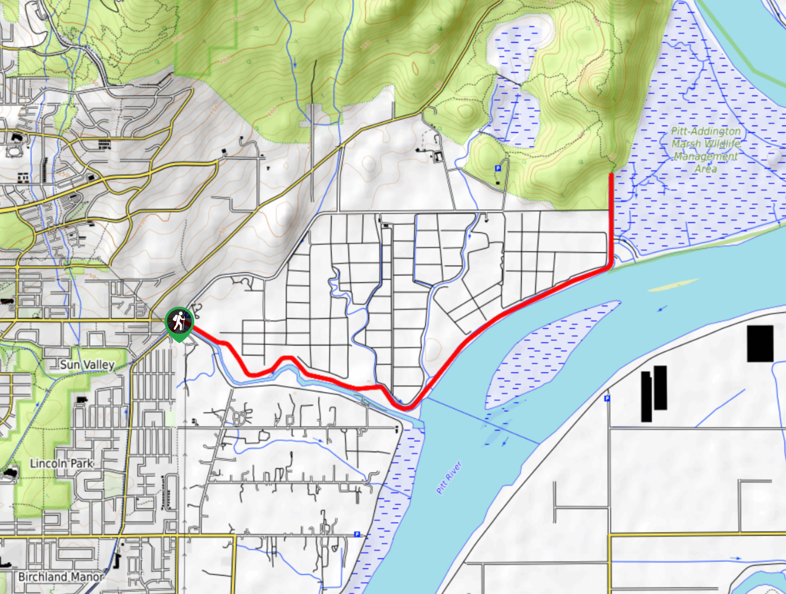
DeBoville Slough to Addington Lookout
The hike along DeBoville Slough to Addington Marsh is an easy 6.0mi out-and-back trail along a paved path…
Comments