Ridge Park Loop
View Photos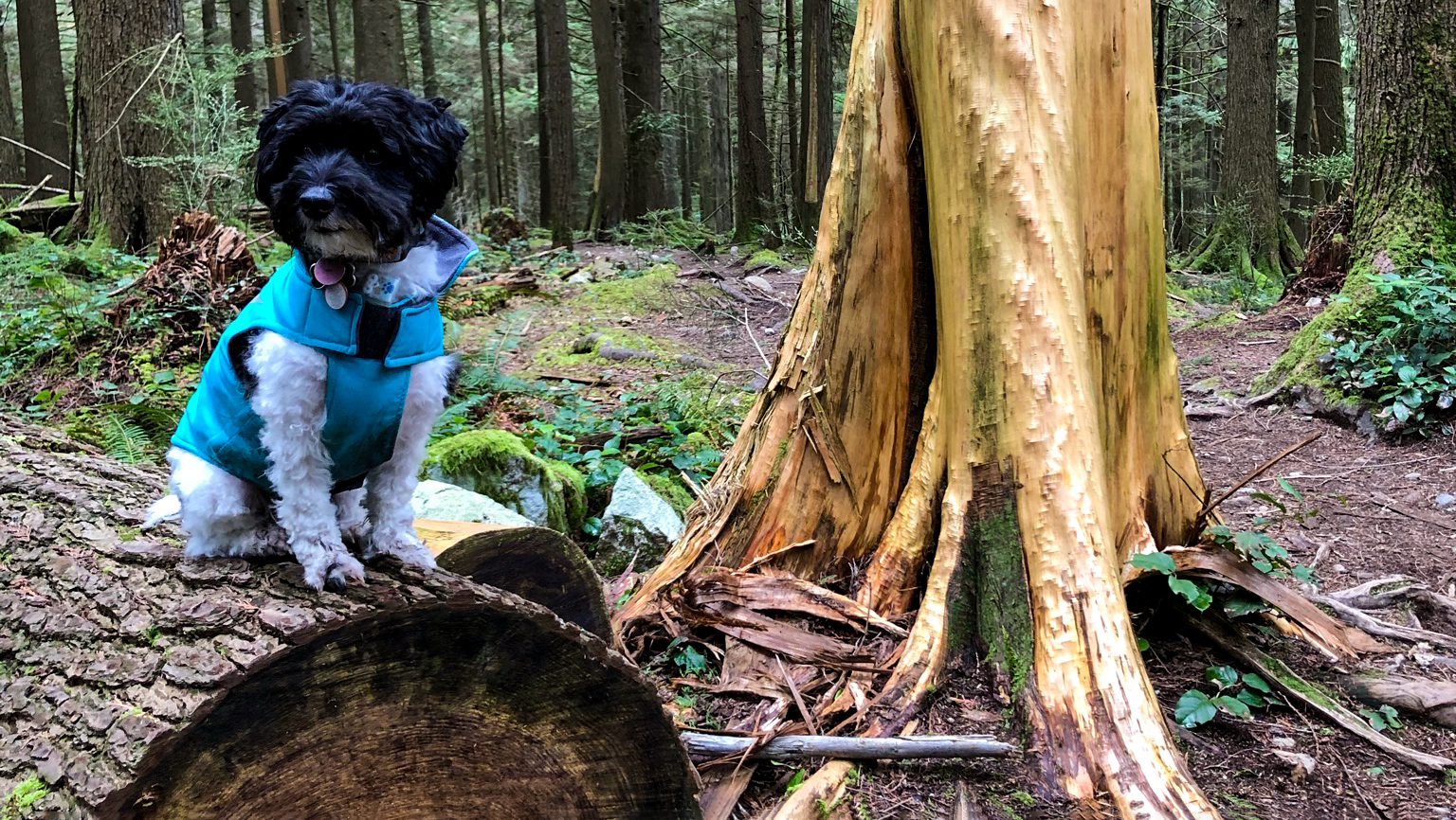
Ridge Park Loop
Difficulty Rating:
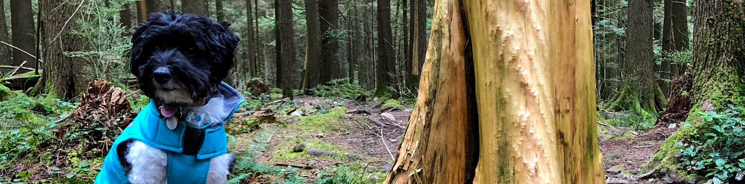
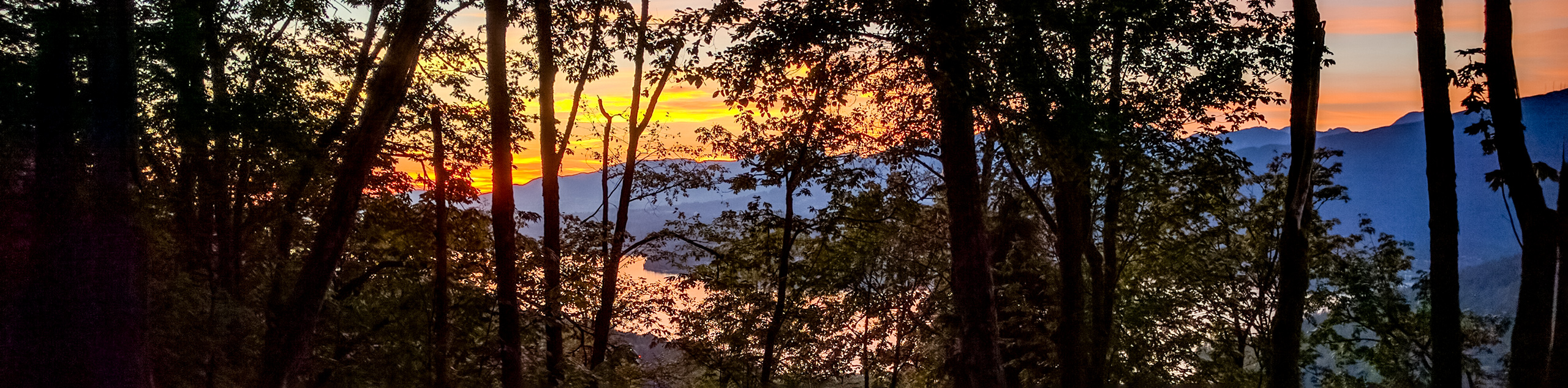
The Ridge Park Loop is a fun hike that travels along the Westwood Plateau and features a creek crossing, as well as beautiful views of the surrounding city and nearby mountains. This trail serves as an off-leash area for dogs and mainly follows a route through the forest, making it an ideal hike for exploring alongside a furry companion. Some areas along the route are poorly-marked, so it’s best to have a trail map or GPS handy.
Getting there
To reach the trailhead for the Ridge Park Loop from the Barnet Highway in Coquitlam, drive north along Johnson Street for 1.7mi, where you will find parking in front of Panorama Heights Elementary School. The trailhead can be found on the other side of Johnson Street.

About
| When to do | Year-Round |
| Backcountry Campsites | No |
| Pets allowed | Yes |
| Family friendly | Older Children only |
| Route Signage | Poor |
| Crowd Levels | High |
| Route Type | Circuit |
Ridge Park Loop
Elevation Graph
Weather
Ridge Park Loop Description
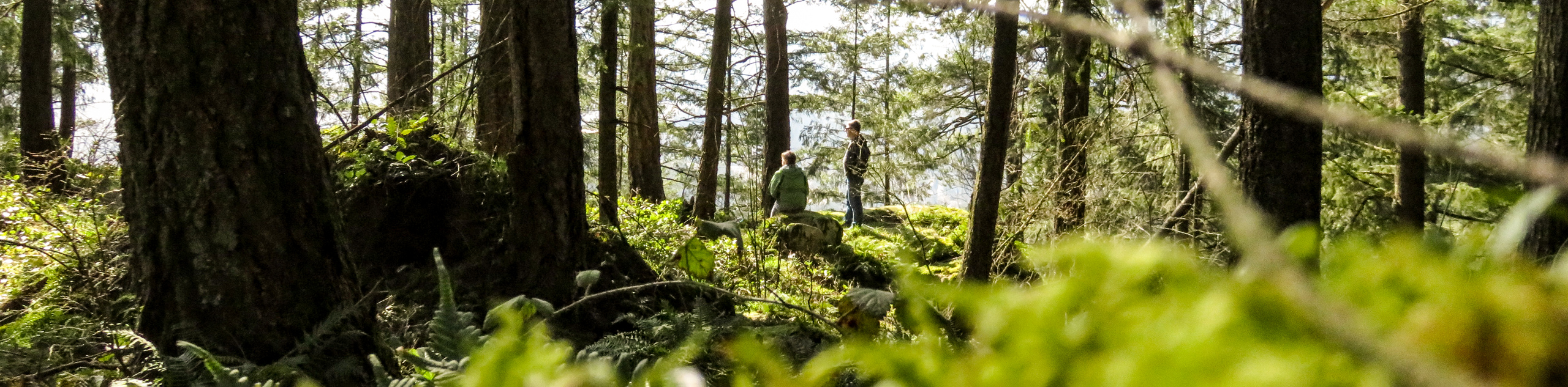
The Ridge Park Loop is a fun route through the small network of trails along the Westwood Plateau in Coquitlam that suffers slightly from a lack of proper trail markings. The condensed nature of the route makes it easy enough to follow, but it is still advised to bring a trail map or keep an eye on the GPS while hiking along this forested trail. Portions of the hike can also become fairly muddy in spots, so it’s best to wear water resistant hiking footwear or trail runners to keep your feet dry when out on the trail.
This largely forested trail features a creek crossing and has some moderate changes in elevation, making it a great route for exploration at the edge of the city. This is also an off-leash trail that dogs will love because of the dense tree cover and network of trails. Just be sure to keep an eye on them, as bears are sometimes seen in the area. Aside from the beauty of the trail, this route also offers some nice views that look out over the city, with the nearby mountains serving as a scenic backdrop on a clear day.
Setting out from the parking lot at the elementary school, follow the trail as it passes through the residential subdivision, making sure to take the first trail junction to the right after the last row of houses. After reaching the next junction in the trail, make a left and an immediate right to follow the path as it hooks towards the west. When you get to the four-way intersection, take the trail to the right to follow the route on an uphill climb through the forest.
As you make your way up the ridge, you will cross over a creek. Keep left to continue up the ridge in a clockwise direction around the trail loop. As you make your way around the loop, you will have several views of the city that are partially obscured by the tree cover that characterizes the majority of this hike. Continue along the eastern side of the Ridge Park Loop as you descend the ridge, cross back over the creek, and make your way down to the parking lot where you started your journey.
Similar hikes to the Ridge Park Loop hike
Trans Canada and Pandora Trail Loop
The Trans Canada and Pandora Trail Loop is a combination of several trails within the Burnaby Mountain Conservation Area that…
Quarry Trail
The Quarry Trail is a scenic hike through the beautiful wetlands of Minnekhada Regional Park that takes hikers to several…
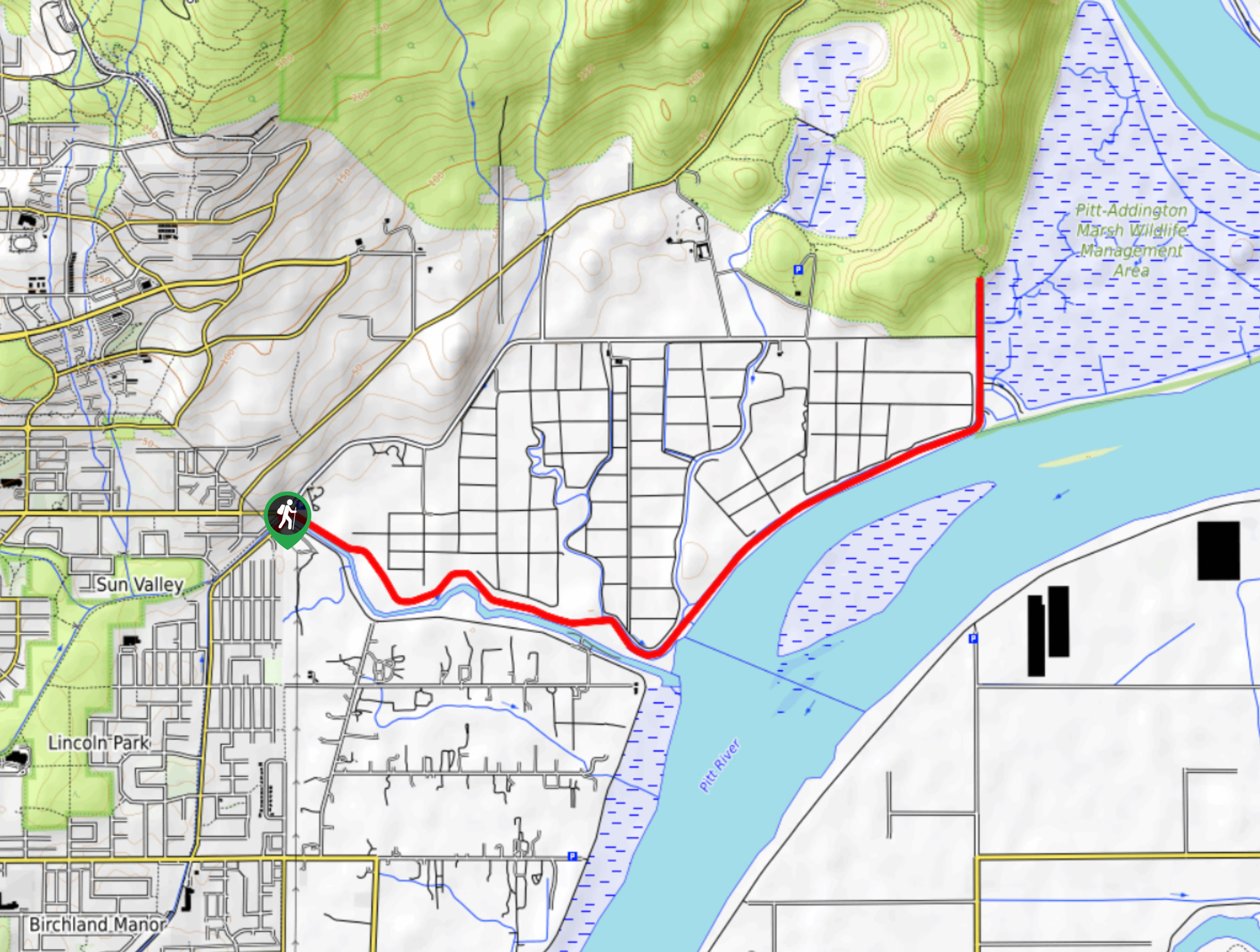
DeBoville Slough to Addington Lookout
The hike along DeBoville Slough to Addington Marsh is an easy 6.0mi out-and-back trail along a paved path…
Comments