Quarry Road Hike
View Photos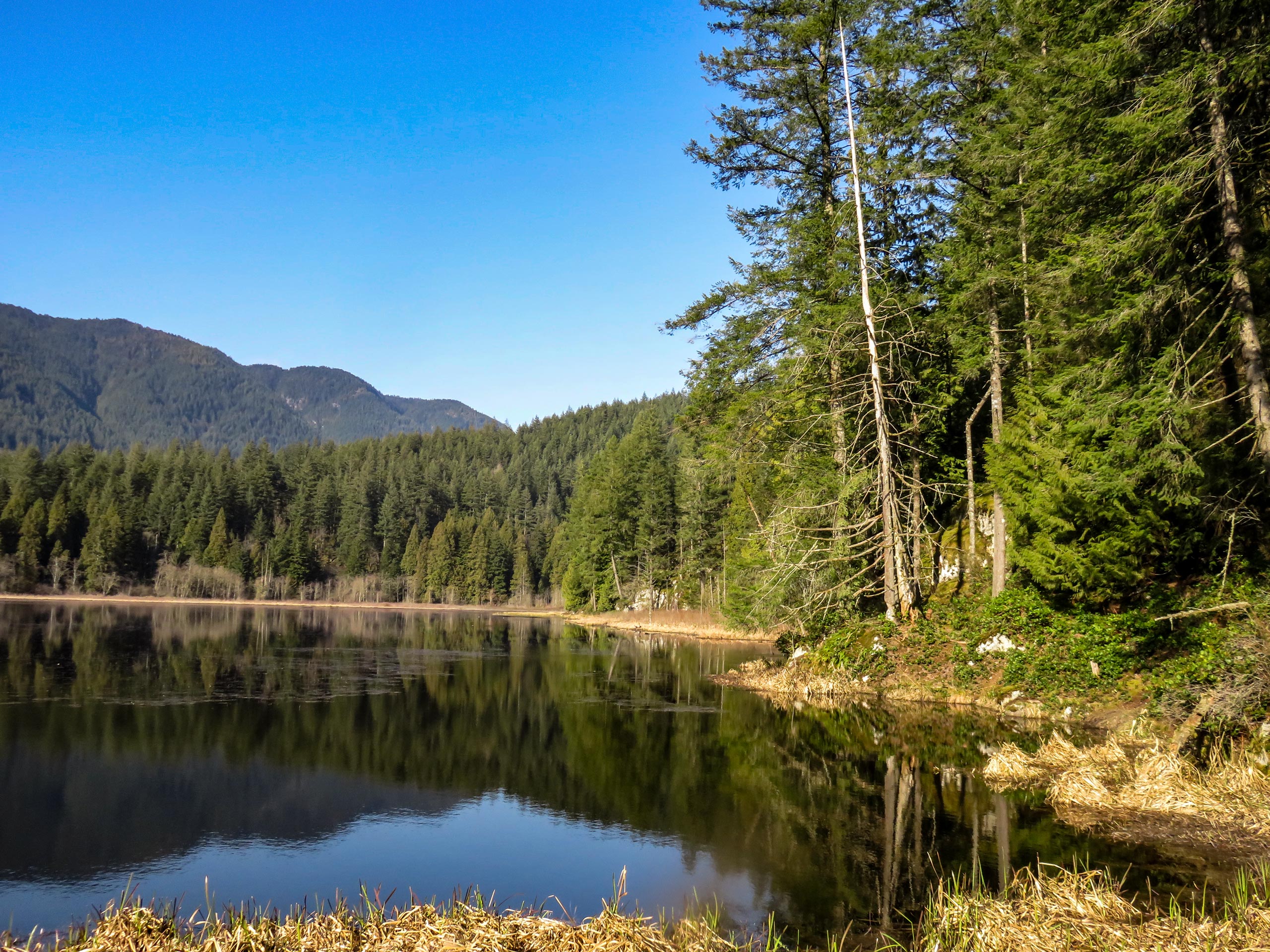
Quarry Road Hike
Difficulty Rating:
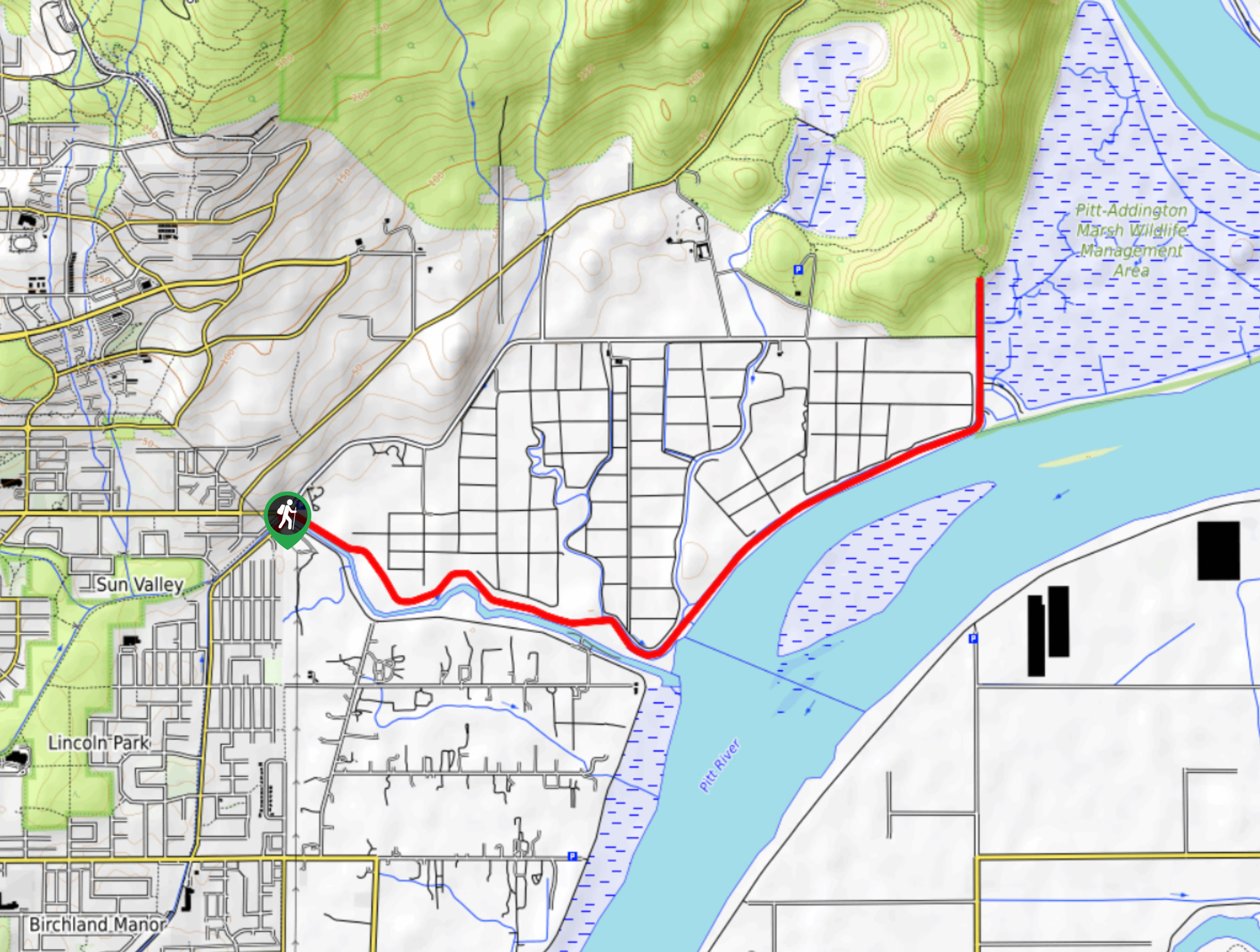
The Quarry Road Hike is a 5.8mi out-and-back route that sets out from Minnekhada Regional Park and follows along a beautiful and secluded forest road. Popular with runners and bikers, this road is only really used by the few residents that live near its end, making this a lightly-trafficked route that is perfect for all kinds of activities. This flat and forested route is a great way to get the entire family out and having fun while running, hiking, or cycling.
Getting there
To get to the parking area for the Quarry Road Hike from Coquitlam, head north on Pinetree Way N and turn right onto David Ave. Make a right turn after 1.7mi onto Coast Meridian Rd, and a left turn onto Victoria Dr. After 0.8mi, Victoria Dr will veer to the left. Continue on for 1.7mi, and make a right turn to reach the parking area.

About
| When to do | Year-Round |
| Backcountry Campsites | No |
| Pets allowed | Yes - On Leash |
| Family friendly | Yes |
| Route Signage | Average |
| Crowd Levels | Low |
| Route Type | Out and back |
Quarry Road Hike
Elevation Graph
Weather
Quarry Road Hike Description
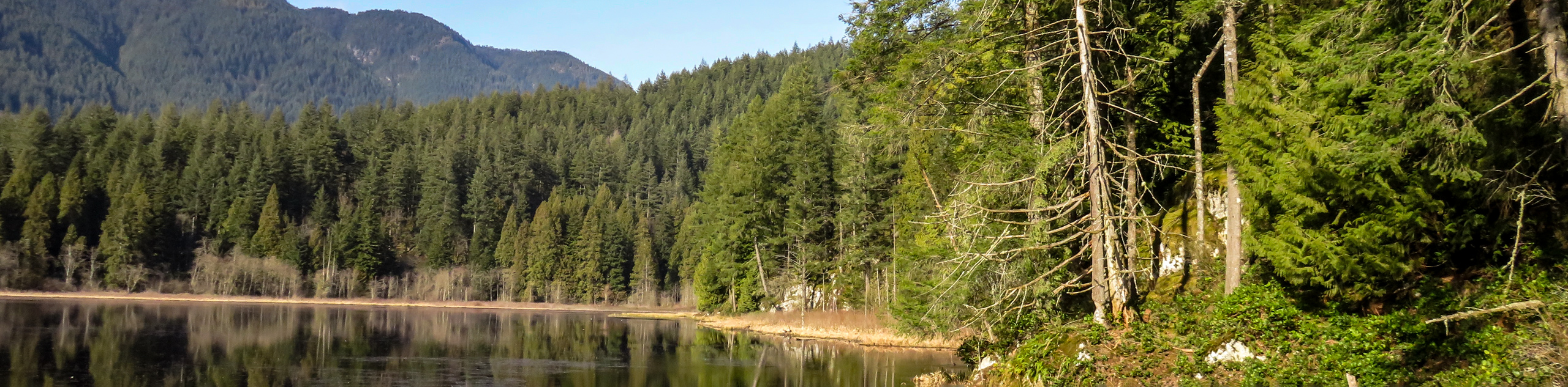
The Quarry Road Hike is a fun out-and-back trail that passes through the beautiful forests near Minnekhada Regional Park and Pinecone Burke Provincial Park. As mentioned, traffic along the road itself is fairly rare due to its main source of use coming from the few residents that live at the road’s end. This makes it an enjoyable route along a nicely paved road that is perfect for a wide variety of activities. Hikers should note that there are several side trails along the road that are private property and should be avoided without express permission from the owners/residents.
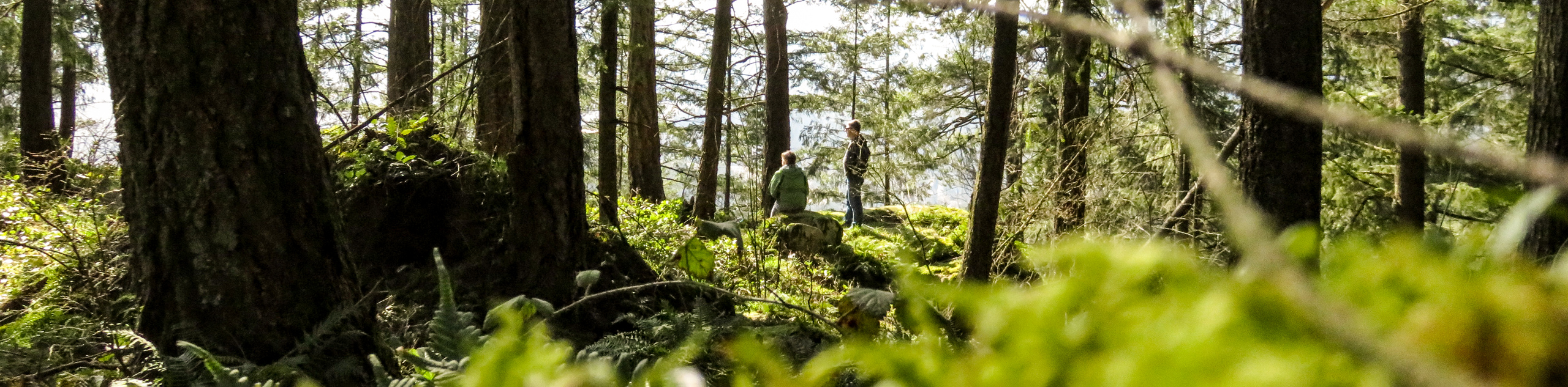
The trail sets out from the parking area at Minnekhada Regional Park and heads north along Quarry Road as it meanders through the forest. This wide road is perfect for taking the family out hiking, cycling, or running, as the road is lightly used, and there is plenty of room to allow children to use it safely. The route continues north, passing by the Swiss-Canadian Mountain Range Association, and eventually skirts alongside a quarry that gives the road its name and sits next to the Pitt River.
After the quarry and near the end of the trail is an old tractor that has been left along the road, which is slowly becoming overgrown with plant life. This is a good spot for photos, especially if you are out with the family and want a quirky/memorable backdrop. Hikers will find the end of the trail clearly marked with signs marking a change to private property. At this point, turn back and make the return journey along the forested length of Quarry Road to reach the parking area at Minnekhada Regional Park.
Similar hikes to the Quarry Road Hike hike
Trans Canada and Pandora Trail Loop
The Trans Canada and Pandora Trail Loop is a combination of several trails within the Burnaby Mountain Conservation Area that…
Quarry Trail
The Quarry Trail is a scenic hike through the beautiful wetlands of Minnekhada Regional Park that takes hikers to several…
DeBoville Slough to Addington Lookout
The hike along DeBoville Slough to Addington Marsh is an easy 6.0mi out-and-back trail along a paved path…
Comments