

Lower Falls Loop Trail
View PhotosLower Falls Loop Trail
Difficulty Rating:
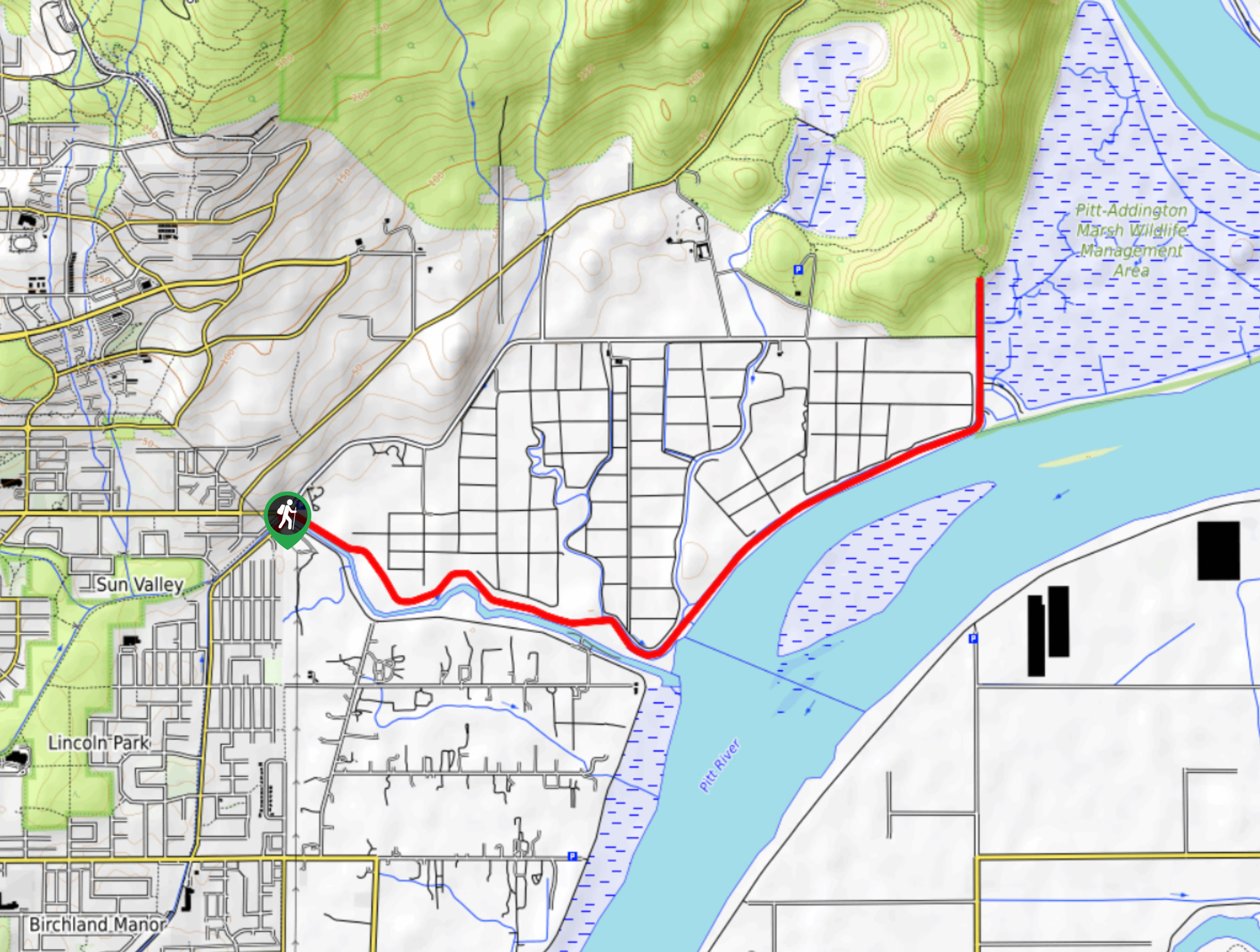
The Lower Falls Loop Trail is an easy 3.6mi out-and-back route in Golden Ears Provincial Park that offers hikers some beautiful views of the majestic Lower Falls of Gold Creek. The route utilizes the East Canyon Trail to reach the falls before turning south on the return loop as it meanders alongside Gold Creek. This is a fun half-day hike to introduce yourself to the beauty of Golden Ears Provincial Park.
Getting there
To get to the parking lot for the Lower Falls Loop Trail from Mapleridge, head east on Dewdney Trunk Rd and turn left onto 232 St. Keep on 232 St for 3.7mi to enter Golden Ears Provincial Park. Drive along Golden Ears Pkwy for 8.2mi to reach the Gold Creek Parking lot on your left.
About
| When to do | March-October |
| Backcountry Campsites | North Beach, Golden Ears, Gold Creek |
| Pets allowed | Yes - On Leash |
| Family friendly | Older Children only |
| Route Signage | Average |
| Crowd Levels | High |
| Route Type | Circuit |
Lower Falls Loop Trail
Elevation Graph
Weather
Lower Falls Loop Trail Description
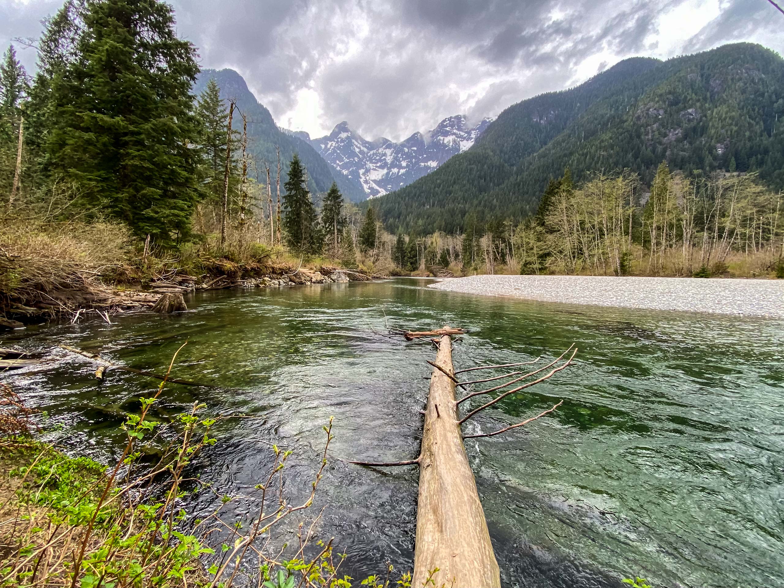
The Lower Falls Loop Trail travels along the beautifully forested trails of Golden Ears Provincial Park as they make their way to the Lower Falls of Gold Creek. Because of the forested nature of this hike, scenic views are hard to come by, but the vantage point at the falls is truly spectacular. From here, hikers will see a scenic woodland backdrop that stands in contrast to the rushing waters of Gold Creek as they crash over the rock formation of the falls. This may be a short hike, but it is a perfect route for an easy and enjoyable day in the outdoors.
From the parking lot, pick up the trail as it heads west and meets up with the East Canyon Trail. Take this to the left to begin your journey toward the Lower Falls. After 1.4mi of hiking through the dense forest and crossing over several mountain streams, you will arrive at a trail junction to your left. Follow this trail as it descends down to the viewpoint for the Lower Falls. After taking in the sights, follow the path south on the Lower Falls Trail as it winds alongside Gold Creek.
From the vantage point at the falls, the trail will continue for another 1.6mi through the forest with the sound of the rushing water following closely on your right. Keep on this trail to make your way back to the starting point of the hike at the Gold Creek parking lot, having completed the Lower Falls Loop Trail.
Similar hikes to the Lower Falls Loop Trail hike

Trans Canada and Pandora Trail Loop
The Trans Canada and Pandora Trail Loop is a combination of several trails within the Burnaby Mountain Conservation Area that…

Quarry Trail
The Quarry Trail is a scenic hike through the beautiful wetlands of Minnekhada Regional Park that takes hikers to several…

DeBoville Slough to Addington Lookout
The hike along DeBoville Slough to Addington Marsh is an easy 6.0mi out-and-back trail along a paved path…


Comments