

High Knoll hike
View PhotosHigh Knoll hike
Difficulty Rating:
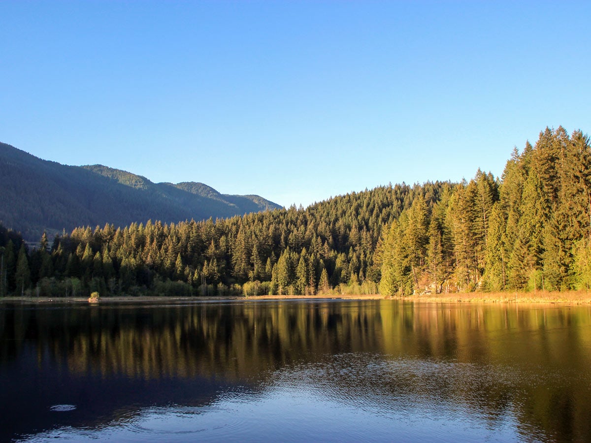
Head to Minnekhada Regional Park to hike to High Knoll for mesmerizing views and plenty of trails to explore throughout. Pass by marshes split into two sections by a dyke, and teeming with local wildlife
Getting there
Head north on Coast Meridian Road in Port Coquitlam. Turn right onto Victoria Drive. Go left where Victoria Drive forks. You’ll see a sign that says welcome to Coquitlam. Follow Victoria Drive, which will turn into Quarry Road. You’ll see a sign on the right-hand side of the road that says ‘Minnekhada – Quarry Trailhead’. Turn right into the parking lot.
About
| When to do | Any season |
| Backcountry Campsites | No |
| Family friendly | Older Children only |
| Route Signage | Average |
| Crowd Levels | Moderate |
| Route Type | Out and back |
High Knoll
Elevation Graph
Weather
Route Description for High Knoll
Start the High Knoll hike from the main Quarry Road parking lot in Minnikhada Regional Park. Here, you’ll find an outhouse and the start of the trail. Follow the trail directly behind the outhouse.
Within a 328ft, you’ll notice a split in the trail. Head left, following the sign towards High Knoll/Low Knoll. It’s only 1.4mi to reach High Knoll from here.
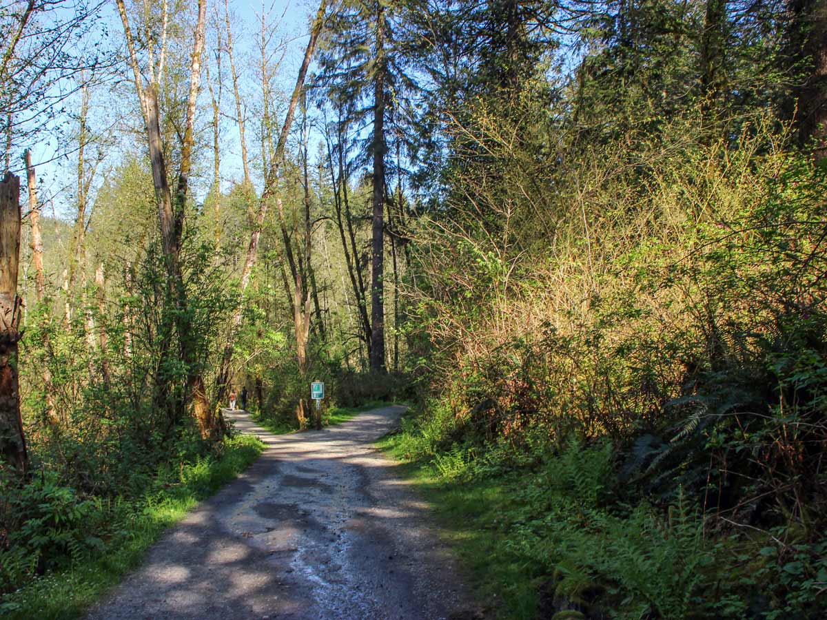
Right away, you should run into another junction, where you’ll head right onto the gravel path that is Meadow Trail.
Come to another sign, then keep left where you should see the marsh peeking through the tree line.
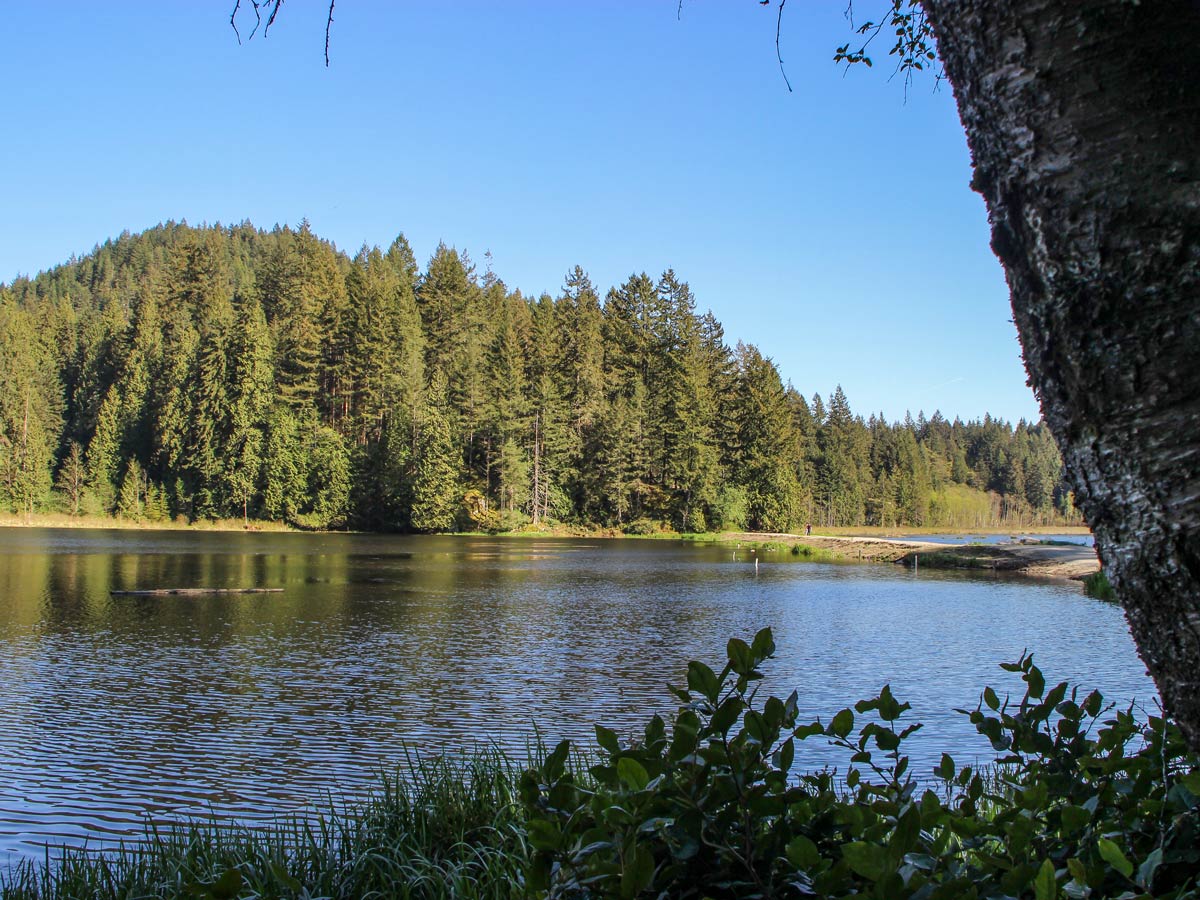
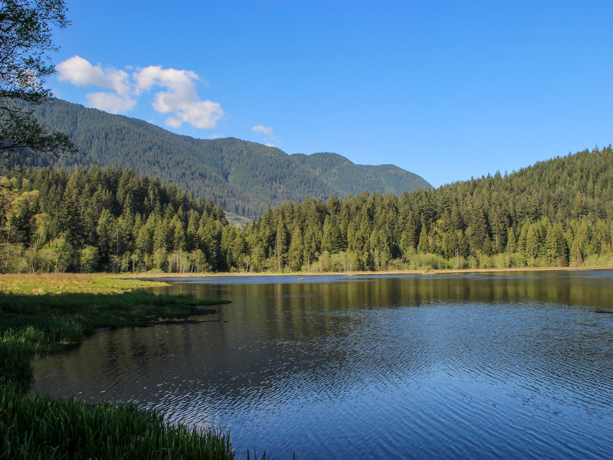
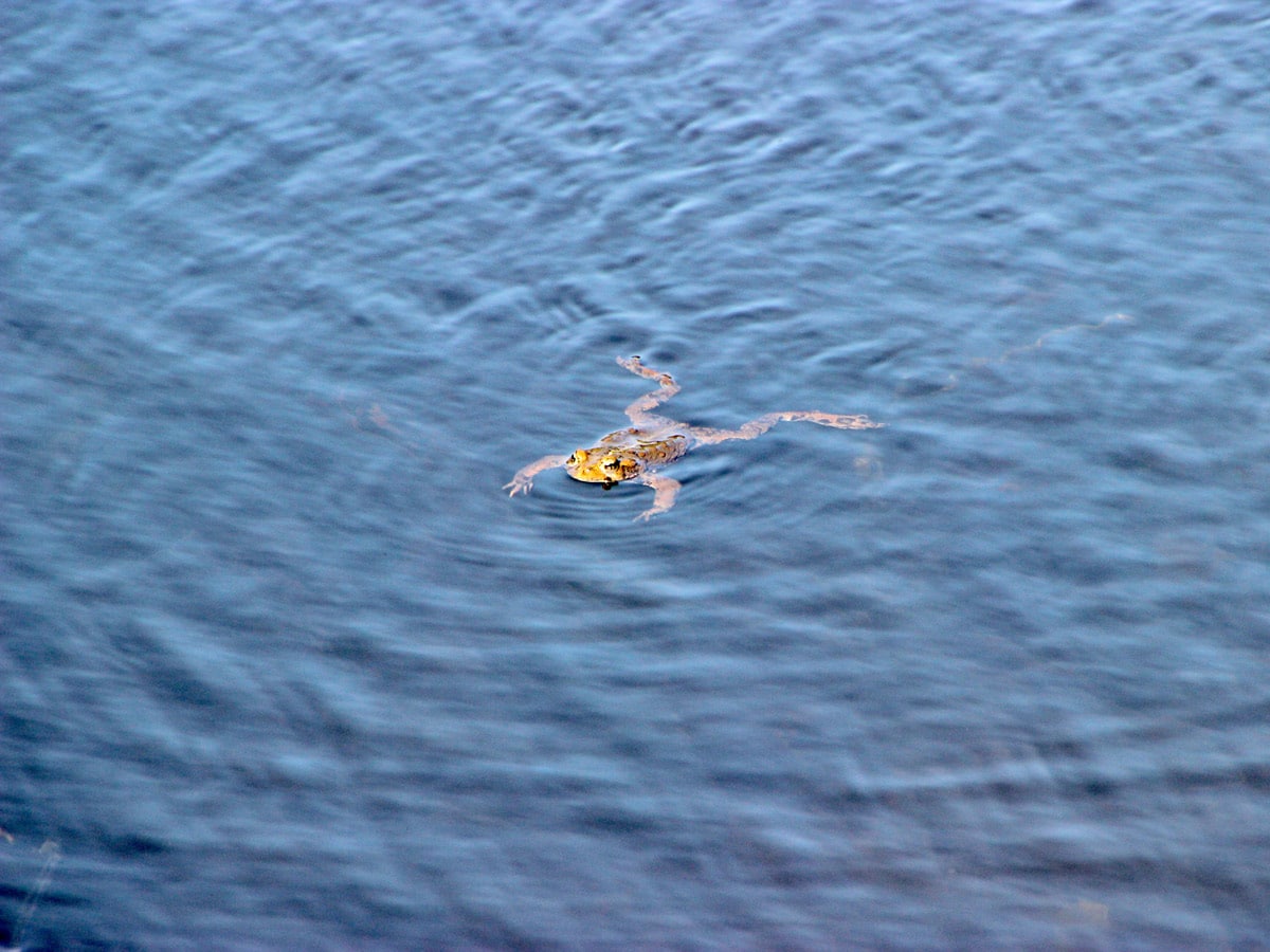
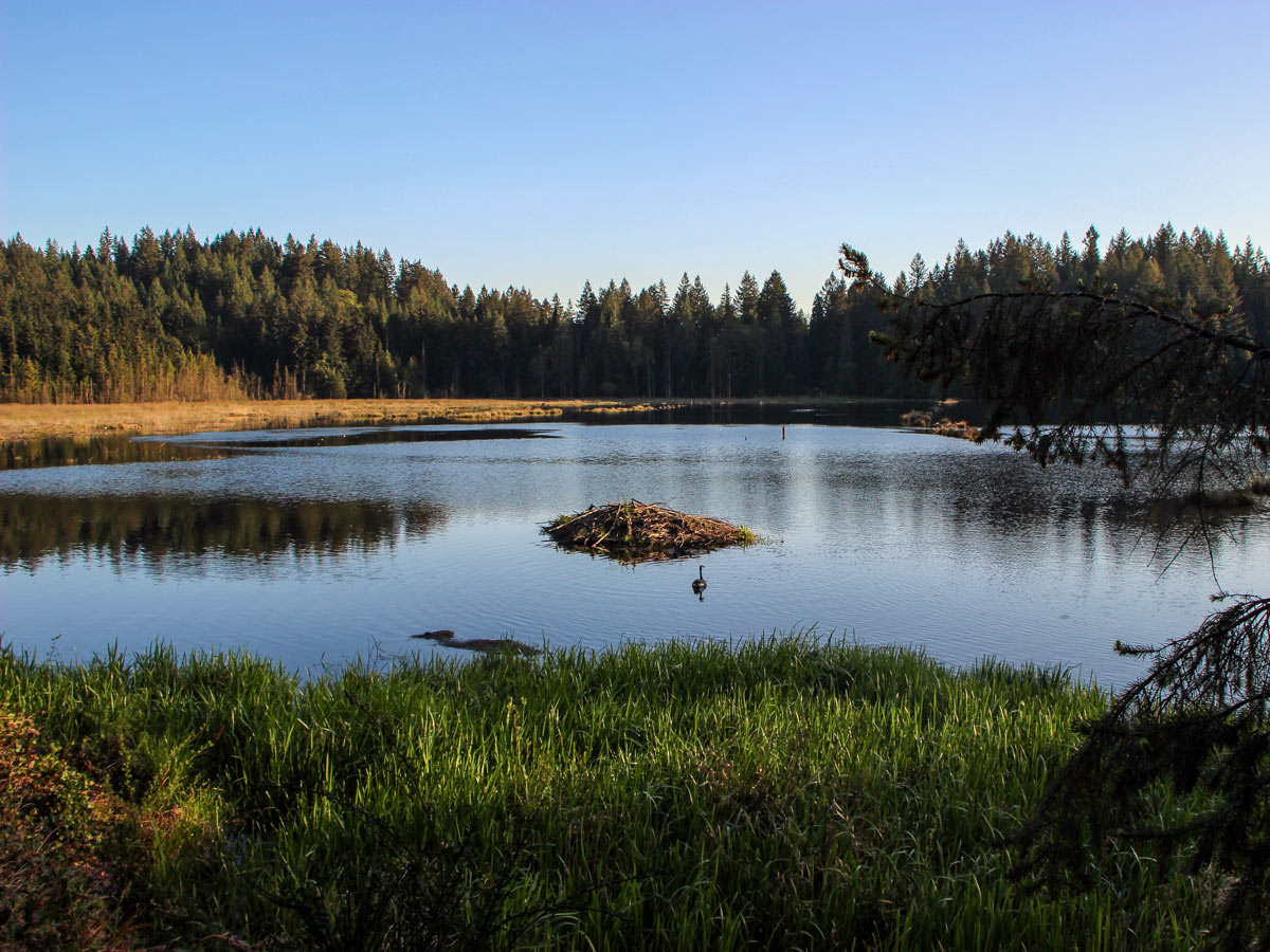
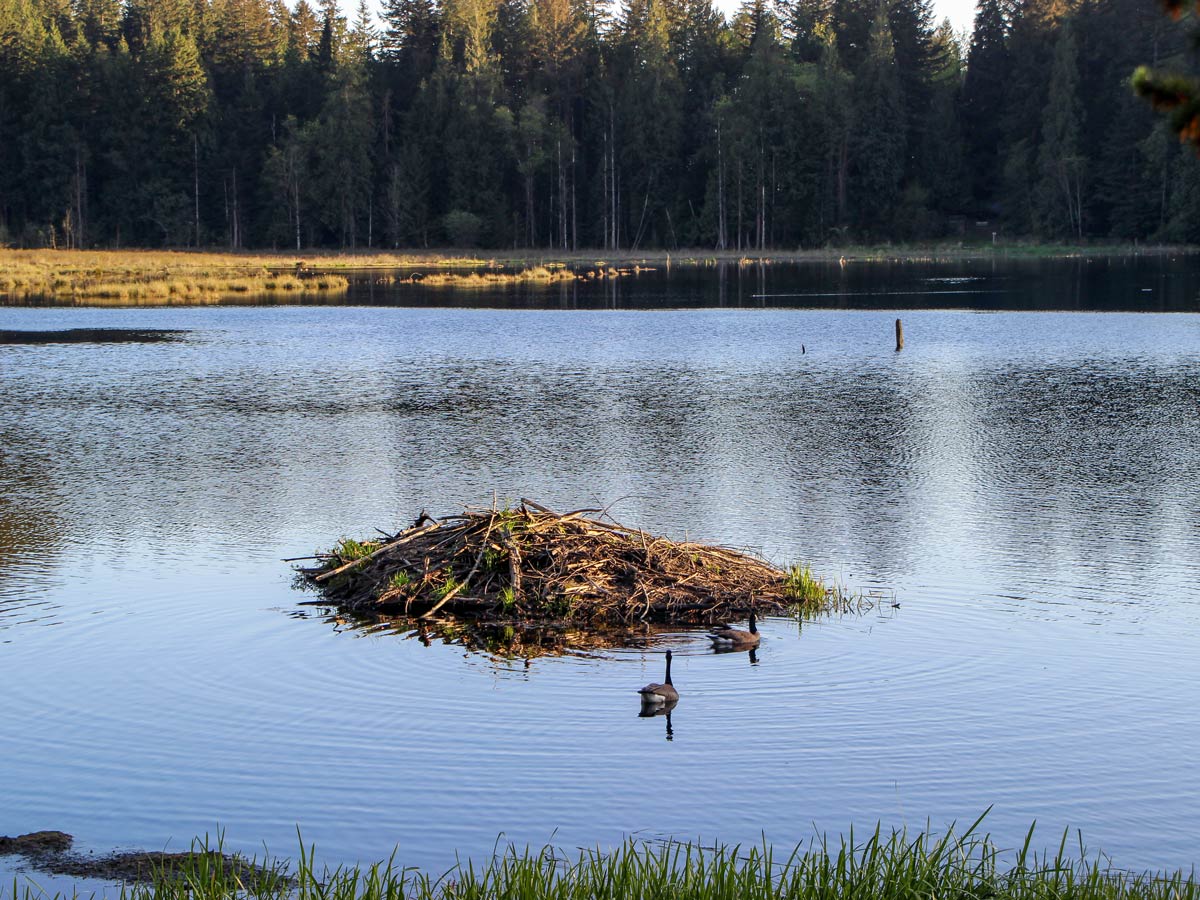
Follow the trail, as it gently slopes downwards towards the marsh. This is the perfect spot for birders to see fowl in their natural habitat or even find beavers floating in the water. Depending on the season, the marsh is also home to a wide variety of frogs that like to hangout along the edges of the marsh.
Walk across the dyke, a thick wall that prevents flooding and splits the marshland, while taking in the scenery.
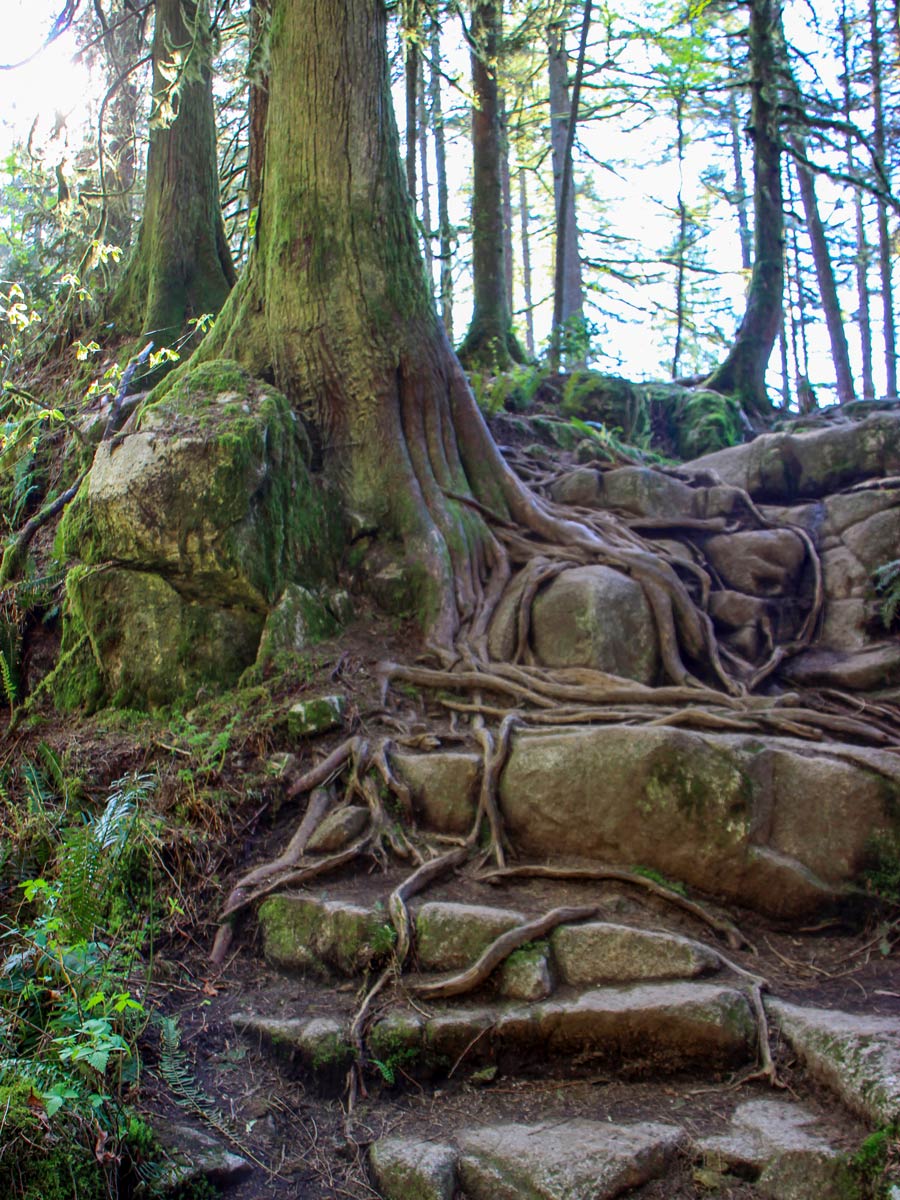
From here, prepare for a short, but steep ascent, then follow the trail as it winds downwards again towards a small creek.
0.8mi into the hike, the path will split for either the High Knoll or the Low Knoll. Follow the signs for the Low Knoll, as it’s a quick detour from here. Take the first trail on your right, and do the small climb to the Low Knoll lookout. The views are partially obstructed here, but still pretty. Double back towards where the path split and this time, go in the direction of High Knoll.
After 15 minutes, the road splits once more. Head right and continue up a steep hill to the summit of High Knoll. .
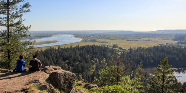
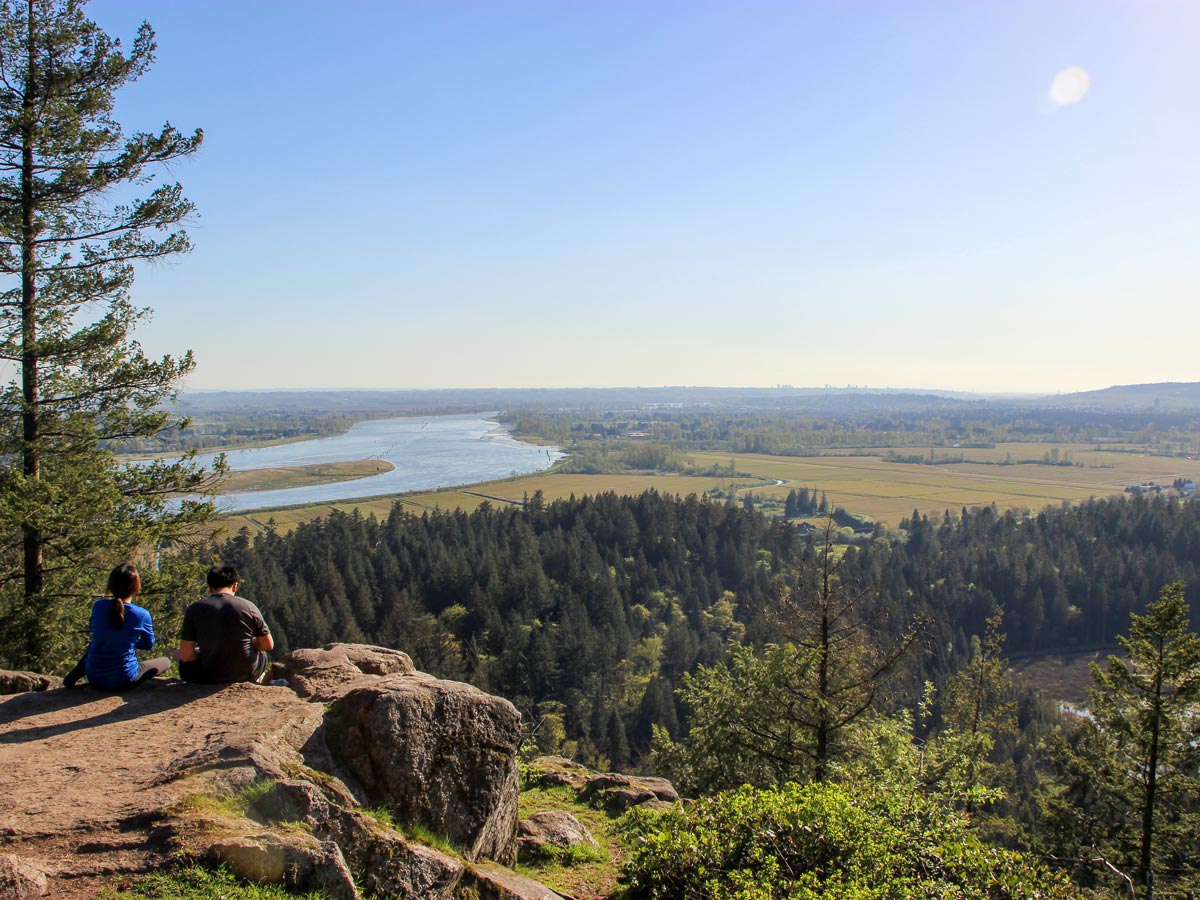
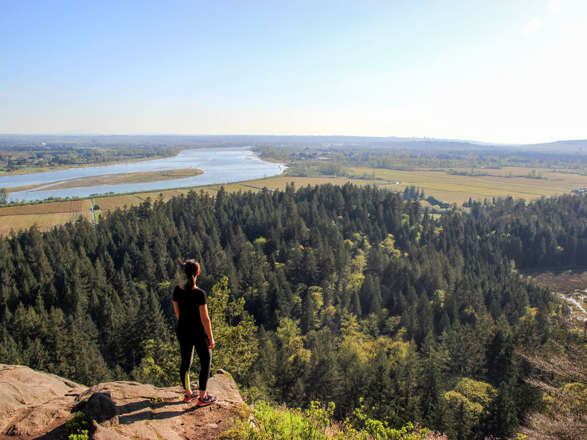
Soon, you will reach the expansive view looking south. From the High Knoll summit, you can see the park’s marsh, Minnekhada Lodge, the Pitt River, the Pitt-Addington Marsh, and the surrounding farmlands. Take a rest here or perhaps enjoy a light lunch before retracing your route back to the parking lot.
Insider Hints
If you want to see the Minnekhada Lodge, from the Low Knoll trail, keep walking along the Fern Trail, until it connects to the Minnekhada Lodge and the Lodge Trail.
A word of caution. It is common to find bears within Minnekhada Regional Park, so be alert, aware and prepared.
Similar hikes to the High Knoll hike

Trans Canada and Pandora Trail Loop
The Trans Canada and Pandora Trail Loop is a combination of several trails within the Burnaby Mountain Conservation Area that…

Quarry Trail
The Quarry Trail is a scenic hike through the beautiful wetlands of Minnekhada Regional Park that takes hikers to several…
DeBoville Slough to Addington Lookout
The hike along DeBoville Slough to Addington Marsh is an easy 6.0mi out-and-back trail along a paved path…


aeropanda 5 years ago
Lovely short hike! I want to take some time to write about how well marked the trails were. I appreciate the effort they exert to keep it clean at all times.
Allison Bailler 5 years ago
Great area for nature lovers! The expansive views at the top were remarkable. We ate some sandwiches while resting at the top. So rewarding!
Jessie Illumin 5 years ago
The views are nice. There are beautiful marshes with adorable beavers. Ascending through the slope was slightly intense, and It would be better to go slowly when the soil is slightly moist or slippery.
Emma Stanley 6 years ago
beautiful hike. pretty challenging climb but it's worth pushing through!
Florian L. 6 years ago
This hike is amazeballs. The trail was pretty rough, and it offers a decent amount of challenge as well. It can get muddy and slippery after rain, so I highly recommend checking the weather first.
Niamh Gorget 6 years ago
We all enjoy the astounding scenery. Great hike to do with friends!
Kat Colada 6 years ago
Wonderful hike. The scenery was easy on the eye, and the weather was fantastic. The air is so chilly, so we just did a brisk walk.
Jessica G. 6 years ago
It has a fantastic view at the top of High Knoll. There's also a lake where we saw hundreds of tadpoles and lots of bird species. Just be careful as there are few bear sightings lately.
Isaac Tomlins 6 years ago
I absolutely loved this hike. It has some slight incline, but it was almost unnoticeable. So much variety in one hike.
Heinrich P. 6 years ago
This hike is very stunning. The forest scenery was truly magnificent, and the view from the knoll was just amazing. The walk was pretty easy as well.