

Gold Creek Falls hike
View PhotosGold Creek Falls hike
Difficulty Rating:
Gold Creek Falls hike is a great walk for those camping nearby in Golden Ears Provincial Park or visiting Alouette Lake. With an easy, well-maintained path leading to a beautiful waterfall, this makes for a great family hike.
Getting there
Enter Golden Ears Park, follow Golden Ears Parkway all the way to the end. Follow the signs for the Gold Creek Day Area. You will drive over a small, single lane bridge. The Gold Creek parking lot is immediately over the bridge.
About
| When to do | Any season |
| Backcountry Campsites | No |
| Family friendly | Yes |
| Route Signage | Average |
| Crowd Levels | High |
| Route Type | Out and back |
Gold Creek Falls
Elevation Graph
Weather
Route Description for Gold Creek Falls
Start the Gold Creek Falls trail from the parking lot, where a wide path marked Lower Falls Trail will be easy to follow the orange markers all the way until it reaches Gold Creek Falls.
Follow the path as it gradually snakes over small hills, easy enough for even the little ones to conquer. During the warmer months, keep eyes trailed on the bushes lining the path, where blueberries and salmon berries grow wild.
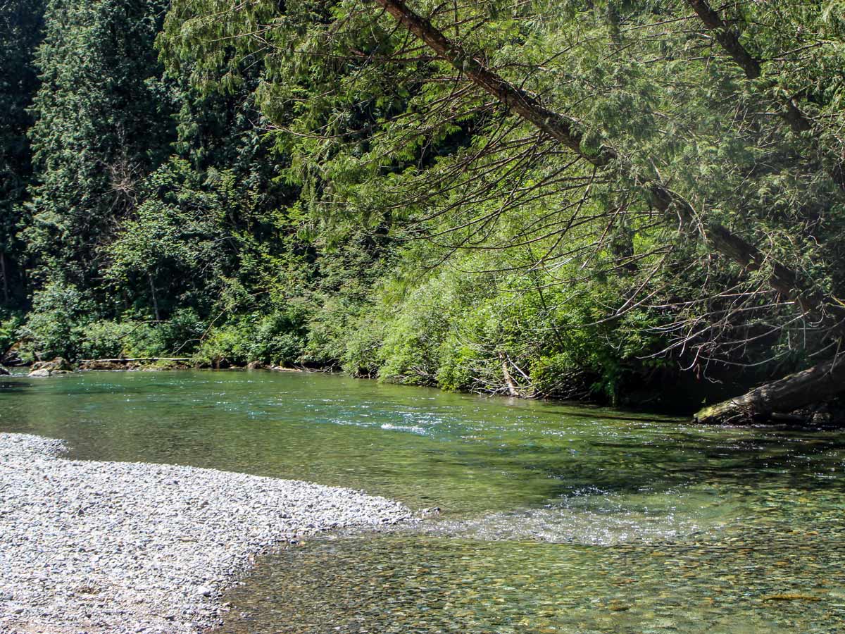
Continue northwards, following the path as it runs parallel to Gold Creek, which runs into Alouette Lake. At times, the trail may veer away from the creek, but you’ll still hear it trickling to your left.
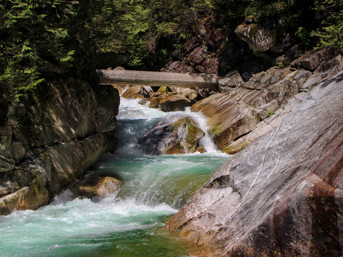
Roughly 0.7mi into the hike, there are a few dirt paths on your left-hand side that will take you directly to the creek for a closer look.
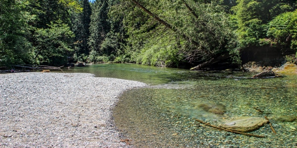
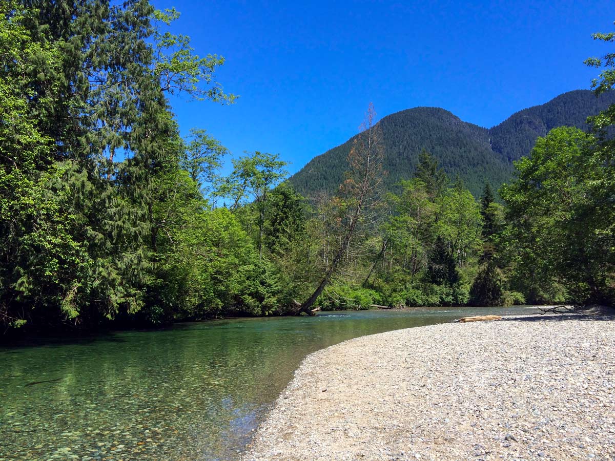
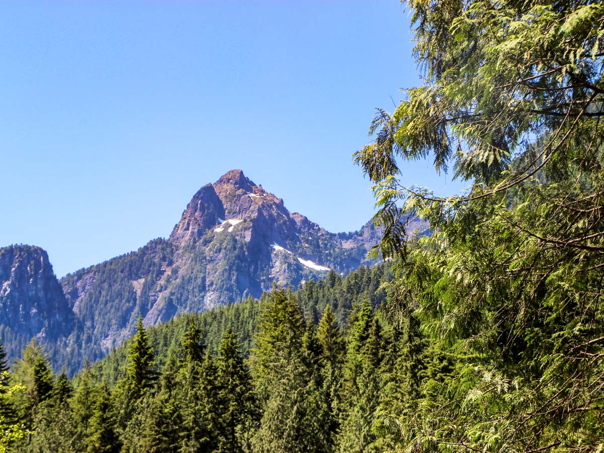
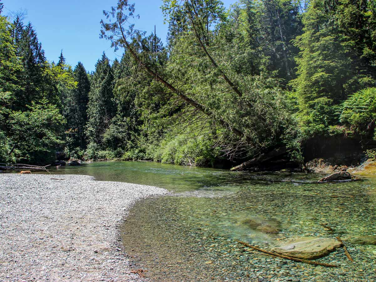
Continuing along the main trail – at 0.9mi into the hike – you’ll spot more small trails on your left. Here, you’ll find nice, large clearings perfect to stop for a picnic or even a dip if you’d like to cool off. If you look up over the treetops, you’ll even spot the mountaintops over Evans Valley.
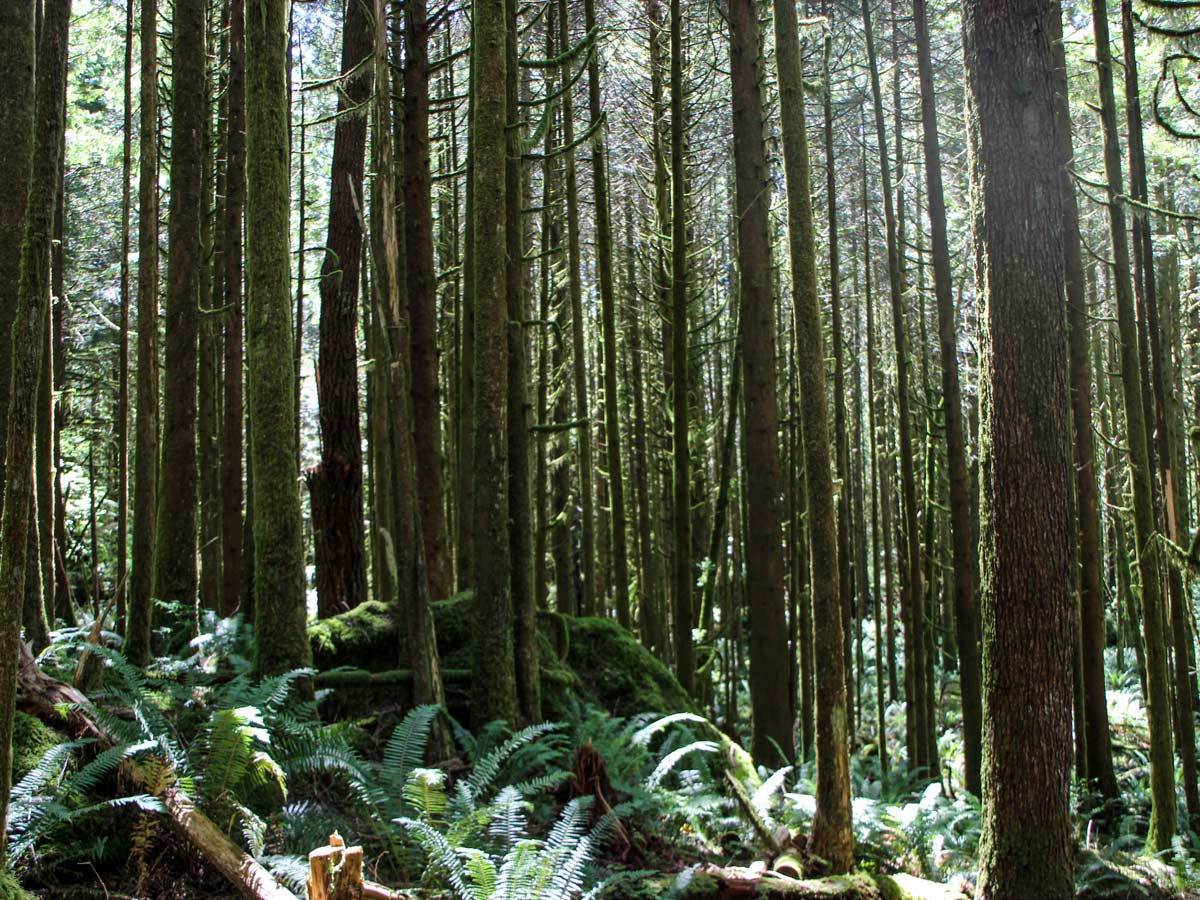
From the beach on Gold Creek, head back onto the Lower Falls Trail until you come across a wooden bridge, then carry over it until you reach a marker stating you’re 1.6mi into the hike. . Find another small bridge in the middle of the forest and cross over it. Soon, you’ll reach an outhouse and rest area.
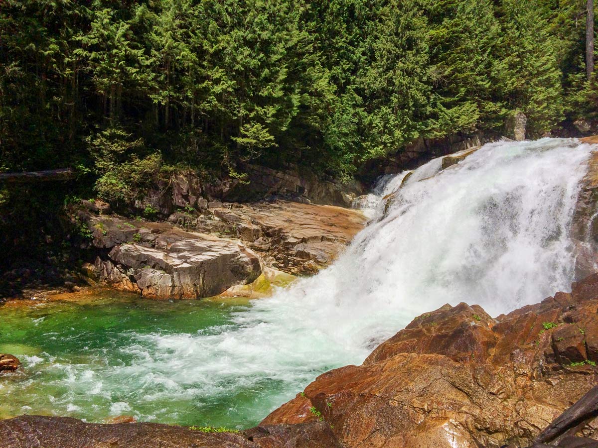
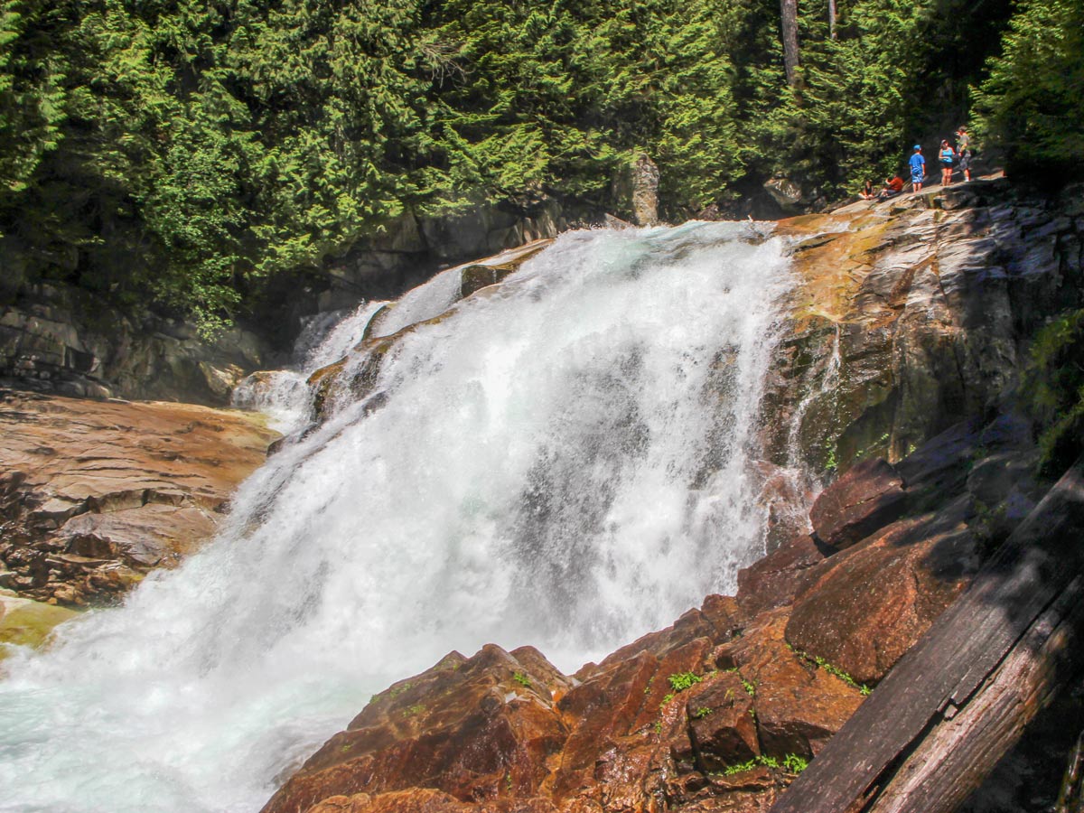
Right from the outhouse, embark on a quick uphill climb and you’ve reached the lower falls lookout platform! Glance out over the tumbling water, falling downwards into Gold Creek.
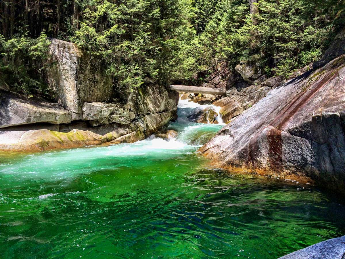
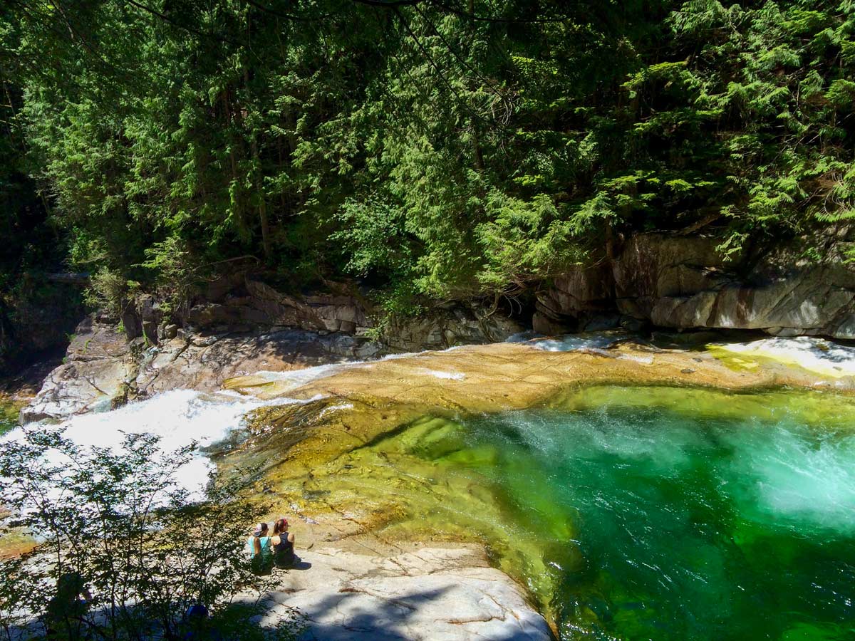
From the wooden platform, you can continue on the trail to the upper falls. Follow the trail as it leads through a switch-back and you’ve already arrived at the upper falls. Here, find a beautiful emerald green pool glistening in the sun. But please, do not swim in the falls, which is incredibly dangerous.
Take in the beauty of the falls and have a rest. When you’re ready, retrace your steps back to the parking lot.
Insider Hints
While this trail does have some small hills, the path is well-maintained and is easy if you’d like to bring a stroller.
Be sure to bring your swimsuit on the Gold Creek Falls hike during the summer, the beach makes for a great spot to cool off on a hot day.
Similar hikes to the Gold Creek Falls hike

Trans Canada and Pandora Trail Loop
The Trans Canada and Pandora Trail Loop is a combination of several trails within the Burnaby Mountain Conservation Area that…

Quarry Trail
The Quarry Trail is a scenic hike through the beautiful wetlands of Minnekhada Regional Park that takes hikers to several…
DeBoville Slough to Addington Lookout
The hike along DeBoville Slough to Addington Marsh is an easy 6.0mi out-and-back trail along a paved path…


aeropanda 5 years ago
Very easy and not overwhelming. The creek looks great. We climb up the treetop to get a glimpse of Evans Valley. Highly recommend doing it if you're capable.
Allison Bailler 5 years ago
Visiting this place gives joy to my heart. The lake and the falls look charming.
Jessie Illumin 5 years ago
We had a late start from 2pm to 4pm. Not that many people, unlike what we've heard from some of our friends. Great experience!
Fur Dates 6 years ago
Fancy trails with abundant blueberries and salmonberries. I highly recommend not picking them all up, because they serve as food for some wild animals that live in the forest.
Emma Stanley 6 years ago
one of the most beautiful and easy hikes with enough rewarding views. it is comparatively easy even though the trail is slightly uneven.
Florian L. 6 years ago
It's an entirely different world. Great views and fairly easy to do.
Molly Pineda 6 years ago
I highly appreciate the nice tourist we met. Lots of nice people. Great view.
Kenneth D. 6 years ago
Beautiful hike and great waterfall at the end. We had a great time. Great hiking experience.
Niamh Gorget 6 years ago
Takes less than an hour to actually finish it. It would take more time if you plan to roam around and closely inspect the surroundings or rest.
Kat Colada 6 years ago
We've done this several times before and loved it. We always go early and make sure we leave nothing but footprints behind.