
Florence Lake Forest Service Road
View Photos
Florence Lake Forest Service Road
Difficulty Rating:
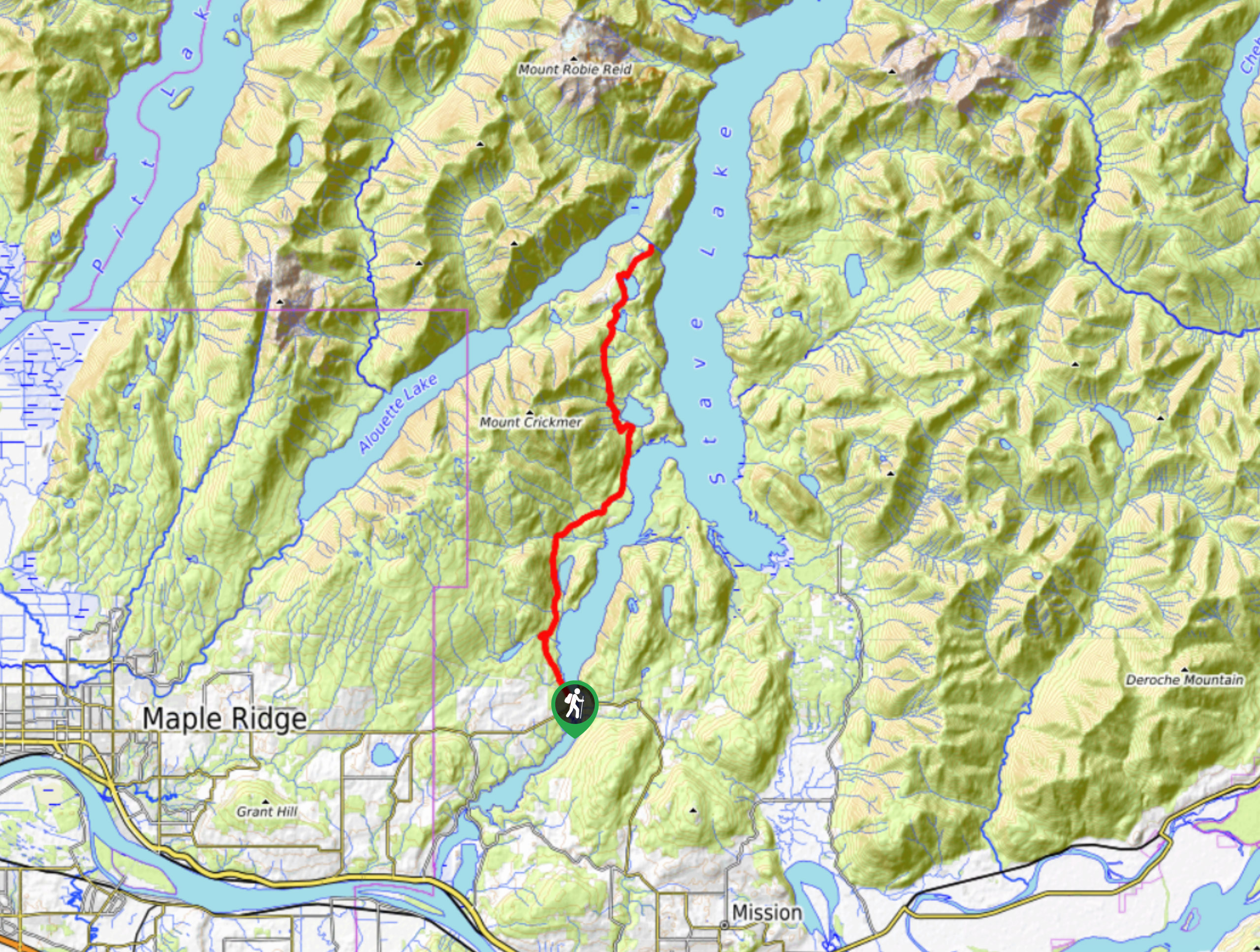
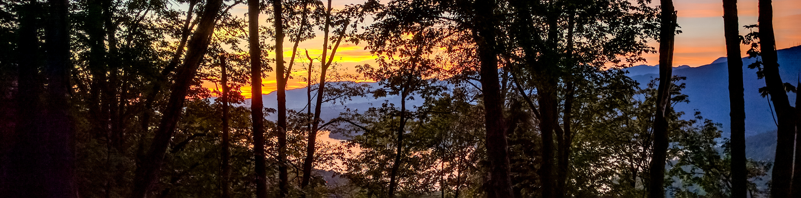
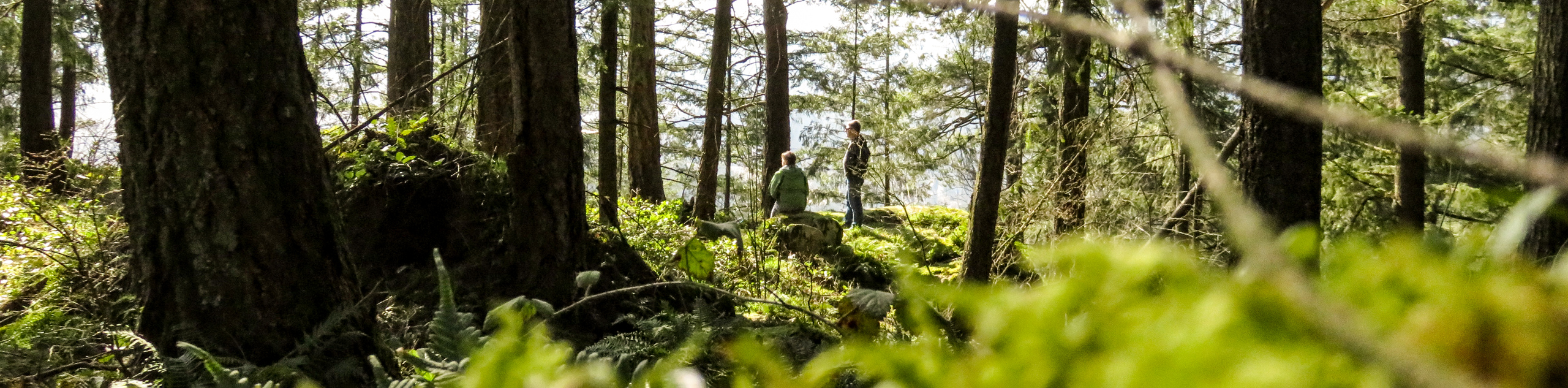
The Florence Lake Forest Service Road is a lengthy out-and-back trail near Maple Ridge, BC that travels north alongside the beautiful waters of Stave Lake. Primarily used as an off-road vehicle road, this road can also be used as a hiking route, providing that all proper precautions are taken to stay safely out of the way of traffic. Along the road, hikers will experience beautifully scenic views that stretch across Stave Lake and will have the opportunity to camp out at a number of recreation sites along the route.
Getting there
To get to the Florence Lake Forest Service Road from Maple Ridge, drive east on Dewdney Trunk Road for 10.6mi and turn left onto Burma Street/Florence Lake FSR, marking the beginning of the route.

About
| When to do | Year-Round |
| Backcountry Campsites | Rock Creek Campsite, Sayres Lake Recreation Site |
| Pets allowed | Yes - On Leash |
| Family friendly | No |
| Route Signage | Average |
| Crowd Levels | Low |
| Route Type | Out and back |
Florence Lake Forest Service Road
Elevation Graph
Weather
Florence Lake Forest Service Road Description
The Florence Lake Forest Service Road is a 25.1mi out-and-back route that is most commonly used as a scenic driving/off-road vehicle route; however, it can also be used as a long distance hiking route. Anyone wishing to do so should be careful along the road and stick to hiking along the side, as there is a decent volume of traffic in the area, especially on hot summer days. Setting out from the area around Stave Falls, the road travels north and runs parallel to the lengthy expanse of Stave Lake, passing by several smaller bodies of water including: Devil’s, Sayres, Morgan, and Florence lakes. Hikers utilizing this trail will be able to take in some amazing views over Stave Lake, as well as the rugged mountains within Golden Ears Provincial Park to the northeast.
Similar hikes to the Florence Lake Forest Service Road hike
Trans Canada and Pandora Trail Loop
The Trans Canada and Pandora Trail Loop is a combination of several trails within the Burnaby Mountain Conservation Area that…
Quarry Trail
The Quarry Trail is a scenic hike through the beautiful wetlands of Minnekhada Regional Park that takes hikers to several…
DeBoville Slough to Addington Lookout
The hike along DeBoville Slough to Addington Marsh is an easy 6.0mi out-and-back trail along a paved path…
Comments