Cypress Lake Trail
View Photos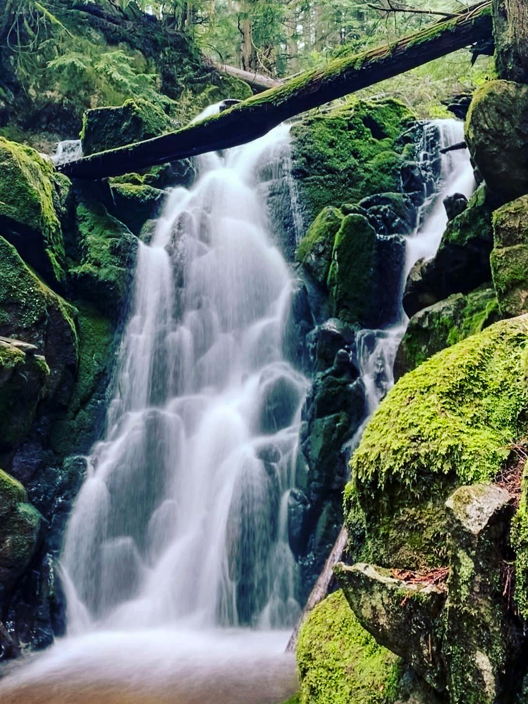
Cypress Lake Trail
Difficulty Rating:
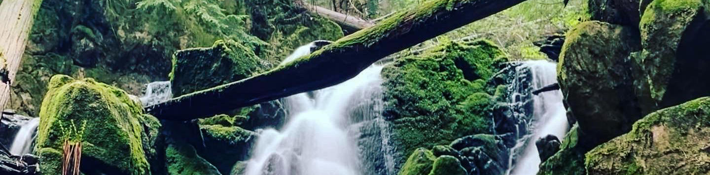
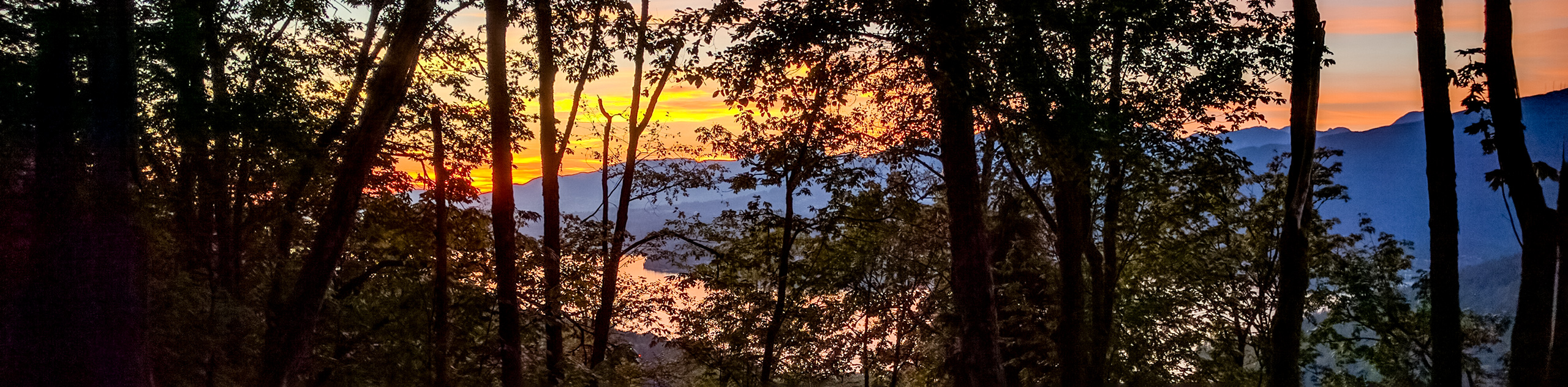
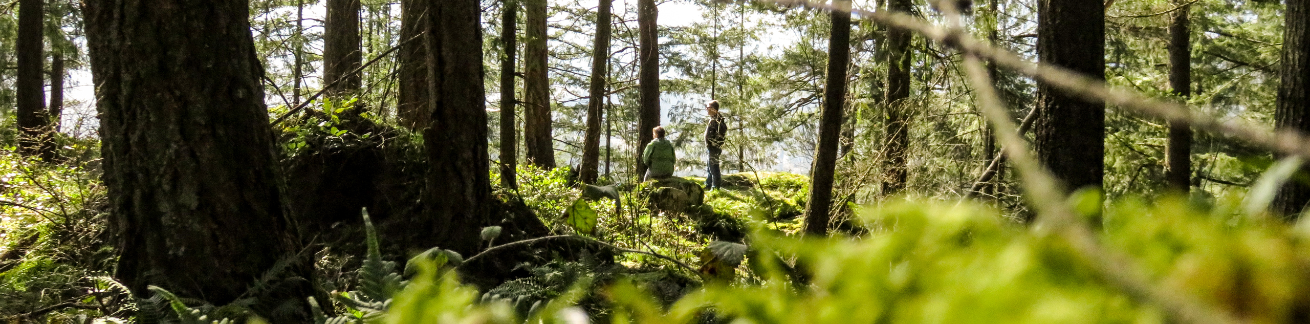
The Cypress Lake Trail is a 5.7mi out-and-back that passes through the dense forests near Coquitlam and ends at a beautiful lake. This trail is slightly less-travelled than some of the other trails in the area, making it the perfect option if you are looking for a bit of solitude in the forest. Make sure to bring your camera to take some photos of the reflective surface of the lake if the weather is calm enough.
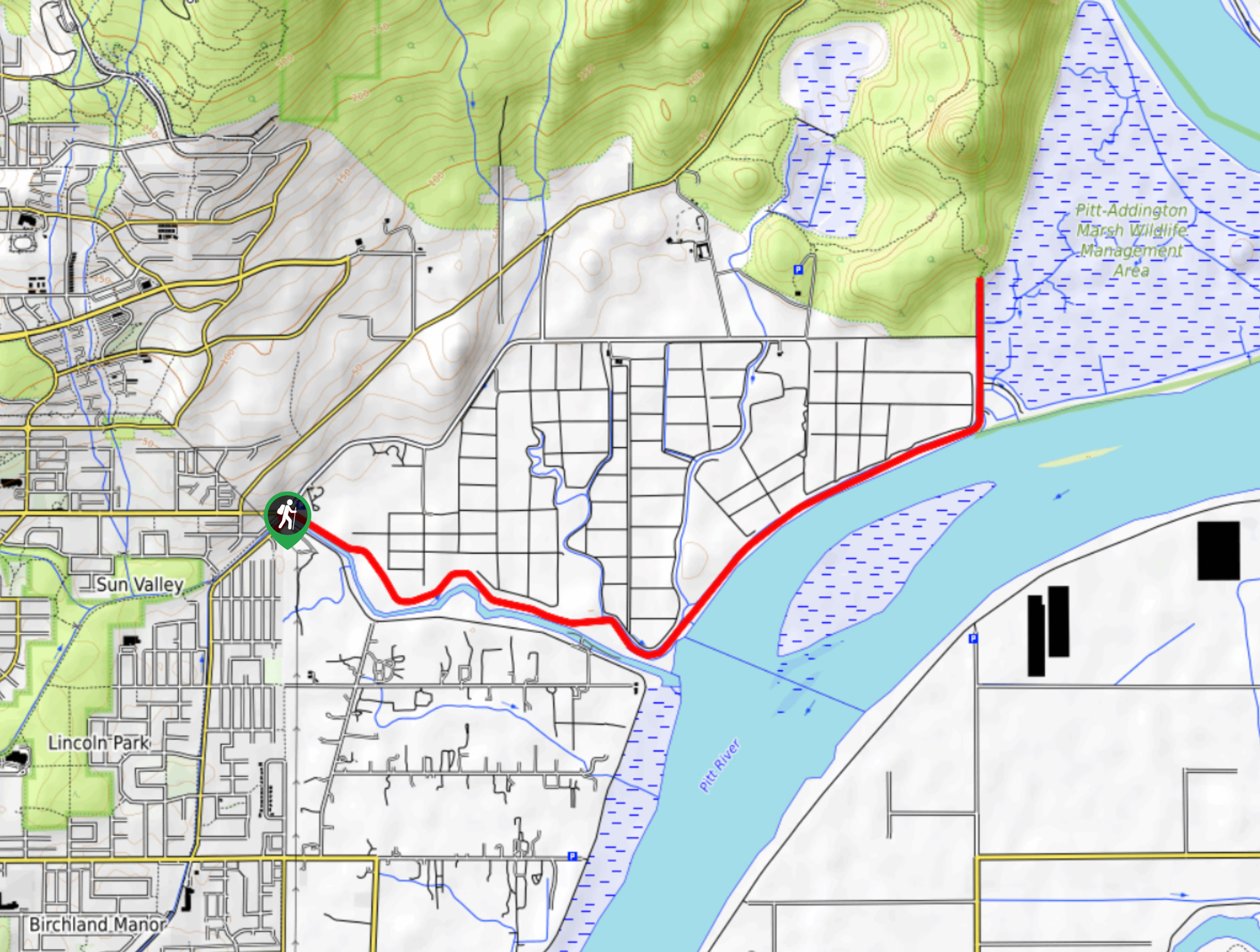
Getting there
To reach the Cypress Lake trailhead from Coquitlam, drive west on Guildford Way, making a right on Johnson Street and following it for 0.7mi. Turn left onto David Avenue, continuing on for 1.1mi before turning right onto Forest Park Way. After 1969ft, make a right onto Maple Court and a quick left onto Maple Drive. The trailhead will be 1640ft ahead on the right side of the roundabout.

About
| When to do | March-November |
| Backcountry Campsites | No |
| Pets allowed | Yes |
| Family friendly | No |
| Route Signage | Poor |
| Crowd Levels | Moderate |
| Route Type | Out and back |
Cypress Lake Trail
Elevation Graph
Weather
Cypress Lake Trail Description
The Cypress Lake Trail is a less-travelled hike near Coquitlam that follows along a number of trail segments, including The Wall and Lungbuster trails, before making its way around the base of Cypress Mountain to reach Cypress Lake. Here, hikers will have beautiful views of a picturesque lake that has a reflective surface during calm weather, causing it to create a mirror image of the surrounding forest landscape.
While the trail isn’t particularly difficult, it is rated as hard due to some technical portions of the trail that include loose rock, roots, mud, small rock falls, and a tricky crossing over Noons Creek on the return route. Hikers who would like to avoid this crossing can return along the exact trail they used to reach the lake by turning left at the trail junction where the Dentist Trail meets the Sidewinder. Make sure to utilize a trail map or GPS to stay on the correct route.
Similar hikes to the Cypress Lake Trail hike
Trans Canada and Pandora Trail Loop
The Trans Canada and Pandora Trail Loop is a combination of several trails within the Burnaby Mountain Conservation Area that…
Quarry Trail
The Quarry Trail is a scenic hike through the beautiful wetlands of Minnekhada Regional Park that takes hikers to several…
DeBoville Slough to Addington Lookout
The hike along DeBoville Slough to Addington Marsh is an easy 6.0mi out-and-back trail along a paved path…
Comments