

Crystal Falls hike
View PhotosCrystal Falls hike
Difficulty Rating:
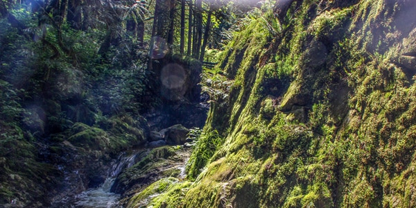
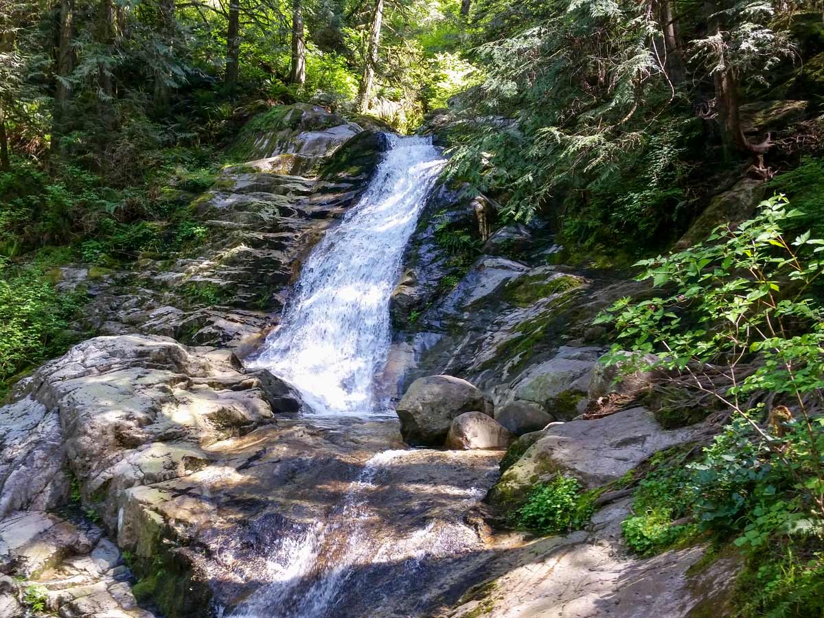
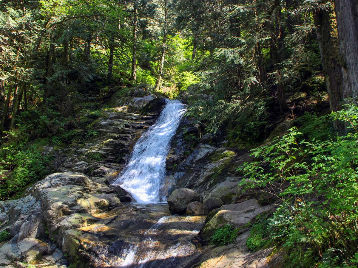
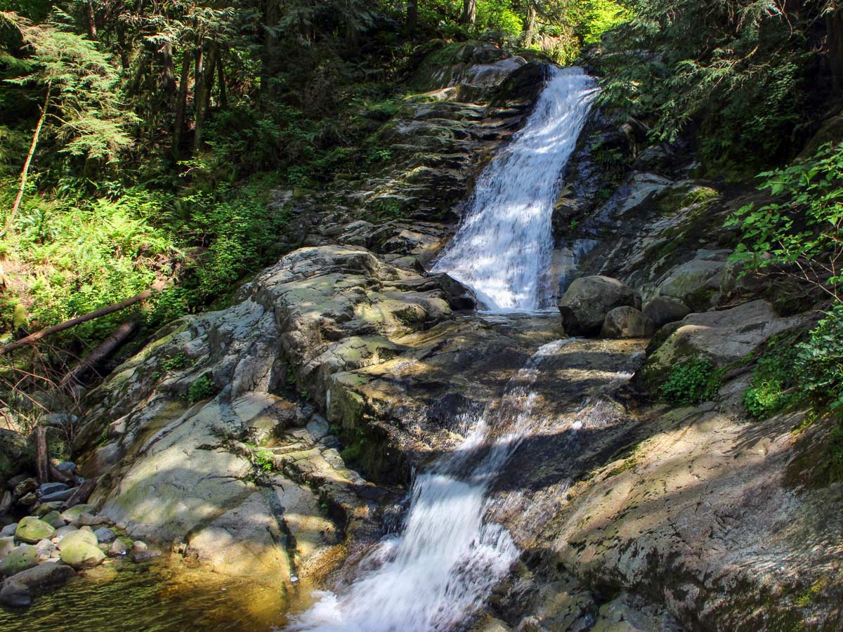
Crystal Falls is a gentle hike following the Upper Coquitlam River, which ends at the stunning Crystal Falls waterfall on Pritchett Creek. While this is an all-year trail, summer takes this hike to the next level, with crystal clear canyon pools available for a refreshing dip.
Getting there
Coming from either Lougheed Highway or the Barnet Highway, head north on Pinetree Way in Coquitlam. Drive past Douglas College and Town Center Park and turn right onto David Ave. Drive another few minutes and turn left onto Shaughnessy Street. You will come to Karley Crescent, where you can find parking.
About
| When to do | Any season |
| Backcountry Campsites | No |
| Family friendly | No |
| Route Signage | Average |
| Crowd Levels | Moderate |
| Route Type | Out and back |
Crystal Falls
Elevation Graph
Weather
Route Description for Crystal Falls
Kick off the Crystal Falls Hike on Karley Crescent and find the path leading into the forest, before heading down a steep slope until you reach a signboard. The Coquitlam River should be on your left.
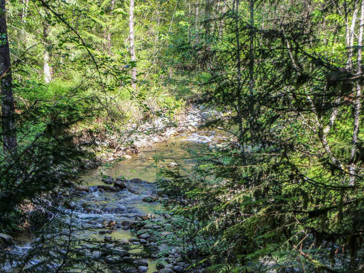
Within a few minutes into the hike, the path will open up and you’ll find yourself next to the waters edge, where you may spot swimmers or sunbathers enjoying a dip on hot days. But, you can also spot spawning fish, crayfish and little minnows here as well.
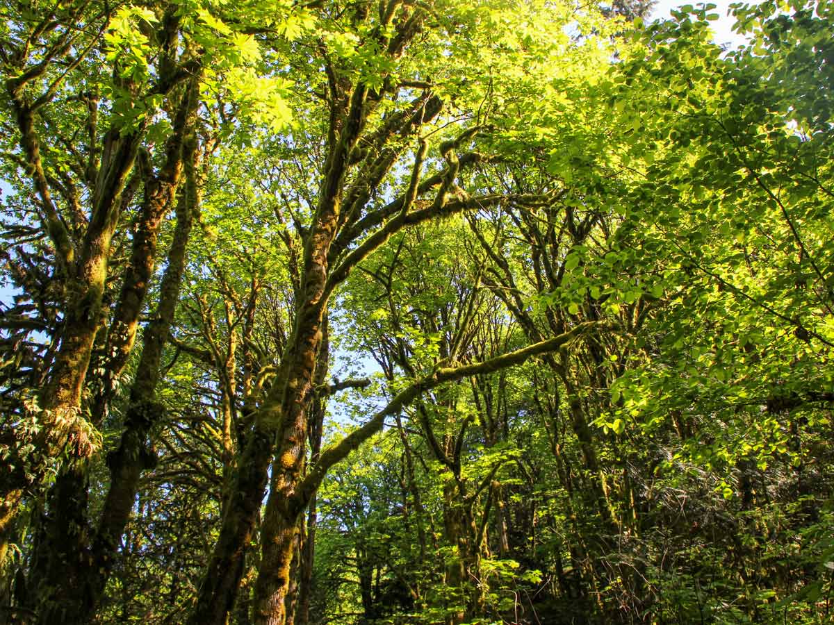
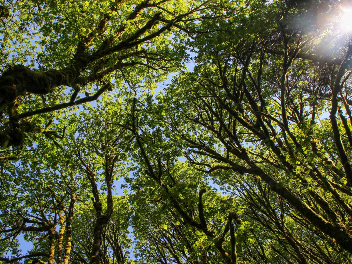
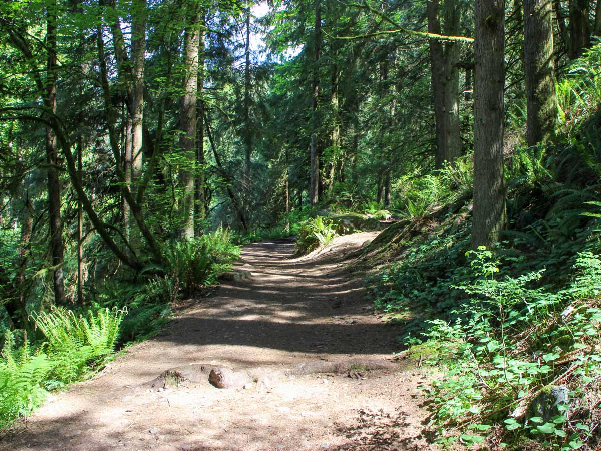
Continue along the path as it flows up and down, then zig zags left and right. The forest can be dense with towering trees, leaving hikers feeling as if they’ve left the city far behind.
Keep following the trail north, with the Coquitlam River off to your left. At times, you’ll have to jump over or walk through small patches of the stream, which can be slippery and muddy outside the height of summer. Within 0.6mi, you’ll reach a small marsh, home to an abundance of skunk cabbage.
Eventually, you’ll reach an offshoot trail on your left, about 1.2mi into the trail, which will be marked by an orange flag. Pass by a run-down and rusted pickup truck, left behind years ago, though there isn’t much to look at after years of decay.
Hop, skip or jump over a final stream, you’re in the home stretch to the waterfall now.
Follow the trail to the right, as it leads up to Crystal Falls. Climb, carefully, up to the highest point in the trail to get a closer look at the water as it tumbles down into Coquitlam River.
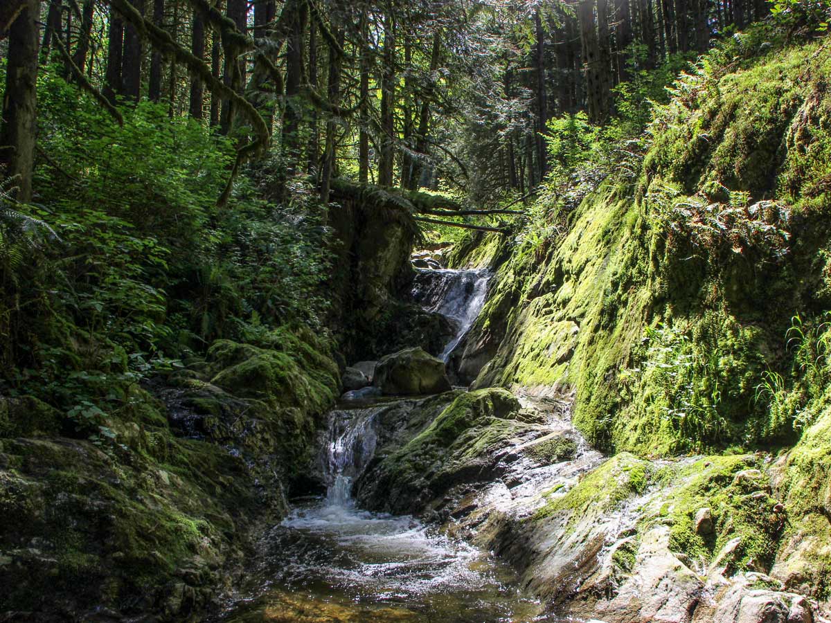
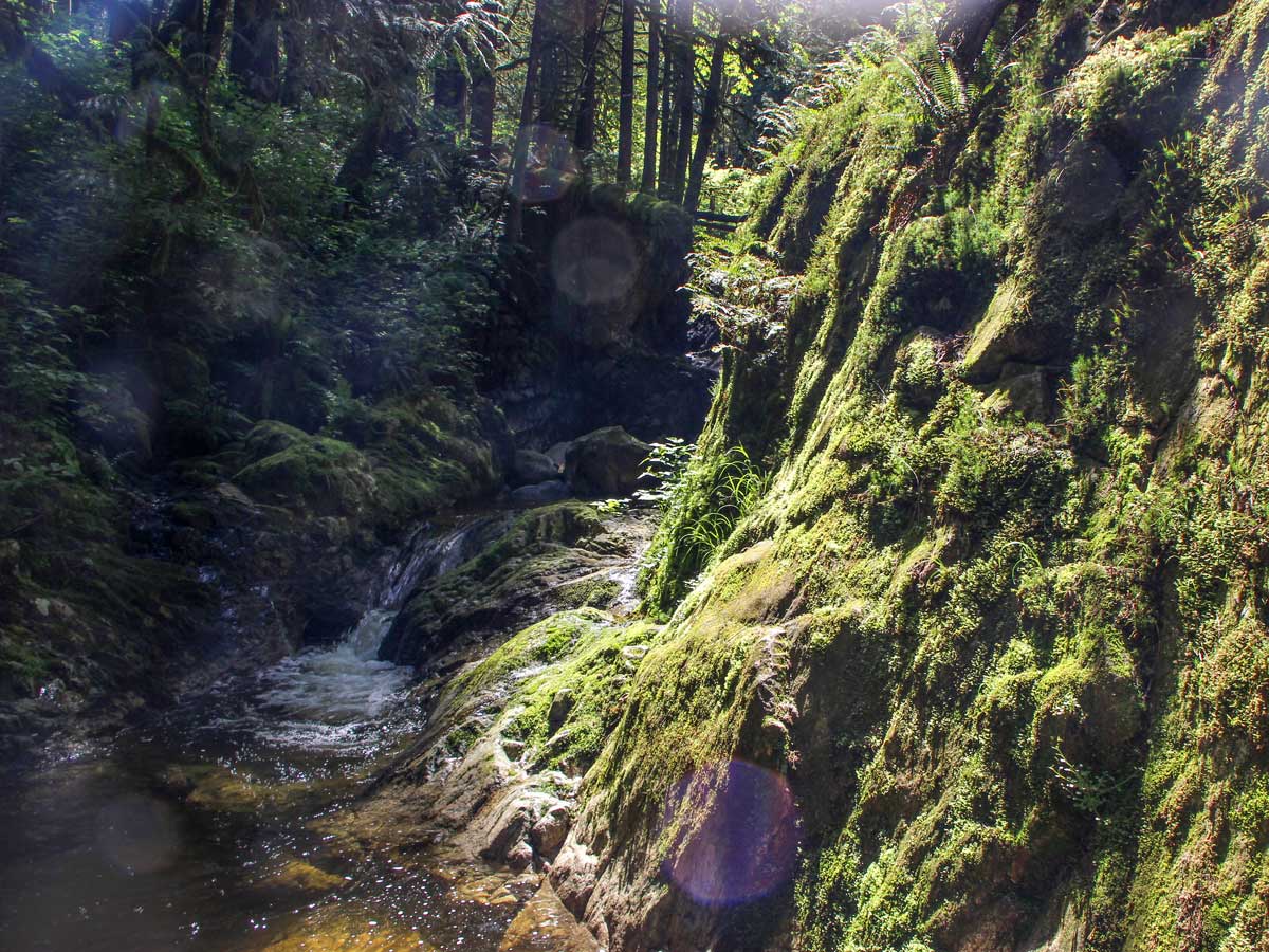
At the top of Crystal Falls, around the corner, you’ll find a small, scenic canyon where Pritchett Creek has carved its way.
After you’ve snapped a few photos and had time to rest, it’s time to refollow the path back towards the car.
Insider Hints
Bears and cougars have been spotted on the Crystal Falls trail. Keep an eye out for any signs outlining recent sightings.
Similar hikes to the Crystal Falls hike

Trans Canada and Pandora Trail Loop
The Trans Canada and Pandora Trail Loop is a combination of several trails within the Burnaby Mountain Conservation Area that…

Quarry Trail
The Quarry Trail is a scenic hike through the beautiful wetlands of Minnekhada Regional Park that takes hikers to several…
DeBoville Slough to Addington Lookout
The hike along DeBoville Slough to Addington Marsh is an easy 6.0mi out-and-back trail along a paved path…


aeropanda 5 years ago
I spent most of the time admiring the scenery and not looking where I'm walking. Pretty fun but not cool when I tripped. Boo boos are ugly!
Stella Winster 6 years ago
Crystal Falls looks very striking. So nice to capture some nice slow shutter shots using my new phone. It's so worth it.
Fur Dates 6 years ago
The views are great! Enough motivation to try and continue. Absolutely worth it.
Florian L. 6 years ago
The path was consistently uneven but it's not that hard. My only advice is to wear comfortable shoes!
Molly Pineda 6 years ago
Beautiful canyon pools and falls. It actually takes so little time to get there. It's not heavily trafficked, so It's better to take everything slowly.
Jessica G. 6 years ago
This hike is quite challenging because some parts of the trail which is muddy or slippery. Bringing spare footwear will definitely help you with this hike.
Rixy H. 6 years ago
moderate hike that offers amazing views of the crystal calls...there's a cool spot at the top of the crystal falls wherein you'll see a stunning view of a beautiful canyon.
Suzane L. 6 years ago
Highly recommended to start as early as you can. We saw the beautiful view of the water tumbling down and it was awesome.
Isaac Tomlins 6 years ago
Nice environment and ecosystem. Spotted some crayfish and little minnows. It's a wonderful hike!
Kenneth D. 6 years ago
It was fun walking along the creek. The fall itself was mesmerizing.