Burnaby Mountain Park Hike
View Photos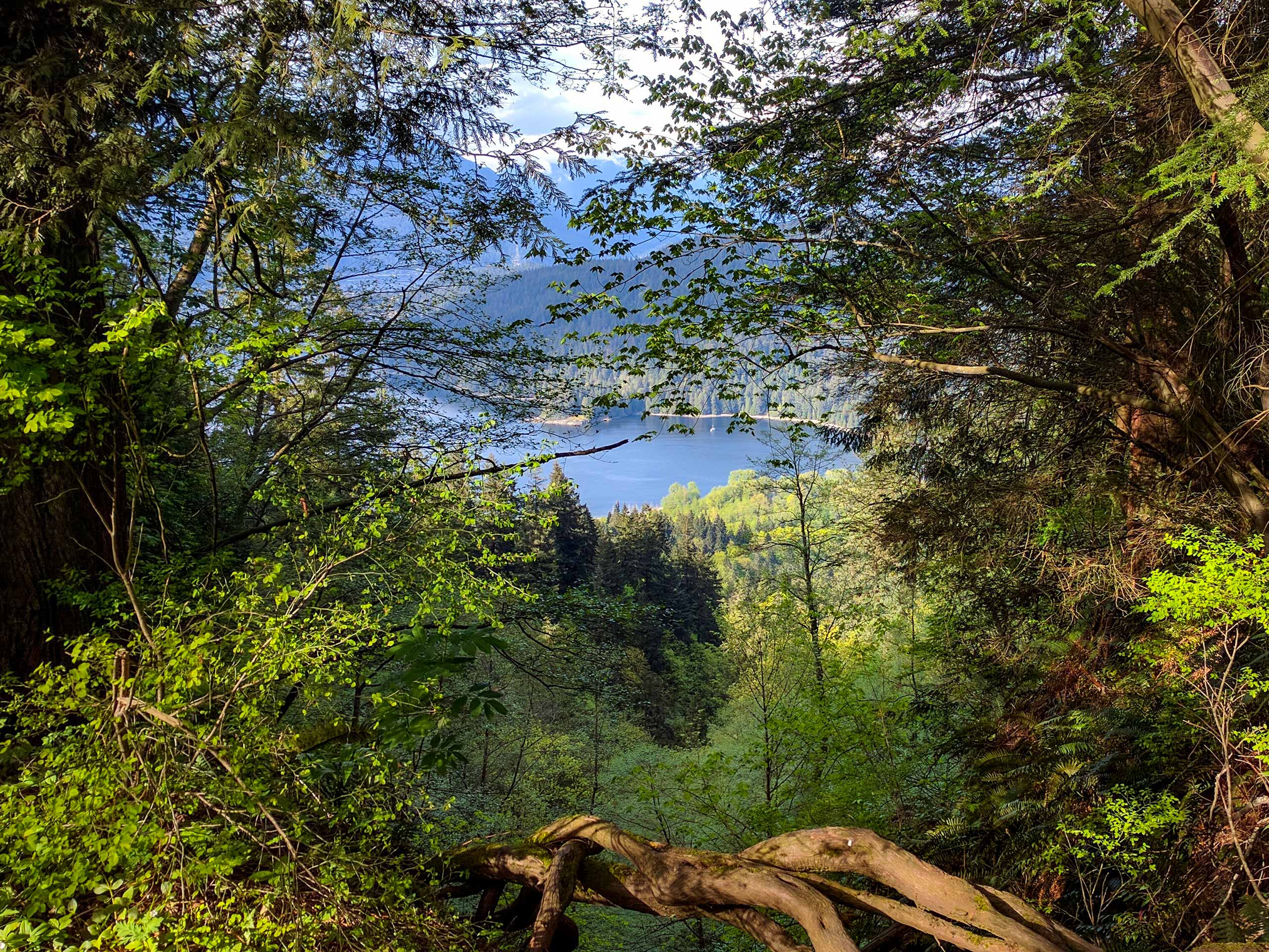
Burnaby Mountain Park Hike
Difficulty Rating:
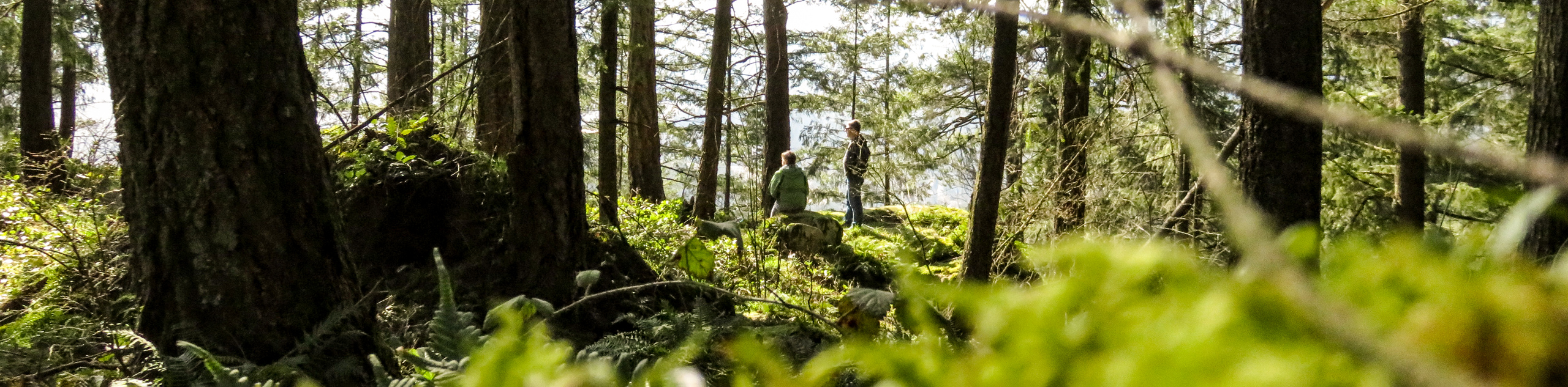
Home to Simon Fraser University, Burnaby Mountain also hosts 17.4mi of hiking trails that make their way throughout the Burnaby Mountain Conservation Area. Enjoy spending the day losing yourself in its network of trails, climbing to the top of the mountain to spot distant peaks, or heading downhill to hit up the mountain bike trails. Don’t forget to check out the wood-carved totems that stand high in the sky near the Horizons restaurant.
Getting there
To get to the Burnaby mountain Trail parking lot from Vancouver, follow the Trans Canada Highway/BC-1 East and take exit 37 onto Gaglardi Way. Continue on Gaglardi way for 1.6mi and use the right lane to turn onto Broadway. In 1969ft turn left onto North Road. Follow North Road for 850m, and the parking lot will be on your left.

About
| When to do | Year-Round |
| Backcountry Campsites | No |
| Pets allowed | Yes - On Leash |
| Family friendly | Older Children only |
| Route Signage | Average |
| Crowd Levels | Moderate |
| Route Type | Lollipop |
Burnaby Mountain Park Hike
Elevation Graph
Weather
Burnaby Mountain Park Trail Description
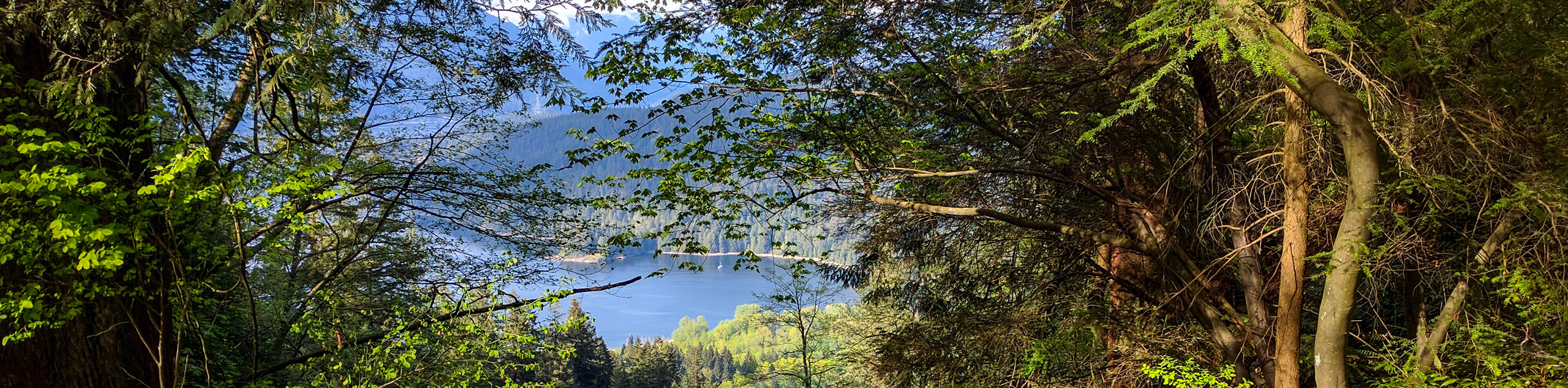
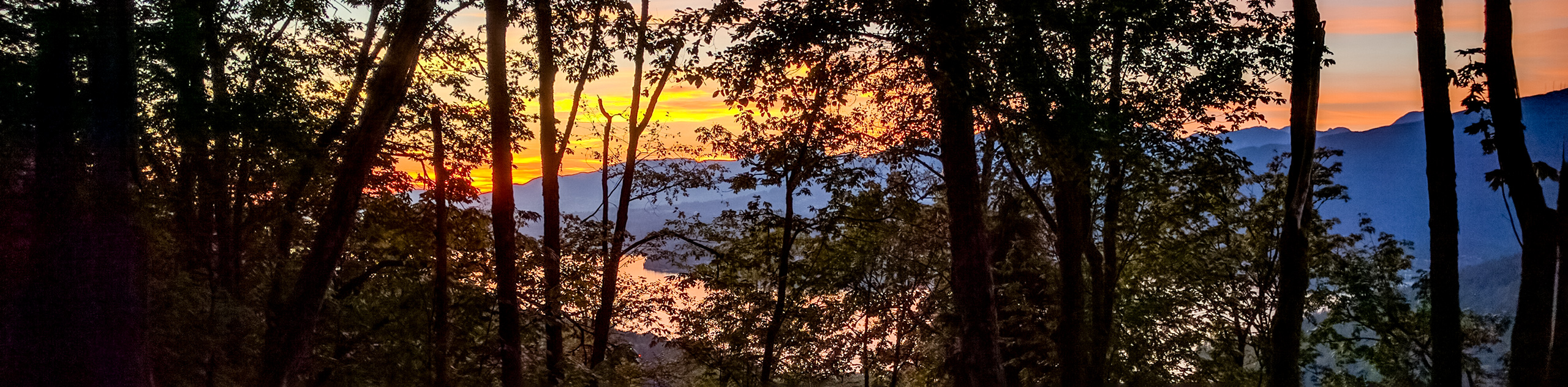
The Burnaby Mountain Park Hike is a popular trail that skirts along the edge of Simon Fraser University, within the Burnaby Mountain Conservation Area. The area is home to various species of wildlife, including coyotes, eagles, deer, owls, and even the occasional black bear. With a modest elevation gain of 1188ft, this trail is a family-friendly option for those looking to see some wildlife while taking in the beautiful views of Metro Vancouver, Burrard Inlet, and Indian Arm.
From the Burnaby Mountain Trail parking lot on North Road, follow the Pipeline Trail West for 492ft to reach a junction with the Powerline Trail. Turn right and follow this path north through the strip of cleared forest for 0.6mi to reach the junction marking the Trans Canada Trail. This will begin the loop that will lead you around the Burnaby Mountain area.
Follow the path to the right, where you will catch a glimpse of the Burrard Inlet and Belcarra as the trail begins to head downhill. After following the power lines for 820ft, you will come upon a power line tower, and the trail will turn into a private, closed path. Follow the path to the right of the sign to continue on the Trans Canada Trail. From here, the trail will start a sharp decline through the forest as you approach the Suncor Energy Refinery on your right.
Next to the refinery, there will be a junction marked as the Cougar Creek Trail. Take this path to the left and continue through the forest, as it will connect you to the Barnet Trail that spans the lower portion of the hike. Follow this trail West as it skirts the Barnet Highway on your right side. After passing over a wooden bridge, the trail will begin to climb over a small, steep hill before continuing on the gravel path as it approaches the Mountain Air Bike Skills Park. Keep moving along the trail as it traces around the edge of the large parking lot toward a wooden bridge that spans a small creek. Cross the bridge, and continue on the trail through the forest.
You will soon see a sign marking the Mountain Air Trail. At this point of the hike, the trail begins to narrow and become rockier than previous stretches of gravel. As you make your way through the dense forest, take a few moments to read the informative signs about the various species of trees in the area, such as bigleaf maple, western hemlock, western redcedar, and douglas fir.
This densely forested portion of the hike will continue for approximately 0.6mi before you reach the junction for the Velodrome Trail. Head left to begin your ascent of the 500 stairs along the trail with an elevation gain of 328ft. While this part of the hike is certainly the most physically demanding, it offers several viewpoints looking out over the Indian Arm and the surrounding area.
Reaching the top of the Velodrome Trail, head left at the junction to follow the Pandora Trail as it climbs uphill toward another popular access point to the trail located near the Horizons Restaurant. Take the opportunity to rest while walking around the area, observing the masterfully carved wooden totems created by the Japanese sculptors Nuburi Toko and his son Shusei. These beautiful animal totems were crafted to commemorate Burnaby’s relationship with its sister city Kushiro in Japan.
After resting up, continue along the trail, and take in the far-reaching views of the Indian Arm, Deep Cove, the Diez Vistas, and Burrard Inlet. Follow the path left along the fence, continuing on the Trans Canada Trail as you pass by a colourfully painted octopus mural that wraps around a water reservoir. Moving along the gravel path, you will reach another junction with a Burnaby Mountain Conservation Area map. Follow the trail to the left as it starts to descend downhill.
Keeping on the path, Simon Fraser University will be on your right side, and in the distance, you will be able to spot Grouse, Seymour, and Crown mountains. From here, the trail will continue with some minor changes in elevation before reaching a series of wooden bridges. After crossing over the bridges, the trail will begin to climb, transitioning to a brief switchback, and descending back downhill again.
On this final stretch of the hike, you will continue downhill with views of Mamquam Mountain and Mount Bishop beyond the water in the distance. Head straight down the trail, passing by the junctions for Cardiac Hill and Mel’s Trail before arriving at the start of the loop along Powerline Trail. Head down the trail to the right to return to the carpark and complete your hike along the Burnaby Mountain Park trail.
Insider Hints
The trails in the area are generally well maintained, although they can become muddy in some places. Wear proper hiking footwear.
The area around the stairs at the bottom of the Velodrome Trail can become congested due to high foot traffic. Be patient and mindful of other hikers using the stairs.
Best to arrive early to secure parking and avoid the high-volume traffic around the mountain from midday on.
Similar hikes to the Burnaby Mountain Park Hike hike
Trans Canada and Pandora Trail Loop
The Trans Canada and Pandora Trail Loop is a combination of several trails within the Burnaby Mountain Conservation Area that…
Quarry Trail
The Quarry Trail is a scenic hike through the beautiful wetlands of Minnekhada Regional Park that takes hikers to several…
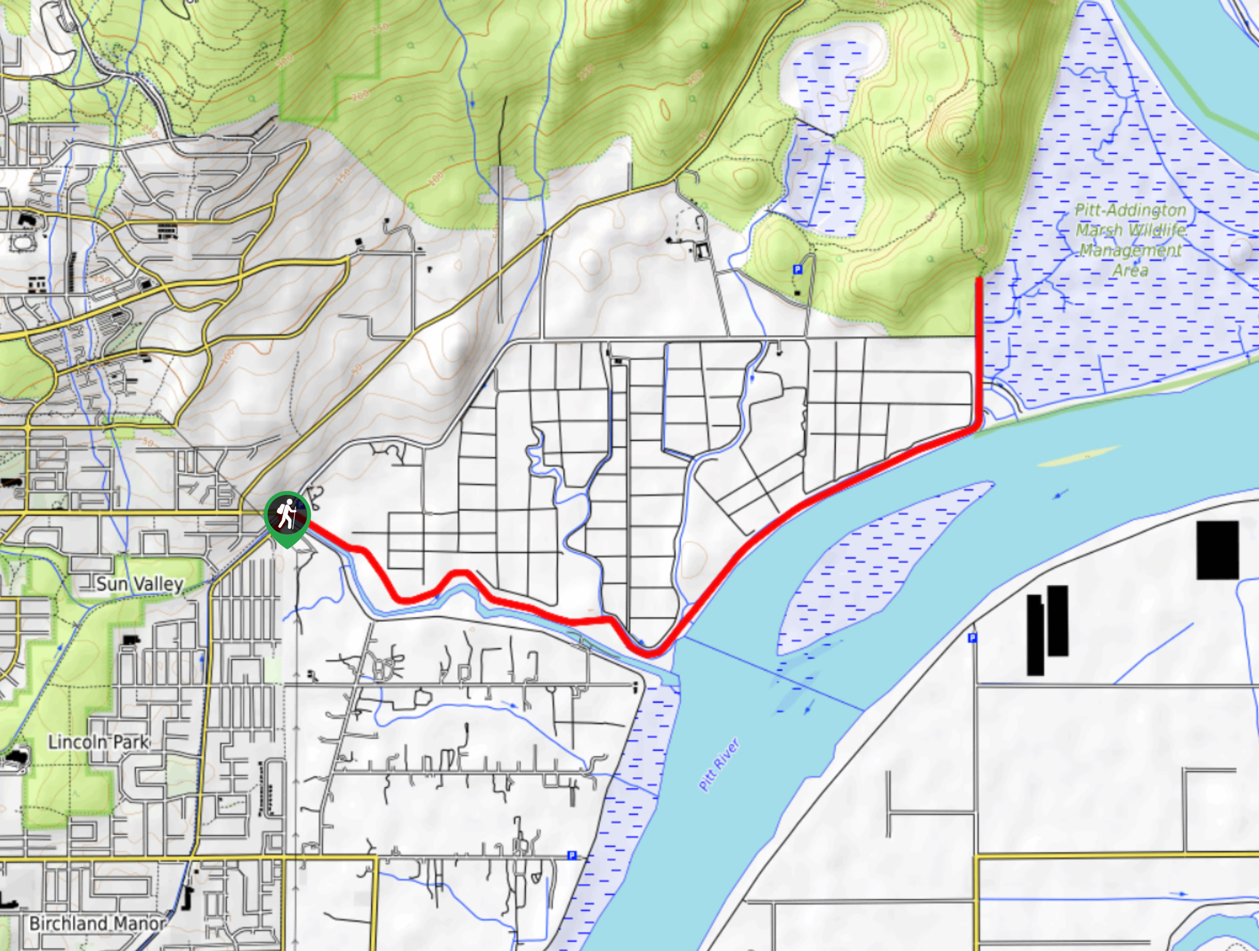
DeBoville Slough to Addington Lookout
The hike along DeBoville Slough to Addington Marsh is an easy 6.0mi out-and-back trail along a paved path…
Comments