

Alouette Mountain Trail
View PhotosAlouette Mountain Trail
Difficulty Rating:
The Alouette Mountain Trail is a 12.4mi out-and-back route in Golden Ears Provincial Park that rewards hikers with some truly stunning views from the summit. Less travelled than the nearby route to Golden Ears, the Alouette Mountain Trail has a nice variation in terrain, with a mix of flat logging roads and technical sections of trail that are covered in tree roots and rocks. There are some steep inclines along this route, but the views from the top of Alouette Mountain justify the effort.
Getting there
To get to the Alouette Mountain Trailhead from Mapleridge, make your way east on Dewdney Trunk Rd and turn left onto 232 St. Keep on it for 3.7mi to enter Golden Ears Provincial Park. Continue on Golden Ears Pkwy for 2.9mi, turning left toward Mike Lake Rd. After 100m, make another left onto Mike Lake Rd and follow it for 1312ft to find the trailhead on your right.
About
| When to do | April-October |
| Backcountry Campsites | Alouette Group Campground |
| Pets allowed | Yes |
| Family friendly | No |
| Route Signage | Average |
| Crowd Levels | Moderate |
| Route Type | Out and back |
Alouette Mountain Trail
Elevation Graph
Weather
Alouette Mountain Trail Description
The Alouette Mountain Trail is a densely forested route in Golden Ears Provincial Park that has a decently challenging elevation gain of 3881ft. Because of this, there are some fairly steep and technical sections of trail but they are balanced out with some relatively flat logging roads, making this a challenging but enjoyable uphill climb. Due to the elevation of this hike, it is recommended that early/late season hikers pack proper gear for the conditions such as snowshoes, crampons or microspikes in order to better traverse the snow/ice-covered trail.
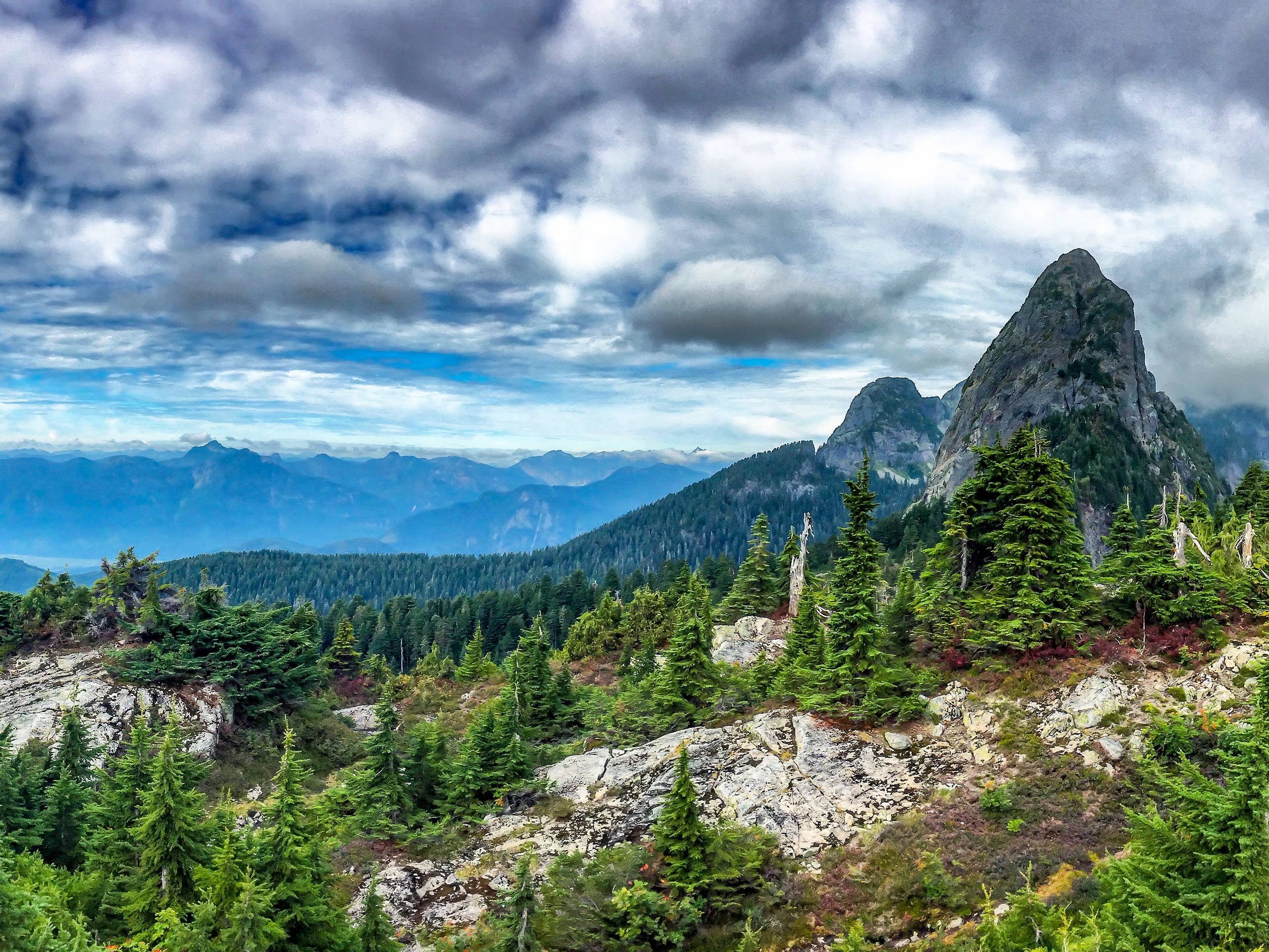
While the trail largely passes through dense tree cover, there are some exceptionally beautiful views that can be experienced from the peak of Alouette Mountain. From the summit, you will be able to see sweeping views of the Fraser Valley, nearby mountain peaks, and Alouette Lake far below. The trail is well marked and offers a nice mix of dirt pathways, wide logging routes, and technical stretches covered in roots and rocks. Overall, the Alouette Mountain Trail is a hike that is well worth the effort, especially when you factor in the lighter levels of foot traffic when compared to nearby Golden Ears.
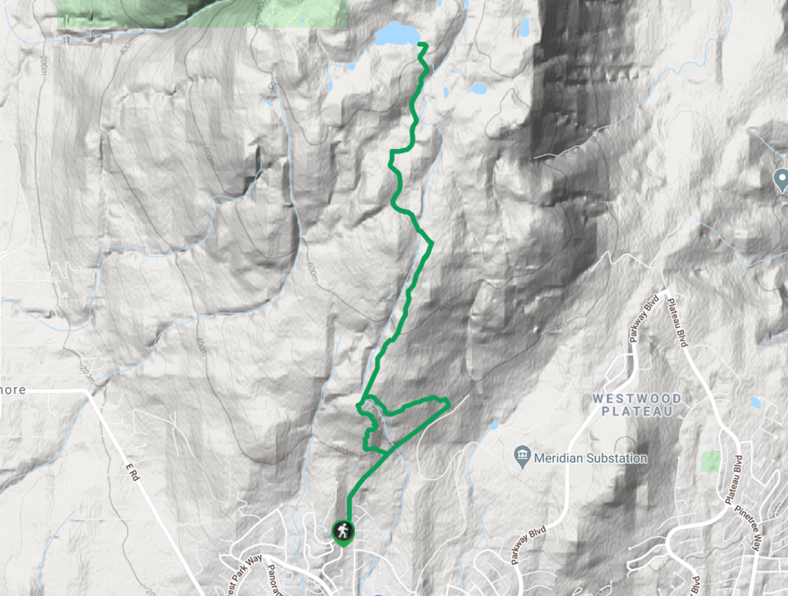
Setting out from the parking lot, follow the Eric Dunning Trail as it begins to wind through the forest and climb uphill. Keep straight through the junctions until you reach a four-way intersection. Take the trail to the right, again keeping straight to avoid going off on any side trails. Continue uphill until you come to the junction with the Alouette Mountain Trail on your right. Take this and cross over the creek, turning right once again when you reach a four-way intersection with the Fire Access Road. Continue your climb uphill to rejoin the Alouette Mountain Trail, following it for the remainder of the way up to the summit. After enjoying the amazingly scenic views from the summit of Alouette Mountain, continue back down the same trail to return to the parking area below.
Similar hikes to the Alouette Mountain Trail hike

Quarry Trail
The Quarry Trail is a scenic hike through the beautiful wetlands of Minnekhada Regional Park that takes hikers to several…

Lungbuster Trail to Cypress Lake
The Lungbuster Trail is a challenging 5.1mi out-and-back hiking route near Coquitlam, BC, that follows along an extremely…

Eagle Ridge Trail
The Eagle Ridge Trail is a fantastic hiking route that sets out from Buntzen Lake and heads into the backcountry…


Comments