Bisse du Sillonin Hike
View Photos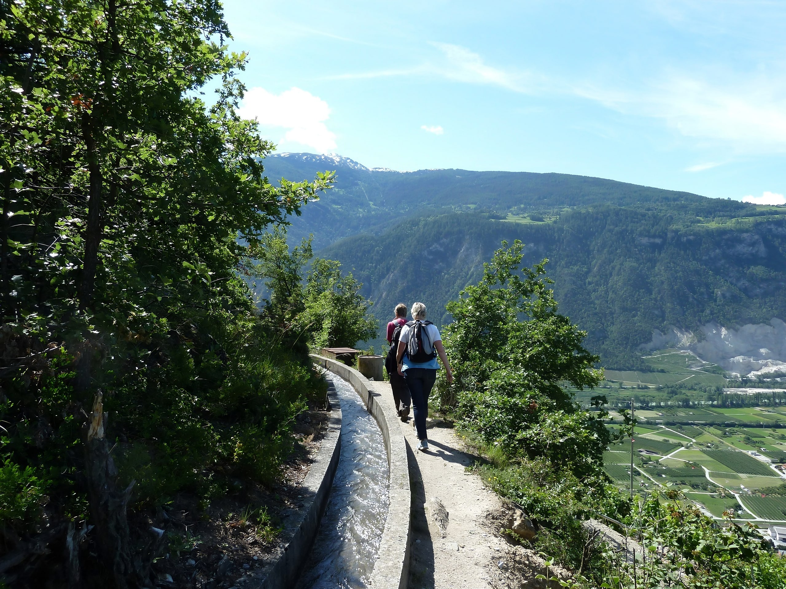
Bisse du Sillonin Hike
Difficulty Rating:
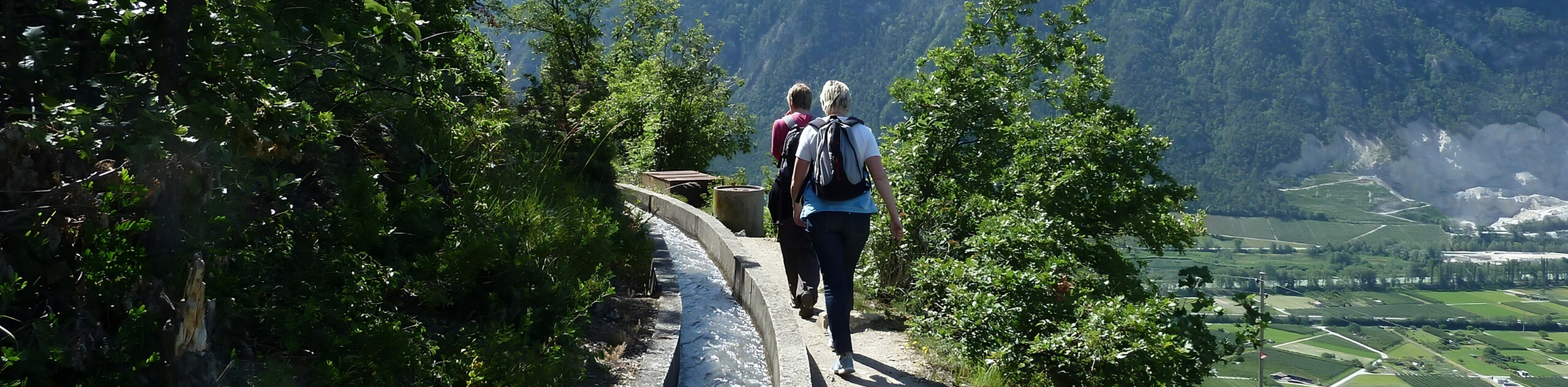
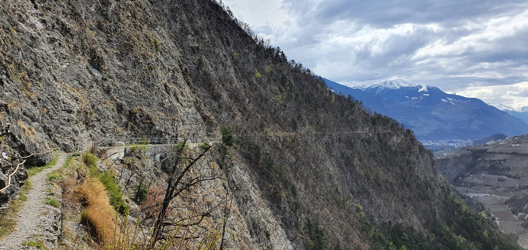
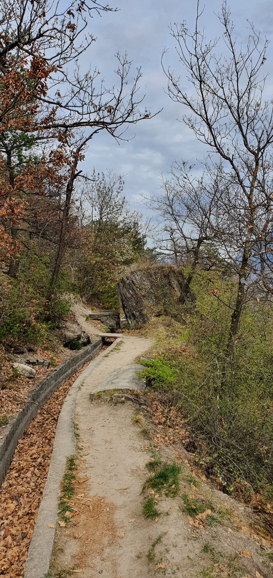
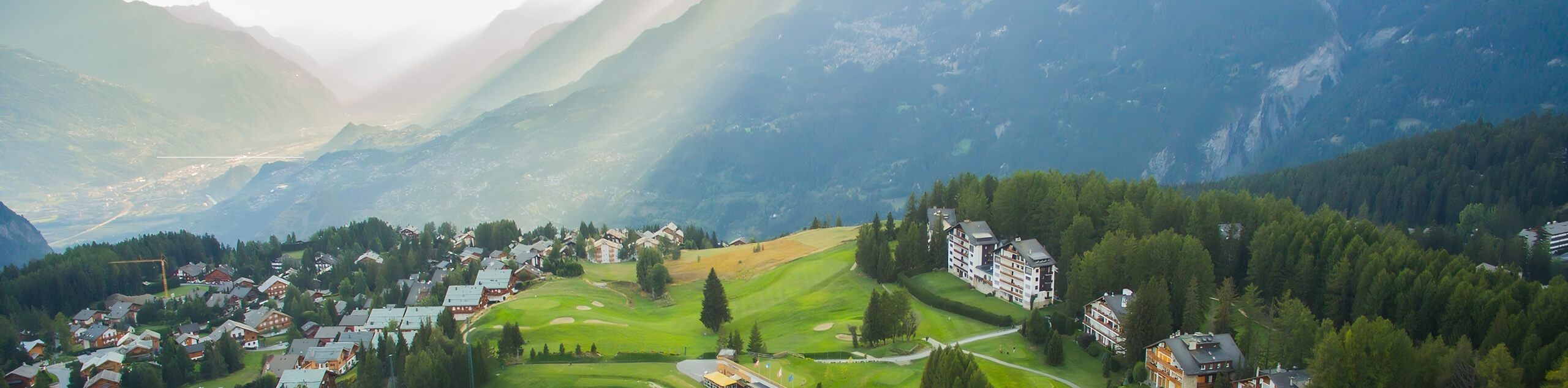
The Bisse du Sillonin Hike is a fun adventure in Crans Montana that follows along an 5.0mi long water source that dates back to the 14th century and runs across the steep slopes of the Véreillaz, watering meadows and vineyards from Planisses to Flanthey. This is a fantastic hike if you want to take in the incredible valley views.
Getting there
To get to Icogne by car, take the exit of the A9 motorway (Rhône motorway) called "Sion Est". Right after the motorway exit, at the roundabout, take the third exit and follow the signposts indicating Ayent/Savièse. At the second roundabout, take the second exit still following the signs for Ayent/Savièse, and the second exit at the third roundabout before the tunnel. At the roundabout after the tunnel, take the first exit on the right towards Champlan/Ayent.
You pass through the villages of Champlan/Grimisuat/Botyre (Ayent). In the village of Botyre/Ayent, follow the signs to Crans-Montana and follow the road for about 3.1mi to Icogne.

About
| When to do | Year-Round |
| Pets allowed | Yes - On Leash |
| Family friendly | Yes |
| Route Signage | Average |
| Crowd Levels | Moderate |
| Route Type | One Way |
Bisse du Sillonin Hike
Elevation Graph
Weather
Route Description for Bisse du Sillonin Hike
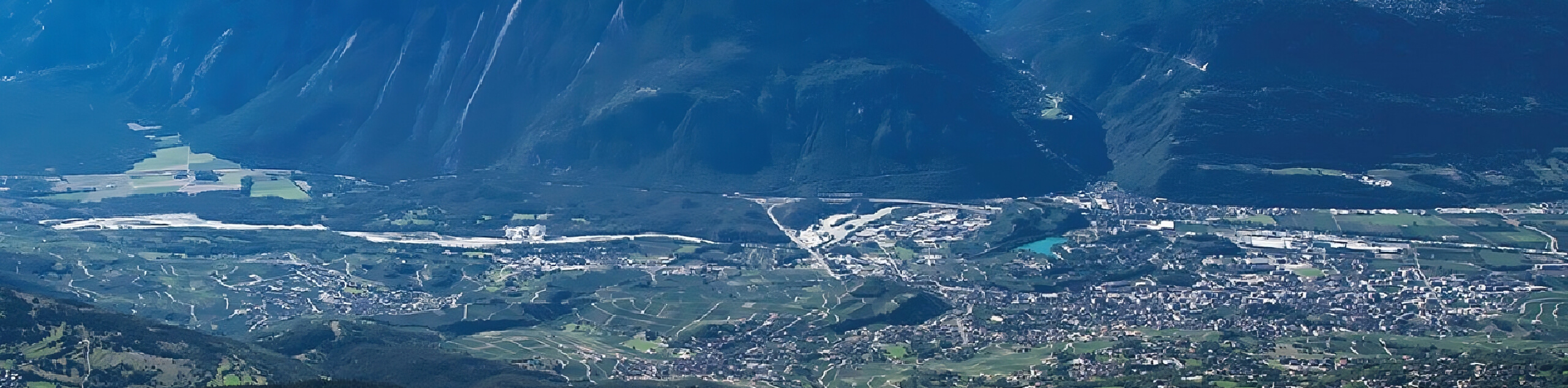
Setting out from its starting point in Icogne, the Bisse du Sillonin Hike follows a path that leads south through the valley and traverses the slopes of Châtelard Hill, which is crowned by the Christ-Roi statue. Eventually, the trail bends to the east and brings you to the endpoint of the hike in the village of Chelin.
Similar hikes to the Bisse du Sillonin Hike hike
The Centipede Path
In Crans-Montana, everything is just a step away, and the incredible views of the surrounding Alps can be taken in…
Crans Montana 100th Anniversary Walk
The Crans Montana 100th Anniversary Walk was signposted to commemorate the history of the Crans Montana tourist resort in 1993.…
Land of Faith Hike
The Land of Faith Hike is a charming adventure in Crans Montana that will allow you to visit several religious…
Comments