Alpine Pastures of Dedans Hike
View Photos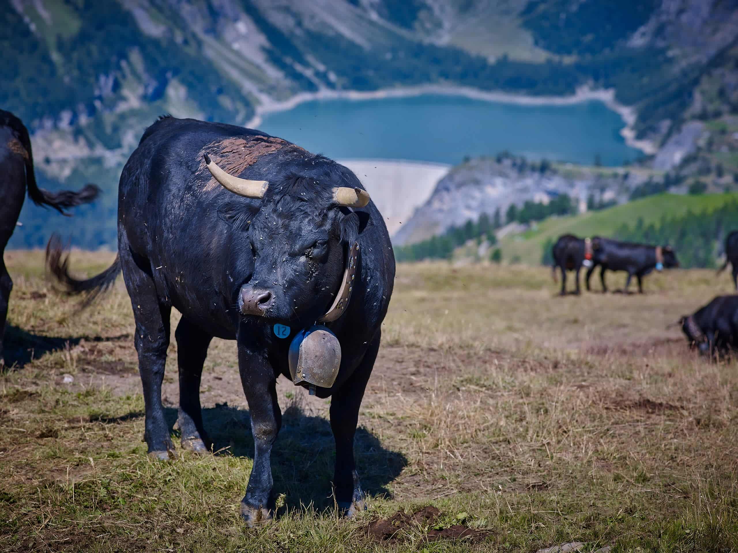
Alpine Pastures of Dedans Hike
Difficulty Rating:
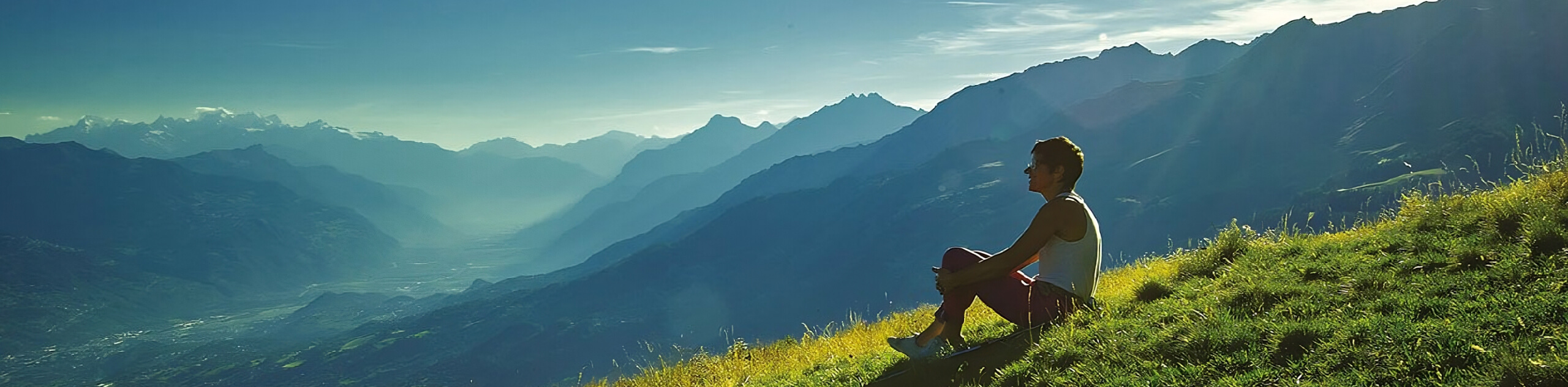
The Alpine Pastures of Dedans Hike is a beautifully scenic adventure in Crans Montana that will take you up into the mountains for wonderful views. There are some steep climbs and rugged terrain on this hike, so be prepared for a workout!
Getting there
On the A9 motorway, take the exit "Sion, Est" and follow the signs for Ayent. When you reach Botyre, you need to follow the signs for Barrage du Rawil. The journey takes about 30 minutes from the motorway exit to your final destination.

About
| When to do | July-October |
| Pets allowed | No |
| Family friendly | No |
| Route Signage | Average |
| Crowd Levels | Moderate |
| Route Type | One Way |
Alpine Pastures of Dedans Hike
Elevation Graph
Weather
Route Description for Alpine Pastures of Dedans Hike
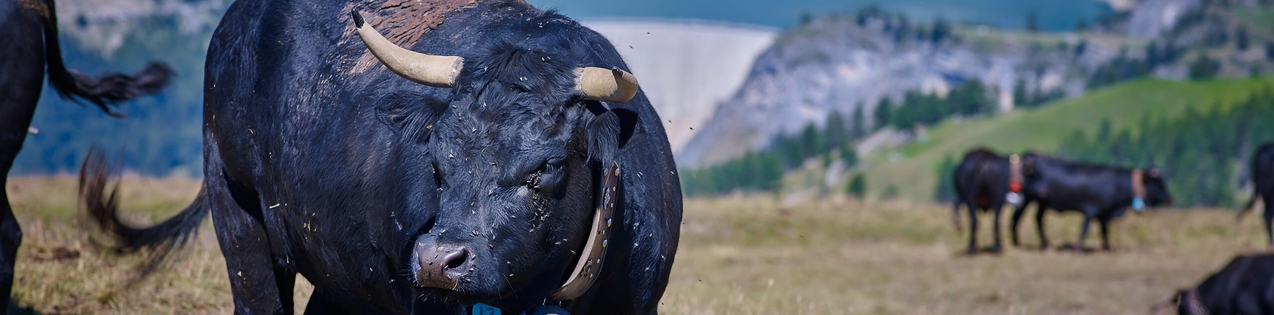
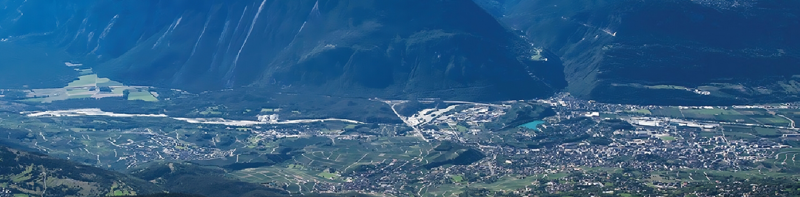
Setting out from the trailhead, you will begin walking along the concrete embankment of the lake and then climb along the path that crosses the Vatseret alpine pasture, before continuing towards the mountain pasture of Mondralèche. This pasture is on less steep terrain and its location above the forest line offers a magnificent panorama of the Plaine du Rhône as well as the Alps.
At the corner of the path, you will see the old cellar next to which a source feeds the basin. You will continue to the high point of this path, before descending to cross the mountain pasture of Er de Chermignon and arrive at Er de Lens.
You continue the descent until you cross a stream, at which point you will begin the climb up to Belallui. To do so, you will first need to climb towards the Col de Pochet, crossing an alpine meadow that has inherited many sparse stones here and there, brought by the erosion of the mountain. You will then climb to the upper level of the valley, traversing an alpine meadow before attacking the col de Pochet, which is steep but not very long. From here, the trout will take you south until you arrive at Cry d’Er.
Similar hikes to the Alpine Pastures of Dedans Hike hike
Crans Montana 100th Anniversary Walk
The Crans Montana 100th Anniversary Walk was signposted to commemorate the history of the Crans Montana tourist resort in 1993.…
Land of Faith Hike
The Land of Faith Hike is a charming adventure in Crans Montana that will allow you to visit several religious…
Panorama 4000 Hike
The Panorama 4000 Hike is a stunning adventure in Crans Montana with gorgeous views across the Valais landscape. This hike…
Comments