
Stonesfield Stroll
View Photos
Stonesfield Stroll
Difficulty Rating:
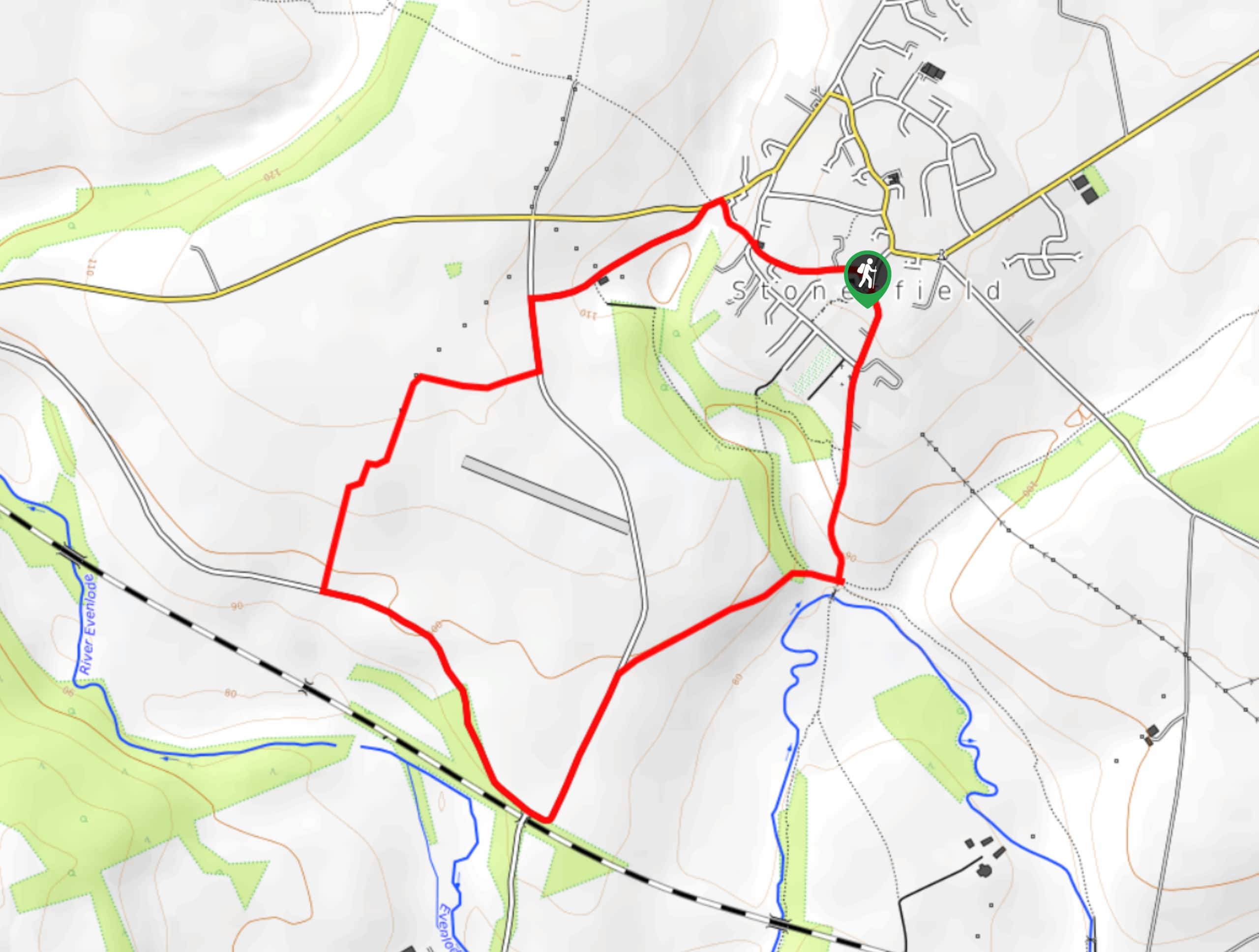
The Stonesfield Stroll is a fantastic outdoor experience that will take you through the Oxfordshire countryside for some beautiful views of the surrounding Cotswolds terrain. The trail sets out from the charming village of Stonesfield next to the Church of Saint James the Great and passes by two Sites of Special Scientific Interest (SSSI) as you work your way through the picturesque terrain that can be found in the region. The walk largely follows along field pathways and country roads, with only one notable steep section near the start/end point of the route.
Getting there
To reach the trailhead for the Stonesfield Stroll from The White Horse Inn in Stonesfield, drive southwest on The Ridings for 0.2mi and turn left onto Boot Street. After 0.1mi, make a slight left onto High Street and follow it for 0.2mi to find the car park on the right.

About
| When to do | March-October |
| Backcountry Campsites | No |
| Pets allowed | Yes - On Leash |
| Family friendly | Yes |
| Route Signage | Average |
| Crowd Levels | Moderate |
| Route Type | Circuit |
Stonesfield Stroll
Elevation Graph
Weather
Stonesfield Stroll Description
Although the Stonesfield Stroll passes through some truly beautiful locales, it also utilizes country roadways at several points throughout the walk. Make sure to exercise caution in these areas to ensure your safety on the walk. Additionally, there is a fairly steep section of trail that will need to be navigated at the beginning and end of the journey. Wear proper walking footwear to secure the best footing along the trail. As always, keep your dog on a lead in areas where livestock may be present.
Setting out from the Church of Saint James the Great, the trail will take you to the south, leaving the village of Stonesfield and its iconic bell tower behind as you descend the steep hillside towards the River Evenlode. Just before the bridge, bear right and continue to the southwest to meet up with a road, turning left to follow it towards Oakland Farm. Turning to the northeast, you will cut through the picturesque farmland and eventually meet back up with the road, following it to the left and then turning right at the first cross street to slightly descend the forested hillside. Reaching a stile and gate, make your way across and climb back up the hillside to return to the village where you began your adventure.
Consider a Walking Holiday in the Cotswolds
One of the best ways to experience this stunning Area of Outstanding Natural Beauty is by booking a pre-planned adventure tour in the Cotswolds. Find the famous self-guided Cotswolds Way and other amazing guided and self-guided tours on 10Adventures Tours.
Similar hikes to the Stonesfield Stroll hike

Stanton, Snowshill, and Stanway Circular Walk
The Stanton, Snowshill, and Stanway Circular Walk is a fantastic adventure for those who enjoy leisurely strolls through the country,…
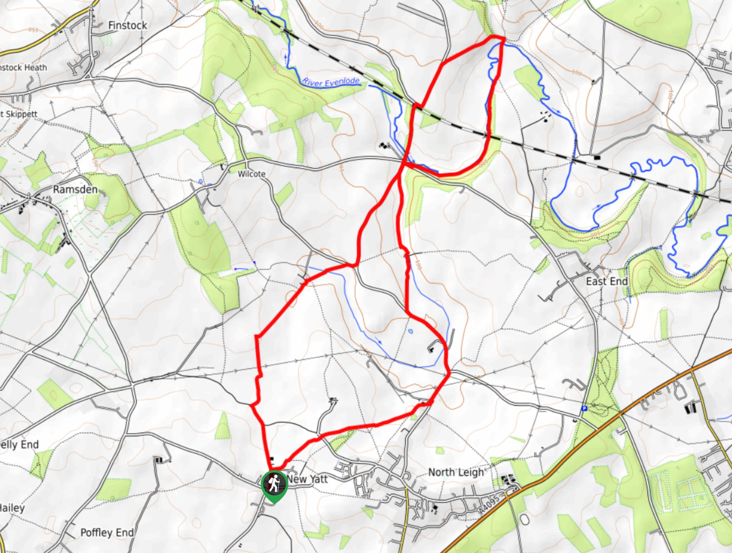
New Yatt Circular Walk
The New Yatt Circular Walk is an amazing, family-friendly adventure that will allow you to experience the beautiful landscapes that…
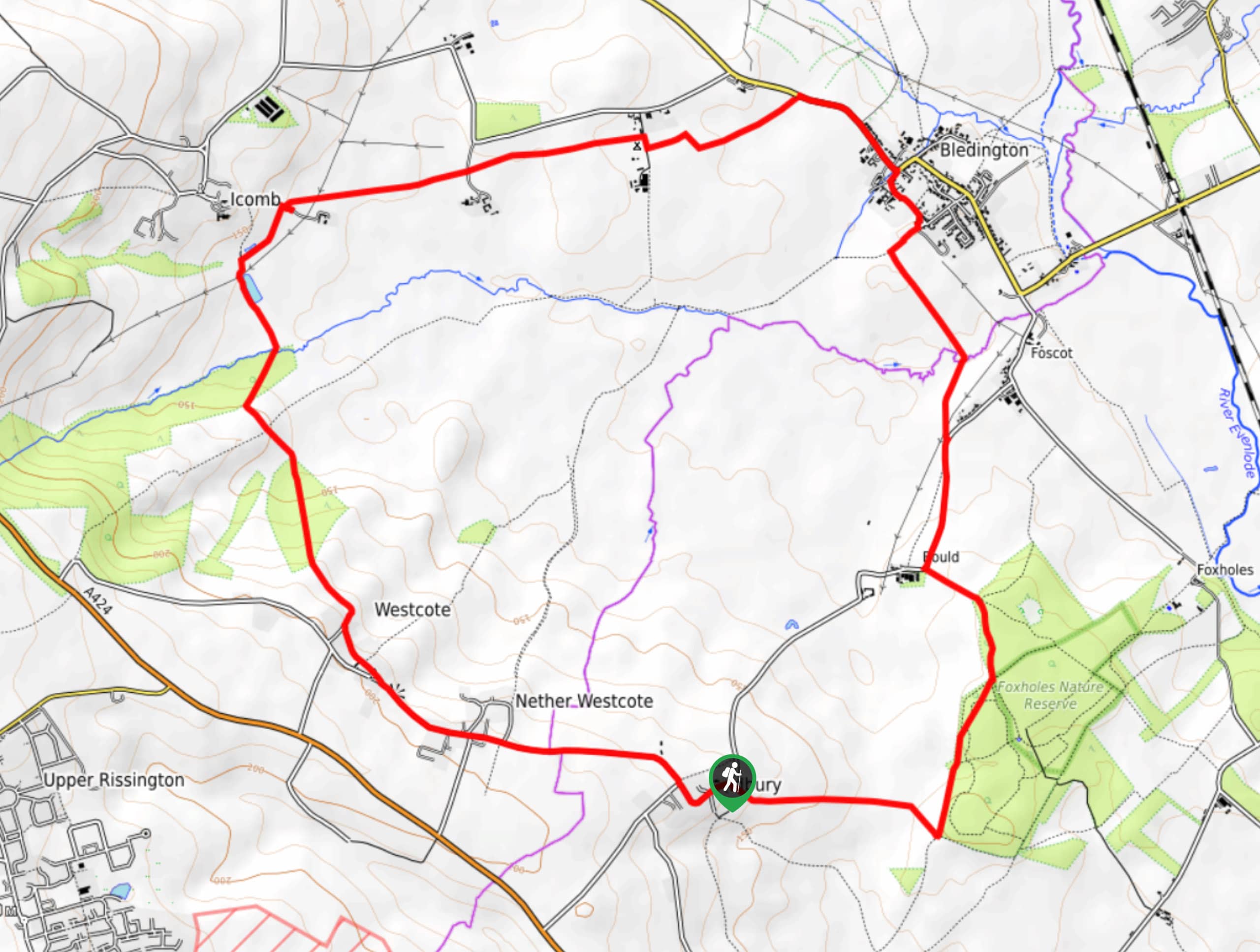
Idbury Circular Walk
Walking the Idbury Circular is a lovely adventure that will not only take you through the beautiful terrain of The…
Comments