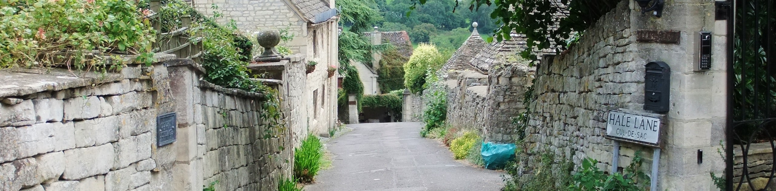
Painswick to Slad Loop
View Photos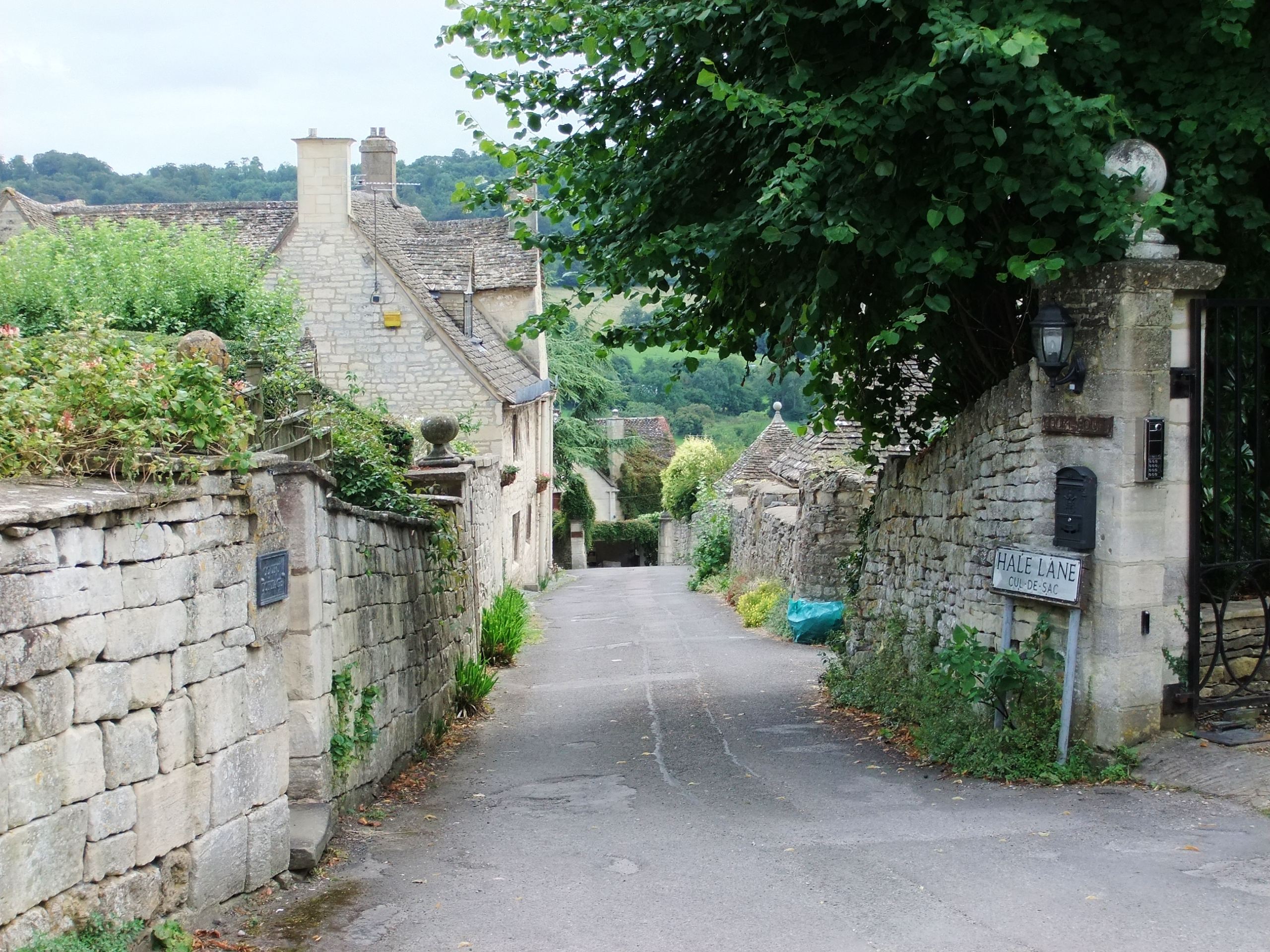
Painswick to Slad Loop
Difficulty Rating:
Explore the beautiful South Cotswolds on the Painswick to Slad Loop. This lovely walk shows off some of the most beautiful walking country and the charming historic villages of Painswick and Slad. You’ll enjoy the bucolic views from the tops of rolling hills, and the tranquility of walking along the fields and streams of the English countryside.
Getting there
To get to Painswick take the A46, this road changes into Stroud Road or New Street depending on the direction you are coming from. To get to the start of the Painswick to Slad Loop, you’ll park your car at the Stamages Lane Car Park, which is at the junction of Stamage’s Lane where Stroud Road becomes New Street. This is a paid, outdoor car park. The path starts from Stamage’s Lane in the direction away from the village.

About
| When to do | Year-round |
| Pets allowed | Yes - On Leash |
| Family friendly | Yes |
| Route Signage | Poor |
| Crowd Levels | Low |
| Route Type | Circuit |
Painswick to Slad Loop
Elevation Graph
Weather
Painswick to Slad Loop Description
The Painswick to Slad Loop starts from the car park that is easily accessible from the main village road. There are quite a few stiles and streams that you have to cross, so this walk is not stroller-friendly. There are also a few steep sections that may be difficult for small children. Make sure you have good waterproof boots as the paths can get muddy, and you have to cross some small streams. Some of the footpaths can get overgrown and be difficult to spot. Otherwise, this is a lovely loop through the pastoral countryside.
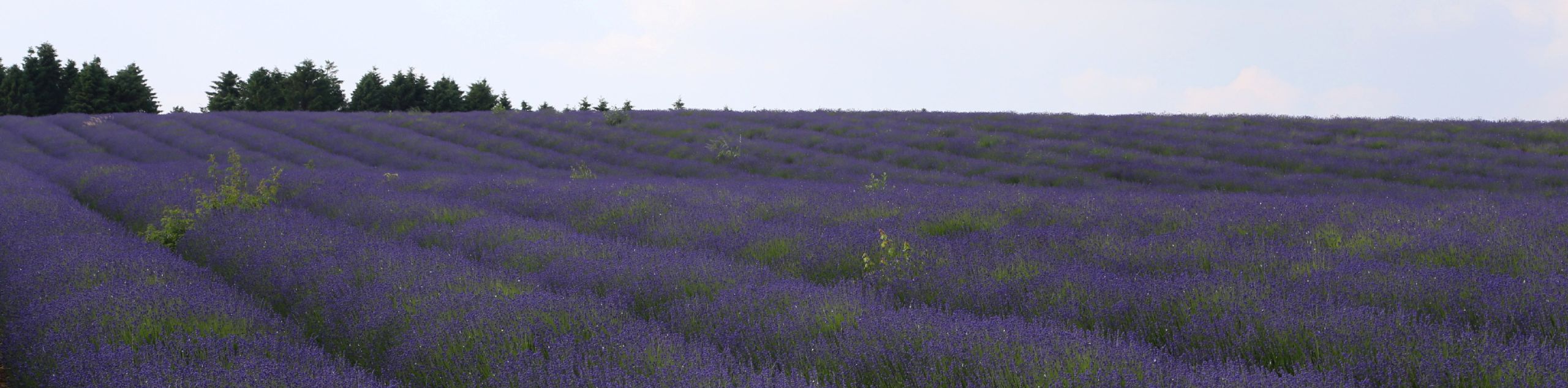
The walk from Painswick to Slad is a beautiful circular route through the quiet fields and meadows of the Cotswolds AONB. You’ll enjoy the charming villages, and quintessential farms you’ll pass as you wander through the countryside. You may even come across some grazing sheep, or cows as you enjoy this lovely country walk.
To get started on the Painswick Loop, follow Stamage’s Lane as it changes into Stepping Stone Lane, at the end of the road turn right and follow the path along the stream. Keep the stream on your right as you climb over two stiles and a sluice gate. After the gate turn left down the gravel path and follow it until it meets the road, and turn right.
Keep walking along the road, you’ll pass through a gate and continue through a field to reach a small footbridge in a valley. Cross the bridge and climb the hill on your right, then go over the stile. Walk through the field to another stile and take the path between the cottages.
There’s a small stream you’ll have to cross to reach the field, continue walking along the left side of the field. Cross another small stream, and turn right after you pass through the kissing gate. Continue walking along the left side of the field. At the end of the field, there is another kissing gate to go through to reach the road. Take the road left, and then turn into the field on your right.
Go through the kissing gate and walk along the edges on the right—you’ll be walking towards the farm up ahead. Climb the stile and walk along the path, past the farm and turn left onto the tarmac road. Keep walking when the paved section ends, and go straight through the crossroads and up the hill.
Go through the five-bar gate and cross on the left-hand side of the field to get to the road. Turn left on the road and follow it until you see a house on your left. Before you reach the house you’ll turn right, onto a public path, which will take you to the forest.
Climb the stile to get to the field, and then climb the second stile on the other end of the field that is on the right of the five-bar gate. The path down to the road is paved, but it is steep, turn right on to the road at the bottom.
Turn left on Slad Lane, and up the hill to where the road splits. Take the second right and walk onto Knapp Lane. Your path splits again, this time keep left. This section of the path can be flooded or muddy. Turn left onto the road and walk to the junction, go straight across to a small footpath that may be hard to see.
When you reach the war memorial take the road opposite it and walk towards the house. At the top of the hill, the path levels out, look for a hidden path on the left. Follow the path and take the next left, and then right to follow the trail down the hill. Continue straight and go through the gate so you can follow the path. The track continues forward, keep walking straight across the road. At the end of the path, you’ll have to climb the stile and carry on. Climb another stile on the left of the gate and follow the hedge on your left.
When you reach the T-junction, you’ll need to cross the road to join the footpath on the other side. Walk down the road and through the churchyard on your left. When you reach the road, you’ll turn left and walk to the car park.
Consider a Walking Holiday in the Cotswolds
One of the best ways to experience this stunning Area of Outstanding Natural Beauty is by booking a pre-planned adventure tour in the Cotswolds. Find the famous self-guided Cotswolds Way and other amazing guided and self-guided tours on 10Adventures Tours.
Insider Hints
Allow yourself extra time to wander the beautiful and historic town of Painswick
Make sure you wear waterproof boots, even if it’s dry outside!
Similar hikes to the Painswick to Slad Loop hike
Stanton, Snowshill, and Stanway Circular Walk
The Stanton, Snowshill, and Stanway Circular Walk is a fantastic adventure for those who enjoy leisurely strolls through the country,…
New Yatt Circular Walk
The New Yatt Circular Walk is an amazing, family-friendly adventure that will allow you to experience the beautiful landscapes that…
Idbury Circular Walk
Walking the Idbury Circular is a lovely adventure that will not only take you through the beautiful terrain of The…
Comments