Carn Brea and Great Flat Lode Walk
View Photos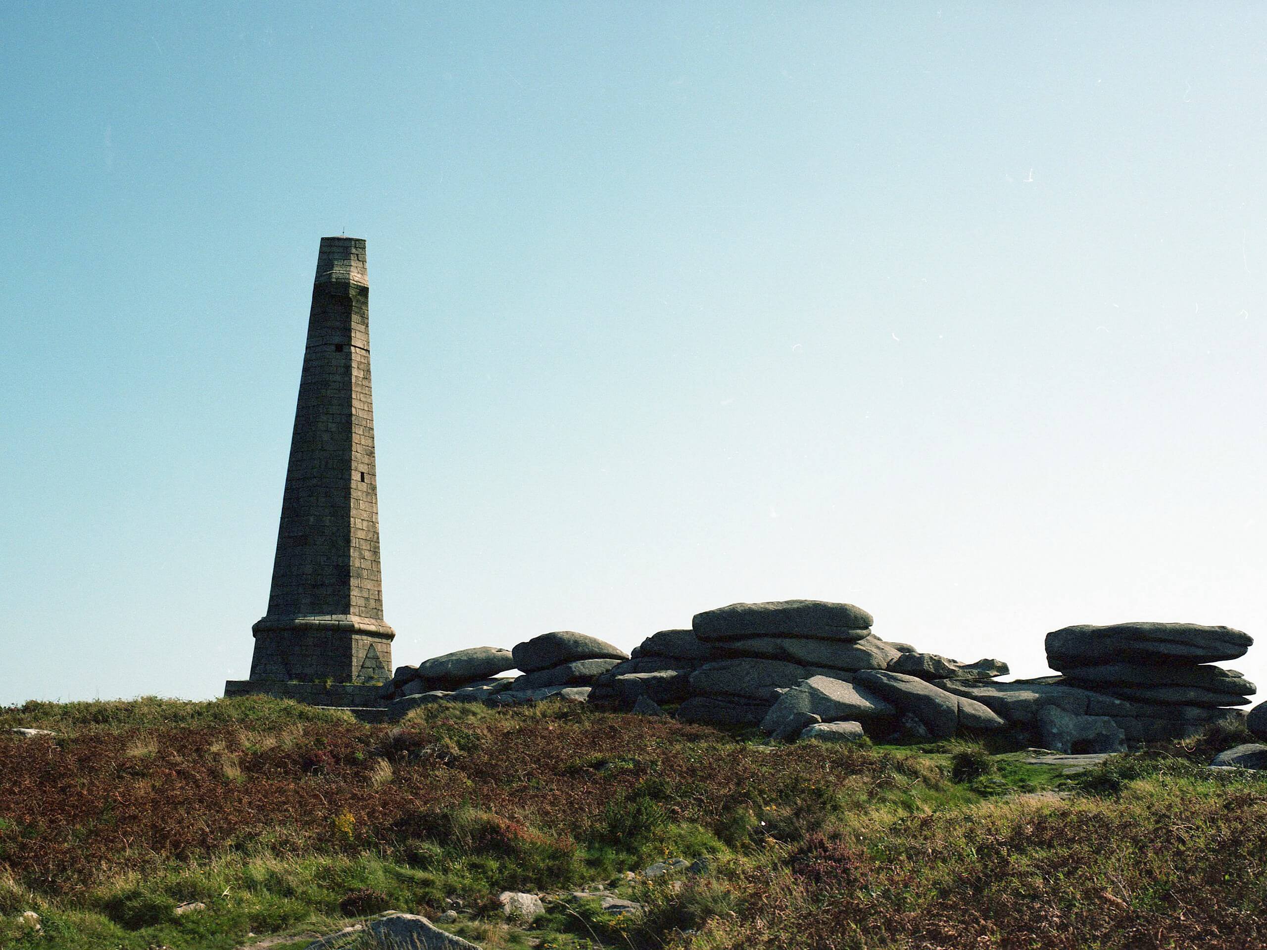
Carn Brea and Great Flat Lode Walk
Difficulty Rating:
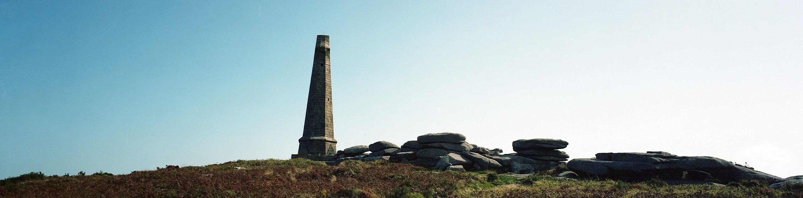
The Carn Brea and Great Flat Lode Walk is a great outdoor excursion just east of Camborne that will take you uphill for views of the surrounding area. While out on the walk, you will climb uphill along Carn Brea and view the 14th Century castle, before descending into the Red River Valley on a loop through the Cornish countryside. This is a fantastic adventure for those with an interest in history or for anyone looking to experience some scenic views.
Getting there
The trailhead for the Carn Brea and Great Flat Lode Walk can be found at the South Wheal Frances car park, just off Filtrick Lane.

About
| Backcountry Campground | No |
| When to do | Year-Round |
| Pets allowed | Yes - On Leash |
| Family friendly | Older Children only |
| Route Signage | Average |
| Crowd Levels | Moderate |
| Route Type | Circuit |
Carn Brea and Great Flat Lode Walk
Elevation Graph
Weather
Carn Brea and Great Flat Lode Walk Description
Whether you are interested in walking the Carn Brea and Flat Lode Trail for the fascinating historical sites along the route or are simply looking to reach the top of Carn brea to take in the beautiful views of the surrounding area, this fantastic route will be sure to not disappoint.
Setting out from the car park, you will head to the northeast in order to reach Wheal Basset, before turning to the north and climbing up the slopes of Carn Brea. Here, you will be able to take in the history of the 14th Century Carn Brea Castle, in addition to experiencing some breathtaking views overlooking the surrounding countryside and nearby town of Camborne.
After taking in the views, you will make your way downhill to the west and descend into the Red River Valley, crossing over the banks of the river to begin a loop around High Condurrow, where you will pass by the Camborne School of Mines. From here, the trail will turn back to the northeast in order to traverse the open fields and scattered woodlands that make up the landscape on the way back tot he car park where you began.
Similar hikes to the Carn Brea and Great Flat Lode Walk hike
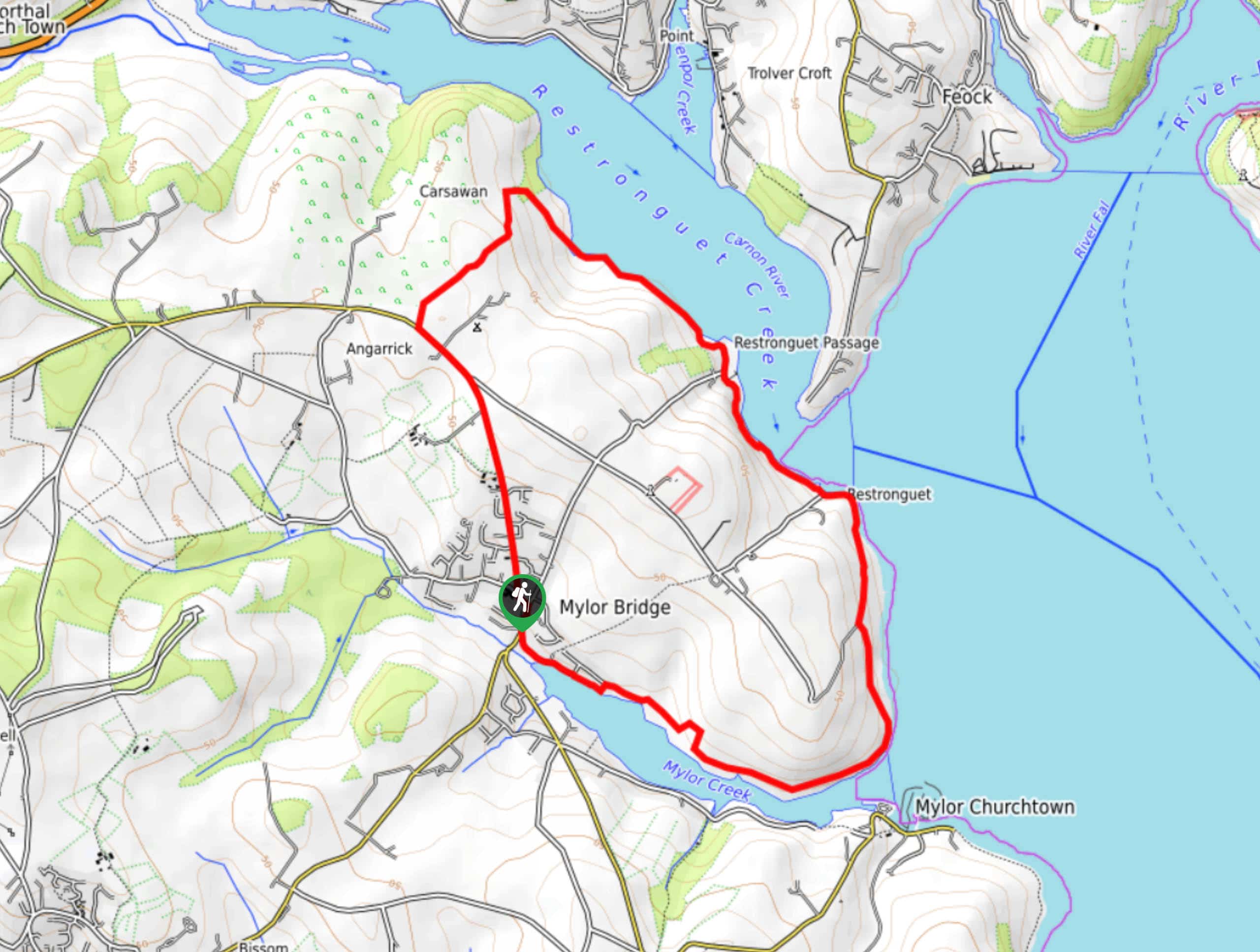
Restronguet Passage Circular Walk
The Restronguet Passage Circular Walk is a fantastic outdoor excursion in Cornwall that offers beautifully scenic views overlooking a number…
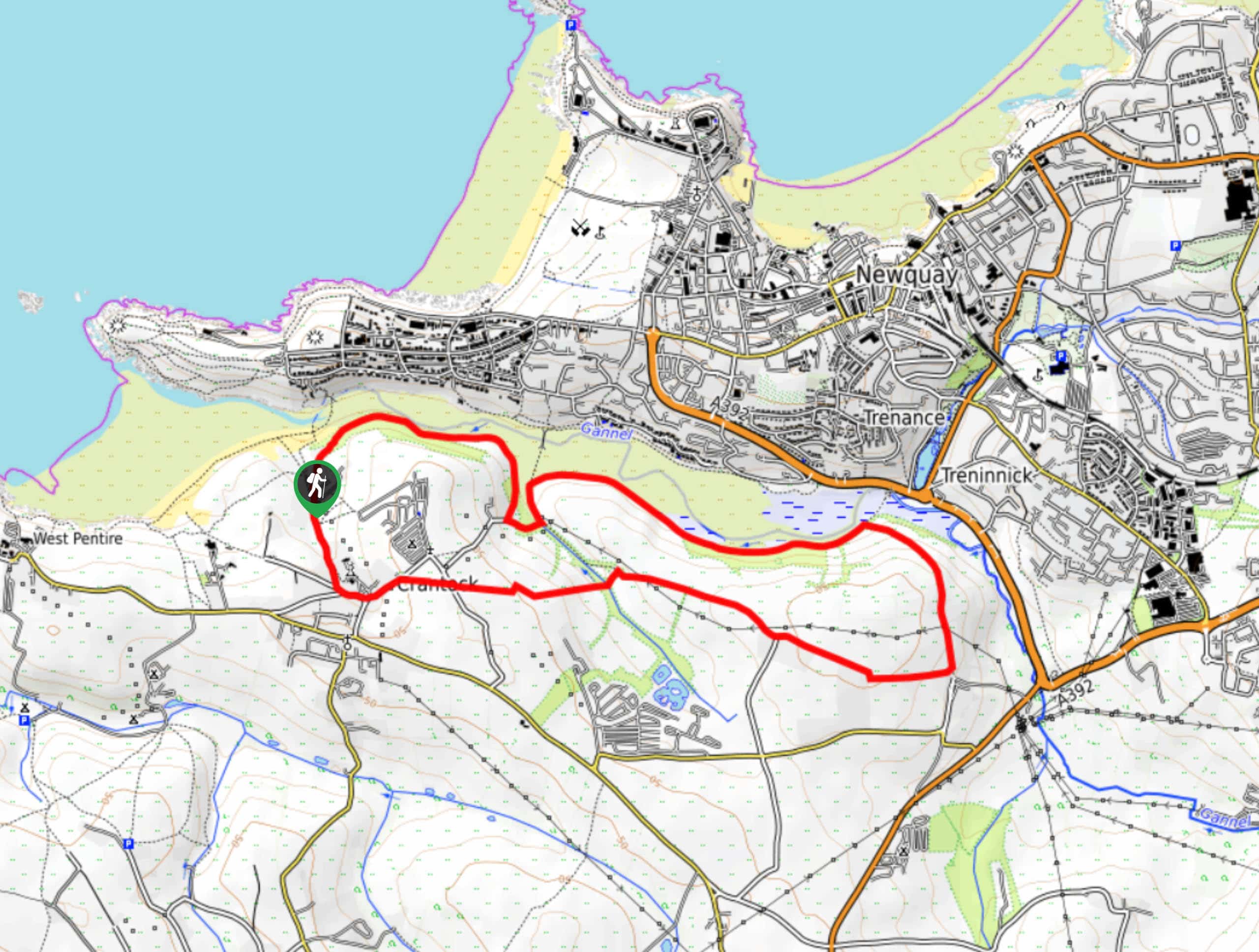
Crantock and The Gannel Circular Walk
The Crantock and The Gannel Circular Walk is a beautifully scenic adventure near Newquay, Cornwall that will lead you through…
Egloshayle Circular Walk
The Egloshayle Circular Walk is a great outdoor excursion set in the Cornish countryside that will expose you to a…
Comments