Red Rock Rim and Greenlee Loop
View Photos
Red Rock Rim and Greenlee Loop
Difficulty Rating:
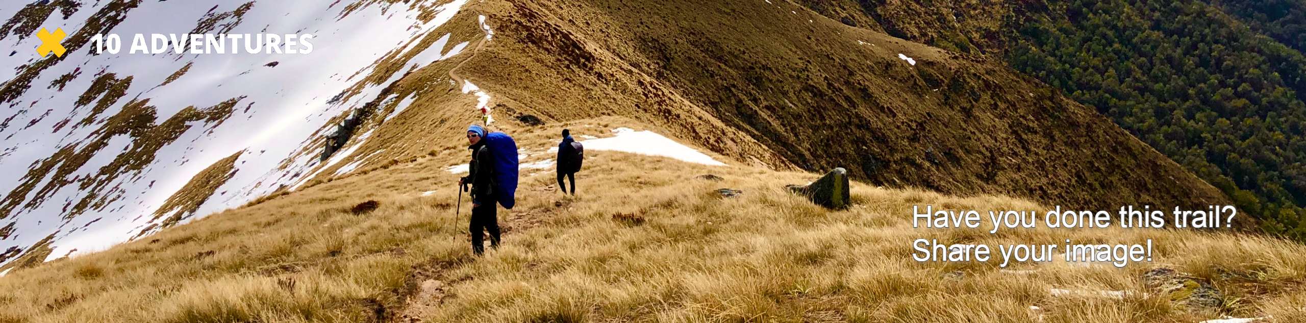
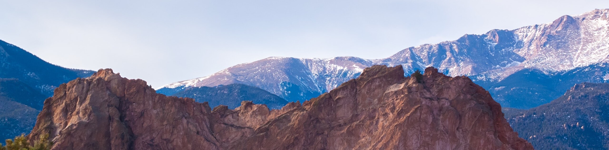
Explore the Red Rock Canyon Open Space as you venture the Red Rock Rim and Greenlee Loop. The circuit hike through the park reveals the grandeur and uniqueness of the red rock bluffs and canyons that decorate the landscape. This family-friendly adventure is a must-add to your Colorado hiking itinerary.
Getting there
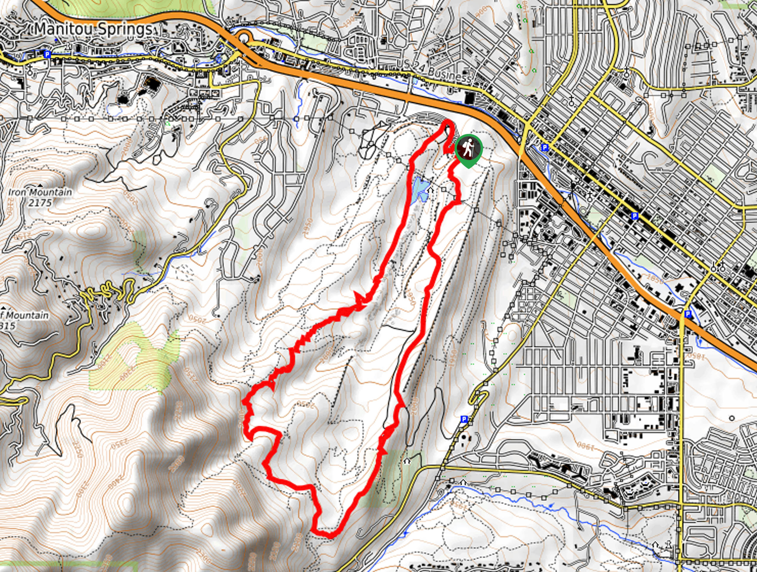
The Red Rock Rim and Greenlee Loop departs from the Red Rock Canyon Trailhead off West High Street.

About
| Backcountry Campground | No |
| When to do | Year-round |
| Pets allowed | Yes - On Leash |
| Family friendly | Yes |
| Route Signage | Average |
| Crowd Levels | High |
| Route Type | Circuit |
Red Rock Rim and Greenlee Loop
Elevation Graph
Weather
Red Rock Rim and Greenlee Loop Description
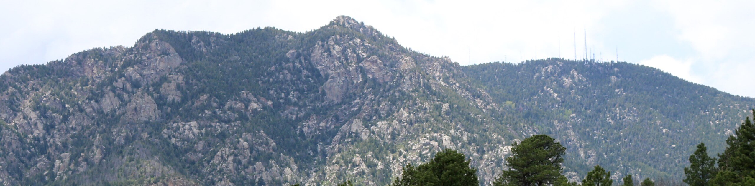
The Red Rock Rim and Greenlee Loop reveals the unparalleled beauty and uniqueness of the Red Rock Canyon Open Space. Not only does this trek reveal the sights of unique and picturesque sandstone bluffs, but you will also be granted sights of the Front Range foothills that line the horizon. When hiking in the summer months, be mindful of snakes sunbathing on the heat-radiating rocks! Additionally, the rocky terrain is slippery after rainfall, so mind your footing.
Embark on your adventure along the Red Rock Rim and Greenlee Loop from the trailhead off West High Street. From here, hikers can choose the direction by which to complete the loop, but we prefer to venture counterclockwise. From the trailhead, track the Old Quarry Trail southeast. At the end of the route, merge onto the Red Rock Rim Trail south. This path will guide you along the base of red-hued cliffs before hooking onto the Landfill Road, passing the gravel pit. At the next intersection, merge onto the Ridgeline Trail.
Follow the Ridgeline Trail to the intersection with Section 16 Trail. Keep right and wander the Section 16 Trail before connecting with the Intemann Trail. Soon you will want to take the Section 16 Connector Trail north before tracking the Greenlee Trail through the hogbacks, all the way back to the trailhead.
Similar hikes to the Red Rock Rim and Greenlee Loop hike
Zook Loop
The Zook Loop is an awesome family-friendly nature walk that exhibits breathtaking panoramas of Cheyenne Mountain looming above. Explore the…
Wildflower Path and Upper Meadows Loop
The Wildflower Path and Upper Meadows Loop is a lovely nature walk through the Stratton Open Space. Immerse yourself in…
Ute and Niobrara Loop Trail
The Ute and Niobrara Loop Trail is an awesome adventure in the Garden of the Gods. Traveling along the outskirts…
Comments