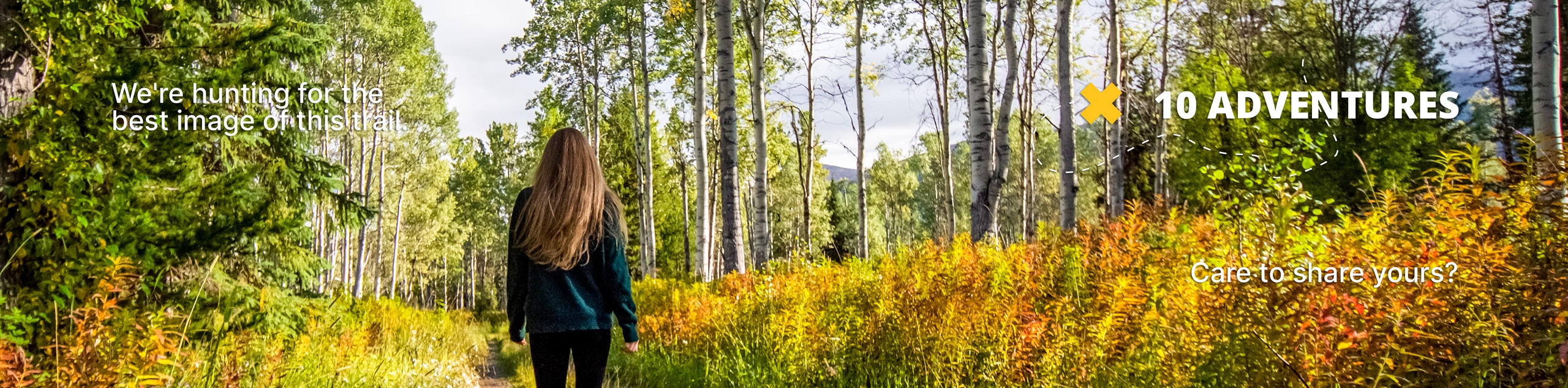
MacNeil Trail
View Photos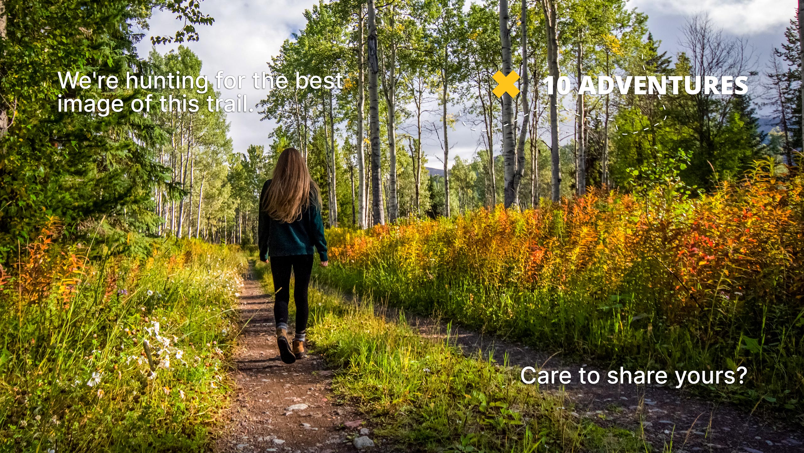
MacNeil Trail
Difficulty Rating:
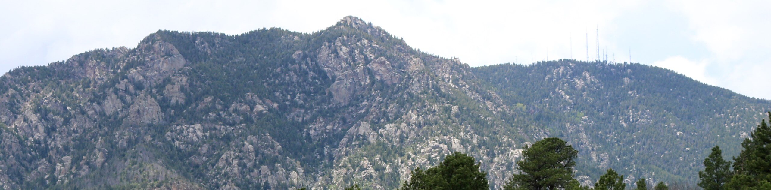
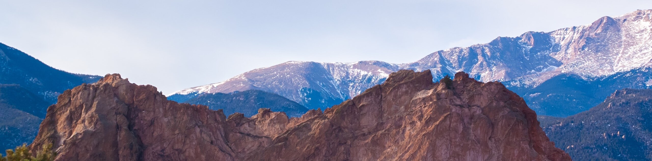
The MacNeil Hike is an epic adventure that wanders along the western slope of Cheyenne Mountain. Boasting breathtaking scenery and jaw-dropping views of the rolling foothills, this excursion packs a punch! The next time you find yourself in the Colorado Springs area, this trek is a must!
Getting there
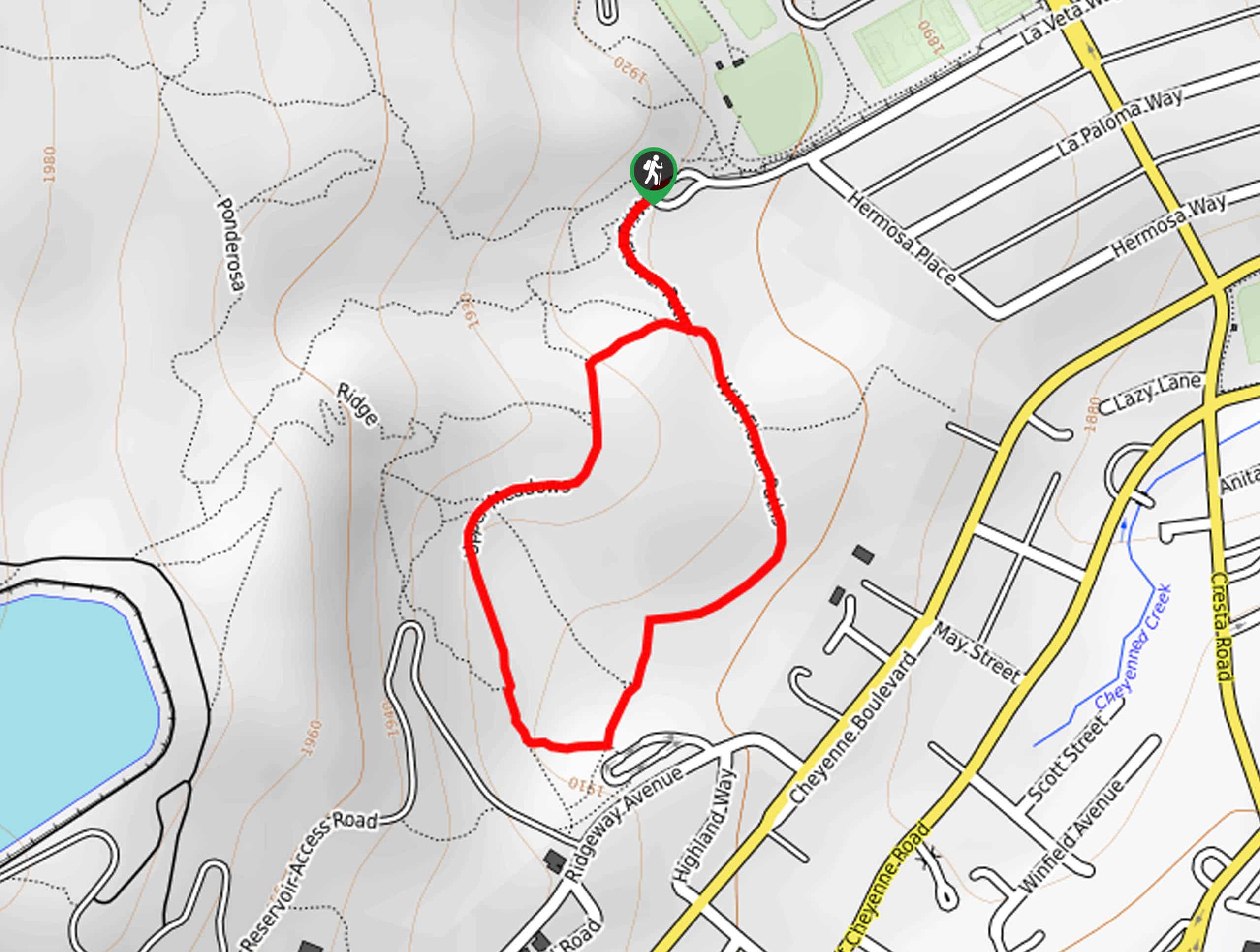
The MacNeil Trail is accessed via the trailhead off Old Stage Road.

About
| Backcountry Campground | No |
| When to do | Year-round |
| Pets allowed | Yes - On Leash |
| Family friendly | Yes |
| Route Signage | Average |
| Crowd Levels | Moderate |
| Route Type | Out and back |
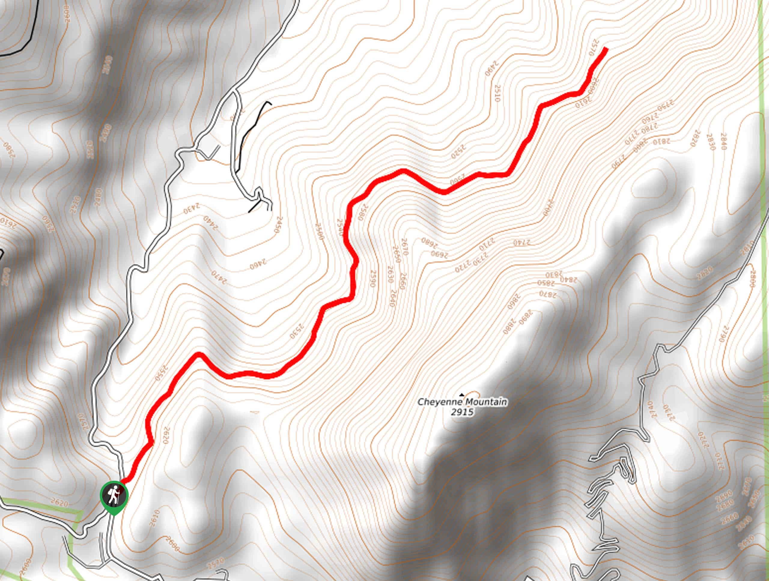
MacNeil Trail
Elevation Graph
Weather
MacNeil Trail Description
Immerse yourself in the Colorado wilderness along the MacNeil Trail. Featuring wildflowers, mixed pine forests and panoramic vistas, this route is one of a kind. More primitive than most trails in the area, the rugged nature of the route is all part of the fun—just make sure to wear some sturdy footwear. Additionally, as you wander through the wilderness, a wildlife encounter is a possibility, so consider wearing a bear bell! Furthermore, though not necessary, the trail GPS may prove useful!
Embark on your adventure along the MacNeil Trail from the trailhead off Old Stage Road. From here, the MacNeil Hike treks northeast beneath the timberline. As you wander the undulating path it will weave between exposed sections and dense pine forests. You will be rewarded with dumbfounding vistas of the mountainous landscape from the tree breaks. Revel in the sights of the craggy peaks and continue heading northeast along the dirt path.
As you meander, be sure to keep an eye out for wildlife—including birds soaring above! When you reach the trail’s end, simply turn around and retrace your footing along the path back to the trailhead, marking the end of your adventure.
Similar hikes to the MacNeil Trail hike
Zook Loop
The Zook Loop is an awesome family-friendly nature walk that exhibits breathtaking panoramas of Cheyenne Mountain looming above. Explore the…
Wildflower Path and Upper Meadows Loop
The Wildflower Path and Upper Meadows Loop is a lovely nature walk through the Stratton Open Space. Immerse yourself in…
Ute and Niobrara Loop Trail
The Ute and Niobrara Loop Trail is an awesome adventure in the Garden of the Gods. Traveling along the outskirts…
Comments