Chaparral Trail
View Photos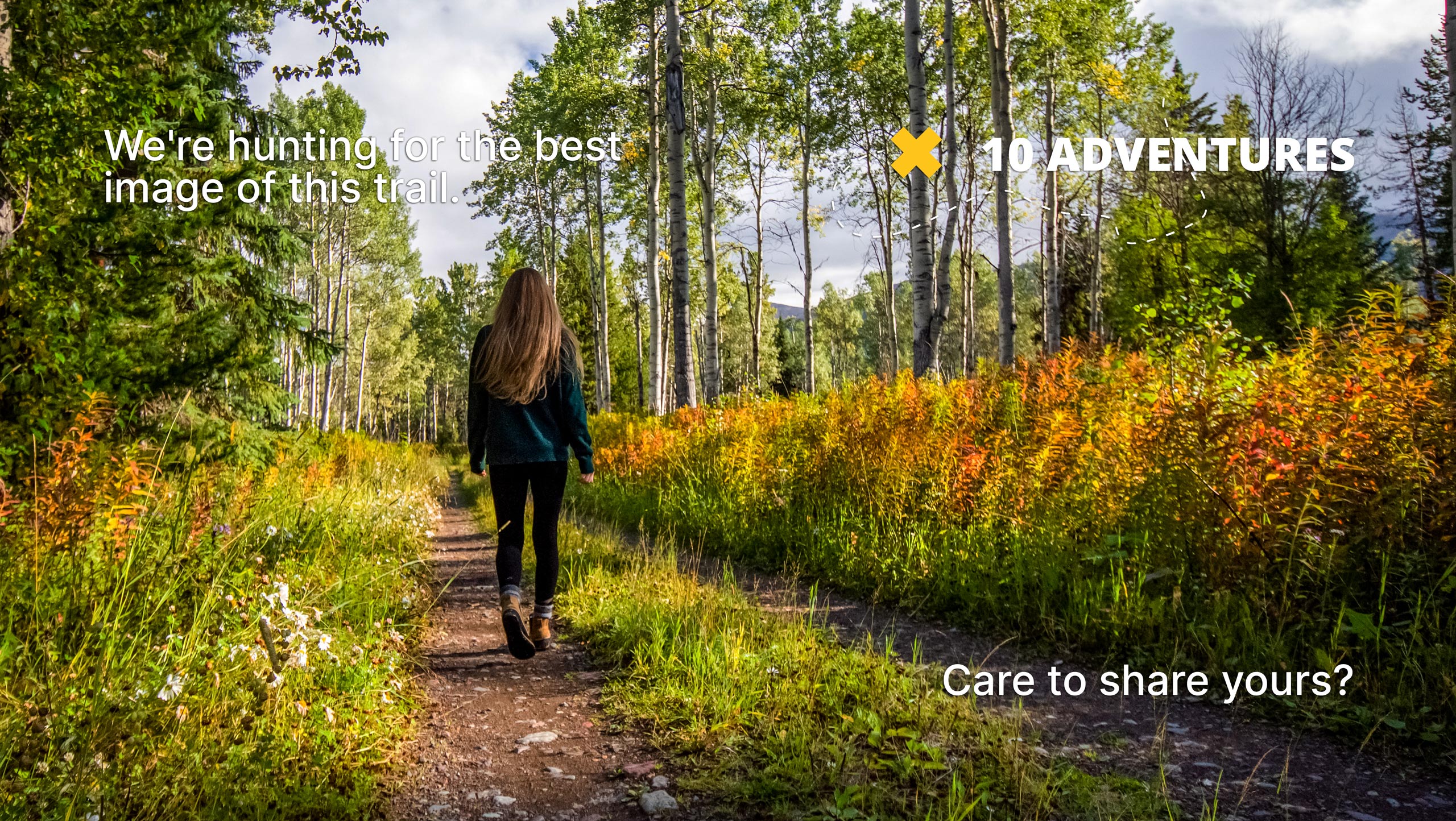
Chaparral Trail
Difficulty Rating:
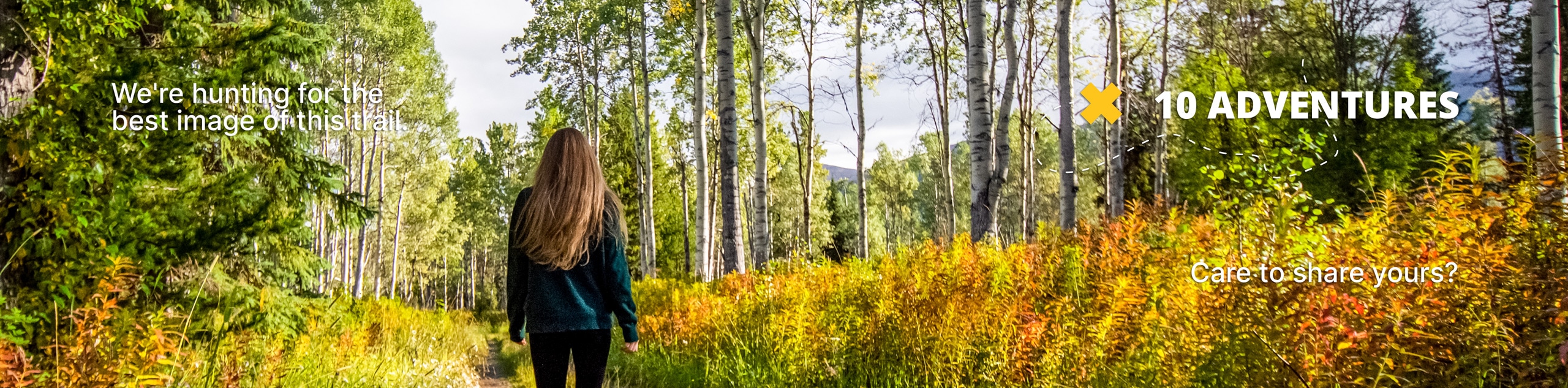
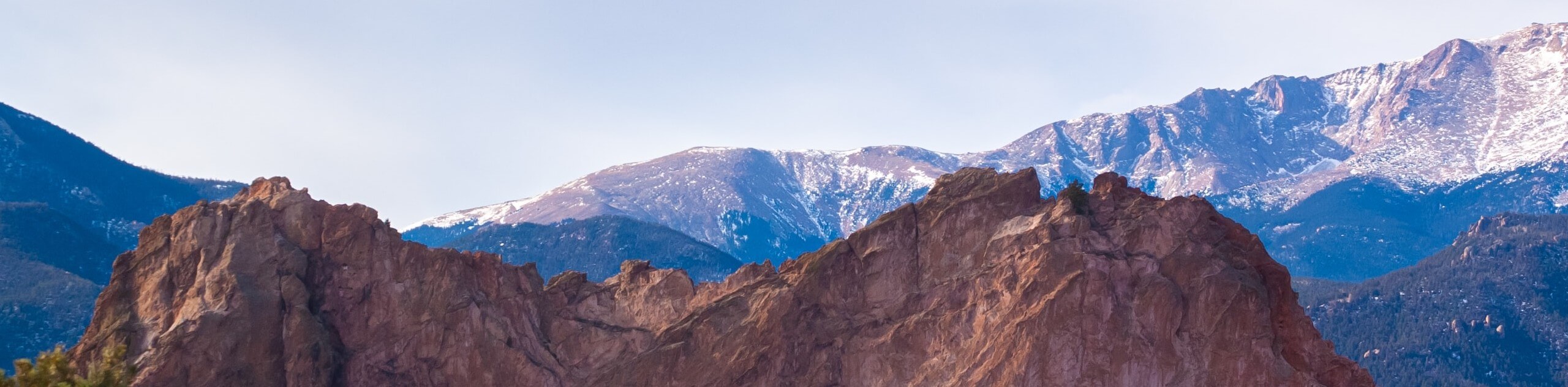
Sometimes you don’t have enough time to head west into the foothills, and that is why we love the Chaparral Trail. This stunning urban adventure travels through a charming open space cloaked with sagebrush and grassy meadowlands.
Getting there
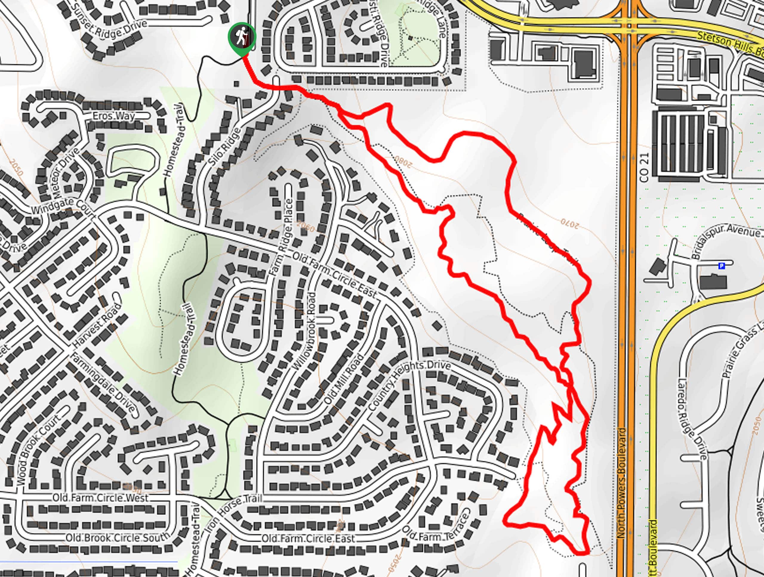
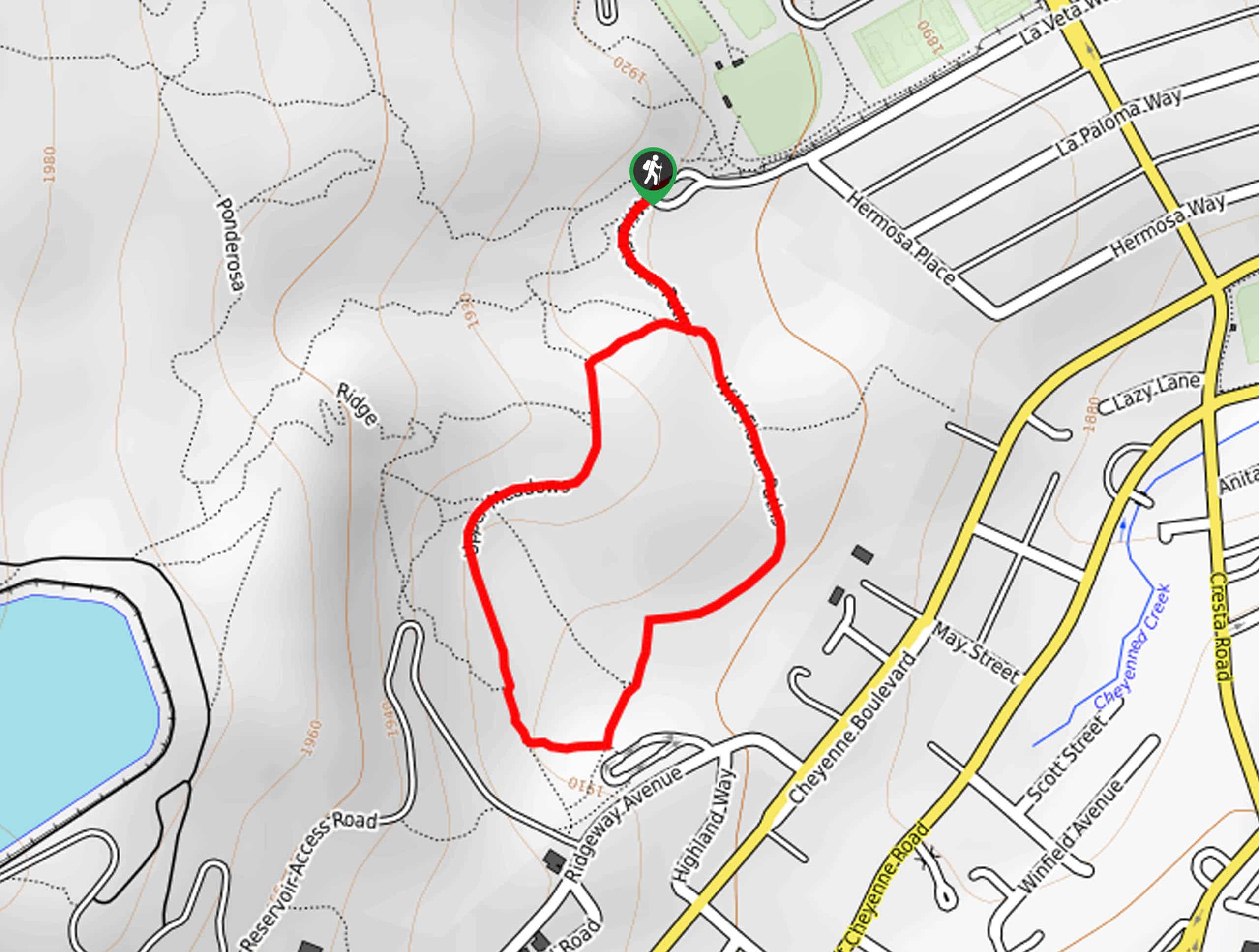
The Chaparral Trail is accessed via the Prairie Loop Trailhead off Stetson Hills Boulevard.

About
| Backcountry Campground | No |
| When to do | Year-round |
| Pets allowed | Yes - On Leash |
| Family friendly | Yes |
| Route Signage | Average |
| Crowd Levels | Moderate |
| Route Type | Lollipop |
Chaparral Trail
Elevation Graph
Weather
Chaparral Trail Description
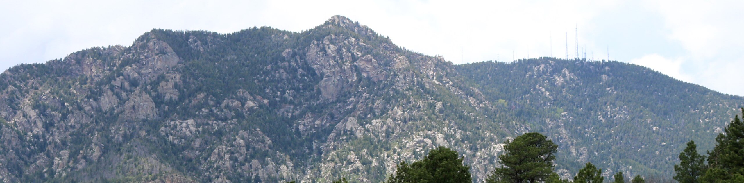
The Chaparral Trail is an amazing adventure that reveals awe-inspiring sights of the Front Range that lines the horizon and the cityscape below. Head out into the fresh air and break a sweat as you make your way around the loop. A popular outdoor escape, you will likely be in the company will several other adventurers unless you head out in the early morning—which we recommend. Note the terrain is exposed, so be prepared for warm conditions in the summer months!
Your journey along the Chaparral Hike departs from the Prairie Loop Trailhead off Stetson Hills Boulevard. From here, head south along the path, crossing over the Silo Ridge Road not long after beginning your adventure. Soon you will enter the High Chaparral Open Space and meet an intersection. Here, keep hiking along the Prairie Loop Trail heading southeast. At the next junction, keep right, and you will be diverted onto the Ridgetop Trail. Soon the path will merge onto the Prairie Loop Trail. Hike this path to the south of the park before being diverted north.
As you wander north, the path will near a busy road, so you may be clouded by traffic sounds. Enjoy mountain views in the west and continue along the Prairie Loop Trail, all the way back to the trailhead.
Similar hikes to the Chaparral Trail hike
Zook Loop
The Zook Loop is an awesome family-friendly nature walk that exhibits breathtaking panoramas of Cheyenne Mountain looming above. Explore the…
Wildflower Path and Upper Meadows Loop
The Wildflower Path and Upper Meadows Loop is a lovely nature walk through the Stratton Open Space. Immerse yourself in…
Ute and Niobrara Loop Trail
The Ute and Niobrara Loop Trail is an awesome adventure in the Garden of the Gods. Traveling along the outskirts…
Comments