Bow River Trail
View Photos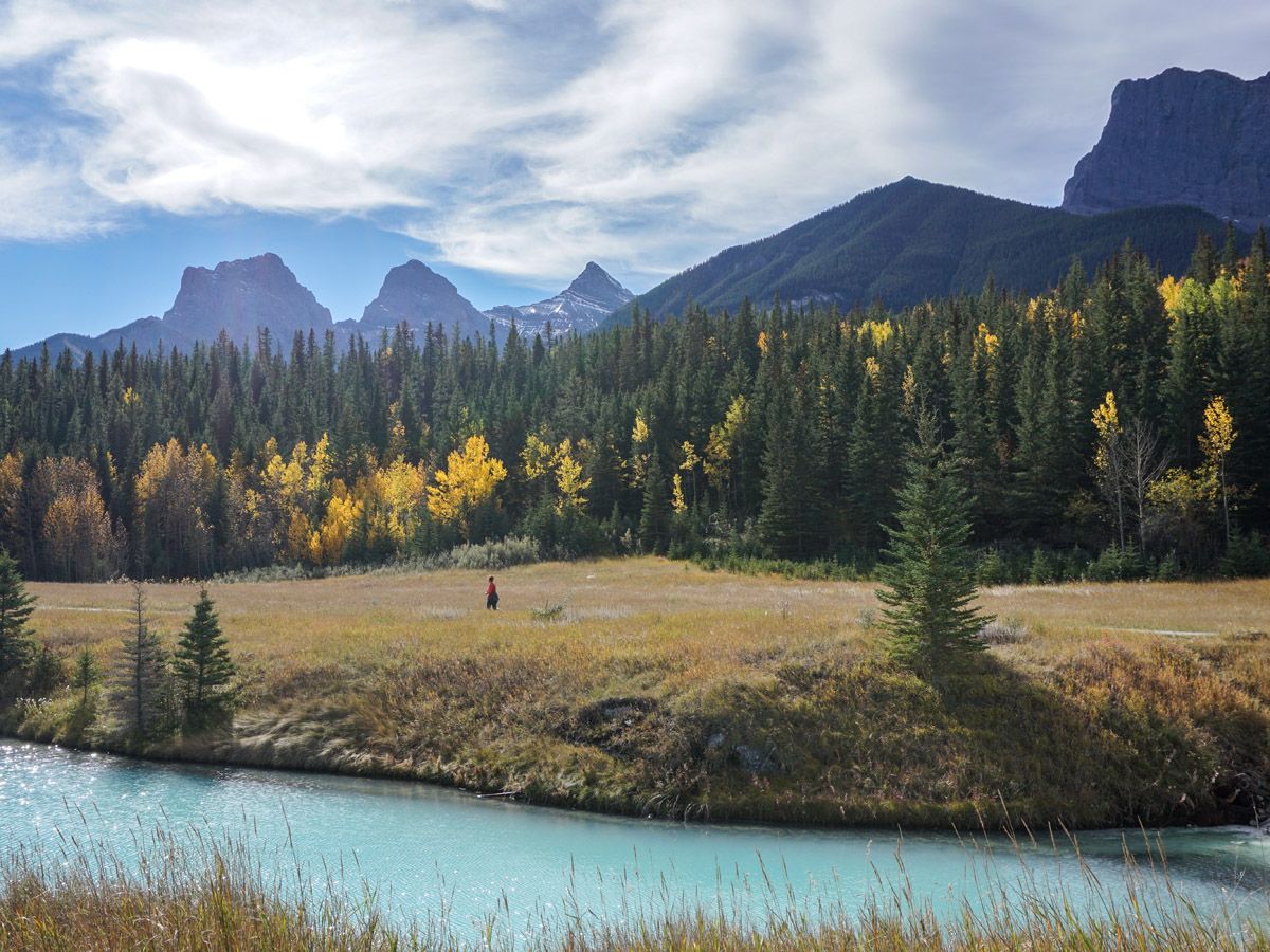
Bow River Trail
Difficulty Rating:
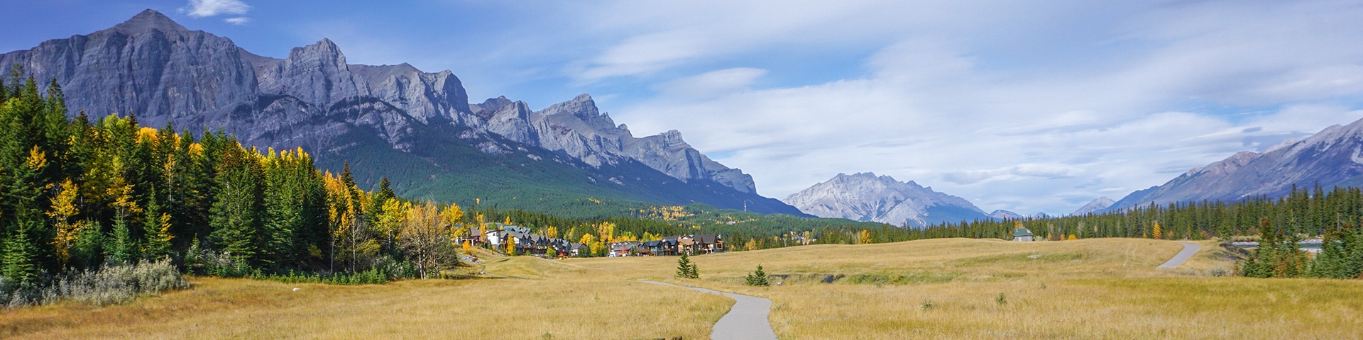
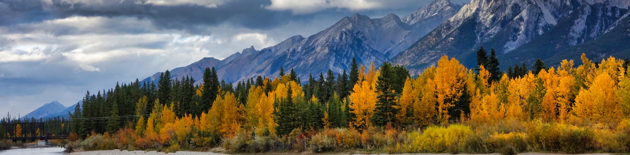
Walking along the Bow River is one of the best family-friendly trails in Canmore, and a great way to explore the Bow Valley and Bow River. Start in Downtown Canmore and wander up or down river, with great views and a fine path. Great hike for those with strollers.
Getting there
Park downtown or in Three Sisters. Wander along the pathway as long as your legs will take you.

About
| When to do | All Year |
| Backcountry Campsites | No |
| Toilets | Downtown Canmore |
| Family friendly | Yes |
| Route Signage | Average |
| Crowd Levels | Moderate |
| Route Type | Out and back |
Bow River Trail
Elevation Graph
Weather
Route Description for Bow River Trail
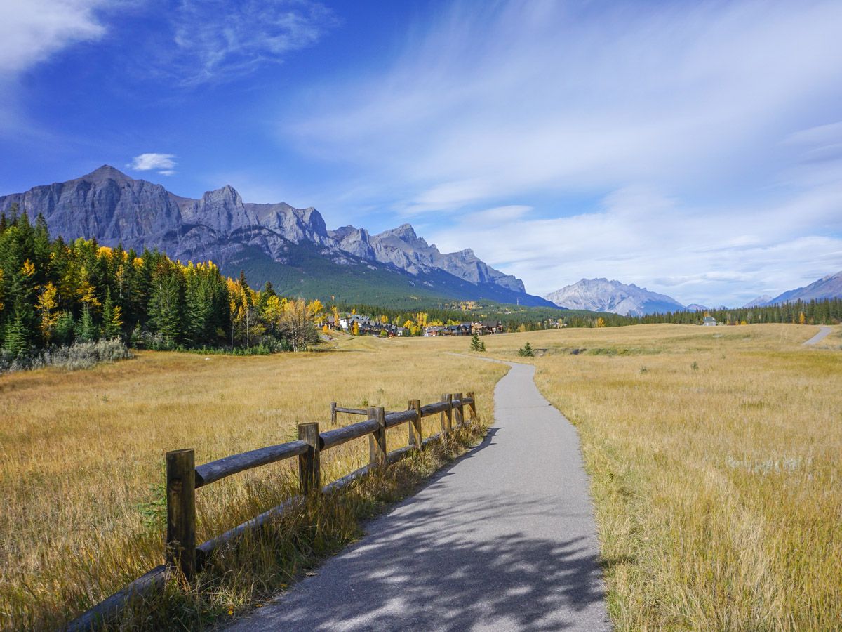
This is a favorite hike with families, as the path is mostly paved and easy to navigate with a stroller. The pathway system stretches along the Bow River from Three Sisters all the way up to Larch Island in the North.
The distance we show is an out-and back route, though you can do less if that’s too far. Some families do this as a one-way hike, parking a car at either end.
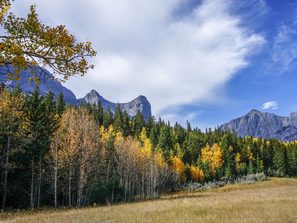
We prefer to park in Three Sisters on Drygas Gate. The Three Sisters pathway initially cuts between houses on the right and a pretty forest on the left. Cross Fitzgerald Rise after 984ft and then continue down to the crossing of the Three Sisters Parkway (0.7mi). From here you can take the easy path to the left or descend to the river and enter the forest for a wonderful walk along the water. Follow this route and eventually come to a stream before rejoining the main trail (1.6mi). Continue along the path, eventually climbing a rise in a series of switchbacks and coming into more open country.
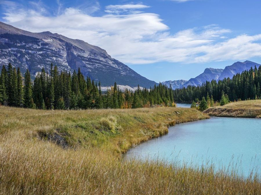
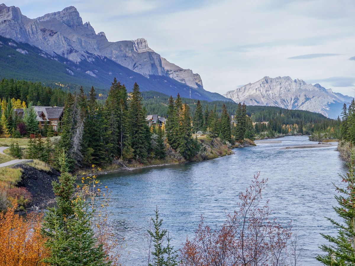
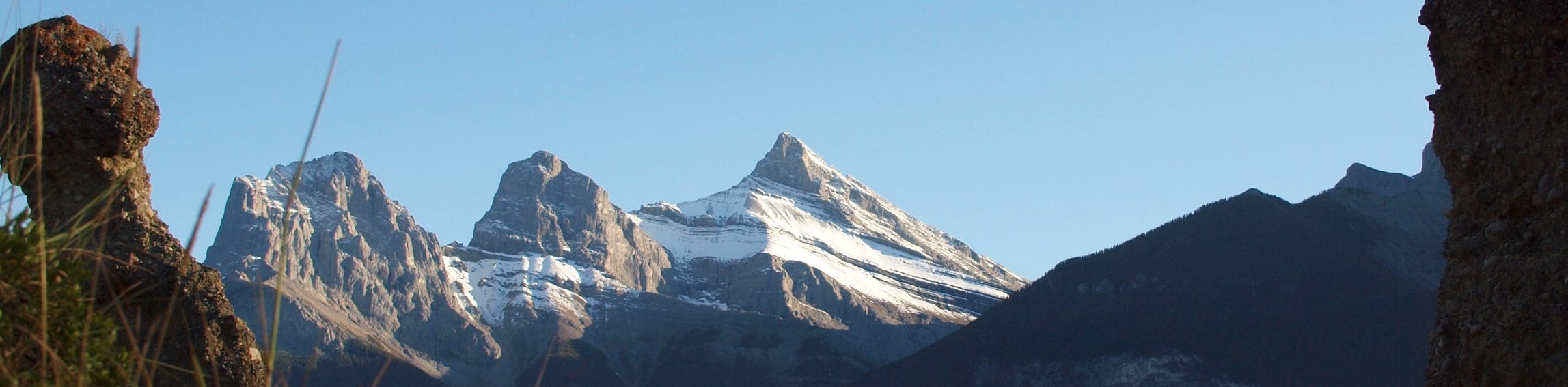
Come down the hill and you’ll notice a milky white lake on your right. Depending on the wind, you may smell it before you see it. You’ll continue on an open meadow path and then come back close to the river (2.6mi) in one of our favorite locations for a portrait in Canmore, with the Bow flowing to the north flanked by mountains on either side of the valley.
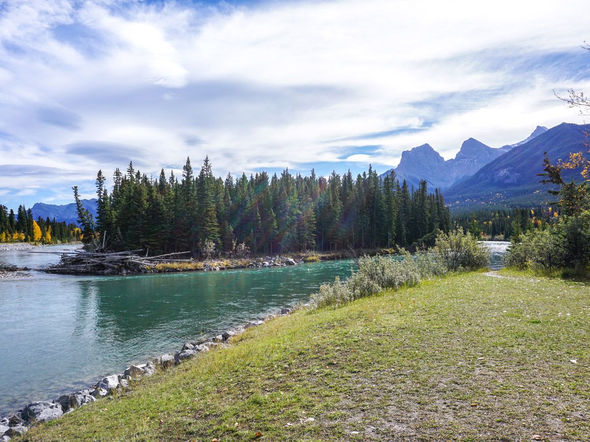
The path is evident, though with some branching’s running off. Continue ahead and eventually you come to a large open field with a playground at the far end. Cross this field then walk through a gate down a path and rejoin the Bow River. From here you can see the bridge you will cross to get into downtown Canmore. On the other side of the river, cross the road and walk down River Road.
Turn right on 8th Street and you are on Main Street Canmore.
Looking for more amazing hikes near Canmore? Check out the Grassi Lakes hike, Grotto Canyon hike or the Ha Ling Peak hike.
Insider Hints
Bring your snacks back to the picnic tables on the park you just passed and enjoy a wonderful view!

Similar hikes to the Bow River Trail hike
Canmore Hoodoos Trail
The Canmore Hoodoos Trail is a quick trip from downtown to explore the bench above the valley. It has outstanding…
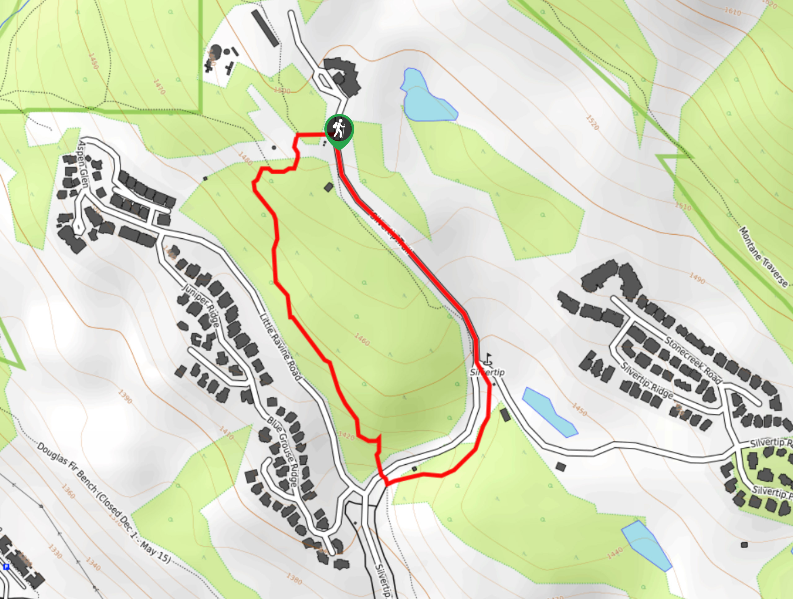
Silvertip Loop
Hiking the Silvertip Loop Trail is a nice way to escape the downtown centre of Canmore and take in scenery…
Bow River Loop
The Bow River Loop trail begins just shy of downtown Canmore, making it an easy walk to town. It is…
RobCruz 4 years ago
Me and my kids would race this trail. Of course they'd win! love it!
wenzelhd 4 years ago
This is an enjoyable shot and easy hike! The trails are fantastic! The milky white lake was impressive. It's not something that you often see.
Grant Ko. 4 years ago
Pretty easy and great. The campground areas have playgrounds, plus many benches along the way to stop, relax or snack.
Kristian Valtierie 4 years ago
This is along the river and a very flat, easy walk. Great scenery for taking pictures with mountains, bridges, and the water. We've seen interesting birds in this area as well.
Mandy H. 4 years ago
It was short and easy plus you'll get to explore and discover wonderful surroundings.
Jacob AM 4 years ago
It's a nice place to stroll around, there are lots of interesting views to enjoy.
Jackson C. 4 years ago
This place is a very romantic place, glad there's no big crowds!
Theodore R. 4 years ago
Another great trip! We visit every couple of years and I look forward to our next visit!!!
SebClyde 4 years ago
Fantastic trip with amazing landscapes and lots of animals.
Donald J. 5 years ago
Perfect hike for all ages.