Lafarge Meadows hike
View Photos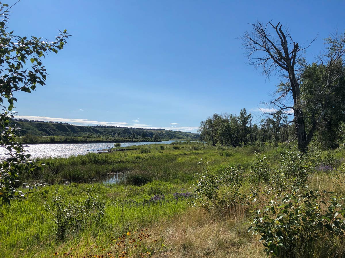
Lafarge Meadows hike
Difficulty Rating:
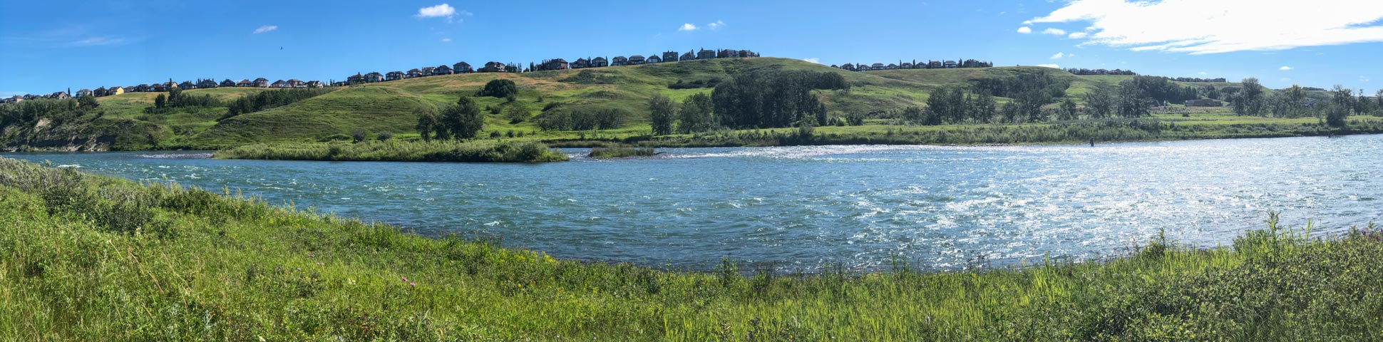
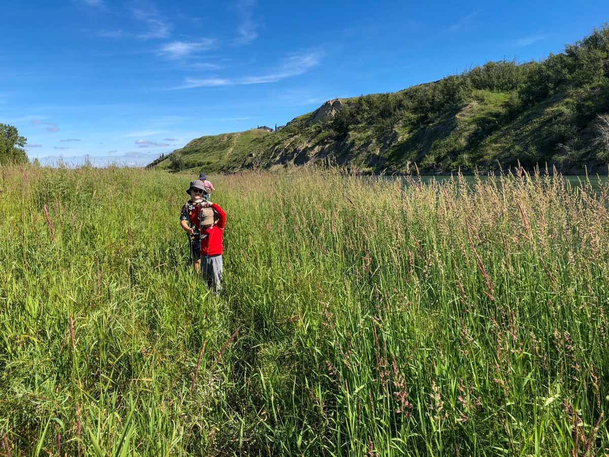
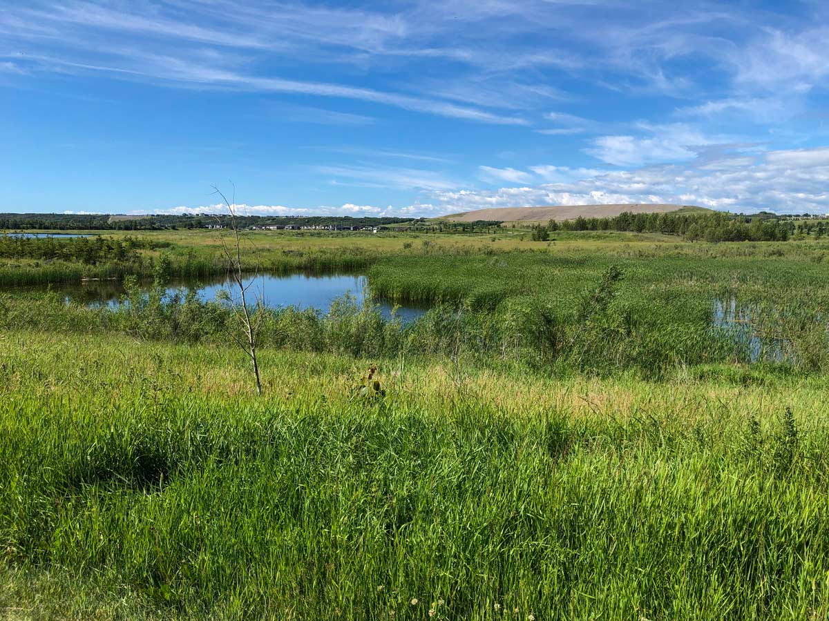
Be sure to grab binoculars and bring the whole family for a hike at Lafarge Meadows in Calgary’s Southeast. Diverse wildlife like moose, owls, osprey and red-necked grebes can be found among the engineered wetlands. Walk alongside the Bow River or maybe even cast a line in the water, then head past the Blue Devil Golf Club where you can spot golfers practicing their swing.
Getting there
Take Deerfoot South and keep right for Bow Bottom Trail SE, then follow Bow Bottom Trail SE until you reach Fish Creek. Enter Fish Creek Park and keep driving until you reach the Fish Creek boat launch parking lot.

About
| When to do | Year-round |
| Family friendly | Yes |
| Route Signage | Poor |
| Crowd Levels | Moderate |
| Route Type | Circuit |
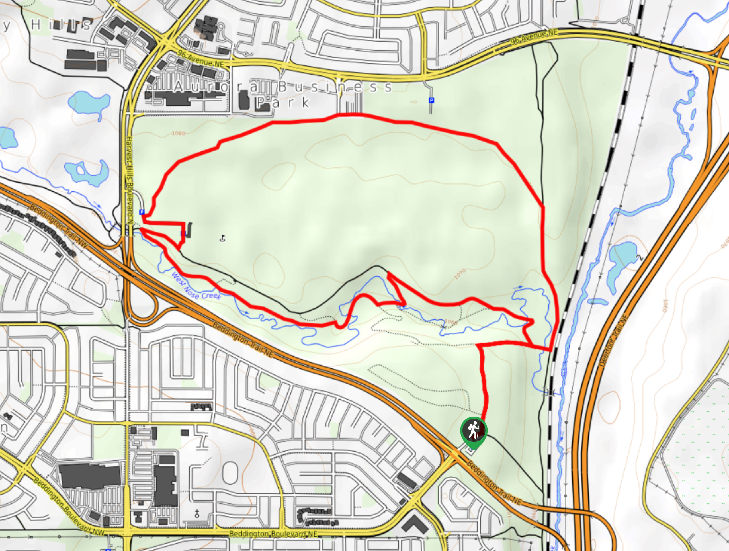
Lafarge Meadows
Elevation Graph
Weather
Route Description for Lafarge Meadows
Park at the Fish Creek boat launch parking lot, which is the last parking lot before a gate that blocks the road.
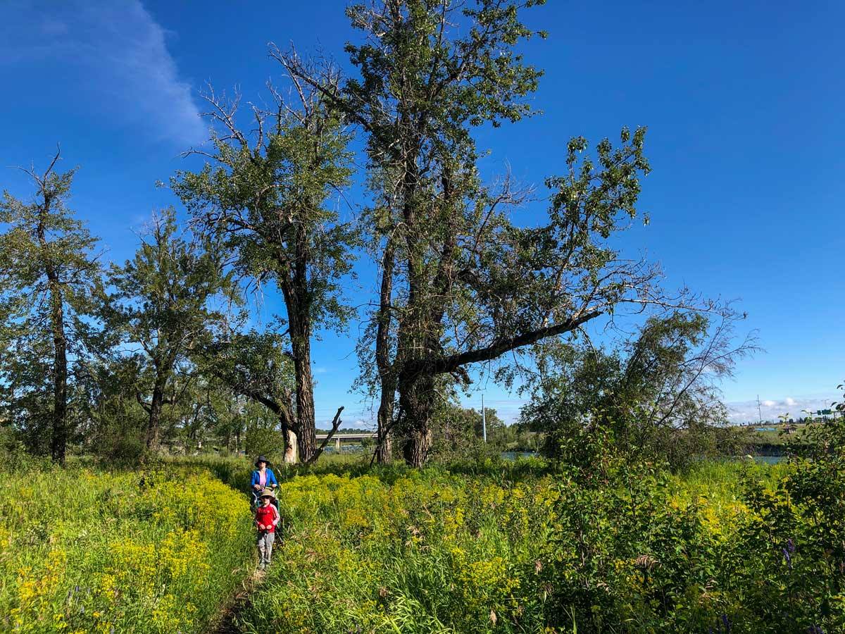
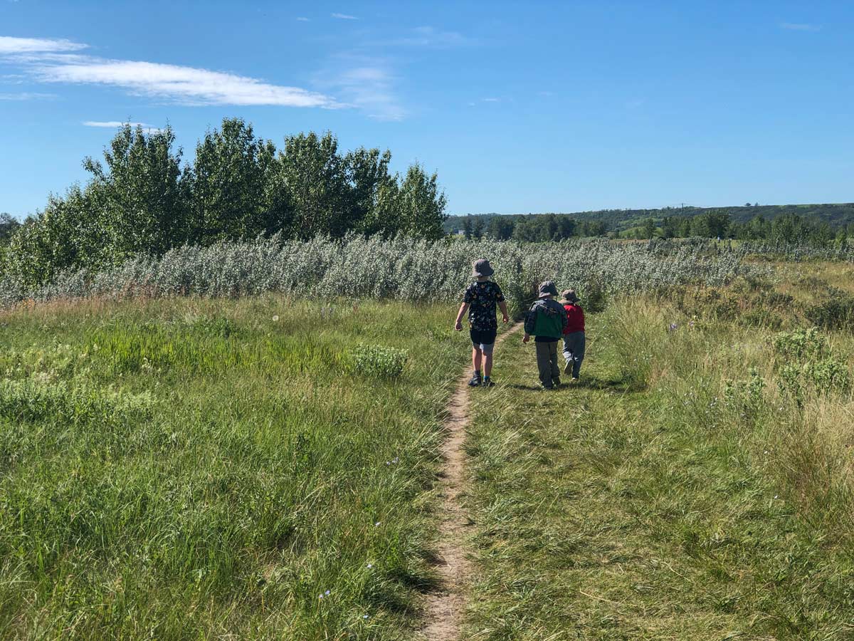
Walk back towards the road and turn left, heading through a gate and under Stoney Trail. Once you walk under the overpass, you’ll notice a dirt trail to your left-hand side next to the river.
Follow along the dirt path to enjoy a closer view of the river and some shade among the trees. Be warned that the trail is narrow, and at times can require hopping over small water features. We’ve always been able to get our single chariot stroller over, but sometimes it’s a bit stressful, don’t be afraid to turn around.
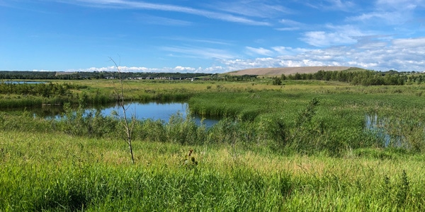
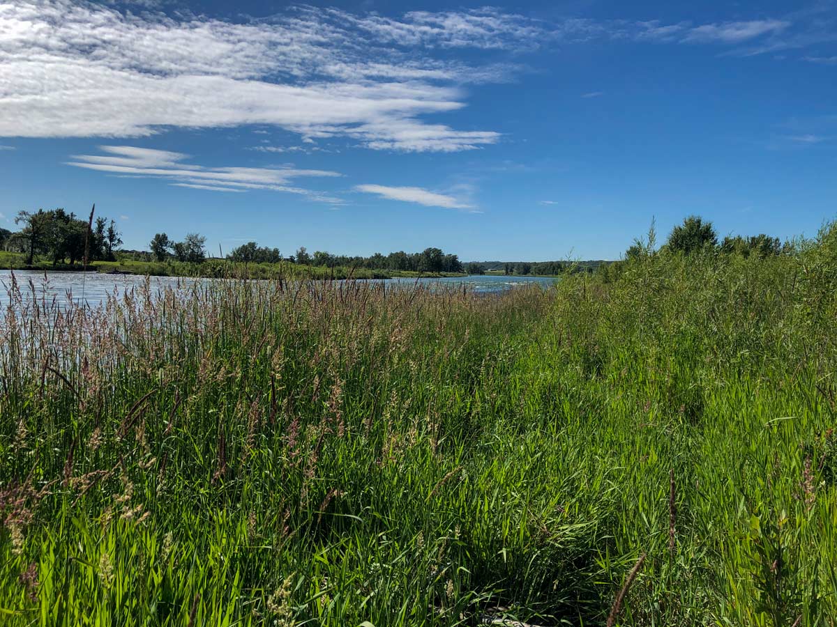
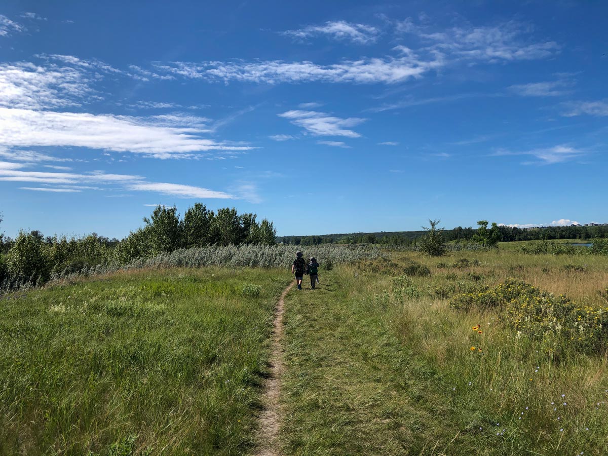
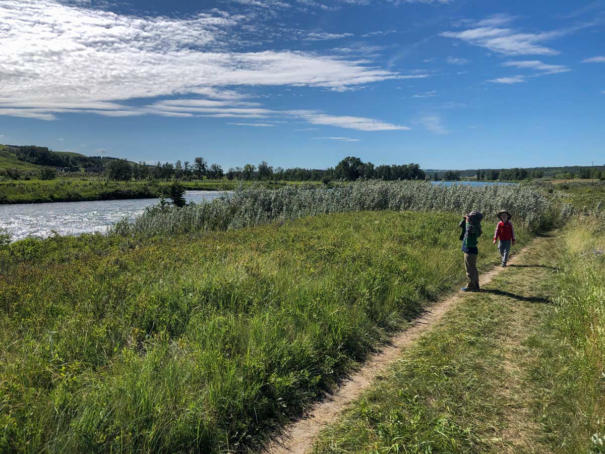
Travel south along the dirt trail, where you’ll find the occasional pebbled beach. These are perfect if you want to relax in the sun or have a picnic.
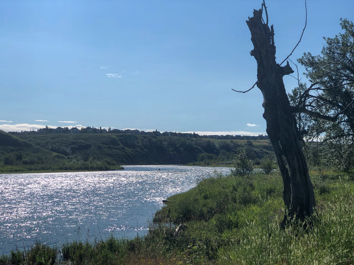
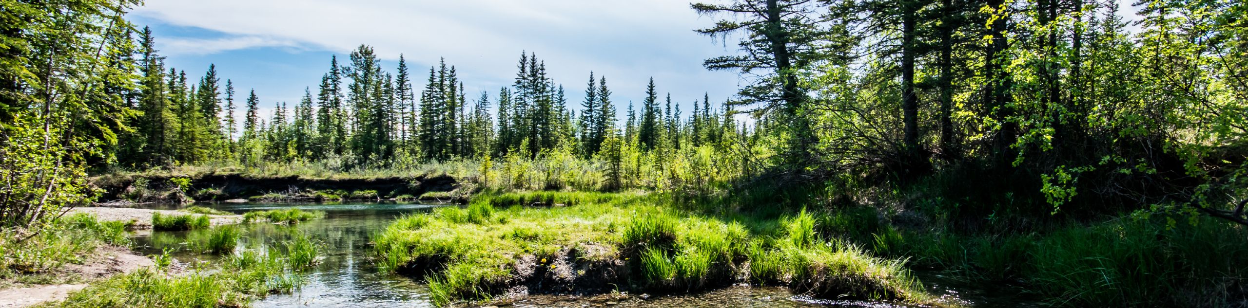
Continue to follow the path, looking out for waterfowl on the water like pelicans, hawks, eagles, ducks and ospreys. You’ll often see fly fisherman here as well. It’s a scenic, peaceful spot.
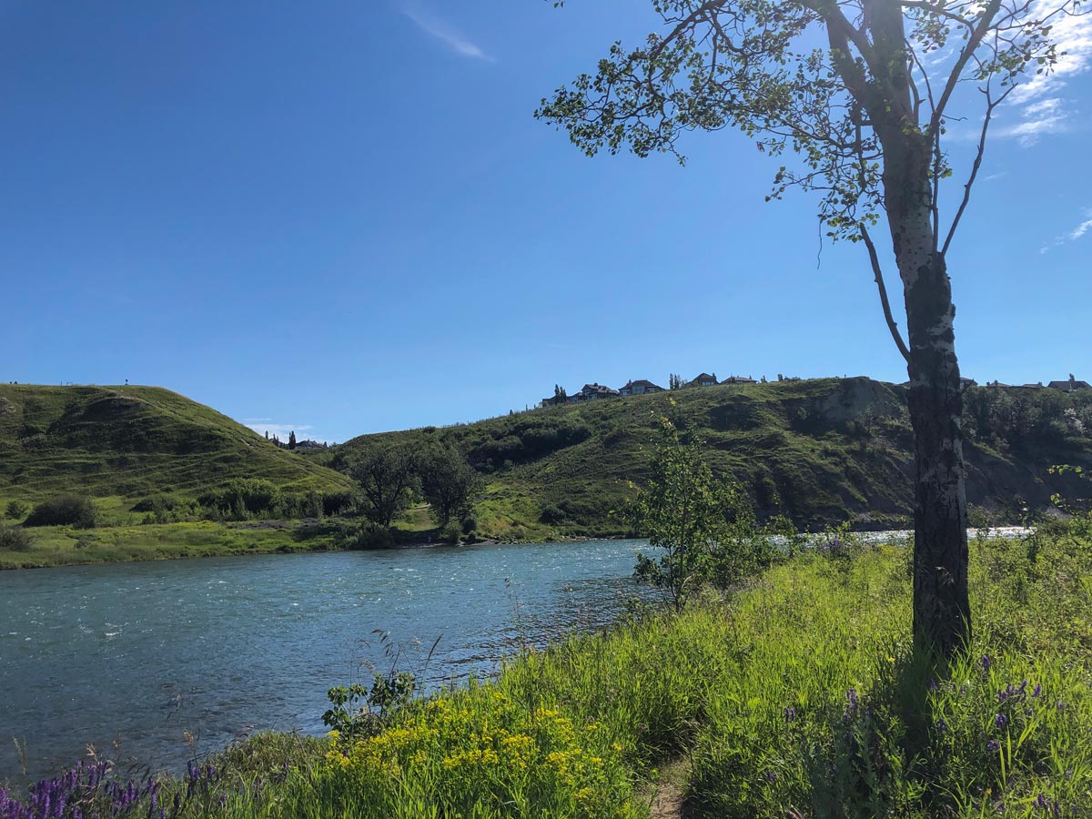
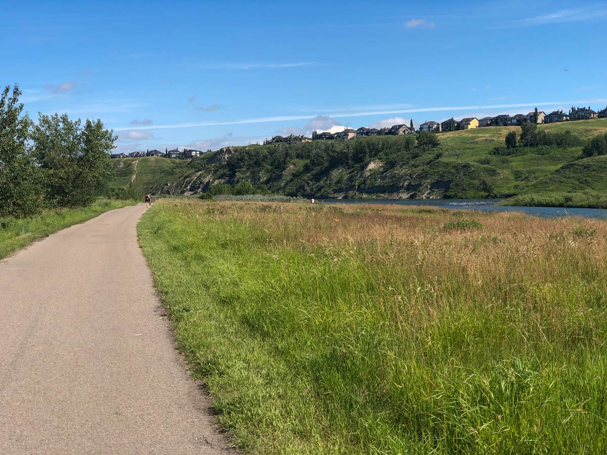
Eventually the path narrows and then becomes very faint. It’s easy to keep following the river, however the smart walker will move off from the path beside the river and head up to the right to find another dirt path on a rise above the river. Follow this path until you get to a paved bike trail. Follow the paved trail until it turns right (west) into the community of Wolf Willow.
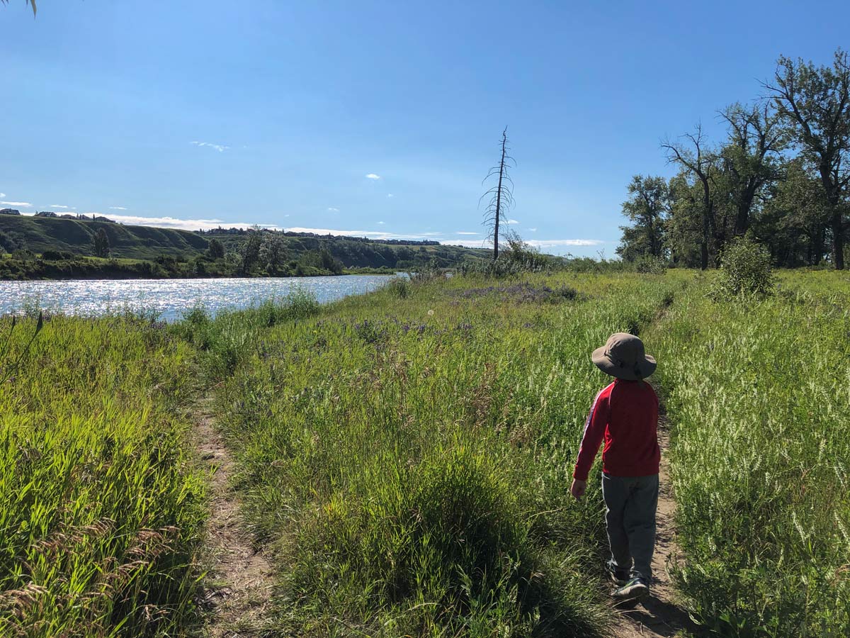
This is the turnaround point, so head back along the same paved bike path.
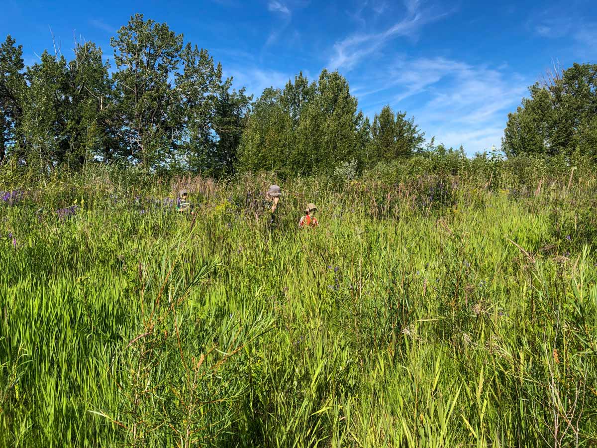
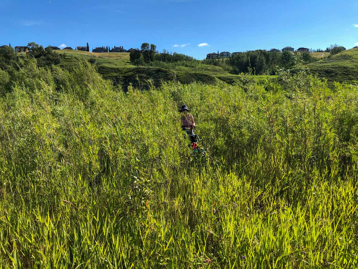
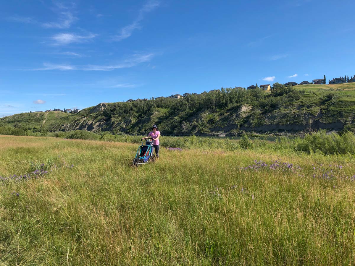
Walking back along the paved bike path makes for an easy trip back through beautiful grasslands. The tall grass and shrubs on either side are the perfect hiding place for birds, so keep an eye out in the surrounding trees. Keep your ears open for frogs, along the edges of ponds as well.
On your left-hand side, you’ll notice the Blue Devil Golf Club, where golfers can be seen zipping by in golf carts and practicing their swings.
Keep walking north until you find yourself back on Bow Bottom Trail SE. Follow the road until you reach the parking lot.
Side note: If the bridge is under construction (as it is currently), you can start the hike from the south end by going past the Blue Devil Golf Course.
Insider Hints
The hike can be extended by going north up to Hulls Wood and even to Fish Creek Ranch.
If you plan on taking the dirt trail on our map, be sure to pay attention to where the right path is so you don’t end up bushwhacking.

Similar hikes to the Lafarge Meadows hike
Nose Creek Park Loop
The short and easy Nose Creek Park Loop Trail is a good trail for families looking for fresh air. This…
Griffith Woods Perimeter Loop
Griffith Woods Park is located at the southwest edge of the city, making it feel like you have completely escaped.…
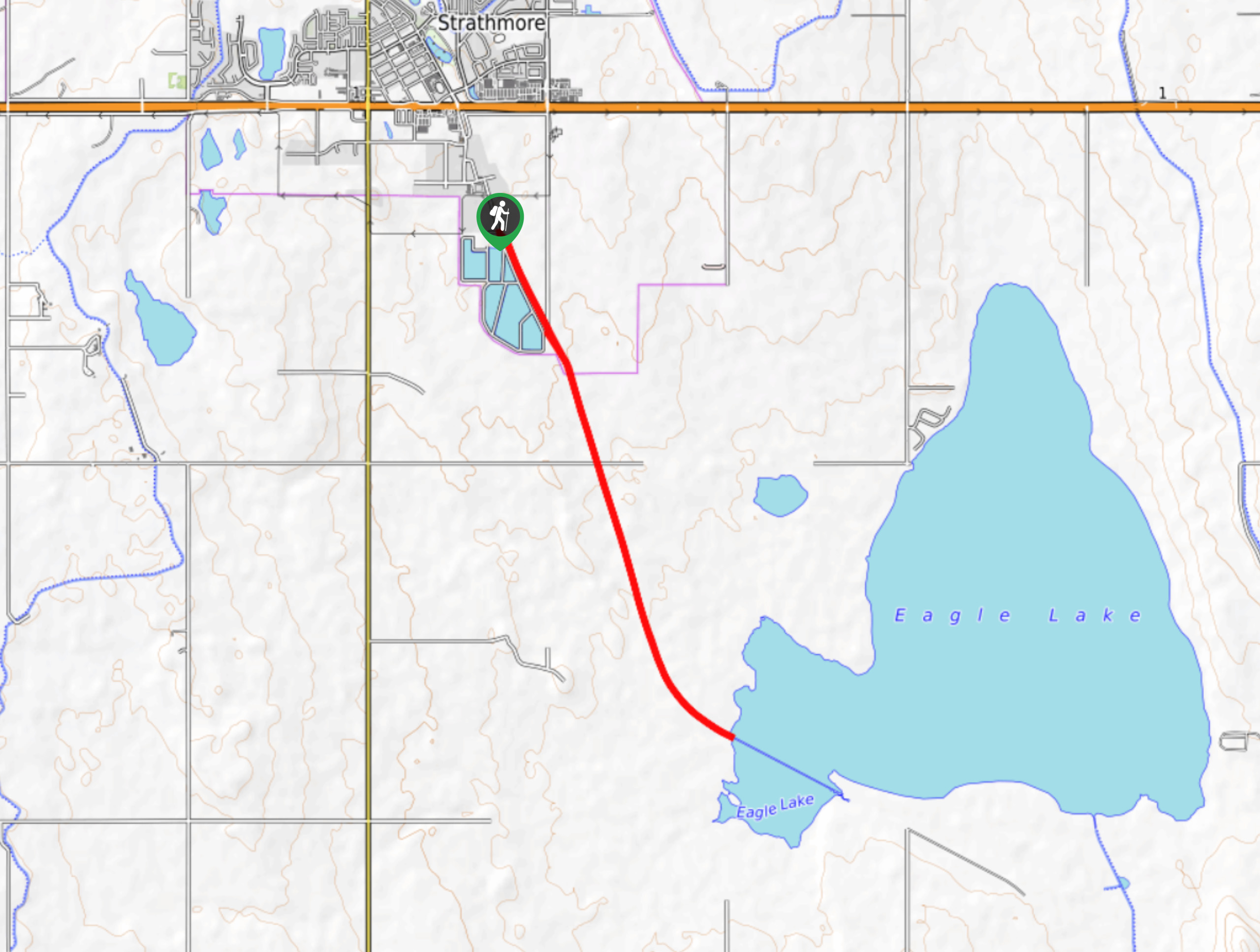
Eagle Lake Trail
The hike to Eagle Lake is a great flat and easy trail to a remote lake. Eagle Lake is just…
Rogeryyc1 2 years ago
You cannot access the trail from the boat ramp as there is construction on the bridge. I suggest going down past Blue Devil Golf Course to access the trail from the south end.
10Adventures Team 2 years ago
Thank you for your comment! We will update our route accordingly. :)
Meng Hin Jai 4 years ago
Great spot for a walk. There was a nice place to dip feet in the river. It was very refreshing, especially during the dry season.
Mike Constance 4 years ago
Interesting place to visit. Great place to introduce to your kids if you want them to appreciate nature.
Aaron P. 4 years ago
Nice path for a walk or biking and there's access to the river. A little piece of wilderness in the city. Highly recommended.
Paul D. 5 years ago
A beautiful experience not so far from the city. Simply amazing views with fresh air.
Jeremy R. 5 years ago
Stunning hike. Simply beautiful. Very easy to do and not so crowded. My friends and I were so lucky to spot some owls.
Saba L. 5 years ago
Impressive view of the meadows and wildlife! The moose here are very gentle. They run away whenever they see someone approaching. Better not try to get close to them. Give them some space.
Harry S. 5 years ago
After the dirt trail, you’ll find the occasional pebbled beach. You can have a picnic on the beach. Great place to relax.
Coll A. 5 years ago
Great place for leisure activities! This hike gives you a view of diverse wildlife like moose, owls, osprey, and red-necked grebes. You can walk alongside the Bow River or maybe even cast a line in the water. You can also go to Blue Devil Golf Club where you can spot golfers practicing their swing.