Anagach Woods and the River Spey Walk
View Photos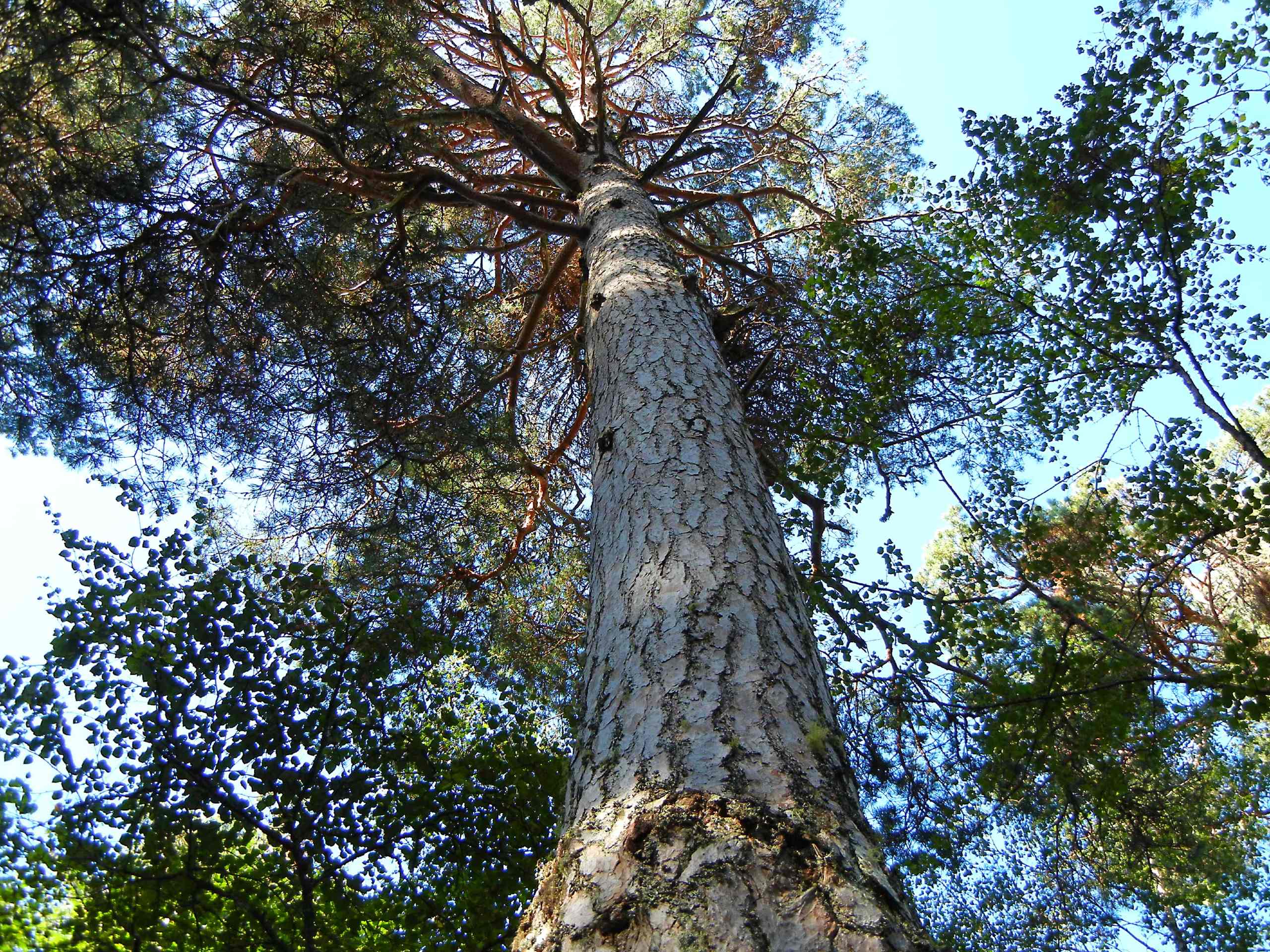
Anagach Woods and the River Spey Walk
Difficulty Rating:
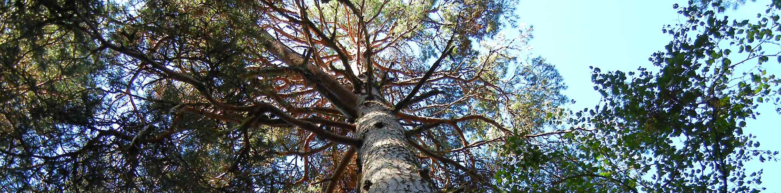
The Anagach Woods and the River Spey Walk is a favourite among locals and visitors alike. The trail immerses you in a world of towering Scots pinewood accompanied by the gentle flow of the River Spey. As one of the longer waymarked trails through Anagach Woods, this walk allows you to enjoy the tranquil forest as well as the peaceful riverbank of the River Spey.
Getting there
To get to the Anagach Woods and the River Spey Walk from nearby Aviemore, take Dalnabay and B9152 to A95 and drive 1.9mi. Continue onto A95 and drive another 11.7mi. Then, continue on B9102 and drive to The Square in Grantown-on-Spey where the walk begins.

About
| Backcountry Campground | Wild Camping |
| When to do | Year-round |
| Pets allowed | Yes |
| Family friendly | Older Children only |
| Route Signage | Good |
| Crowd Levels | Moderate |
| Route Type | Lollipop |
Anagach Woods and the River Spey Walk
Elevation Graph
Weather
The Anagach Woods and the River Spey Walk Trail Description
The Anagach Woods and the River Spey Walk takes you from the heart of charming Grantown-On-Spey through the charming Anagach Woods and alongside the lovely River Spey. Waymarked trails throughout make navigation a breeze and allow you to focus on the stunning scenery that surrounds you the whole way through.
Find a suitable parking spot in the centre of town before setting out on the east side of the main street spotting signs for Speyside Way. Up ahead, you’ll continue past a sprawling green golf course before joining the trail marked “Speyside Way to Cromdale.” At the junction up ahead keep left to hear through a gate and continue to look out for the Speyside Way markers. As you continue the track, you’ll be welcomed by towering pines reaching dizzying heights on either side of you as you make your way deep into the woods. Further on you’ll cross a bridge to reach the quiet riverbank where you’ll head upstream. You’ll soon spot the ancient Old Spey Bridge with its pronounced arches and ties to the old Military Road dating to 1754.
After passing beneath the bridge, continue along the riverbank before setting back out into the woodlands for the final section. When some steps on the right are reached, head up them to join the Old Military Road which leads back to Grantown. When the Anagach Woods car park is reached, continue the route to the centre of Grantown where the walk began.
Similar hikes to the Anagach Woods and the River Spey Walk hike

Loch an Eilein, Loch Gamhna, Old Logging Way Loop
The Loch an Eilein, Loch Gamhna, Old Logging Way Loop is a wonderful walking trail in Cairngorms National Park that…
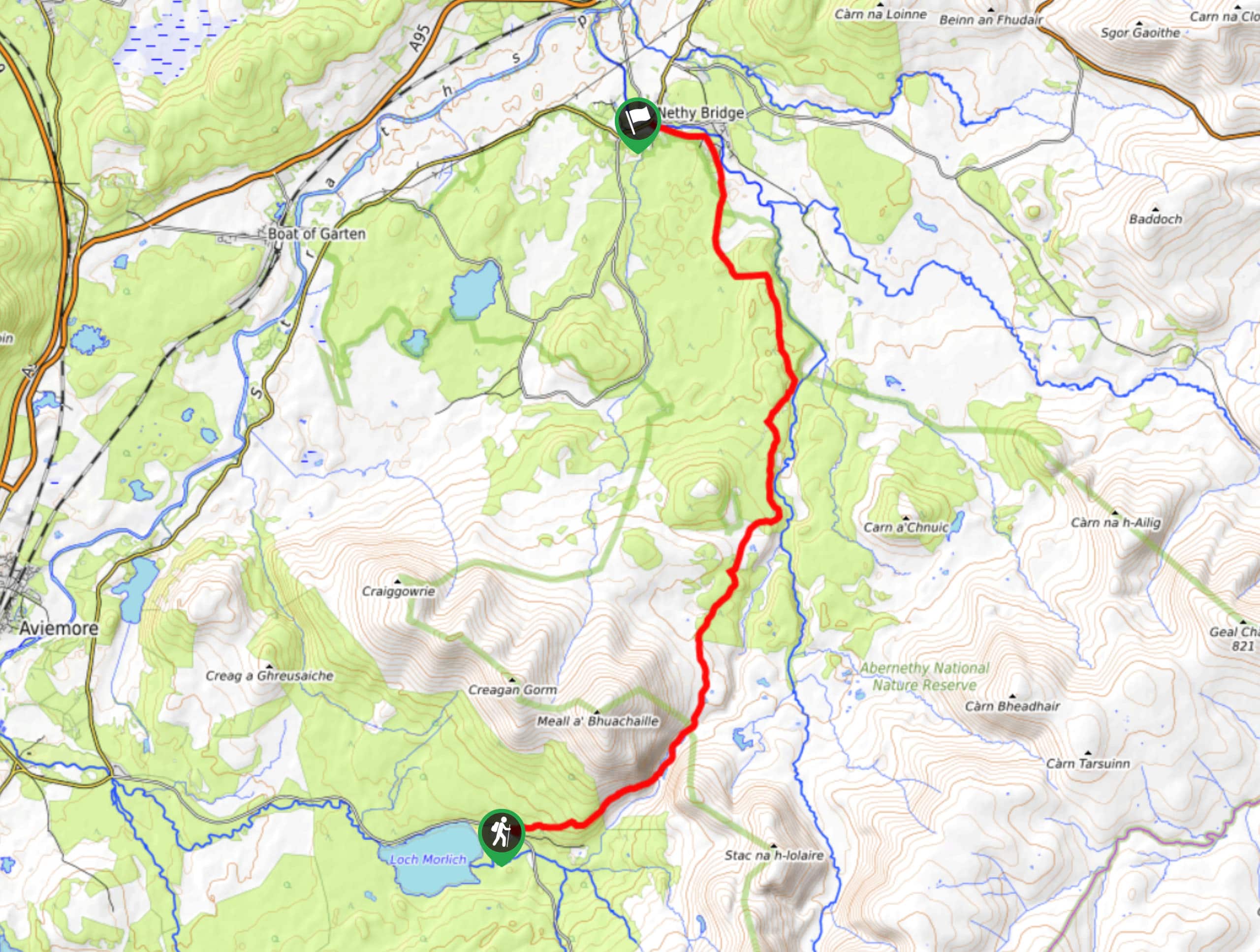
Loch Morlich to Nethy Bridge Walk
The Loch Morlich to Nethy Bridge Walk is a fun one-way trail in Cairngorms National Park that will lead you…
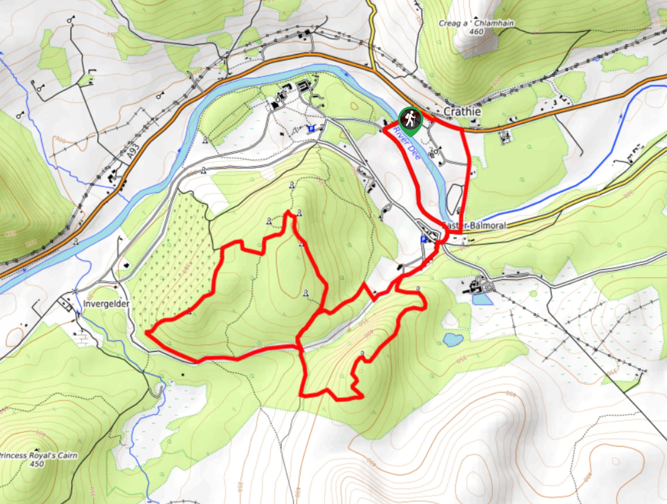
Crathie, Easter Balmoral and Cairns Circular Walk
The Crathie, Easter Balmoral, and Cairns Circular is a wonderful adventure in Cairngorms National Park that will see you explore…
Comments