Golden Wall / Castle Bridge Loop hike
View Photos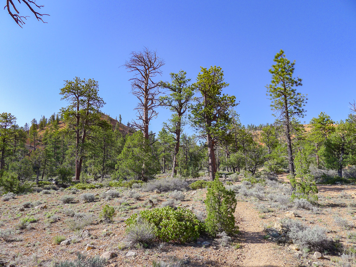
Golden Wall / Castle Bridge Loop hike
Difficulty Rating:
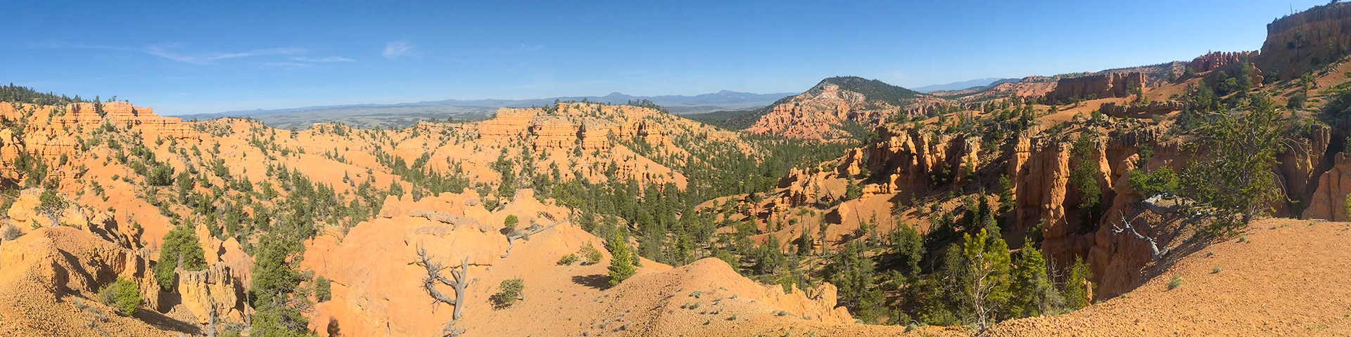
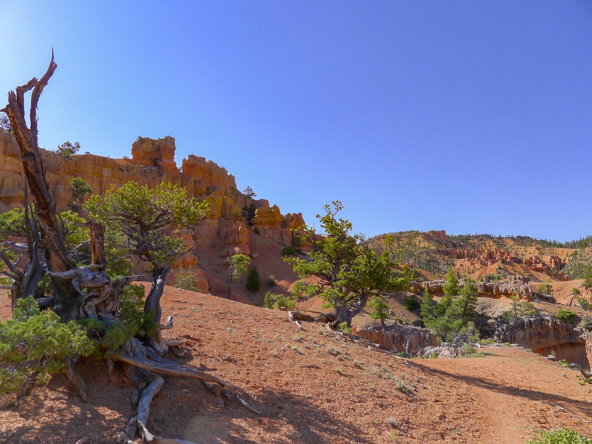
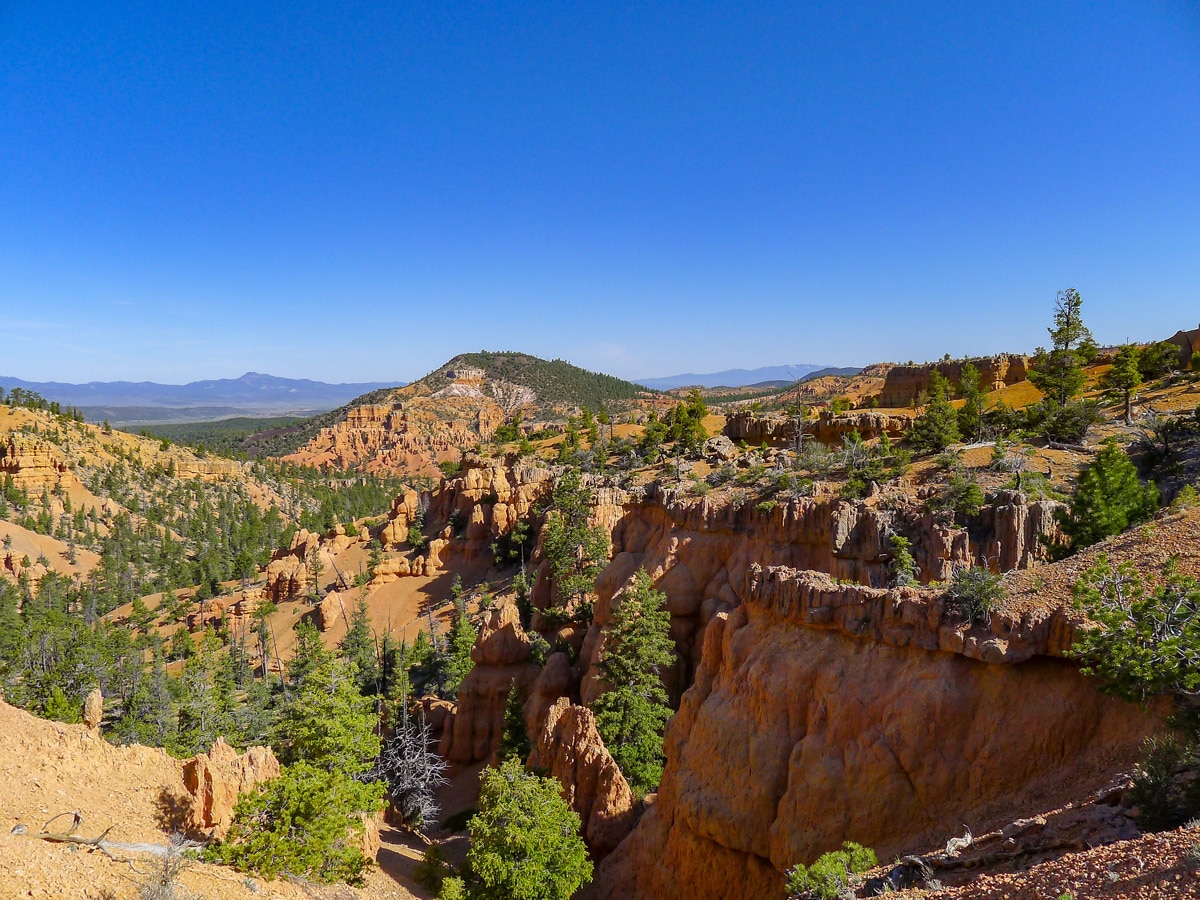
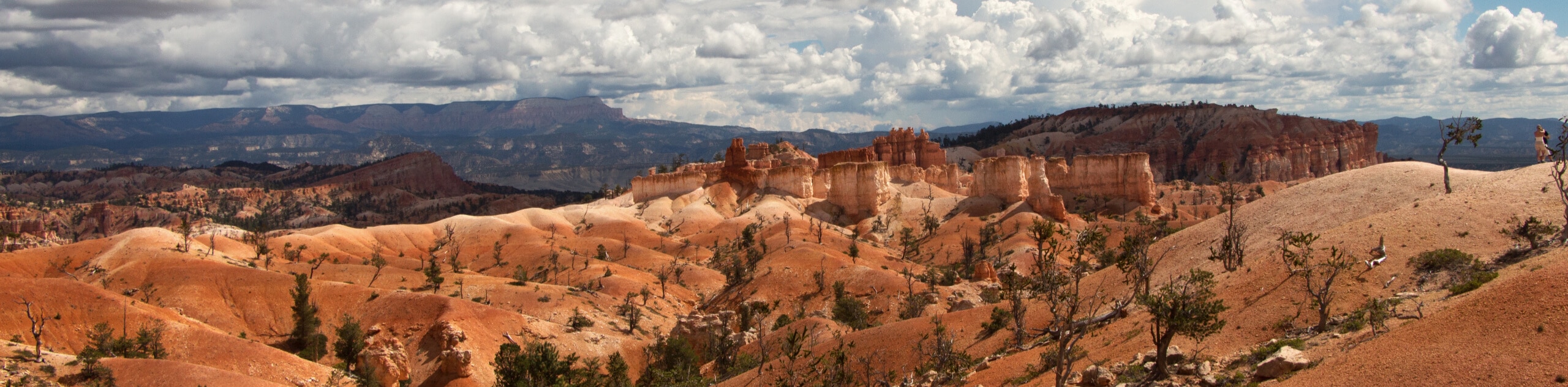
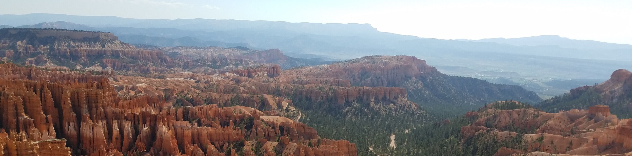
This stunning hike in the "Little Bryce Canyon", also known as Red Canyon, leads up a gully to a spectacular exposed ridge. Here you will get fantastic views of red rock formations and hoodoos.
Getting there
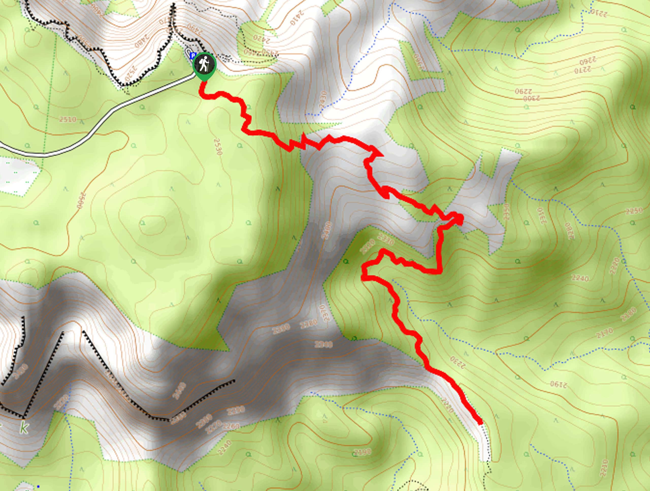
From the town of Bryce, head north towards the junction with Highway 12. Turn left and hop onto Highway 12, soon entering the Dixie National Forest. After passing under the two scenic red arches you will see signs for the Red Canyon Visitors Centre. Just past the visitors centre there are pullouts on both the left and the right side. Try to park in the left pullout, however if necessary park on the right pullout. The trail is located just across the paved bike path from the left pullout.

About
| When to do | Spring, early summer and fall, avoid summer heat and winter snow |
| Backcountry Campsites | None |
| Toilets | At Visitors Centre near trailhead |
| Family friendly | Yes |
| Route Signage | Average |
| Crowd Levels | Low |
| Route Type | Circuit |
Golden Wall / Castle Bridge Loop
Elevation Graph
Weather
Route Description for Golden Wall / Castle Bridge Loop
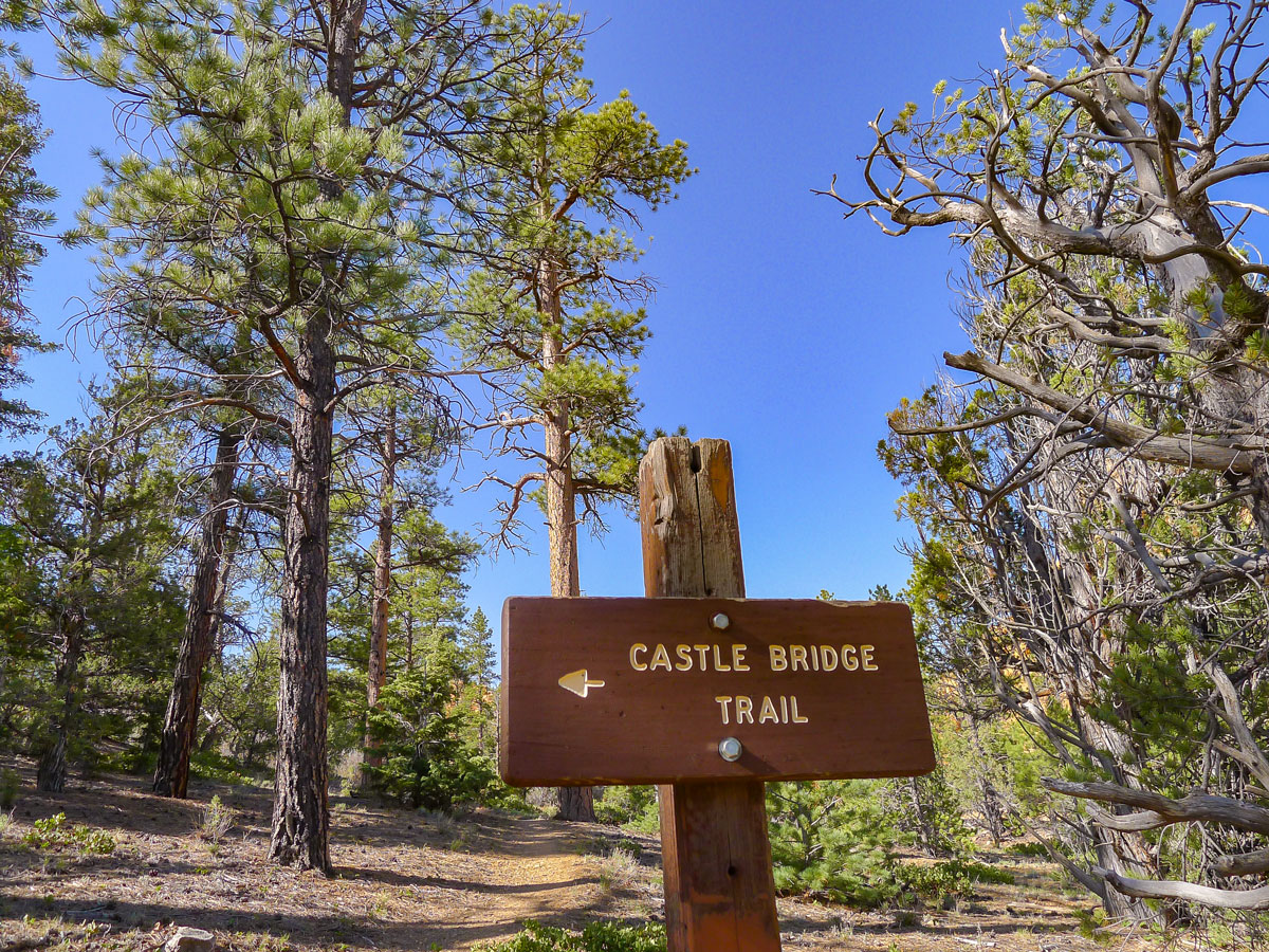
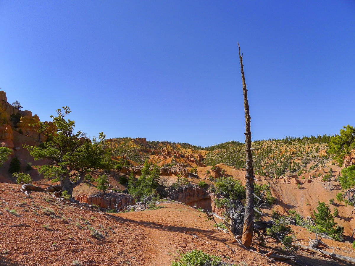
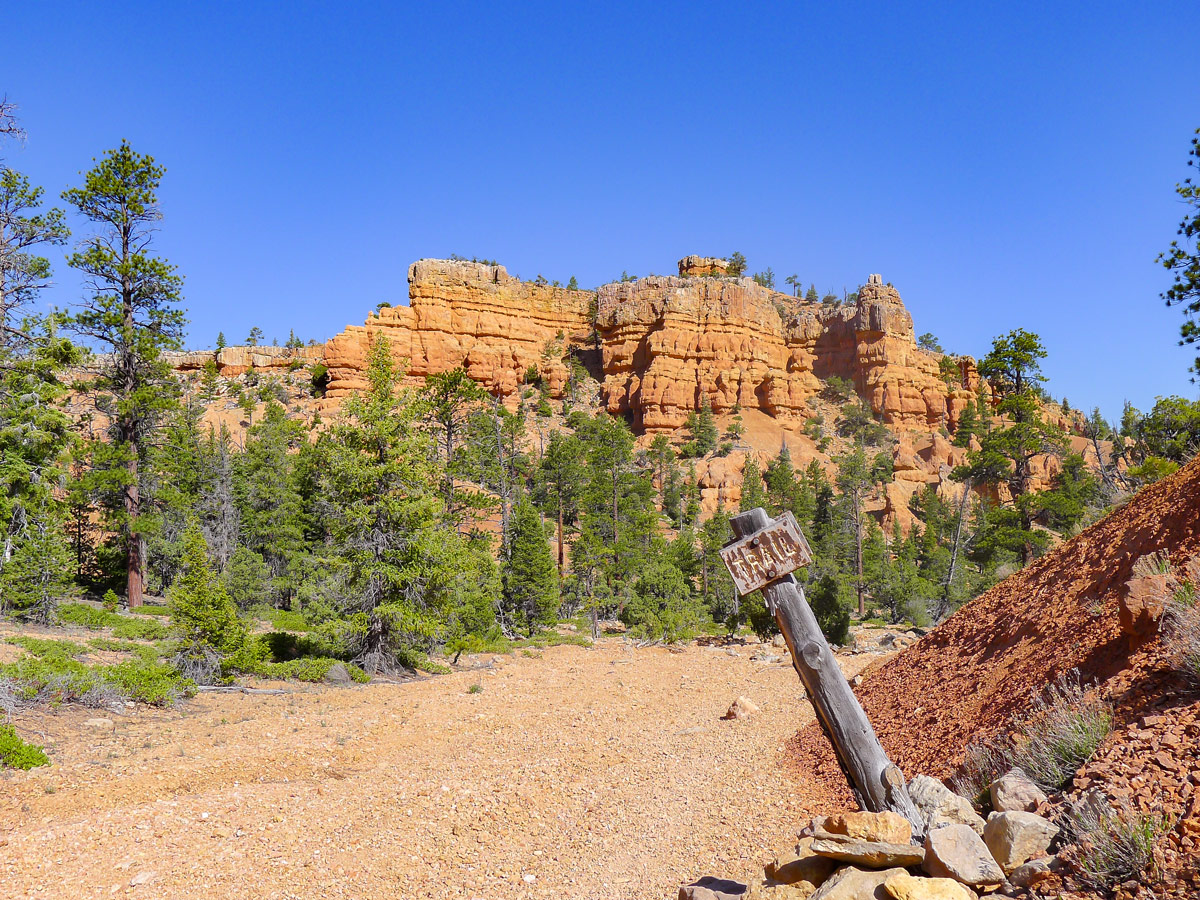
There is not a super well-defined trailhead for this hike! You will only see a large metal sign with arrows pointing towards the Castle Bridge Trail and the Golden Wall Trail. Just past these signs you will cross a wash — a dried up creek bed that flows during flash floods — and then begin on the well-defined trail.
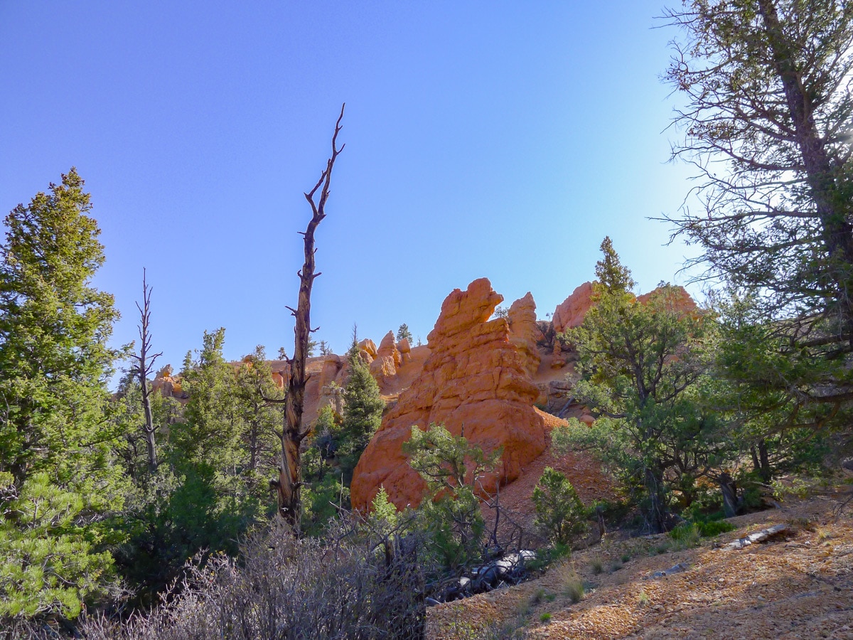
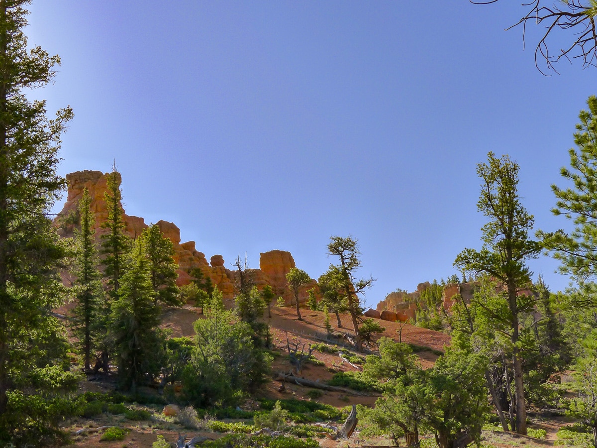
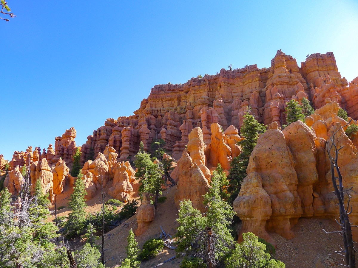
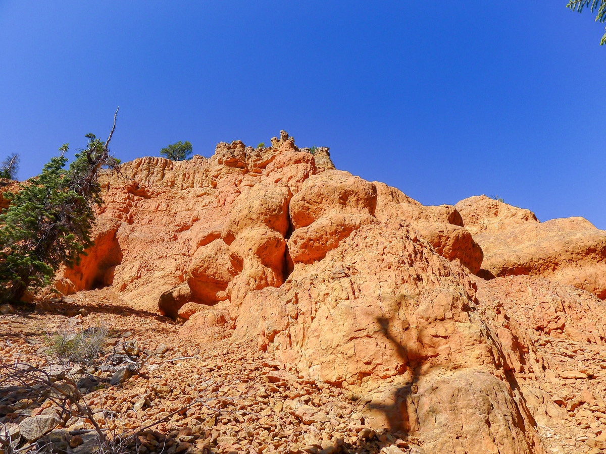
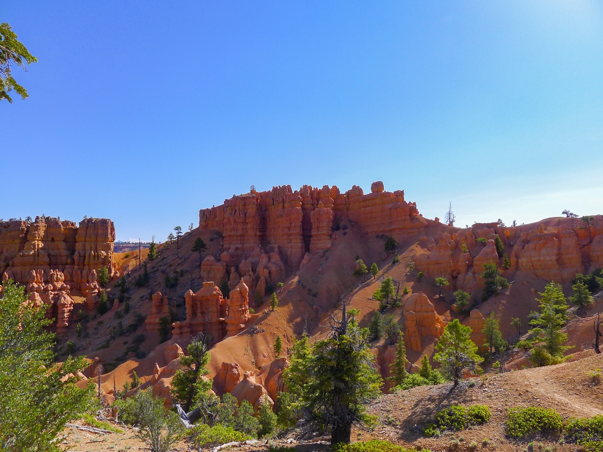
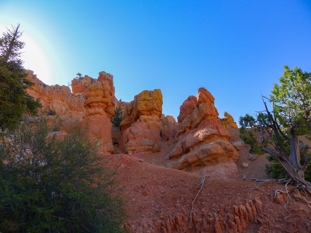
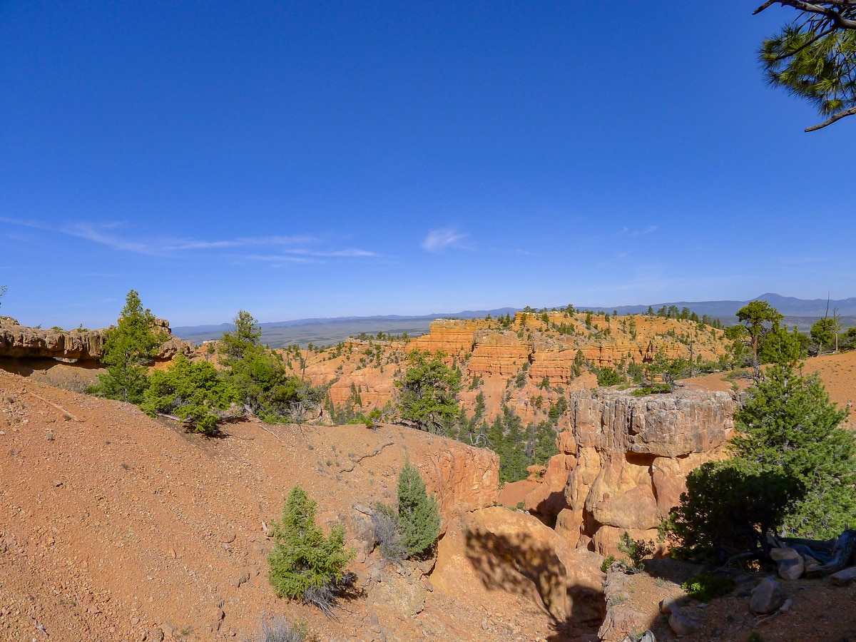
This path winds through sparse ponderosa pines as it slowly ascends the canyon. Soon you will reach a well signed junction, turn left here towards the Castle Bridge Trail. This path switchbacks up then starts to veer right. Soon you will be above almost all the trees and have fantastic views of the canyon. Red cliffs and beautiful hoodoos permeate your entire view!
Unlike many rock formations you will see in the Grand Canyon or Zion Canyon, hoodoos were not totally carved by erosion. They were, in fact, principally caused by the freezing and thawing of snow and ice every winter! The expansion of the ice has carved them out, creating the completely vertical spires that precariously perch themselves on the rock.
After climbing and descending the ridge you will come to another intersection. Turn right here to go along the Golden Wall Trail back to the parking lot. This path once again meanders through absolutely stunning pine trees. Soon you will find yourself back at the wash and your parked car.
Insider Hints
You can also continue going along the Golden Wall Trail (turning left at the final intersection), then link up with the Buckhorn Trail to form a loop. To return to your car after descending the Buckhorn, turn left and follow the paved bike path to the pullout you parked in.

Similar hikes to the Golden Wall / Castle Bridge Loop hike
Bryce Horse Trail
The Bryce Horse Trail is a great circuit in Bryce Canyon National Park. This trail is used by horseback riders…
Inspiration Point to Queen’s Garden
The hike from Inspiration Point to Queen’s Garden is a fantastic route in Bryce Canyon National Park. This trail brings…
Hat Shop via Under the Rim Trail
The Hat Shop via Under the Rim Trail is a fantastic hike in Bryce Canyon National Park. This trail leads…
leo_Martini 4 years ago
The scenery is beautiful and breathtaking.
Tiffany Swift 4 years ago
The scenery was amazing. The way down was easy. Beautiful views around every corner.
Frank M. 4 years ago
Amazing scenery and views. Beautiful rock formations are absolutely stunning.
Stevie M 4 years ago
Breathtaking, and I saw only one runner the entire time I was there. It felt like I was the only person in the whole world.
TwoBoots 4 years ago
Loved this trail. Amazing rock formations!
Anabelle Clyde 4 years ago
This loop trail offered so many amazing views throughout the entire trail. Loved it!
Willy G. 5 years ago
It was a fantastic and easy hike. Would love to hike here again.
Washington H. 5 years ago
Don't avoid the switchbacks since you get the best hoodoo views from that side of the trail. Beautiful views of the surroundings. You can also bring your dog on this trail.
Jane L. 5 years ago
The start of the trail is easy but boring. Quiet and beautiful. The way down was easy.
Becks Red 5 years ago
I love the red color