
Waun Fach Circular Walk
View Photos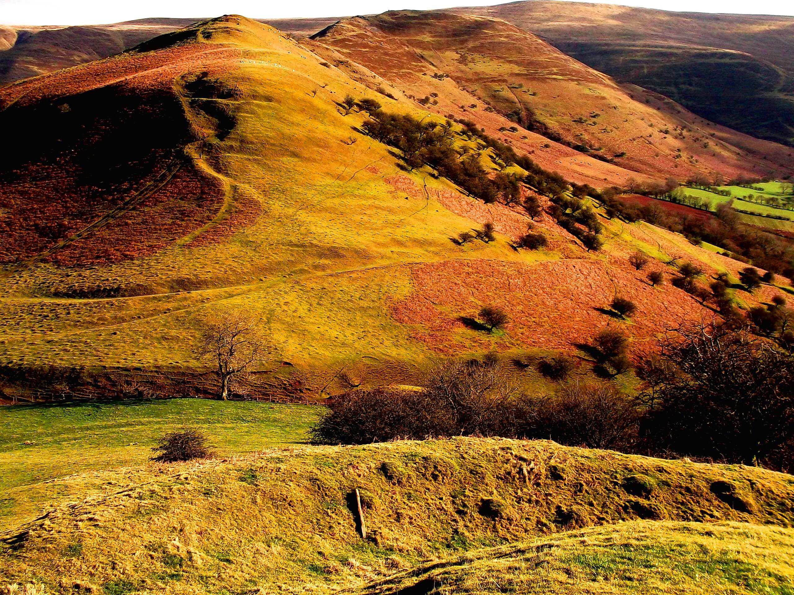
Waun Fach Circular Walk
Difficulty Rating:
The Waun Fach Circular Walk is an intermediate length adventure in Brecon Beacons National Park that will lead you uphill to visit historical sites and the summit of Waun Fach. While out walking the trail, you will climb up the steep mountainside to enjoy spectacular views from atop Waun Fach, before descending along the site of an Iron Age hillfort and the later Norman Era fortification of Castle Dinas. This is an excellent adventure for those who enjoy steep uphill walking and visiting fascinating historical sites.
Getting there
The trailhead for the Waun Fach Circular Walk can be found at the Castle Inn Car Park near The Dragon's Back along A479.

About
| Backcountry Campground | No |
| When to do | April-October |
| Pets allowed | Yes - On Leash |
| Family friendly | Older Children only |
| Route Signage | Average |
| Crowd Levels | Moderate |
| Route Type | Circuit |
Waun Fach Circular Walk
Elevation Graph
Weather
Waun Fach Circular Walk Description:
Unlike some other trails in the area, the Waun Fach Circular Walk is fairly easy to navigate; however, there are some very steep climbs early on that will surely leave you short of breath. Be sure to take your time through these sections, wear proper walking boots, and bring plenty of water for this excursion. Additionally, the parking lot next to the trailhead is quite small, so you may want to arrive early to secure a parking space.
If you enjoy putting a bit of work in to reach a stunning summit vantage point with beautiful views, then the Waun Fach Circular Walk will be a great trail for you. This fun adventure will see you climb up the steep slopes of Waun Fach for a commanding sightline over the Brecon Beacons, before descending along the historical site of Castle Dinas that features the ruins of a Norman Era fortification. While the initial half of the walk is a bit tough, this is an excellent route to explore the rugged and beautiful Welsh countryside.
Setting out from the car park, you will head north for a short distance in order to meet up with a lane and turn right along it to make your way to the southeast past several buildings. Continuing along this route for the next 0.6mi, you will head left at the junction and make your way past a few more buildings, following along the road as it bears right and arrives at another junction in 0.3mi. Here, you will turn right for 150ft and pick up a footpath branching off to your left.
Keeping right along the trail for the next 1.2mi, you will climb up the steep terrain of the mountainside and gain an amazing sightline overlooking the surrounding landscape. After arriving at a 5-way intersection, take the path on your left and follow it to the northeast until you arrive at the summit of Waun Fach, where you will enjoy some commanding views of the undulating terrain of Brecon Beacons National Park.
From the summit viewpoint, you will make your way to the north and keep left along the trail as it hugs the edge of the hillside with a steep drop on your left side that provides some beautiful views into the valley below. After 2.4mi, you will pass straight through the junction and begin to descend the hillside, before making a brief climb up to the historical site of Castle Dinas. While the ruins of the castle here date back to the Norman Era, the site was actually utilized to defend the Rhiangoll Pass dating back to the Iron Age.
After experiencing the stunning views and remarkable history along the trail, you will continue along the path as it descends the hillside to the southwest, eventually leading you back towards the car park where you began your adventure along the Waun Fach Circular Trail.
Trail Highlights
Castle Dinas
With origins dating back to the period of Norman Conquest, Castle Dinas was once an important fortification that served to defend the Rhiangoll Pass. At an elevation of 1476ft, it carries the distinction of being the highest castle in England and Wales. While the ruins of the castle date back to the 11th Century, the site was actually used as a hillfort hundreds of years prior during the Iron Age.
Insider Hints
Wear proper walking boots to traverse the steep terrain.
Arrive early to secure parking.
Pop into the Dragon’s Back for a quick post-walk drink.
Similar hikes to the Waun Fach Circular Walk hike
Hay Bluff and Lord Hereford’s Knob Circular Walk
The Hay Bluff and Lord Hereford’s Knob Circular Walk is a great outdoor adventure in Brecon Beacons National Park that…
Carmarthen Fans Walk
The Carmarthen Fans Walk is a beautifully scenic, albeit long and difficult, walking route in Brecon Beacons National Park that…
Crickhowell Skyline Circular Walk
The Crickhowell Skyline Circular Walk is a lengthy adventure in Brecon Beacons National Park that will take you up into…
Comments