Fforest Fawr Circular Walk
View Photos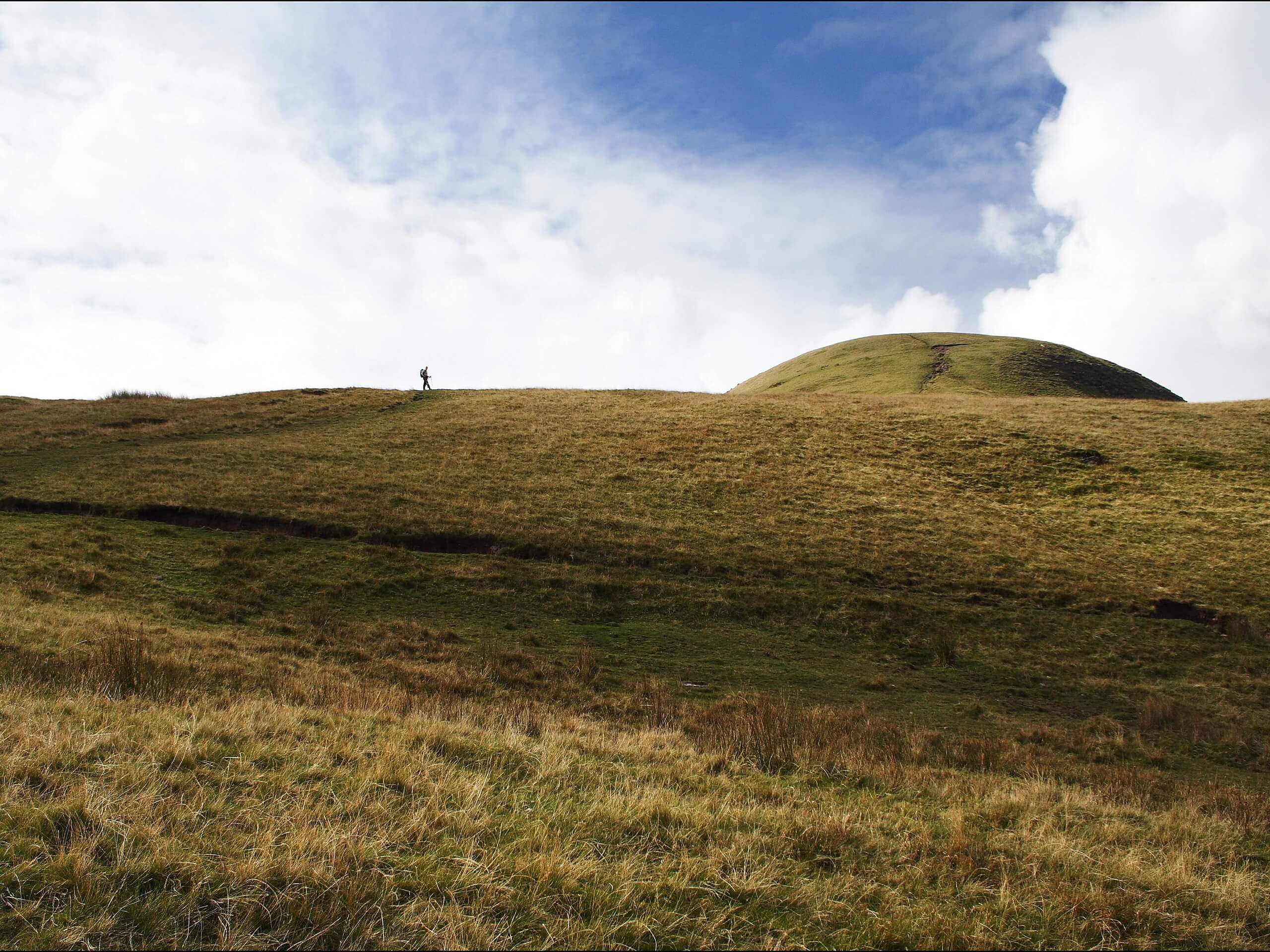
Fforest Fawr Circular Walk
Difficulty Rating:
The Fforest Fawr Circular Walk is a beautifully scenic, albeit tricky to navigate, route in Brecon Beacons National Park that will take you over several mountain peaks to visit a reservoir. While out walking the trail, you will traverse the undulating terrain of the park and climb uphill across Fan Llia to visit the Ystradfellte Reservoir, before traversing Fan Fawr on the return leg. The path can be quite faint in certain areas along this route, so be sure to bring a GPS, trail map, and compass for navigation.
Getting there
The trailhead for the Fforest Fawr Circular Walk can be found at the car park opposite the Storey Arms Outdoor Education Centre along A470.

About
| Backcountry Campground | No |
| When to do | April-October |
| Pets allowed | Yes - On Leash |
| Family friendly | Older Children only |
| Route Signage | Poor |
| Crowd Levels | Moderate |
| Route Type | Circuit |
Fforest Fawr Circular Walk
Elevation Graph
Weather
Fforest Fawr Circular Walk Description:
The rugged terrain and faint paths along the Fforest Fawr Circular Walk can make it a difficult trail to navigate, especially for beginner walkers. If you are planning to set out on this adventure, be sure to bring a GPS, good trail map, and a compass in order to avoid getting lost in Brecon Beacons National Park. Additionally, you will want to wear proper walking boots to better traverse the steep slopes and often boggy landscape along this route.
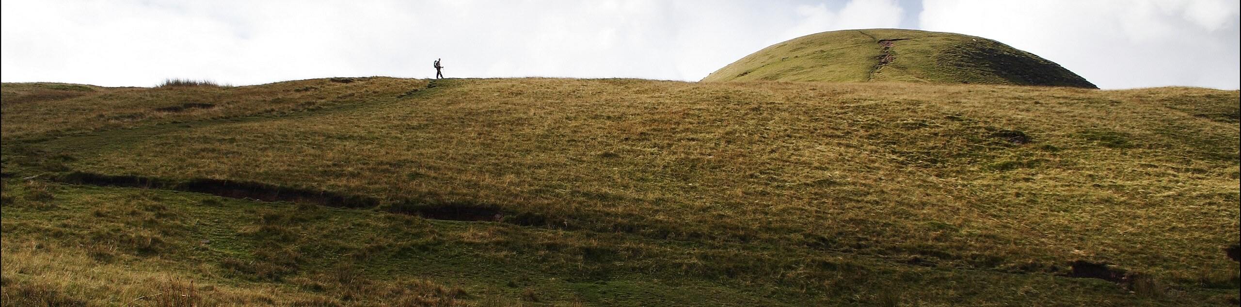
Even though it may be tricky to navigate at times, the Fforest Fawr Circular Walk is an exceptional route that will allow you to disconnect from the outside world and enjoy some quality time in the wilds of Wales. Stunning views from atop Fan Llia and Fan Fawr await on this rugged adventure through Brecon Beacons National Park.
Setting out from the car park, you will make your way to the southwest and begin climbing gradually up the hillside across the barren landscape. After heading right at the fork in the trail, you will continue on and keep to the right for the next 2.2mi, traversing the edge of the steep hillside and crossing over a number of small streams before arriving at a junction in the trail on the edge of the Craig Cerrig Gleisiad a Fan Frynych National Nature Reserve.
Take the path on the left and continue on towards the southwest, traversing the undulating landscape over the next 2.8mi and taking in the beautiful views of the surrounding mountains as you make your way to the summit of Fan Llia. Here, you will enjoy a commanding sightline across the rugged landscape of Brecon Beacons National Park, including the next stop along the walk, the Ystradfellte Reservoir in the valley below.
Continuing on to the southwest, you will keep left along the footpath to begin the steep descent of the mountainside towards the reservoir. This is the point of the walk where navigation will become a bit tricky, as the path becomes quite faint leading up to and after the reservoir. Make sure to utilize your GPS or a good trail map with a compass to ensure that you do not lose your way.
After arriving at the edge of the Ystradfellte Reservoir, you can pause for some lunch and to take in the beautiful views across the surface of the water, before making your way across the dam wall to continue your adventure. Once you have reached the opposite side, you will climb uphill along the faint trail to the northeast, using the trickling waters of Nant Cwm-Porth as your guide.
After climbing uphill to the northeast for 2.0mi from the reservoir, you will arrive at the summit of Fan Fawr, where you will enjoy spectacular views of the surrounding area, including Pen-y-Fan to the northeast. Once you have taken in the views, follow the trail asd it leads downhill to the northeast, continuing on for another 1.0mi in order to arrive back at the car park where you began the Fforest Fawr Circular Walk.
Trail Highlights
Fan Fawr
Situated in Fforest Fawr, an expansive upland area within Brecon Beacons National Park, Fan Fawr (meaning Big Peak in Welsh) is a rugged mountain peak with a steep eastern face. The 734m tall mountain overlooks the Ystradfellte Reservoir to the southwest, the Beacons Reservoir to the southeast, and looks out onto the central Brecon Beacons – including Pen-y-Fan – to the northeast.
Insider Hints
Bring a GPS, compass, and trail map for this off-trail walk.
Proper walking boots are required to traverse the rugged and boggy landscape.
Storey Arms Refreshments at the car park is a great place to stop for post-walk snacks.
Similar hikes to the Fforest Fawr Circular Walk hike
Hay Bluff and Lord Hereford’s Knob Circular Walk
The Hay Bluff and Lord Hereford’s Knob Circular Walk is a great outdoor adventure in Brecon Beacons National Park that…
Carmarthen Fans Walk
The Carmarthen Fans Walk is a beautifully scenic, albeit long and difficult, walking route in Brecon Beacons National Park that…
Crickhowell Skyline Circular Walk
The Crickhowell Skyline Circular Walk is a lengthy adventure in Brecon Beacons National Park that will take you up into…
Comments